Don Pedro Reservoir
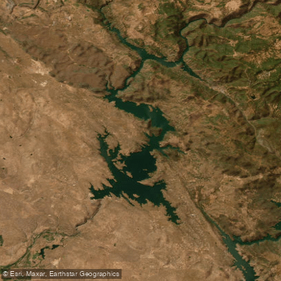
Don Pedro Reservoir
- Boat Ramps
- 4
- Access Points
- 5
- Campsites
- 5
Don Pedro Reservoir is a vast 13,000-acre lake located in the Sierra Nevada foothills of California. As the state's 5th largest reservoir, it offers 160 miles of shoreline and diverse paddling opportunities. The lake's size accommodates various water activities, but paddlers should be aware of potential boat traffic.
Two main access points serve the lake: Lake Don Pedro Marina and Moccasin Point. Both areas provide boat ramps, rentals, and camping facilities. Dispersed shoreline camping is permitted, offering a unique experience for paddlers seeking a more rustic overnight option.
Wind can be a significant hazard on Don Pedro. Paddlers are advised to start early in the morning to avoid gusty conditions common later in the day. Staying close to the shoreline is recommended due to both wind and boat traffic.
The lake is known for its abundant wildlife. Paddlers can expect to see deer, bears, and various bird species. The surrounding landscape is majestic, providing a scenic backdrop for kayaking, canoeing, and stand-up paddleboarding.
Fishing from kayaks is popular, with opportunities to catch trout, salmon, black bass, catfish, and bluegill. The lake's depth allows for both cold and warm water species.
Don Pedro receives over half a million visitors annually, with peak usage occurring between May and September. The summer months offer the most reliable weather for paddling, though spring and fall can provide comfortable temperatures with less predictable conditions.
The lake's water level can fluctuate significantly, as it serves irrigation, power generation, and flood control purposes. Paddlers should check current conditions before planning their trip.
The lake's size and varied shoreline offer ample opportunities for both short excursions and full-day explorations, with plenty of coves and inlets to discover.
Water access, boat ramps & amenities
Learn how to get on Don Pedro Reservoir. Uncover great paddling access points, boat ramps, and all the facilities you need for an unforgettable day on the water. Some locations shown may border or include private property. Always check property boundaries and applicable regulations before visiting. PaddleWays's Public & Private Land layer can help you plan your access with confidence.
Paddle smarter with real-time insights
Whether you're en route and conditions shift or you're looking for the best spot based on current flows, we enable you to make informed decisions on the fly.








Find Places to Paddle

Over 400,000 Places to Paddle
Every user gets free access to launch points, boat ramps, and public property parcels.


Water and weather conditions (10 day forecast)
See the best times to paddle Don Pedro Reservoir and check the forecast before you go.
No forecast data available.
Paddling near Don Pedro Reservoir

Tuolumne River

Merced River

Stanislaus River
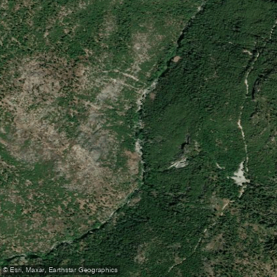
Middle Fork Stanislaus River

Mokelumne River
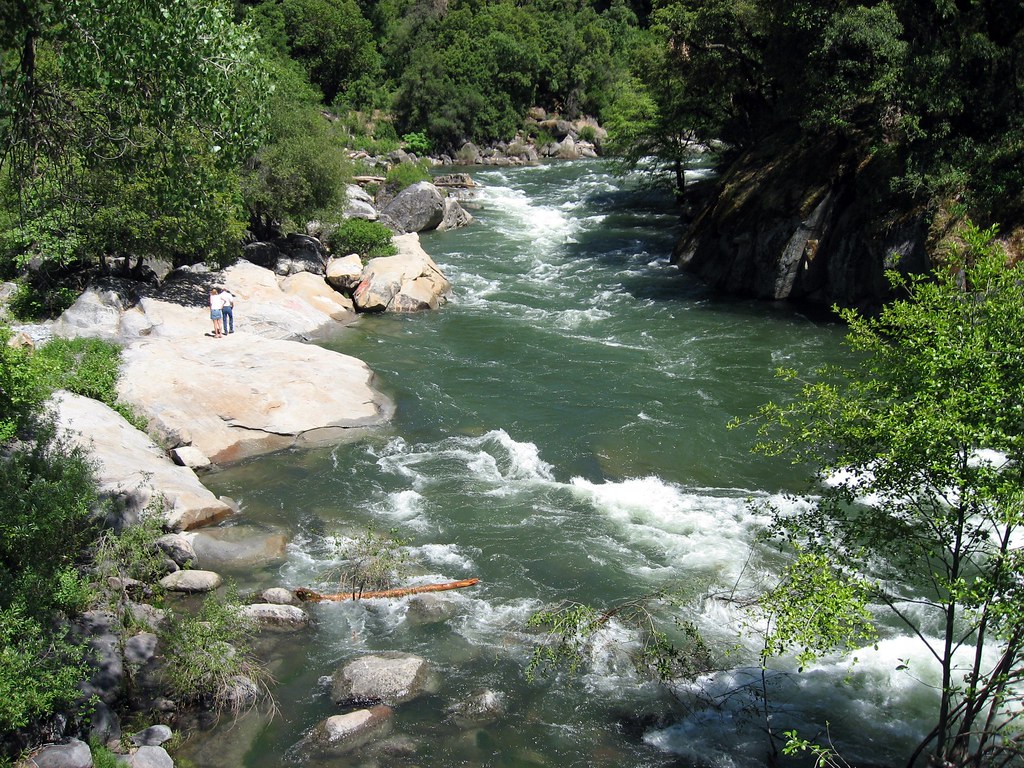
North Fork Mokelumne River
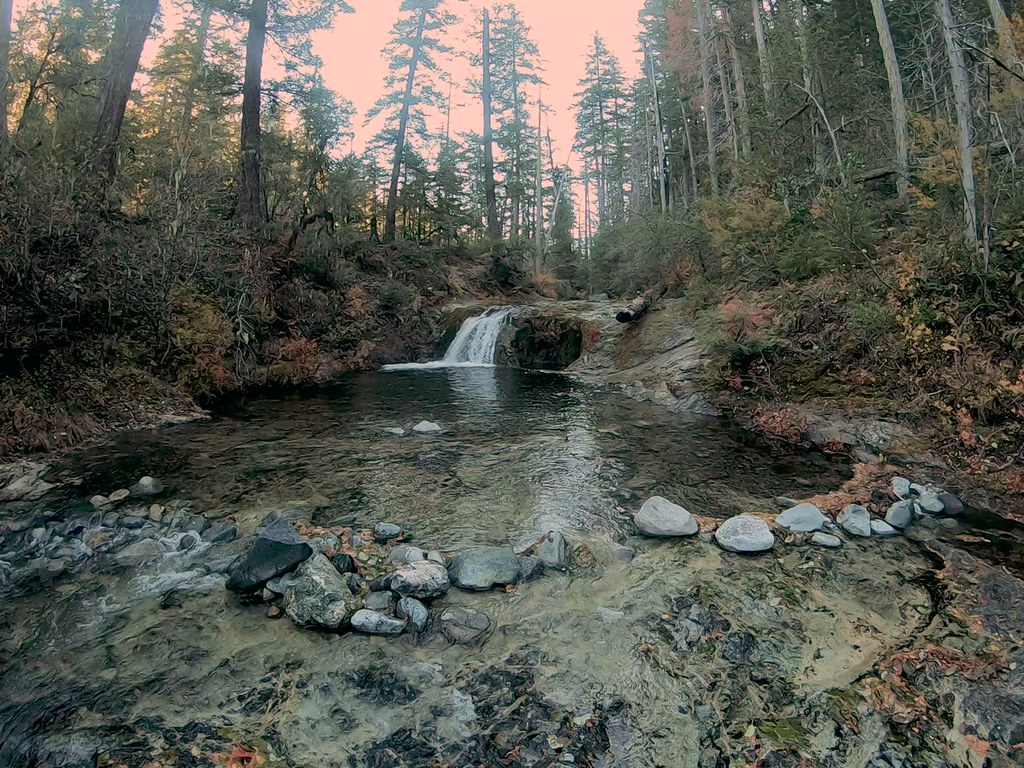
Silver Creek
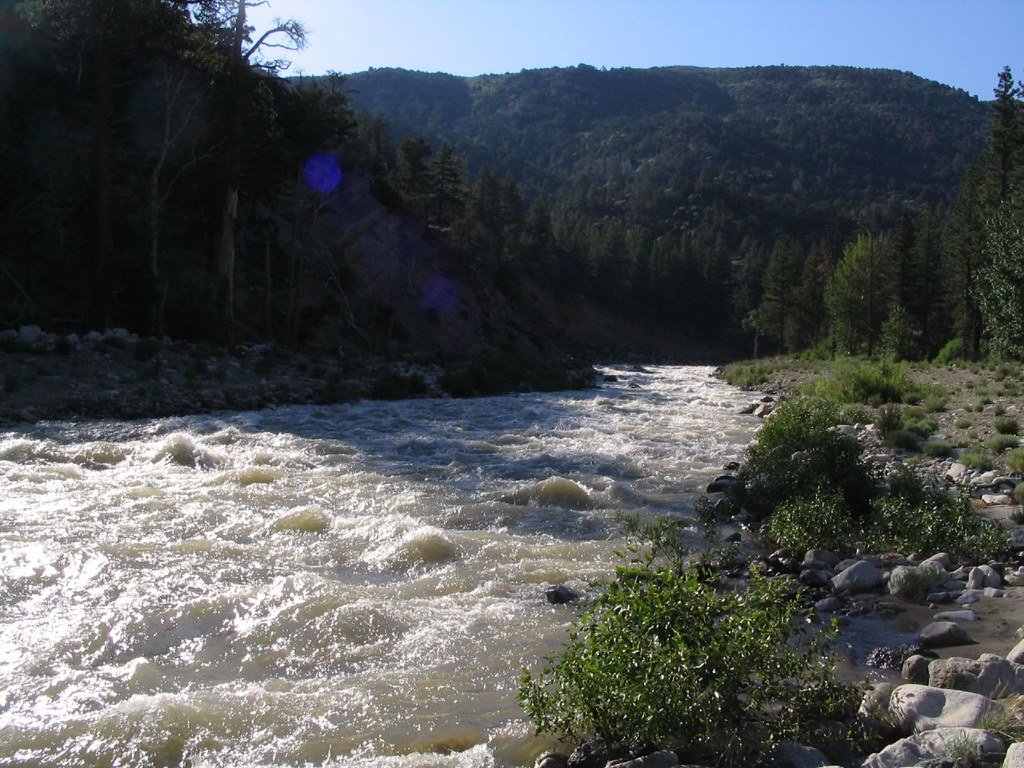
West Walker River
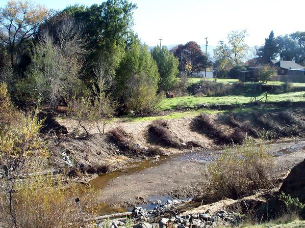
Robinson Creek
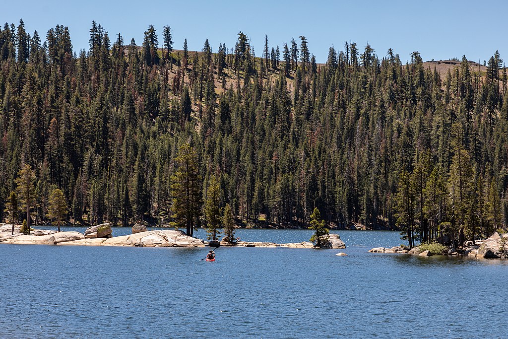
Lake Alpine
Explore California waters
Top paddling waters
Popular Cities
Loading popular cities...
Explore near Don Pedro Reservoir
Access points
- Main Tuolumne Take-out
- Don Pedro Recreation Area Boat Ramp
- Don Pedro Recreation Area Boat Ramp
- Don Pedro Recreation Area Boat Ramp
- Don Pedro Reservoir Access
- Jacksonville Road Bridge
- 49 Bridge
- Moccasin Creek Bridge
- Sullivan Creek Bridge
- Salt Spring Creek Bridge
- Sullivan Creek Bridge
- Curtis Creek Bridge
- All 25 spots
Nearby waters
More in California

Smarter Paddling Starts in the App.
Paddleways gives you everything you need to plan smarter, paddle better, and own every trip from first launch to takeout.