Lake Oroville
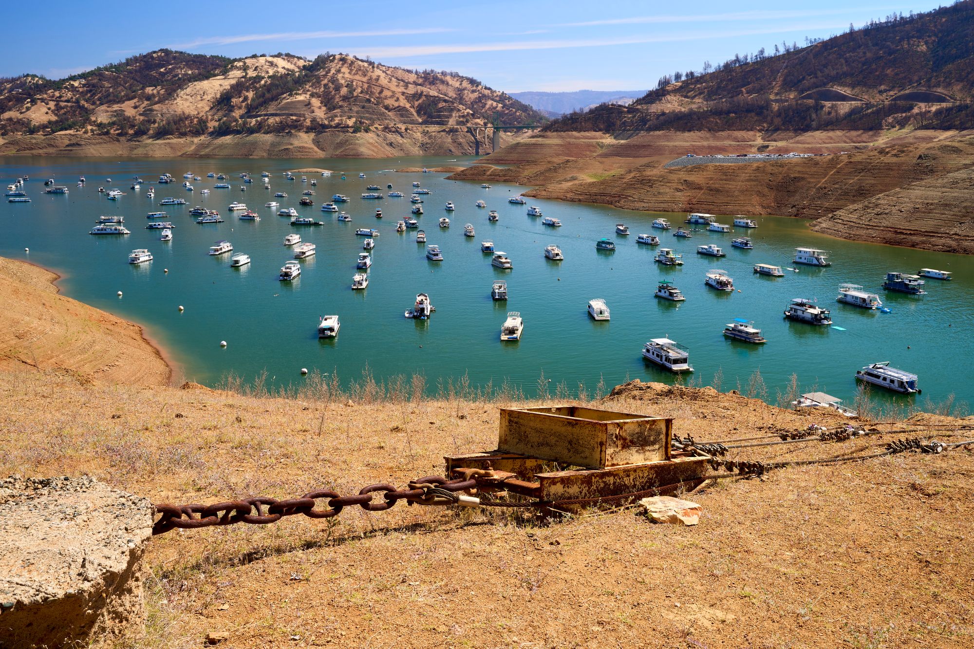
Lake Oroville
- Boat Ramps
- 0
- Access Points
- 1
- Campsites
- 22
Lake Oroville, located 75 miles north of Sacramento in California, offers paddlers over 167 miles of shoreline to explore. This man-made reservoir in the Sierra Nevada foothills provides warm water temperatures and air, making it a popular boating destination.
Paddlers can access the lake via four boat launches: Bidwell Canyon Marina, Loafer Creek, Spillway, and Lime Saddle Marina. However, three launches are clustered together, limiting options for sectional paddling without overnight camping. The lake attracts numerous powerboats and jet skis, which paddlers should be aware of for safety.
Wildlife viewing opportunities abound, with paddlers potentially spotting wild turkeys, raccoons, ring-tailed cats, deer, coyotes, badgers, foxes, and bobcats. The lake is known for excellent fishing, particularly for spotted bass, but also offers trout, salmon, catfish, and other species.
Lake Oroville's scenery includes pine and oak-covered hills, rock outcroppings, and seasonal wildflowers in spring. Fall foliage viewing can be spectacular. The lake's winding channels and inlets provide numerous areas to explore.
Facilities for paddlers include picnic areas, swimming beaches, and boat-in campgrounds. The lake is part of Lake Oroville State Recreation Area, offering additional hiking and camping options nearby.
While Lake Oroville provides an expansive paddling environment, paddlers should be prepared for potential crowds and motorized boat traffic, especially during peak summer months. Early mornings or weekdays may offer calmer conditions for paddling.
Water access, boat ramps & amenities
Learn how to get on Lake Oroville. Uncover great paddling access points, boat ramps, and all the facilities you need for an unforgettable day on the water. Some locations shown may border or include private property. Always check property boundaries and applicable regulations before visiting. PaddleWays's Public & Private Land layer can help you plan your access with confidence.
Paddle smarter with real-time insights
Whether you're en route and conditions shift or you're looking for the best spot based on current flows, we enable you to make informed decisions on the fly.








Find Places to Paddle

Over 400,000 Places to Paddle
Every user gets free access to launch points, boat ramps, and public property parcels.


Water and weather conditions (10 day forecast)
See the best times to paddle Lake Oroville and check the forecast before you go.
No forecast data available.
Paddling near Lake Oroville
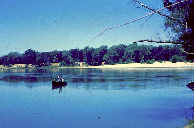
Feather River
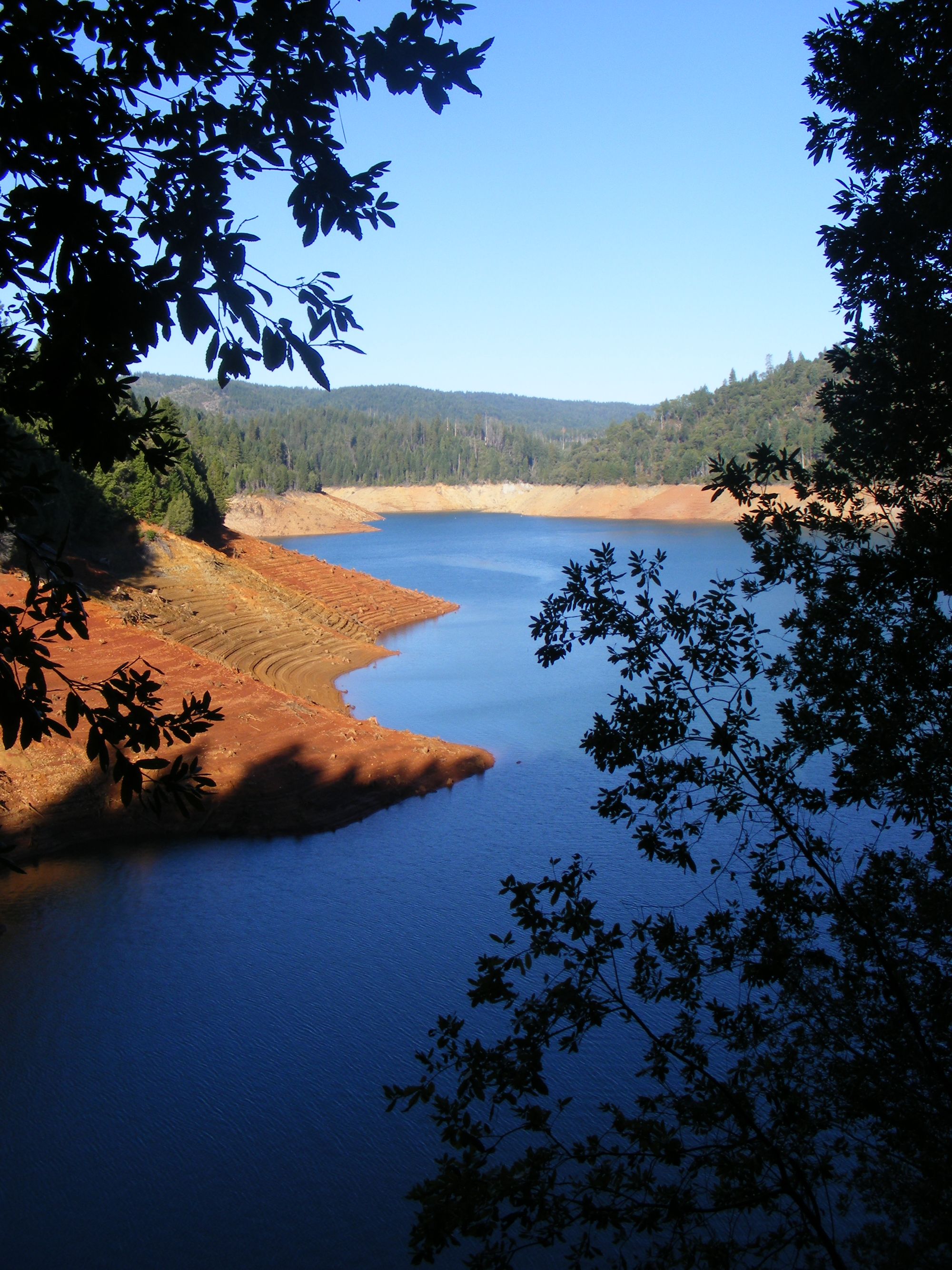
New Bullards Bar Reservoir

Sacramento River
North Yuba River
Yuba River
South Yuba River

North Fork American River
Sugar Pine Reservoir
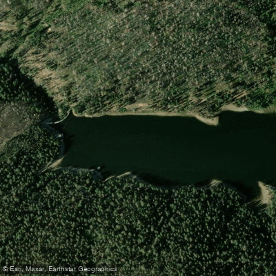
Bucks Creek
Explore California waters
Top paddling waters
Popular Cities
Loading popular cities...
Explore near Lake Oroville
Access points
Nearby waters
More in California

Smarter Paddling Starts in the App.
Paddleways gives you everything you need to plan smarter, paddle better, and own every trip from first launch to takeout.