Lake Berryessa
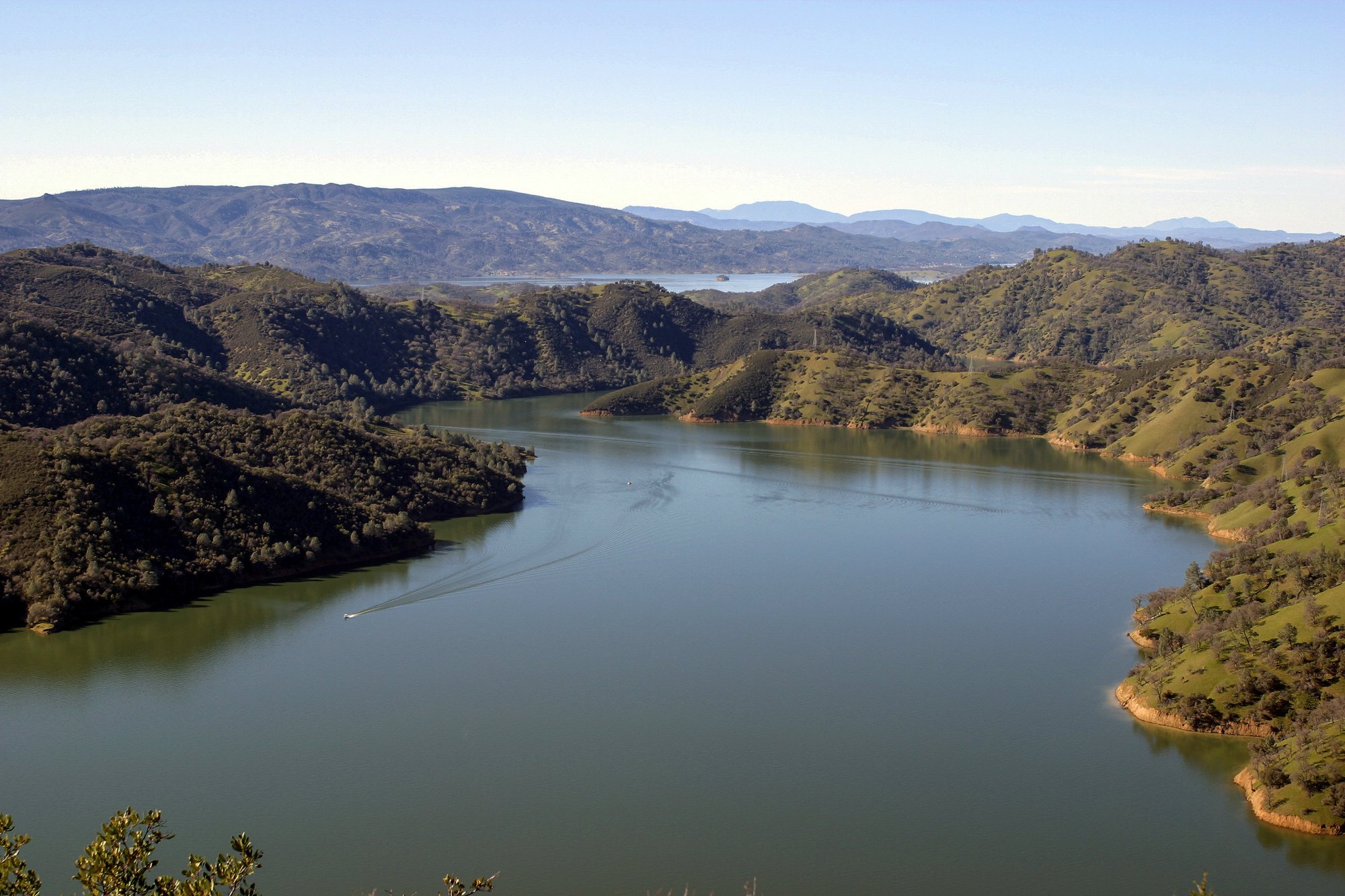
Lake Berryessa
- Boat Ramps
- 10
- Access Points
- 11
- Campsites
- 6
Lake Berryessa, one of California's largest freshwater bodies, offers paddlers a diverse and scenic experience. The lake spans 23 miles in length and up to 3.5 miles in width, with 165 miles of shoreline to explore. Its southwestern shore features numerous secluded inlets and coves, providing shelter from wind and motorized boat traffic.
Paddlers can access the lake via two marinas and three recreation areas with concessions. Hand-launching is permitted anywhere with legal water access. The lake's size allows for sectional exploration through multiple boat launch locations.
Wildlife viewing opportunities abound, particularly during spring and fall migration seasons. Paddlers may spot deer, coyote, bobcat, skunk, and grey fox along the shoreline. Bald eagles nest on Eagle Island.
The lake maintains pleasant air temperatures year-round, with water surface temperatures ranging from 70 to 80 degrees Fahrenheit between May and October. Brilliant sunrises and sunsets enhance the paddling experience, along with consistently sunny days.
Several hiking trails, ranging from 1.1 to 2.6 miles, encircle the lake's perimeter. These paths offer scenic views of grassy hills dotted with oak and manzanita trees, providing additional recreational options for paddlers.
Lake Berryessa accommodates various paddling disciplines, including kayaking, canoeing, and stand-up paddleboarding. The lake's calm waters make it suitable for beginners, while its expansive area offers ample exploration for more experienced paddlers.
Camping facilities are available near the lake, allowing for multi-day paddling adventures. Visitors should be aware of the $20 per car fee to enter recreation areas, which includes access to day-use facilities such as picnic tables and BBQ pits.
Water access, boat ramps & amenities
Learn how to get on Lake Berryessa. Uncover great paddling access points, boat ramps, and all the facilities you need for an unforgettable day on the water. Some locations shown may border or include private property. Always check property boundaries and applicable regulations before visiting. PaddleWays's Public & Private Land layer can help you plan your access with confidence.
Paddle smarter with real-time insights
Whether you're en route and conditions shift or you're looking for the best spot based on current flows, we enable you to make informed decisions on the fly.








Find Places to Paddle

Over 400,000 Places to Paddle
Every user gets free access to launch points, boat ramps, and public property parcels.


Water and weather conditions (10 day forecast)
See the best times to paddle Lake Berryessa and check the forecast before you go.
Lake Berryessa and Monticello Dam
Paddling near Lake Berryessa

San Joaquin River

Sacramento River

San Pablo Bay
Russian River

Mokelumne River

San Francisco Bay
Clear Lake

American River
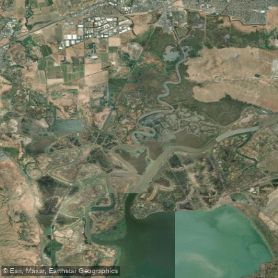
Suisun Slough
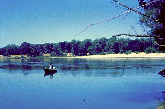
Feather River
Explore California waters
Top paddling waters
Popular Cities
Loading popular cities...
Explore near Lake Berryessa
Access points
- Blue Oaks Boat Ramp
- Lupine Shores Boat Ramp
- Chaparral Cove Boat Ramp
- Markley Cove Resort Boat Ramp
- Foothill Pines Boat Ramp
- Lake Berryessa Seaplane Base Boat Ramp
- Capell Cove Boat Ramp
- Oak Shores Day Use Boat Ramp
- Pleasure Cove Resort Boat Ramp
- Manzanita Canyon (was Rancho Monticello Resort) Boat Ramp
- Lake Berryessa Access
- Putah Creek Bridge
- All 34 spots
Nearby waters
More in California

Smarter Paddling Starts in the App.
Paddleways gives you everything you need to plan smarter, paddle better, and own every trip from first launch to takeout.