Forest Route 37N06 Access
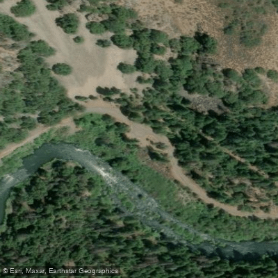
Forest Route 37N06 Access
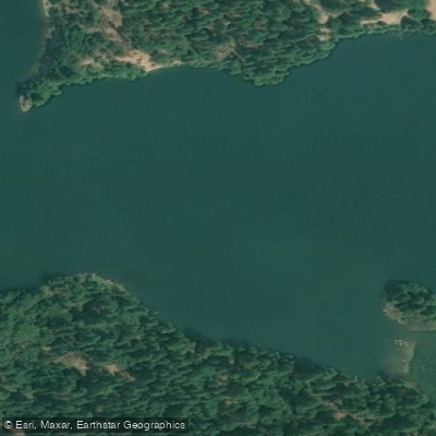
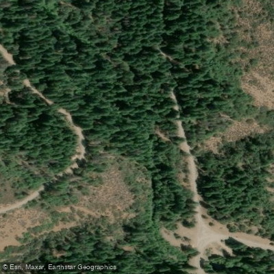
Forest Route 37N06 (Pit River Road) provides access to the scenic Pit River corridor in Shasta-Trinity National Forest near the Pit 4 dam, serving as the primary route to Ruling Creek Campground and other riverside recreation areas.
Note that construction activities may cause intermittent road closures on this route through December 2025 (Monday-Friday, 7am-6pm), so plan accordingly or use alternate routes.
The road provides access to excellent fly fishing opportunities and riverside camping along one of Northern California's premier angling destinations.
More ways to access Pit River
Explore the wonders of Pit River! Find excellent paddling spots, easy access to boat ramps, and all the amenities you need for a memorable day by the water. Your adventure starts here.
Water and weather conditions (10 day forecast)
Check the forecast at Forest Route 37N06 Access before you go paddling.
No forecast data available.
Paddling near Forest Route 37N06 Access
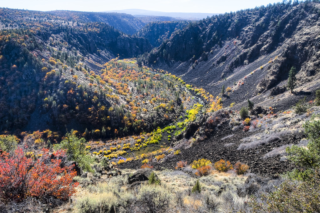
Pit River
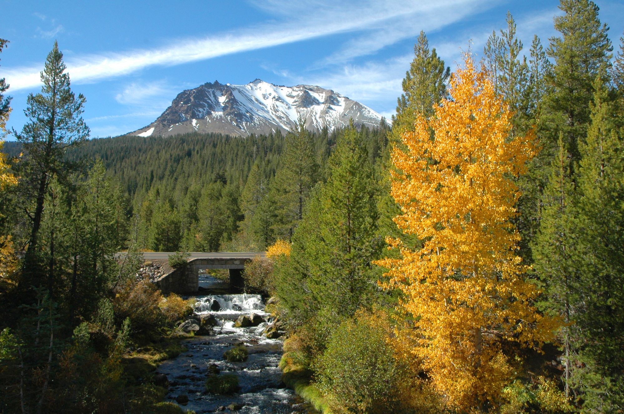
Hat Creek
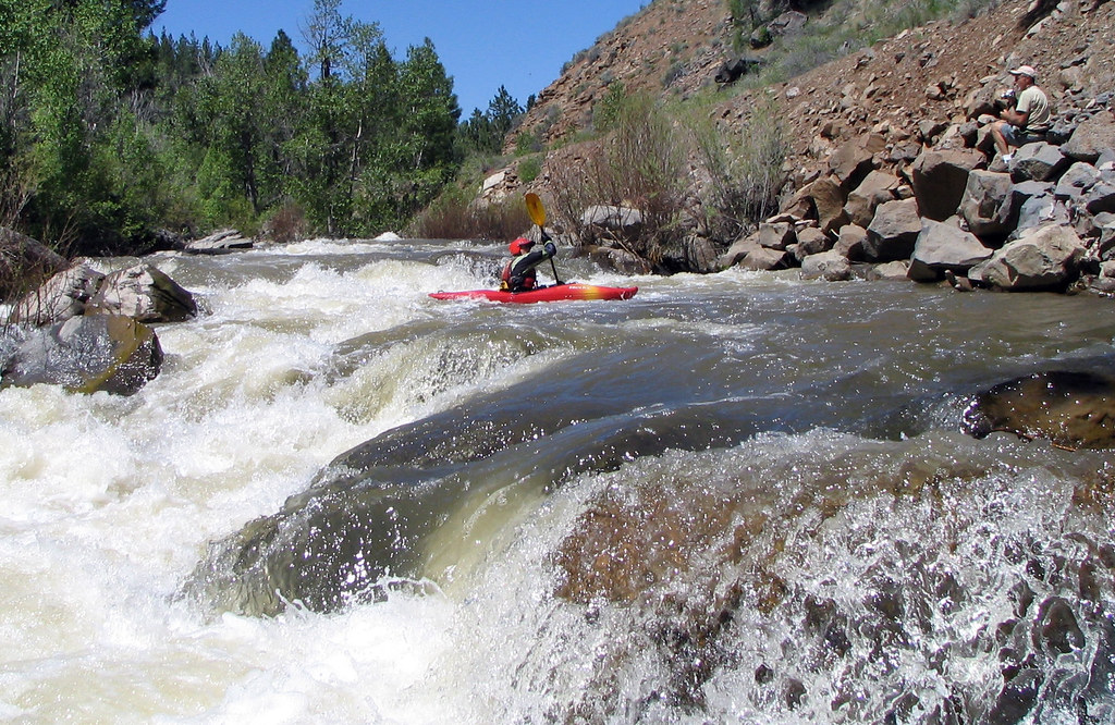
Susan River
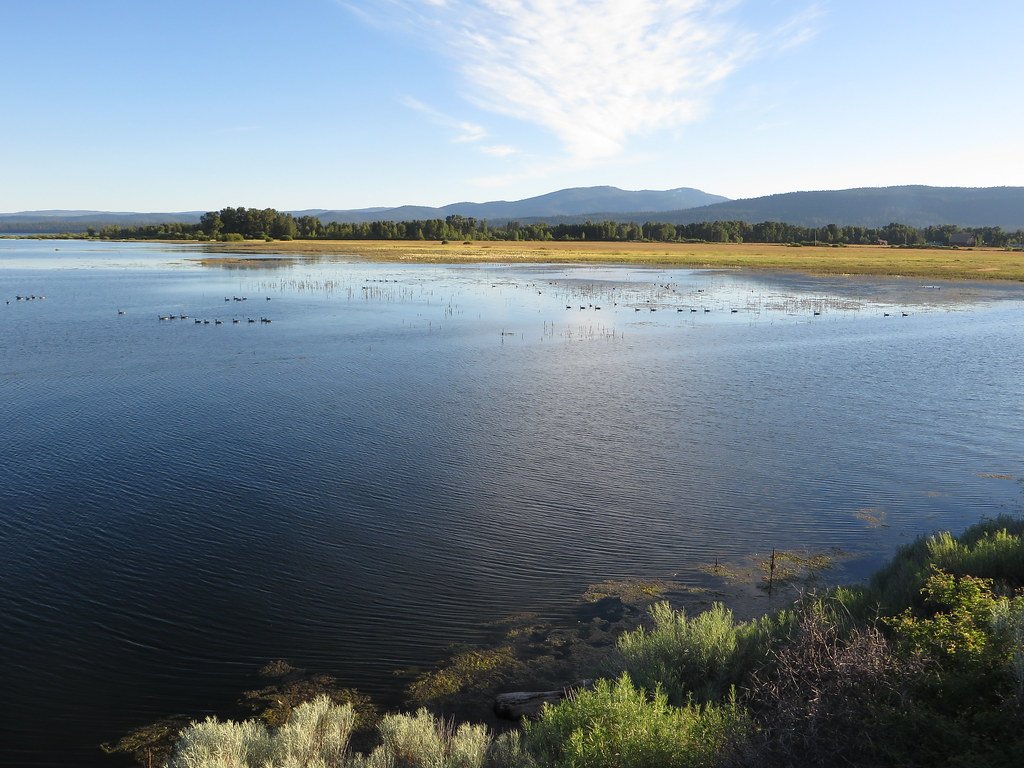
Lake Almanor

Sacramento River
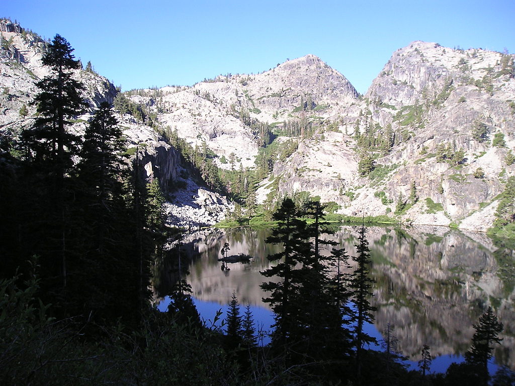
Eagle Lake
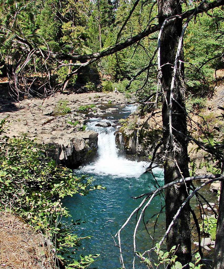
McCloud River
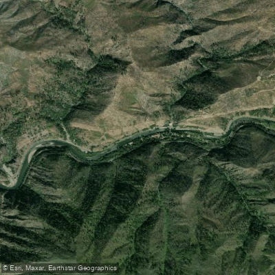
North Fork Feather River
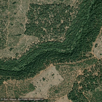
North Fork Battle Creek
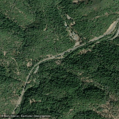
Little Cow Creek
California licenses and regulations
Explore California waters
Top paddling waters
No waters available right now.
Popular Cities
Loading popular cities...
Explore near Forest Route 37N06 Access
On this water
Nearby spots
- McArthur Burney Falls Memorial SP Boat Ramp
- Ruling Creek Campground Boat Ramp
- Burney Creek Access
- Clark Creek Lower Access
- Forest Route 37N06 Access
- Lake Britton Access
- Rock Creek Access
- Big Pine Campground
- Env Campground
- Gravel Bar Campground
- Pioneer Campground
- Pioneer Cemetery Trail Hike and Bike Campground
- All 13 nearby spots
Nearby waters
More in California

Smarter Paddling Starts in the App.
Paddleways gives you everything you need to plan smarter, paddle better, and own every trip from first launch to takeout.