McCloud River
McCloud River
- Boat Ramps
- 4
- Access Points
- 6
- Campsites
- 38
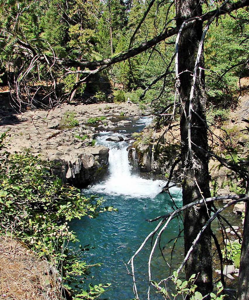
The McCloud River is a pristine waterway in northern California, originating on the southern slopes of Mount Shasta and flowing south for approximately 77 miles before joining the Pit River arm of Shasta Lake. Fed by volcanic springs, the river is known for its crystal-clear turquoise waters and consistent year-round flow. Paddlers are drawn to the McCloud for its scenic beauty and variety of whitewater sections.
The upper river offers Class III-IV rapids from Fowler Camp to McCloud Reservoir, a 10-mile stretch considered one of California's best runs. Below McCloud Dam, the Lower McCloud Falls section provides a challenging Class III-IV+ experience with a possible Class V- rapid at the start. The lower river, from Ah-di-na Camp to Shasta Lake, offers 20 miles of Class III-IV whitewater through a remote canyon. The river's difficulty ranges from Class II to IV+, with most sections requiring intermediate to advanced paddling skills.
Spring snowmelt brings higher water levels, but the McCloud's spring-fed nature allows for extended paddling seasons, often into late summer and fall. The McCloud's ecosystem supports diverse wildlife, including bald eagles, osprey, and the rare Shasta salamander. The river is renowned for its wild trout population, with the lower section designated as a Wild Trout Stream by the California Department of Fish and Wildlife.
Key landmarks include the three-tiered McCloud Falls, Big Springs, and the historic Ah-di-na Campground. Access points are available near the town of McCloud, at Fowler Camp, Lower Falls, McCloud Reservoir, and Ah-di-na Camp. Historically, the McCloud River was home to the Winnemem Wintu tribe and later became important for logging and hydroelectric power. Today, it's valued for recreation and conservation.
Safety considerations include cold water temperatures year-round and remote stretches with limited access. Paddlers should be aware of flow-dependent hazards and check current conditions before trips. Multi-day trips are possible on the lower river, with primitive camping available at designated sites. The 25-mile stretch from McCloud Reservoir to Shasta Lake is a popular two to three-day adventure for experienced paddlers seeking a wilderness experience.
The McCloud River offers a quintessential northern California paddling experience, combining challenging whitewater, stunning scenery, and rich natural history in a relatively accessible package.
Water access, boat ramps & amenities
Learn how to get on McCloud River. Uncover great paddling access points, boat ramps, and all the facilities you need for an unforgettable day on the water. Some locations shown may border or include private property. Always check property boundaries and applicable regulations before visiting. PaddleWays's Public & Private Land layer can help you plan your access with confidence.
Paddle smarter with real-time insights
Whether you're en route and conditions shift or you're looking for the best spot based on current flows, we enable you to make informed decisions on the fly.








Find Places to Paddle

Over 400,000 Places to Paddle
Every user gets free access to launch points, boat ramps, and public property parcels.


Water and weather conditions (10 day forecast)
See the best times to paddle McCloud River and check the forecast before you go.
MCCLOUD RIVER NEAR MCCLOUD
All Flow Stations
Paddling near McCloud River

Sacramento River
Shasta Lake
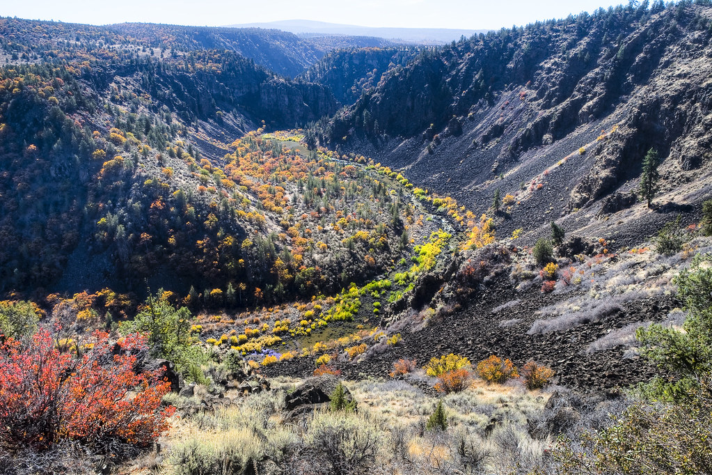
Pit River
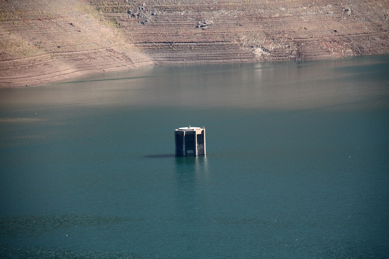
Trinity Lake
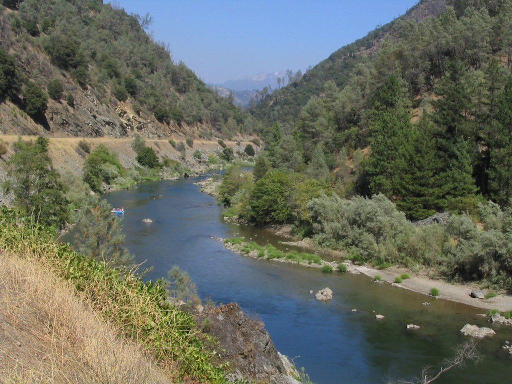
Trinity River
Stuart Fork
Hat Creek
Lewiston Lake
Clear Creek
Explore California waters
Top paddling waters
Popular Cities
Loading popular cities...
Explore near McCloud River
Access points
Nearby waters
More in California

Smarter Paddling Starts in the App.
Paddleways gives you everything you need to plan smarter, paddle better, and own every trip from first launch to takeout.