Sacramento River

Sacramento River
- Boat Ramps
- 56
- Access Points
- 67
- Campsites
- 54
The Sacramento River, California's largest waterway, offers an incredible diversity of paddling experiences along its 375-mile journey from Mount Shasta to the San Francisco Bay. This mighty river system provides everything from challenging whitewater in its upper reaches to serene flatwater touring through the Central Valley and intricate delta waterways.
In the upper sections near Mount Shasta and Dunsmuir, experienced paddlers can test their skills on Class III-IV rapids, with some stretches reaching Class V difficulty. The Box Canyon Dam to Dunsmuir run is particularly challenging, offering 7.5 miles of continuous rapids and stunning scenery.
As the river flows south, it mellows into more moderate Class II-III waters perfect for intermediate paddlers and scenic floats. The middle sections from Redding to Red Bluff provide excellent opportunities for multi-day trips and wildlife viewing. This 54-mile stretch features a few rapids but is characterized mostly by strong current and riffles, making it ideal for canoeists and kayakers of varying skill levels.
The river here swings far to the east away from roads, offering a sense of isolation and excellent opportunities to spot bald eagles, ospreys, and other wildlife. Further downstream, the Sacramento opens up into a vast network of waterways in the Delta region. This maze-like area is a paddler's paradise, with over 1,000 miles of navigable channels to explore. It's perfect for flatwater kayaking and stand-up paddleboarding, offering countless options for day trips or longer expeditions.
The best time to paddle the Sacramento varies depending on the section. The upper reaches are typically run in spring and early summer when snowmelt provides optimal flows. The middle and lower sections can be enjoyed year-round, though summer offers the most reliable weather. Winter paddling is possible but requires caution due to potential high water and colder temperatures.
Along its course, the Sacramento River passes through diverse ecosystems, from coniferous forests in the north to riparian woodlands and wetlands in the Delta. The river is crucial for California's ecology and economy, particularly its salmon fishery. Over 70% of the salmon caught off California's coast spawn in the Sacramento River and its tributaries, making it a world-class destination for anglers.
Key landmarks along the river include the dramatic Castle Crags formation near Dunsmuir, the Sundial Bridge in Redding, and the expansive Brannan Island State Recreation Area in the Delta. Towns like Dunsmuir, Redding, and Red Bluff serve as important access points and resupply locations for paddlers.
Safety is paramount on the Sacramento. The river's flow can vary significantly based on releases from upstream dams, and paddlers should always check current conditions before setting out. In the upper sections, scouting rapids and wearing appropriate safety gear is essential. Throughout the river, but especially in the Delta, boaters should be aware of other river traffic and potential tidal influences.
For those seeking a truly epic adventure, it's possible to paddle the entire length of the Sacramento from Mount Shasta to San Francisco Bay. This journey typically takes several weeks and offers an unparalleled way to experience the diverse landscapes and ecosystems of Northern California. Whether you're looking for a thrilling day of whitewater or a leisurely multi-day float, the Sacramento River has something to offer paddlers of all interests and skill levels.
Water access, boat ramps & amenities
Learn how to get on Sacramento River. Uncover great paddling access points, boat ramps, and all the facilities you need for an unforgettable day on the water. Some locations shown may border or include private property. Always check property boundaries and applicable regulations before visiting. PaddleWays's Public & Private Land layer can help you plan your access with confidence.
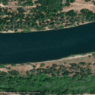
Sacramento River Red Bluff Access
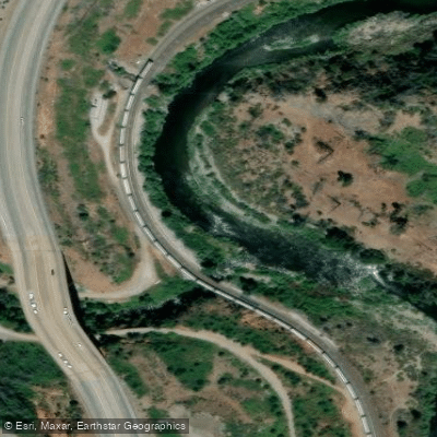
Sacramento River Access
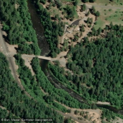
Soda Creek Pacific Crest Trail Access
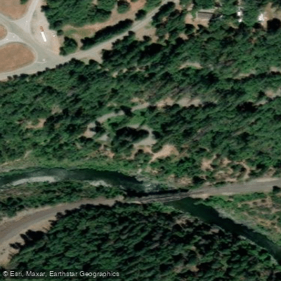
Pollard Flat Access
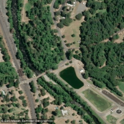
S 1st Street Access
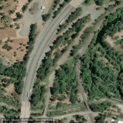
Frontage Road Access
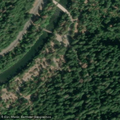
Sims Flat Access
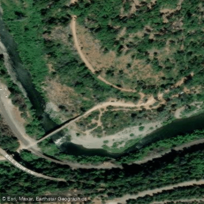
Fenders Ferry Access
Siskiyou Lake Access
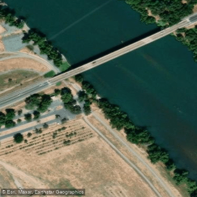
Irvine Finch River Access
Paddle smarter with real-time insights
Whether you're en route and conditions shift or you're looking for the best spot based on current flows, we enable you to make informed decisions on the fly.








Find Places to Paddle

Over 400,000 Places to Paddle
Every user gets free access to launch points, boat ramps, and public property parcels.


Water and weather conditions (10 day forecast)
See the best times to paddle Sacramento River and check the forecast before you go.
SACRAMENTO R A CHANNEL MARKER 5 A COLLINSVILLE CA
All Flow Stations
Paddling near Sacramento River
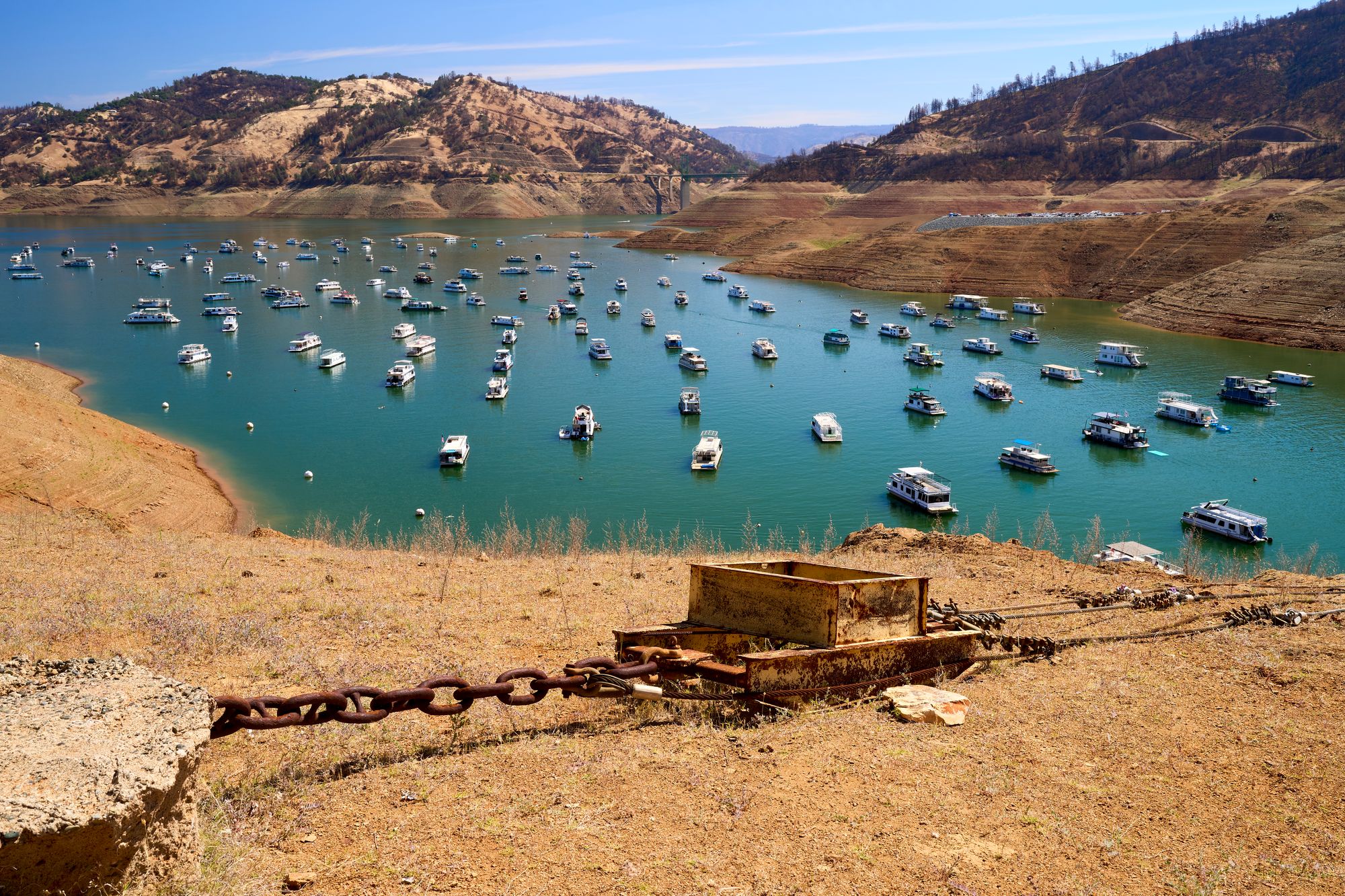
Lake Oroville
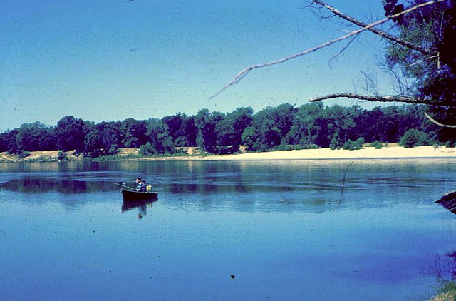
Feather River
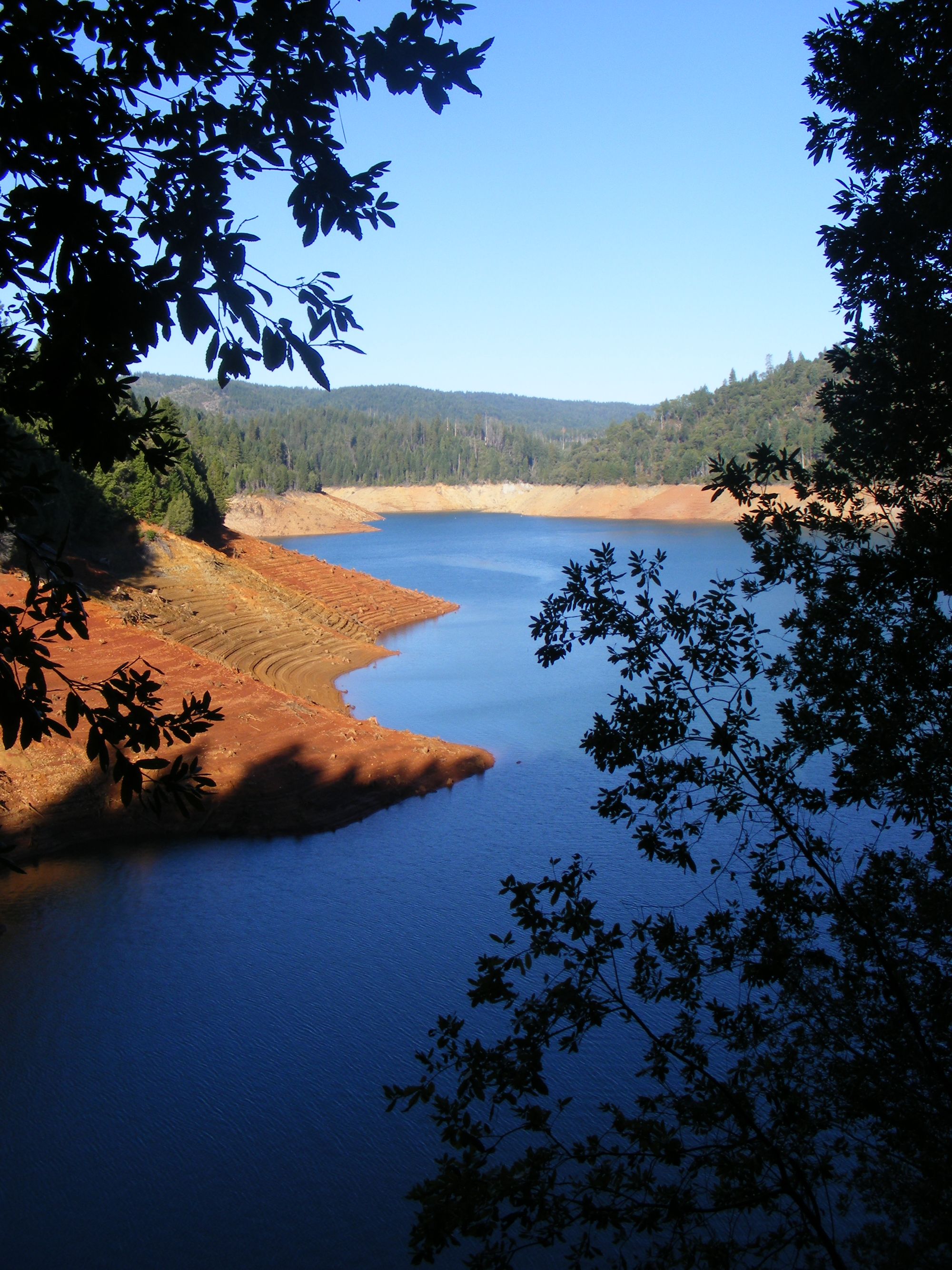
New Bullards Bar Reservoir
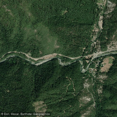
North Yuba River
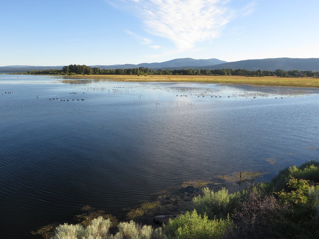
Lake Almanor
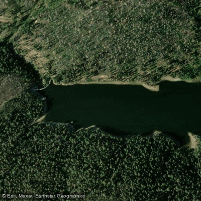
Bucks Creek
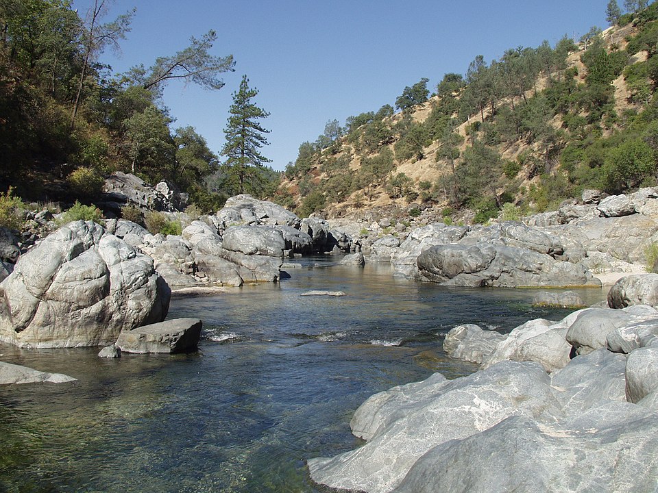
Yuba River
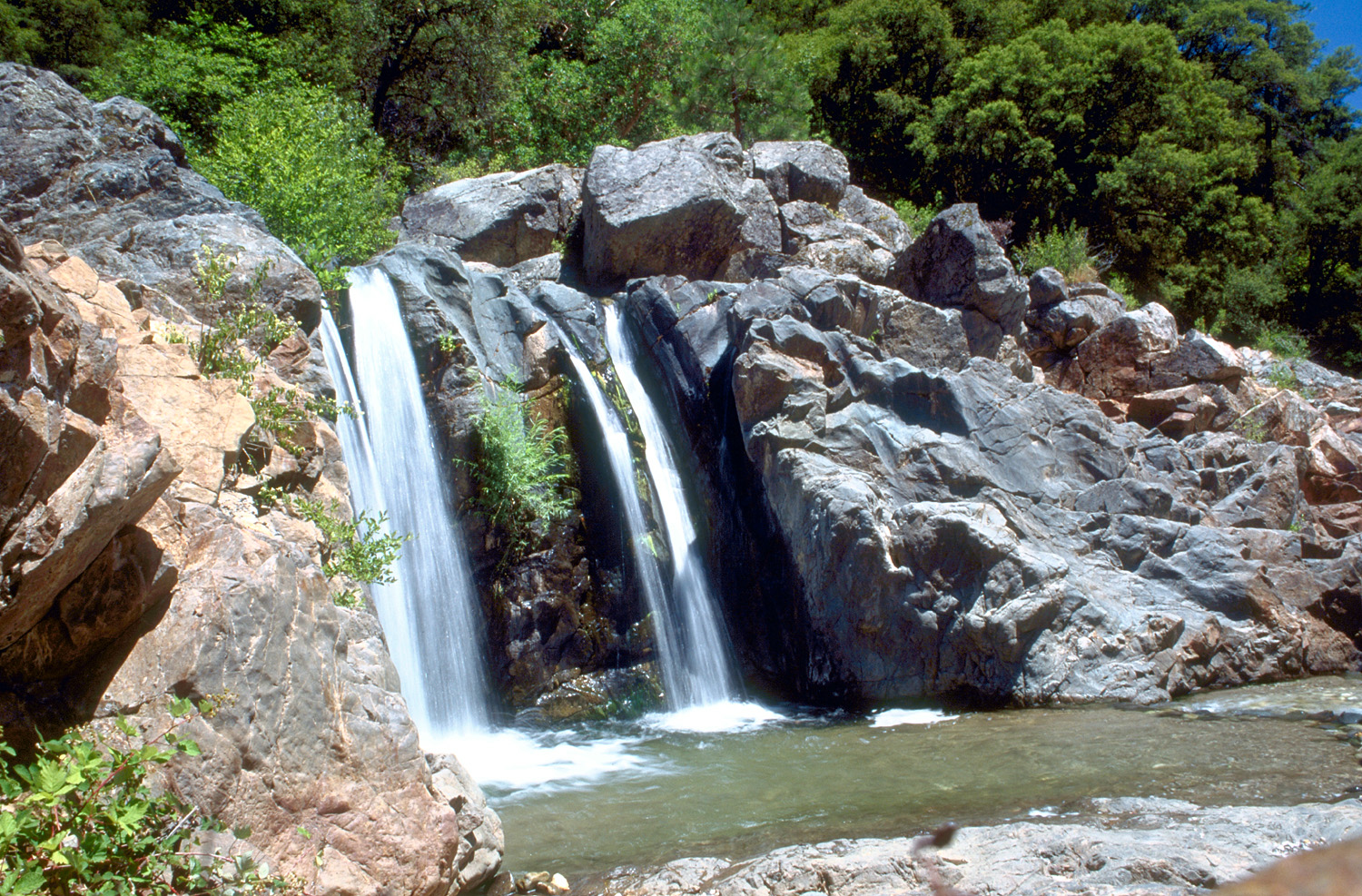
South Yuba River
North Fork Feather River
Explore California waters
Top paddling waters
Popular Cities
Loading popular cities...
Explore near Sacramento River
Access points
- Lovey's Landing Dock Boat Ramp
- Sacramento Box Alt. Take-out and Gauge
- Ohm Boat Ramp
- Butte City Launching Facility Boat Ramp
- Red Bluff River Park Boat Ramp
- Sacremento Box Take-out
- Boathouse Marina Boat Ramp
- Tisdale Boat Ramp
- Llano Seco Island Boat Ramp
- Flynn Boat Ramp
- Riverbank Marina
- Bert's Steelhead Marina Boat Ramp
- All 447 spots
Nearby waters
More in California

Smarter Paddling Starts in the App.
Paddleways gives you everything you need to plan smarter, paddle better, and own every trip from first launch to takeout.