Susan River
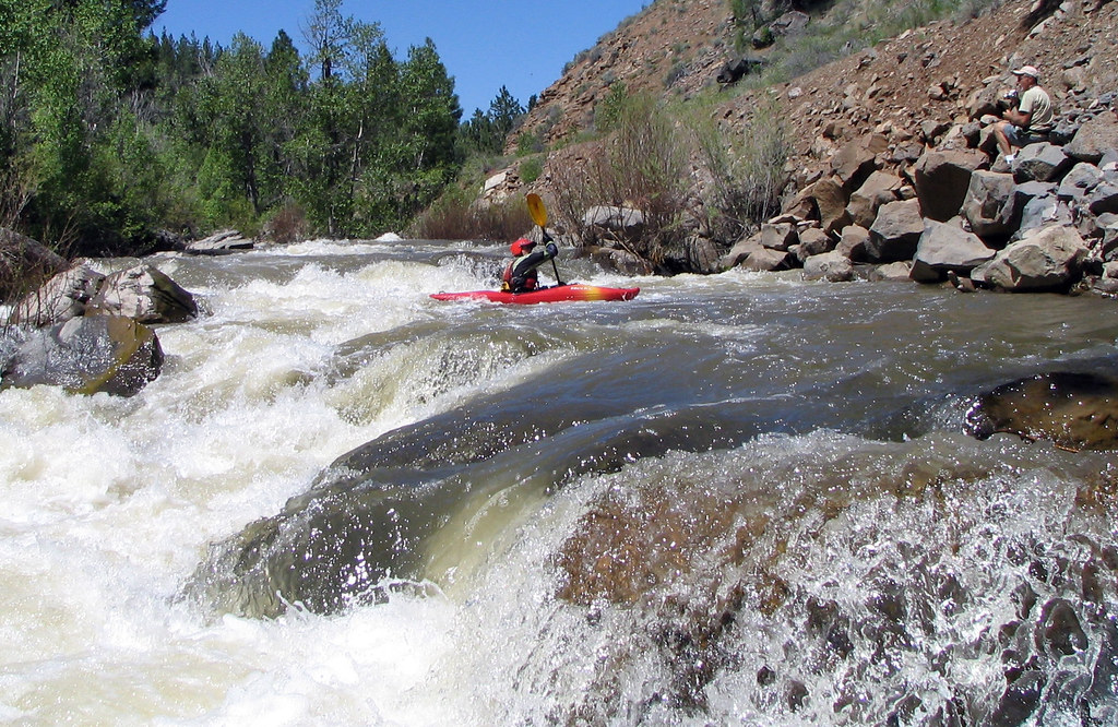
Susan River
- Boat Ramps
- 1
- Access Points
- 5
- Campsites
- 6
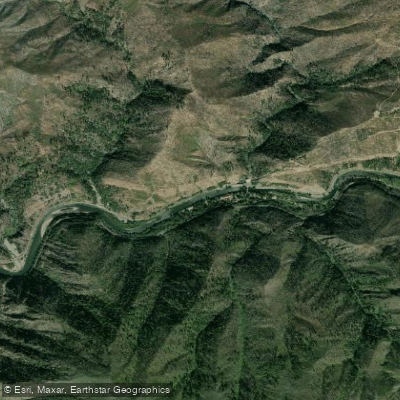
The Susan River is a scenic waterway in northeastern California, originating in the eastern slopes of Lassen National Forest. It flows generally eastward through Lassen County, passing through the city of Susanville before eventually emptying into Honey Lake. The river's total length is approximately 40 miles, draining a watershed of about 850 square miles.
Paddling opportunities on the Susan River are diverse, offering experiences for a range of skill levels. The river is divided into three main sections: Upper, Devil's Corral to Susanville, and Lower. The Upper section, west of Susanville, features challenging Class IV-V rapids with technical drops and tight chutes, suitable only for expert paddlers. The 6.5-mile Devil's Corral to Susanville run is the most popular, offering Class III-IV whitewater ideal for intermediate to advanced paddlers. The Lower section provides a more relaxed Class II experience, perfect for beginners and families. The river's difficulty ranges from Class II to V, requiring varying levels of skill and experience. Paddlers should always assess their abilities and choose appropriate sections.
Spring snowmelt typically provides the best paddling conditions, usually from late March through May. However, water levels can fluctuate rapidly, so checking current flow rates is crucial before any trip.
The Susan River corridor supports diverse riparian ecosystems, home to various fish species, including rainbow and brown trout. The surrounding landscape features a mix of coniferous forests and high desert vegetation. Key landmarks include Devil's Corral, a scenic gorge where Highway 36 crosses the river, and the historic Bizz Johnson Trail, which parallels much of the river's course. The trail offers excellent opportunities for bike shuttles between put-ins and take-outs.
Primary access points include Devil's Corral trailhead for the upper sections and Hobo Camp picnic area in Susanville for the lower sections. Susanville serves as the main nearby city, offering amenities and services for paddlers.
Historically, the Susan River played a crucial role in the development of Lassen County, supporting early logging and milling operations. Today, it's an important recreational resource for the region.
Safety considerations include rapid water level changes, cold water temperatures, and remote sections with limited access. Paddlers should always wear appropriate safety gear and be prepared for self-rescue situations. While multi-day trips are not common due to the river's length, the surrounding area offers camping opportunities for those wishing to extend their visit and explore multiple sections of this dynamic California waterway.
Water access, boat ramps & amenities
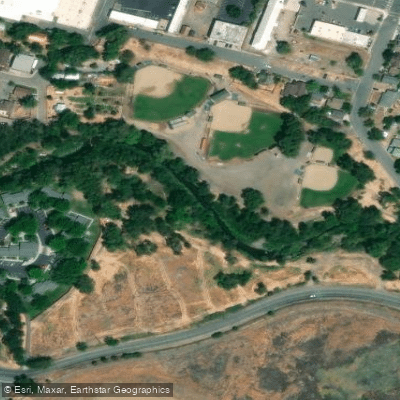
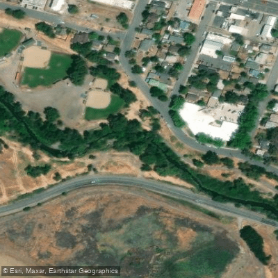
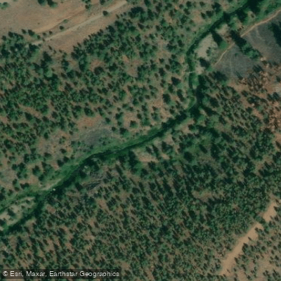
Learn how to get on Susan River. Uncover great paddling access points, boat ramps, and all the facilities you need for an unforgettable day on the water. Some locations shown may border or include private property. Always check property boundaries and applicable regulations before visiting. PaddleWays's Public & Private Land layer can help you plan your access with confidence.
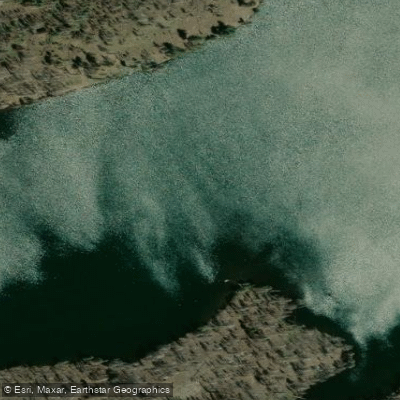
Paddle smarter with real-time insights
Whether you're en route and conditions shift or you're looking for the best spot based on current flows, we enable you to make informed decisions on the fly.








Find Places to Paddle

Over 400,000 Places to Paddle
Every user gets free access to launch points, boat ramps, and public property parcels.


Water and weather conditions (10 day forecast)
See the best times to paddle Susan River and check the forecast before you go.
WILLOW CREEK NEAR STANDISH
All Flow Stations
Paddling near Susan River
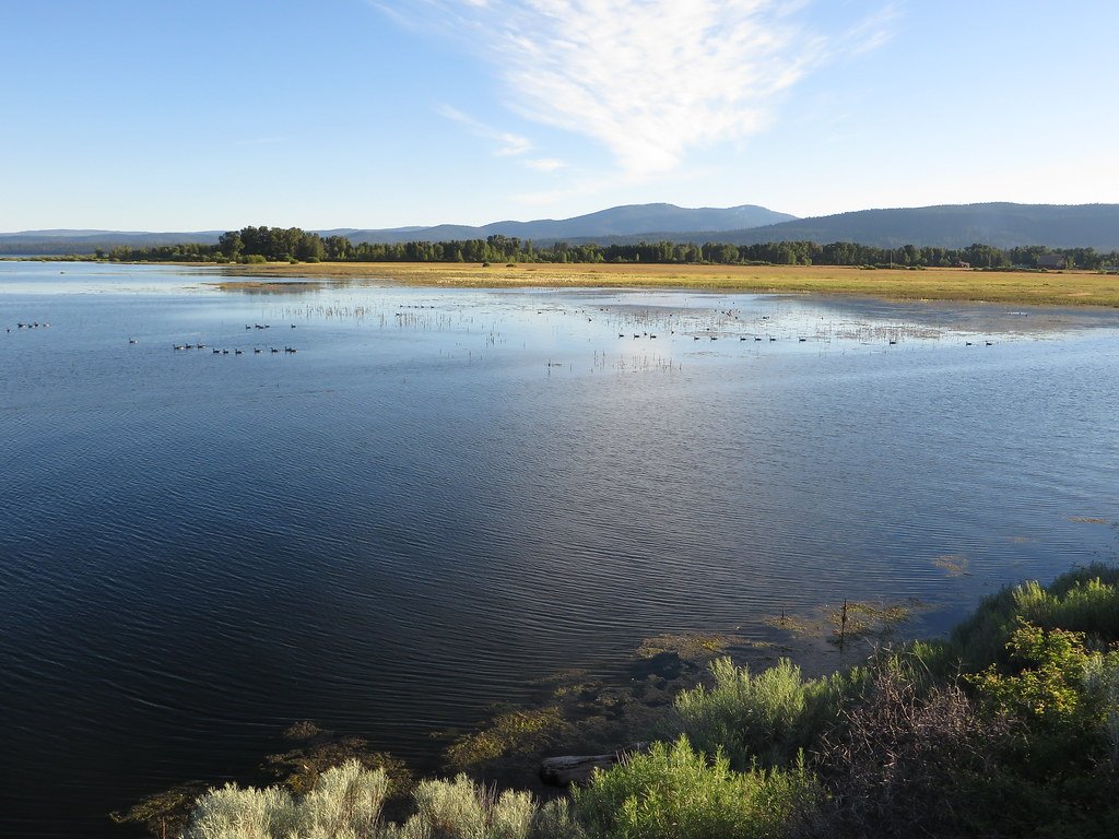
Lake Almanor
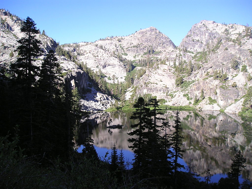
Eagle Lake
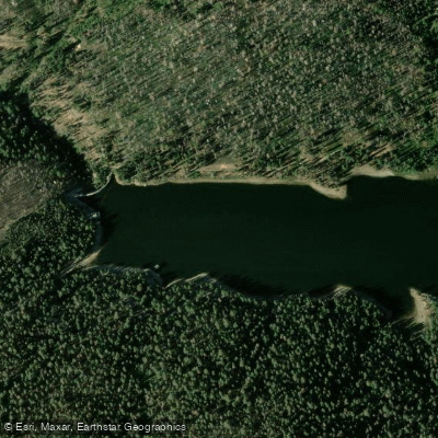
Bucks Creek

Sacramento River
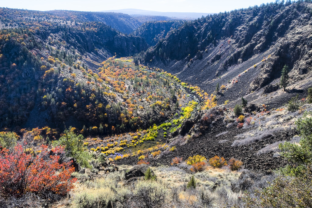
Pit River
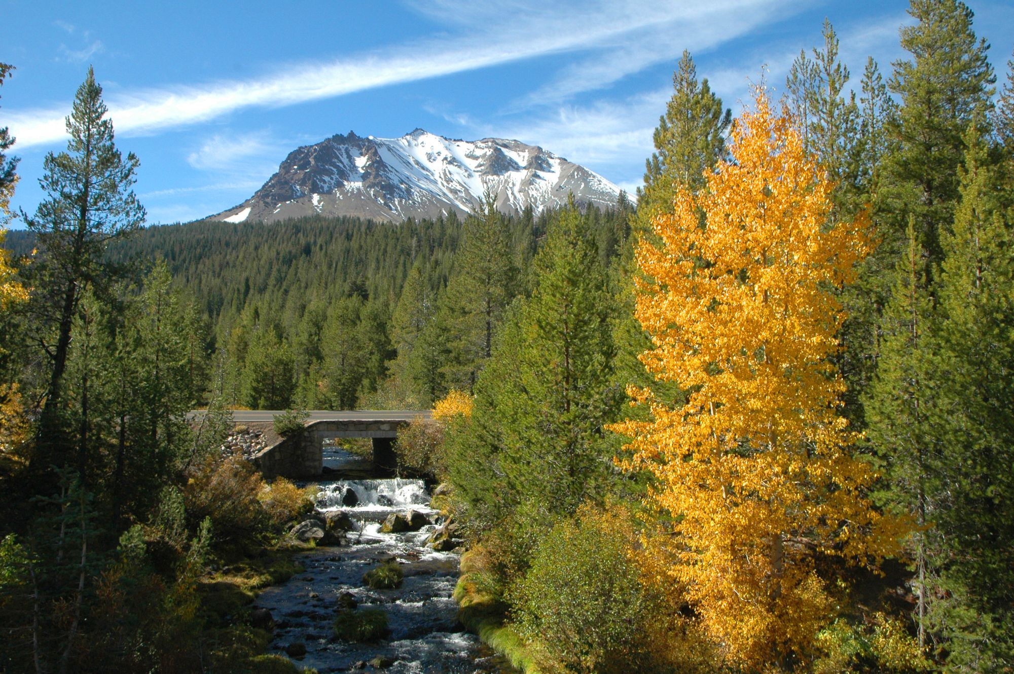
Hat Creek
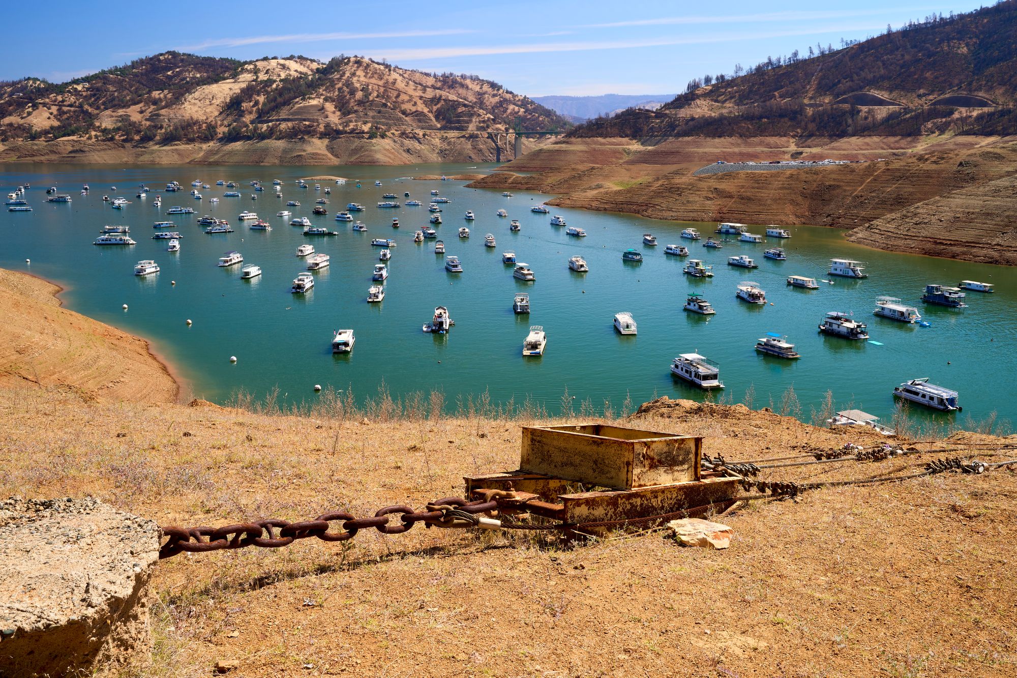
Lake Oroville
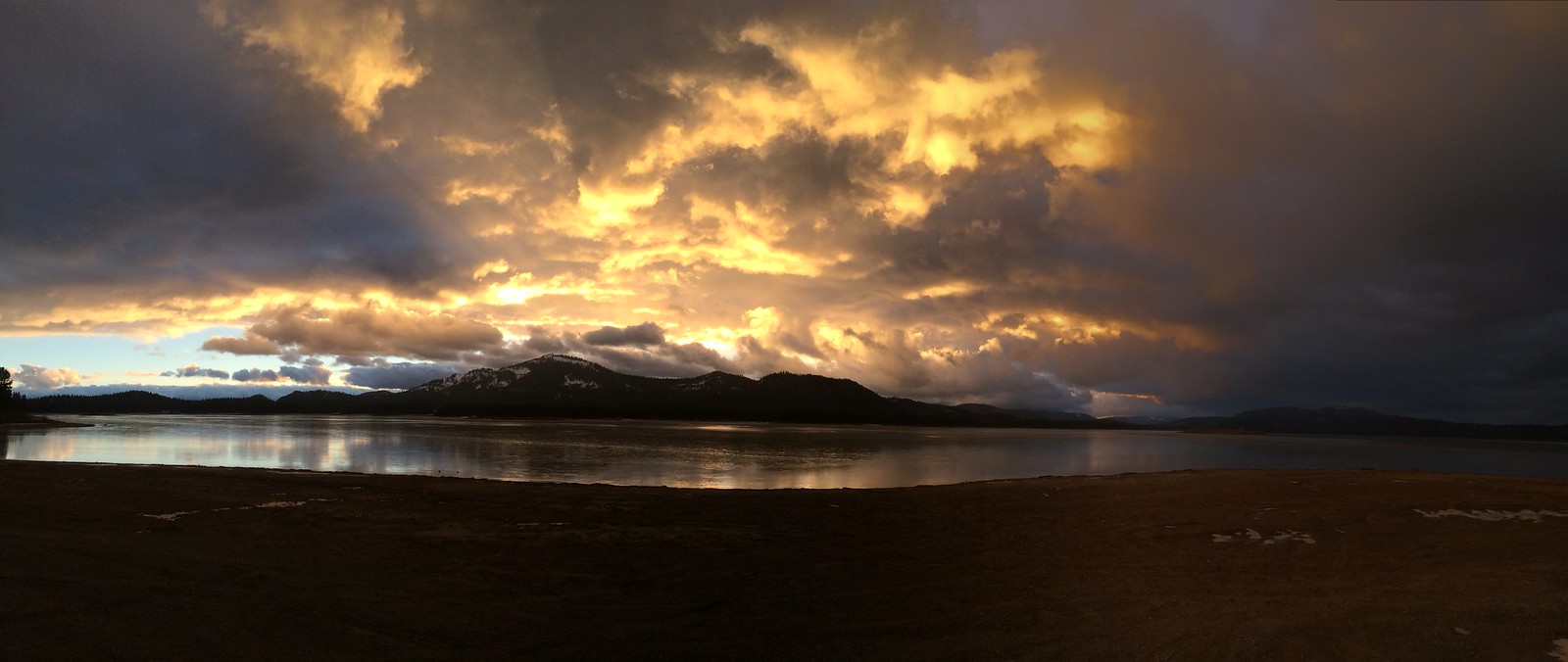
Lake Davis
North Fork Feather River
Explore California waters
Top paddling waters
Popular Cities
Loading popular cities...
Explore near Susan River
Access points
Nearby waters
More in California

Smarter Paddling Starts in the App.
Paddleways gives you everything you need to plan smarter, paddle better, and own every trip from first launch to takeout.