Hat Creek
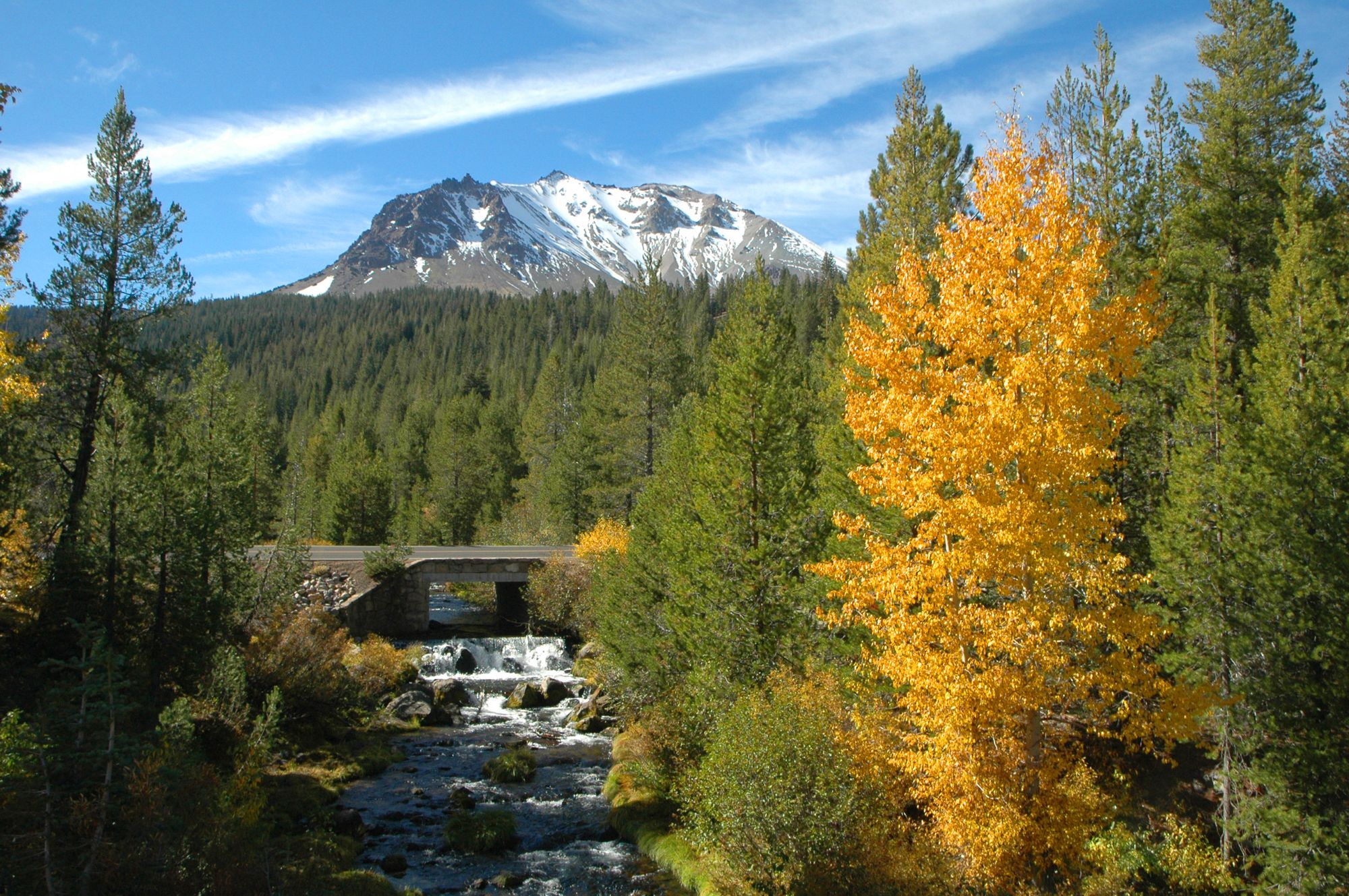
Hat Creek
- Boat Ramps
- 0
- Access Points
- 2
- Campsites
- 18
Hat Creek is a spring-fed stream in northeastern California, originating near the town of Old Station and flowing northward for approximately 50 miles before emptying into Lake Britton. This cold, clear waterway is renowned for its exceptional trout fishing and serene paddling opportunities. The creek's journey begins in the shadows of Lassen National Forest, winding through volcanic landscapes before entering a picturesque valley. While not known for major tributaries, numerous springs contribute to its consistent flow throughout the year.
Paddling on Hat Creek offers a tranquil experience, with the most popular float being a 3-5 mile stretch near Burney. This section, known as the Hat Creek Float, provides a mellow adventure suitable for beginners and families. The flatwater nature of this run makes it ideal for canoes, kayaks, and even inner tubes.
The difficulty of Hat Creek is primarily flatwater, requiring minimal technical skills. However, paddlers should be aware of occasional submerged obstacles and be comfortable with basic river navigation. Late spring through early fall offers the best conditions for paddling, with summer evenings being particularly magical. As the sun sets, insect activity increases, creating a spectacle of rising trout and enhancing the overall experience.
The creek's ecosystem supports a diverse array of flora and fauna. Paddlers may spot osprey hunting overhead, while underwater, aquatic plants create mesmerizing displays of undulating grasses. The creek is home to wild rainbow and brook trout, making it a fly-fishing paradise.
Key landmarks include two bridges that serve as navigation points during the float. Near the end of the popular section, paddlers are treated to a stunning view of underwater vegetation, creating a natural aquarium effect.
Hat Creek Float is typically near Burney, with the take-out at Hat Creek Park. The nearby town of Burney serves as a base for supplies and accommodations.
Historically, Hat Creek has been significant to local Native American tribes and played a role in the region's fishing and recreational development. Today, it's managed as a Wild Trout Water, emphasizing conservation and sustainable angling practices.
Safety considerations include being prepared for sudden weather changes, as the area can experience rapid shifts in conditions. Paddlers should also be mindful of fishing activity and respect anglers' space.
While multi-day trips are not common on Hat Creek itself, the surrounding area offers opportunities to combine paddling with visits to nearby attractions like Lassen Volcanic National Park, creating a rich outdoor adventure in this corner of California.
Water access, boat ramps & amenities
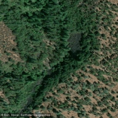
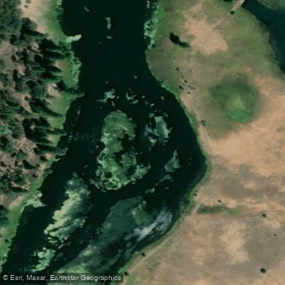
Learn how to get on Hat Creek. Uncover great paddling access points, boat ramps, and all the facilities you need for an unforgettable day on the water. Some locations shown may border or include private property. Always check property boundaries and applicable regulations before visiting. PaddleWays's Public & Private Land layer can help you plan your access with confidence.
Paddle smarter with real-time insights
Whether you're en route and conditions shift or you're looking for the best spot based on current flows, we enable you to make informed decisions on the fly.








Find Places to Paddle

Over 400,000 Places to Paddle
Every user gets free access to launch points, boat ramps, and public property parcels.


Water and weather conditions (10 day forecast)
See the best times to paddle Hat Creek and check the forecast before you go.
HAT C NR HAT CREEK CA
All Flow Stations
Paddling near Hat Creek
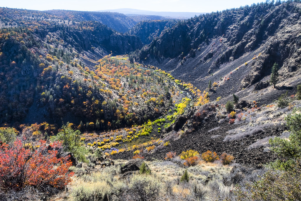
Pit River
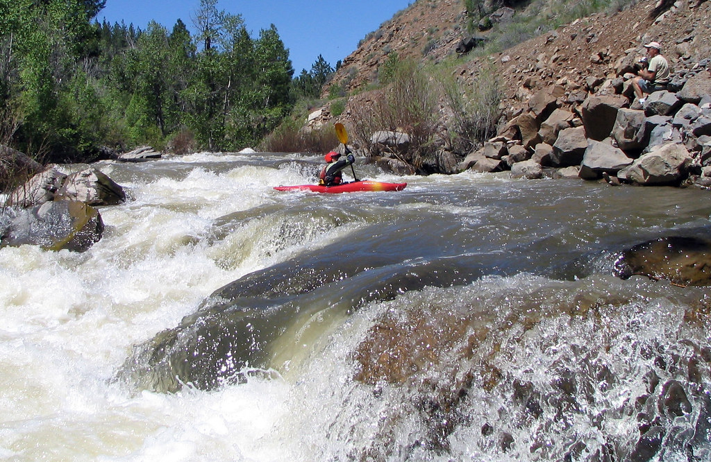
Susan River
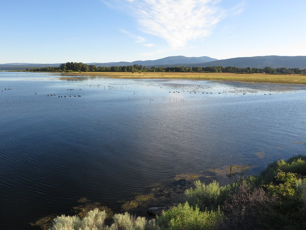
Lake Almanor

Sacramento River
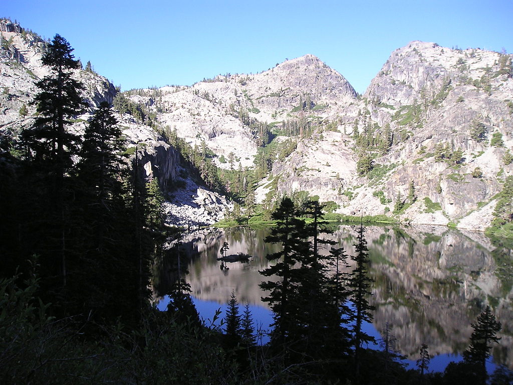
Eagle Lake
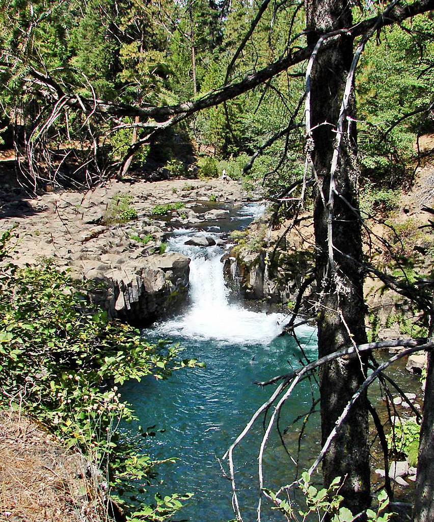
McCloud River
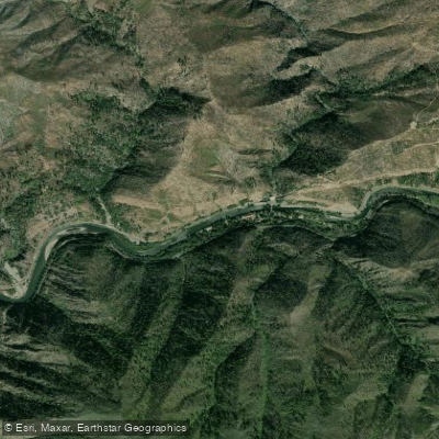
North Fork Feather River
North Fork Battle Creek
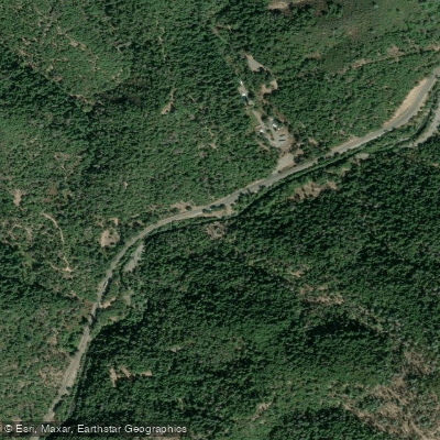
Little Cow Creek
Explore California waters
Top paddling waters
Popular Cities
Loading popular cities...
Explore near Hat Creek
Access points
Nearby waters
More in California

Smarter Paddling Starts in the App.
Paddleways gives you everything you need to plan smarter, paddle better, and own every trip from first launch to takeout.