Lake Almanor
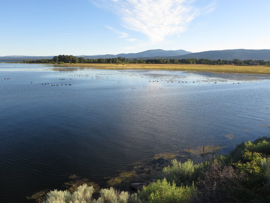
Lake Almanor
- Boat Ramps
- 11
- Access Points
- 11
- Campsites
- 3
Lake Almanor is a large man-made reservoir in Plumas County, northeastern California, offering excellent paddling opportunities. With over 50 miles of shoreline and a maximum depth of 90 feet, it provides ample space for exploration. The lake is formed by Canyon Dam on the North Fork of the Feather River, along with other creeks and natural springs.
Paddlers can access the lake from numerous boat launch points around the shoreline. Popular areas include the East Shore, West Shore, and Peninsula. The lake's expansive size may be intimidating at first, but paddlers can explore sections at a time. Water temperatures reach around 70 degrees Fahrenheit in summer, making it comfortable for water activities.
The lake offers breathtaking views, including snow-capped Lassen Peak visible in the distance. Pine-scented air adds to the sensory experience. Wildlife and natural features abound, enhancing the paddling experience.
Several marinas and resorts around the lake offer kayak and stand-up paddleboard rentals, including single and tandem kayaks. Some provide hourly, half-day, full-day, and weekly rental options. Delivery services to various points around the lake are available from some rental companies.
Lake Almanor is a hub for various recreational activities beyond paddling, including camping, hiking, and swimming. The presence of other watercraft, such as motorboats and jet skis, means paddlers should remain alert to boat traffic.
The lake's shape and size allow for both shoreline exploration and open water paddling. The best times for paddling are likely early morning or evening when winds are calmer, providing a more serene experience on the water.
Facilities for paddlers include campgrounds, resorts, and marinas around the lake. Always check current conditions and regulations before paddling, as this information can change.
Water access, boat ramps & amenities
Learn how to get on Lake Almanor. Uncover great paddling access points, boat ramps, and all the facilities you need for an unforgettable day on the water. Some locations shown may border or include private property. Always check property boundaries and applicable regulations before visiting. PaddleWays's Public & Private Land layer can help you plan your access with confidence.
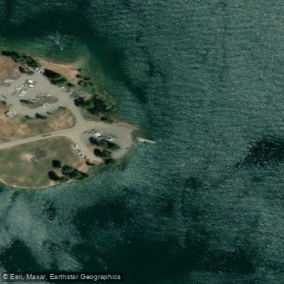
Canyon Dam Boat Ramp
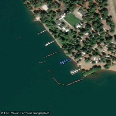
Vagabond Resort Boat Ramp
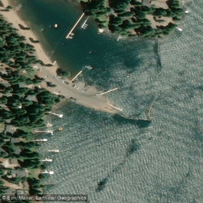
Lake Almanor Country Club Recreation Area 1 Boat Ramp
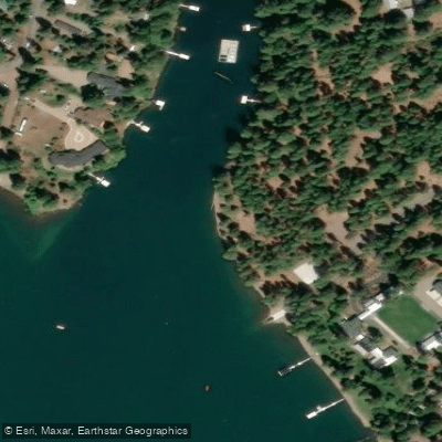
Lassen View Resort Inc Boat Ramp
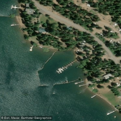
Lake Cove Resort & Marina Boat Ramp
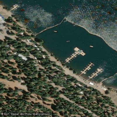
Plumas Pines Resort Boat Ramp
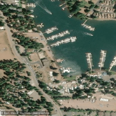
Little Norway Resort Boat Ramp
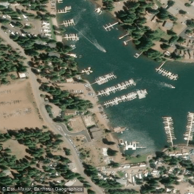
Knotty Pine Resort & Marina Boat Ramp
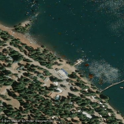
Lake Almanor Boat Ramp
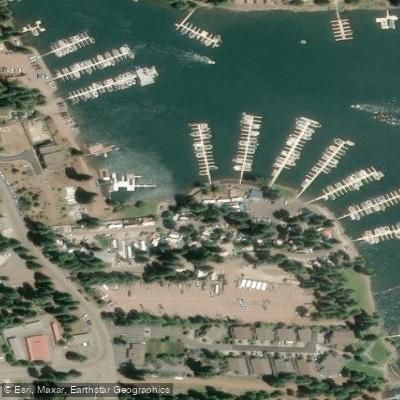
Big Cove Resort Boat Ramp
Paddle smarter with real-time insights
Whether you're en route and conditions shift or you're looking for the best spot based on current flows, we enable you to make informed decisions on the fly.








Find Places to Paddle

Over 400,000 Places to Paddle
Every user gets free access to launch points, boat ramps, and public property parcels.


Water and weather conditions (10 day forecast)
See the best times to paddle Lake Almanor and check the forecast before you go.
No forecast data available.
Paddling near Lake Almanor
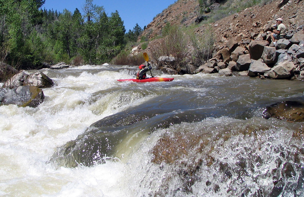
Susan River
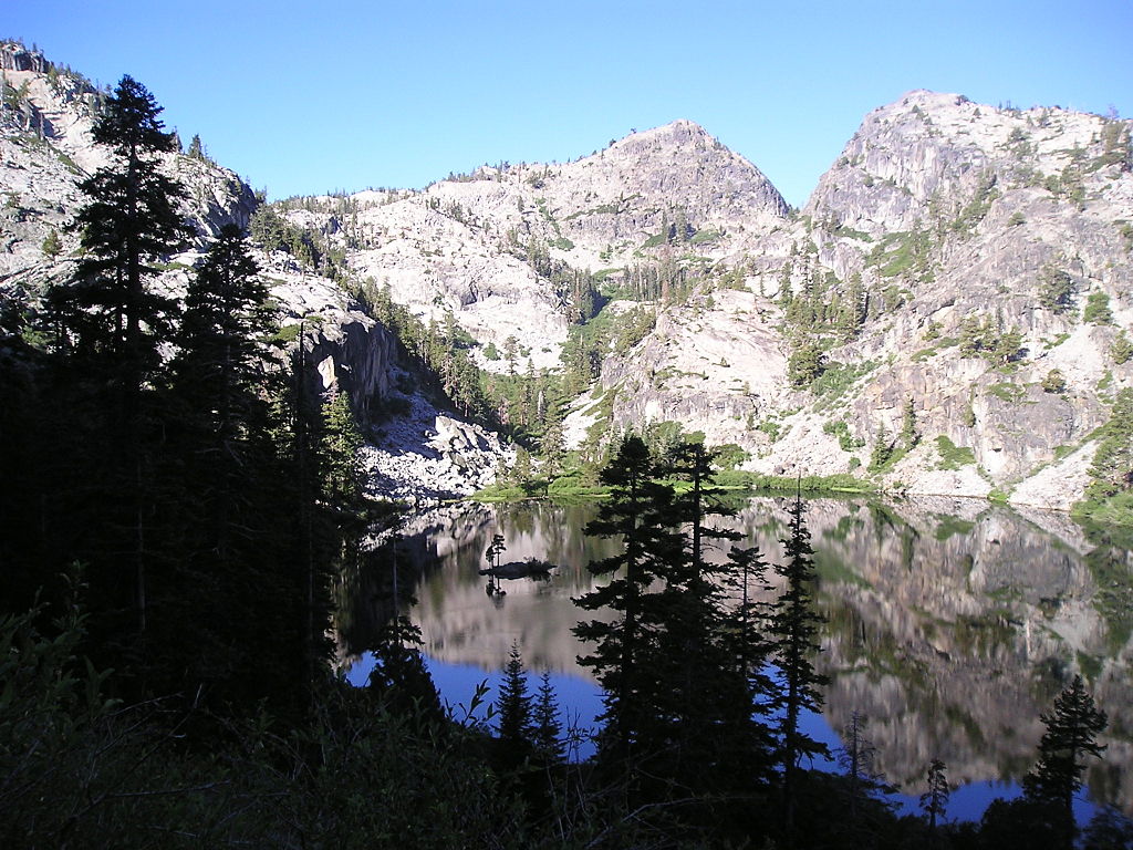
Eagle Lake
Bucks Creek

Sacramento River
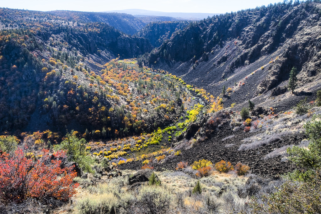
Pit River
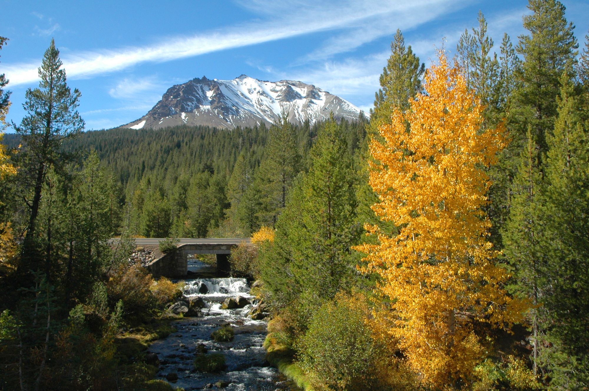
Hat Creek
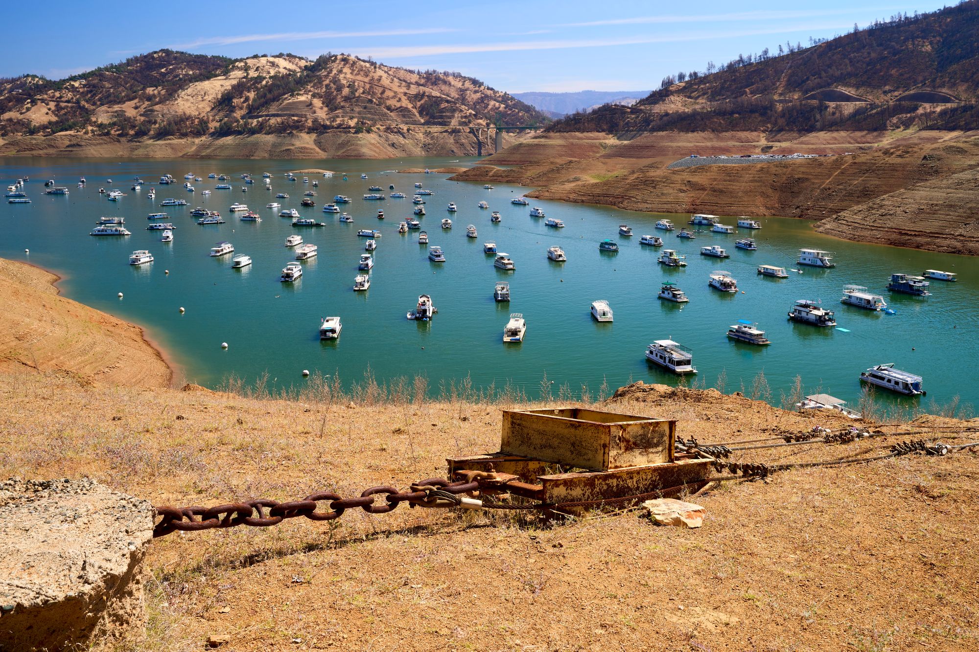
Lake Oroville
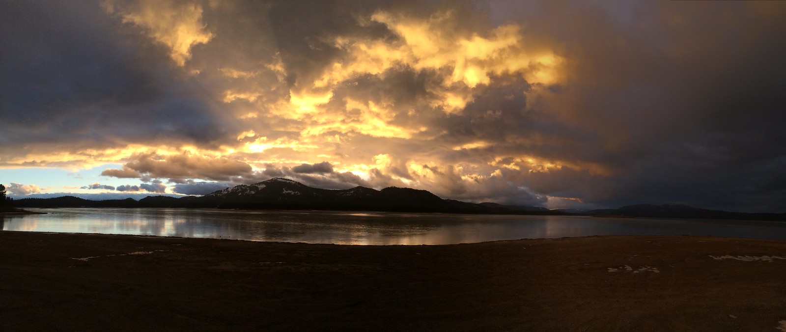
Lake Davis
North Fork Feather River
Explore California waters
Top paddling waters
Popular Cities
Loading popular cities...
Explore near Lake Almanor
Access points
- Canyon Dam Boat Ramp
- Vagabond Resort Boat Ramp
- Lake Almanor Country Club Recreation Area 1 Boat Ramp
- Lassen View Resort Inc Boat Ramp
- Lake Cove Resort & Marina Boat Ramp
- Plumas Pines Resort Boat Ramp
- Little Norway Resort Boat Ramp
- Knotty Pine Resort & Marina Boat Ramp
- Lake Almanor Boat Ramp
- Big Cove Resort Boat Ramp
- Northshore Campground Boat Ramp
- Hamilton Branch Creek Bridge
- All 22 spots
Nearby waters
More in California

Smarter Paddling Starts in the App.
Paddleways gives you everything you need to plan smarter, paddle better, and own every trip from first launch to takeout.