Salton Sea
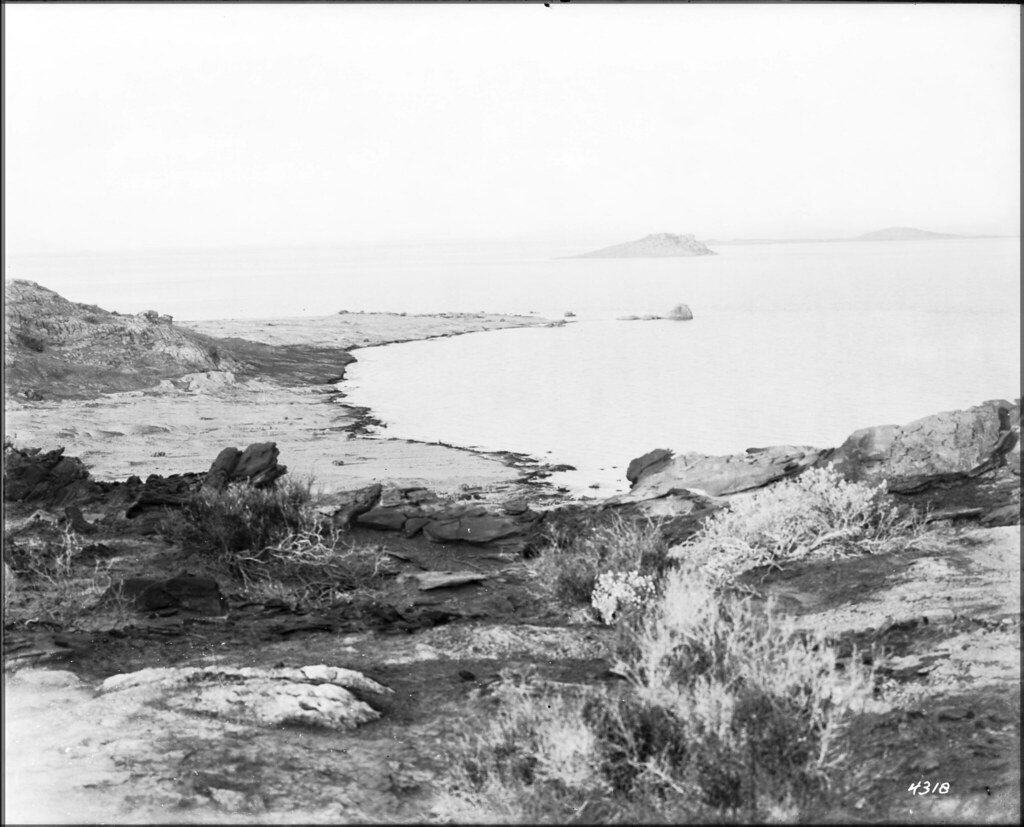
Salton Sea
- Boat Ramps
- 8
- Access Points
- 8
- Campsites
- 10
The Salton Sea in southeastern California offers a unique paddling experience on the state's largest lake. Covering 376 square miles, this saline lake sits 227 feet below sea level in a desert basin. Its maximum depth is 51 feet.
A 14-mile kayak trail extends along the shoreline from Varner Harbor to Bombay Beach Campground. Two kayak camps at Salt Creek and Bombay Beach provide racks, picnic tables, restrooms and showers. The Salton Sea State Recreation Area offers camping and launch sites.
The lake's high salinity (44 g/L, compared to 35 g/L in the ocean) increases buoyancy, potentially allowing for faster paddling. Water temperatures range from 56-61°F in winter to high 80s in summer. Visibility is typically 2-5 feet.
Wind conditions are generally calm in mornings, with afternoon winds creating bumps and runs. Evenings often bring glassy conditions. The surrounding mountains and desert landscape provide scenic vistas.
Wildlife viewing is a highlight, with 425 bird species using the lake as a critical migration stopover. Fish die-offs can occur during algal blooms every few years, resulting in fish bones along some shorelines.
Water quality is affected by agricultural runoff and high salinity, but is considered safe for recreation. Some areas may have unpleasant odors due to algae. The lake is receding due to reduced inflows, exposing mudflats in some areas.
Paddlers should be prepared for potentially muddy launch sites, intense sun, and lack of freshwater sources. The lake's unique ecology and status as an accidental, man-made sea add to its intrigue as a paddling destination.
Water access, boat ramps & amenities
Learn how to get on Salton Sea. Uncover great paddling access points, boat ramps, and all the facilities you need for an unforgettable day on the water. Some locations shown may border or include private property. Always check property boundaries and applicable regulations before visiting. PaddleWays's Public & Private Land layer can help you plan your access with confidence.
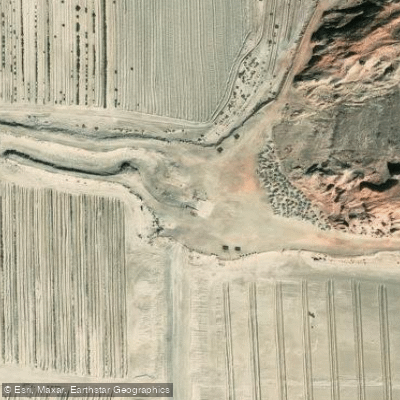
Red Hill Marina Boat Ramp
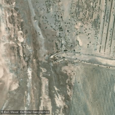
Red Hill Marina Boat Ramp
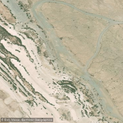
Salton Sea Boat Ramp
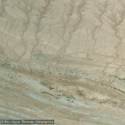
Bombay Beach Boat Ramp
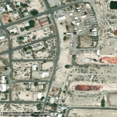
Desert Shores Trailer Park & Marina Boat Ramp
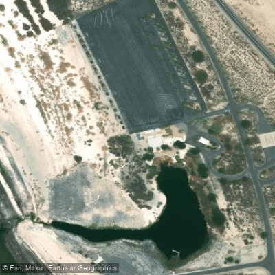
Salton Sea State Recreation Area Boat Ramp
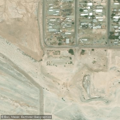
Bombay Beach Marina Boat Ramp
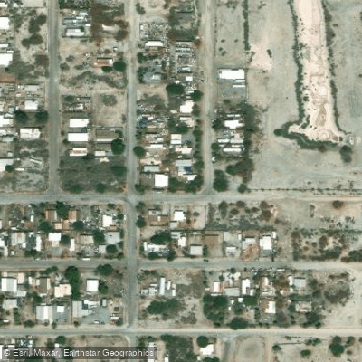
Salton Sea Beach Marina Boat Ramp
Paddle smarter with real-time insights
Whether you're en route and conditions shift or you're looking for the best spot based on current flows, we enable you to make informed decisions on the fly.








Find Places to Paddle

Over 400,000 Places to Paddle
Every user gets free access to launch points, boat ramps, and public property parcels.


Water and weather conditions (10 day forecast)
See the best times to paddle Salton Sea and check the forecast before you go.
ALAMO R NR NILAND CA

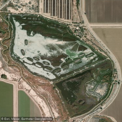
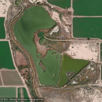
Explore California waters
Top paddling waters
Popular Cities
Loading popular cities...
Explore near Salton Sea
Access points
- Red Hill Marina Boat Ramp
- Red Hill Marina Boat Ramp
- Salton Sea Boat Ramp
- Bombay Beach Boat Ramp
- Desert Shores Trailer Park & Marina Boat Ramp
- Salton Sea State Recreation Area Boat Ramp
- Bombay Beach Marina Boat Ramp
- Salton Sea Beach Marina Boat Ramp
- Salt Creek Bridge
- Farinosa Ditch Bridge
- Travertine Ditch Bridge
- Alamo River Bridge
- All 57 spots
Nearby waters
More in California

Smarter Paddling Starts in the App.
Paddleways gives you everything you need to plan smarter, paddle better, and own every trip from first launch to takeout.