Cimarron River
Cimarron River
- Boat Ramps
- 2
- Access Points
- 2
- Campsites
- 5
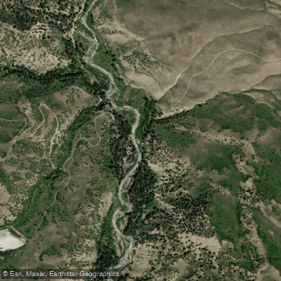
The Cimarron River originates in the Uncompahgre National Forest of southwestern Colorado, where its East Fork and Middle Fork converge to form the main stem. Flowing northward for approximately 22 miles through Gunnison and Montrose Counties, the river carves through dramatic canyon terrain before joining the Gunnison River near the town of Cimarron. The upper reaches flow through the Silver Jack Reservoir, while the lower sections traverse increasingly rugged topography as the river descends toward its confluence.
Whitewater paddling on the Cimarron River presents extreme challenges suitable only for expert kayakers. The final one-mile section between Cimarron and the Gunnison River confluence is rated Class V, featuring intense, powerful rapids that demand precise boat handling and advanced technical skills. This stretch is considered borderline dangerous, with American Whitewater rating another section from Big Cimarron Campground to Cimarron Road bridge as Class V+, spanning 10.2 miles. These classifications indicate long, obstructed, and violent rapids that only the most experienced paddlers should attempt. The river is not recommended for commercial rafting operations due to its technical difficulty and hazardous nature.
The paddling season typically runs from May through July, coinciding with snowmelt from the San Juan Mountains that feeds the river system entirely. Peak flows occur during spring runoff, creating powerful hydraulics that amplify the river's already formidable character. Water levels can fluctuate dramatically, and the narrow canyon sections offer limited options for scouting or portaging.
Anglers find excellent trout fishing opportunities throughout the drainage, with cutthroat, rainbow, tiger, and brook trout inhabiting the cold, clear waters. The upper sections near Silver Jack Reservoir and within the Uncompahgre Wilderness Areas provide particularly productive fishing access. The West Fork Cimarron River also offers quality angling experiences.
The river corridor features dense spruce, pine, and aspen forests on lower slopes, transitioning to alpine tundra and bare rock at higher elevations. Mule deer, Rocky Mountain elk, and various waterfowl inhabit the drainage, while the surrounding wilderness areas protect significant wildlife habitat.
Access to the river is available from Highway 50 near Cimarron, with the town serving as the primary gateway. Additional access exists along forest roads leading to Silver Jack Reservoir and various campgrounds including Big Cimarron Campground. The river flows through the Curecanti National Recreation Area near its confluence with the Gunnison.
The Cimarron drainage holds historical mining significance, with numerous prospect sites and mineral deposits documented throughout the watershed. The area's rugged character and remote wilderness sections have preserved much of its natural state, though evidence of past mining activity remains visible in certain tributaries.
Water access, boat ramps & amenities
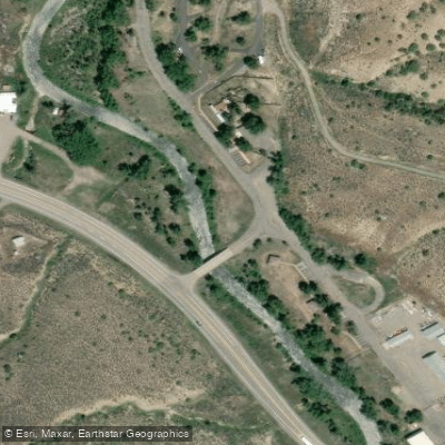
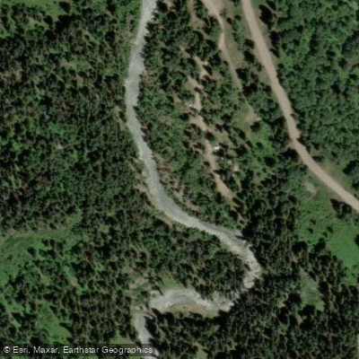
Learn how to get on Cimarron River. Uncover great paddling access points, boat ramps, and all the facilities you need for an unforgettable day on the water. Some locations shown may border or include private property. Always check property boundaries and applicable regulations before visiting. PaddleWays's Public & Private Land layer can help you plan your access with confidence.
Paddle smarter with real-time insights
Whether you're en route and conditions shift or you're looking for the best spot based on current flows, we enable you to make informed decisions on the fly.








Find Places to Paddle

Over 400,000 Places to Paddle
Every user gets free access to launch points, boat ramps, and public property parcels.


Water and weather conditions (10 day forecast)
See the best times to paddle Cimarron River and check the forecast before you go.
CIMARRON RIVER BLW CIMARRON CREEK AT CIMARRON, CO
All Flow Stations
Paddling near Cimarron River
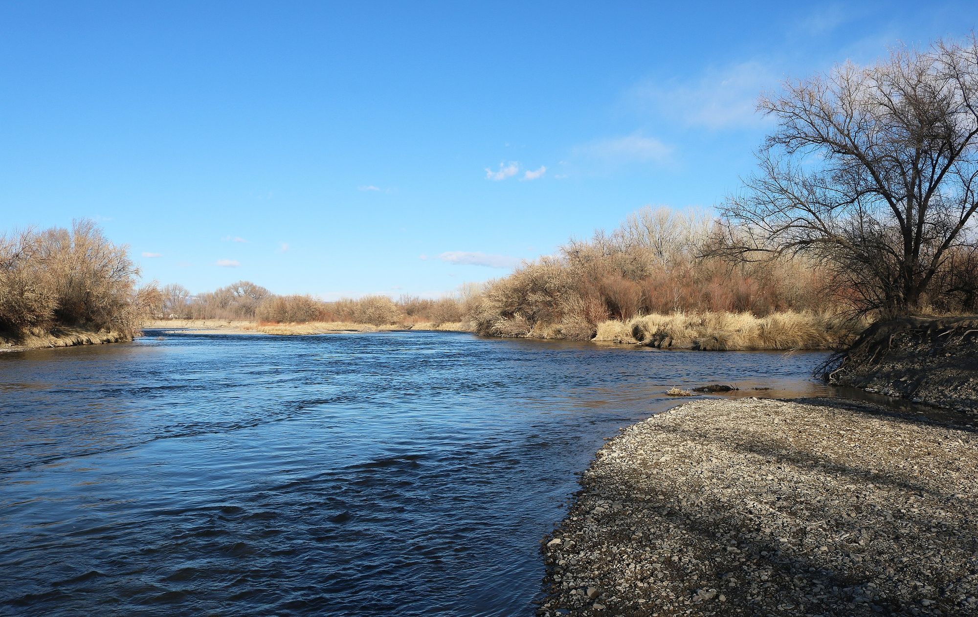
Uncompahgre River
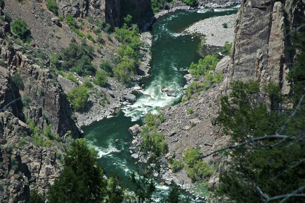
Gunnison River
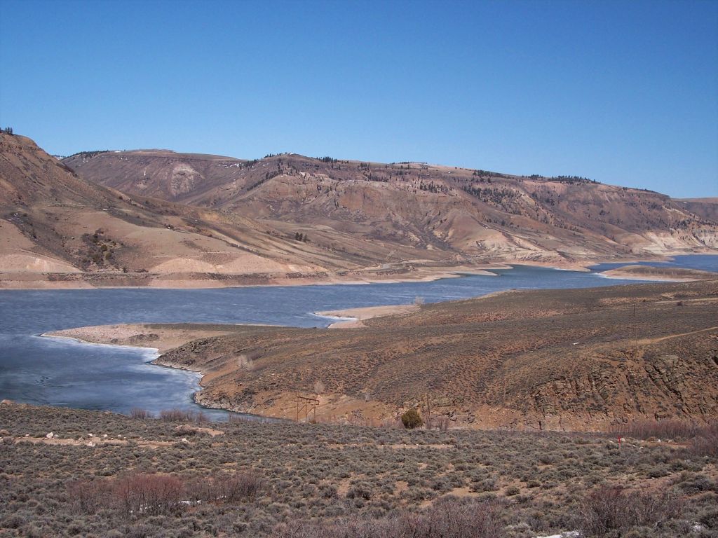
Blue Mesa Reservoir
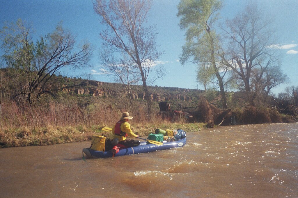
San Miguel River
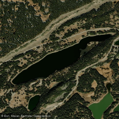
Island Lake
Lake Fork
Animas River

Rio Grande
Dolores River
Henson Creek
Explore Colorado waters
Top paddling waters
Popular Cities
Loading popular cities...
Explore near Cimarron River
Access points
Nearby waters
More in Colorado

Smarter Paddling Starts in the App.
Paddleways gives you everything you need to plan smarter, paddle better, and own every trip from first launch to takeout.