Crystal River
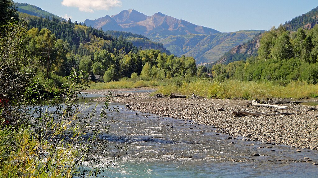
Crystal River
- Boat Ramps
- 12
- Access Points
- 26
- Campsites
- 17
The Crystal River originates high in Colorado's Elk Mountains, where the North Fork and South Fork Crystal Rivers converge near Schofield Pass at an elevation of 9,000 feet. From this alpine headwaters, the Crystal flows north for 40 miles through a spectacular glacial valley before joining the Roaring Fork River near Carbondale.
The Crystal offers paddlers a progression of whitewater challenges, from extreme Class V+ rapids in its upper reaches to more moderate Class III-IV runs downstream. The uppermost section, known as the Punchbowls, drops an incredible 600 feet per mile through a series of waterfalls and steep cascades. This 0.25-mile stretch sees only a handful of expert kayak descents each season when conditions align.
Below the Punchbowls, the Crystal Mill Falls section provides 2.8 miles of continuous Class III-IV whitewater past the historic Crystal Mill. The river then enters Bogan Canyon, where 4.7 miles of technical Class III-IV rapids await. Downstream, the infamous Meatgrinder rapid marks the entrance to the Crystal River Narrows, a short but intense Class IV-V gorge run. For less advanced paddlers, the 4.8-mile stretch from Avalanche Creek to BRB Campground offers scenic Class III whitewater suitable for rafts and kayaks. Below here, the river mellows as it approaches Carbondale, though Class II-III rapids can still be found.
The Crystal's paddling season typically runs from May through July, depending on snowmelt. Flows of 400-800 cfs are ideal for most sections. The river corridor supports diverse riparian ecosystems, with chances to spot wildlife like bighorn sheep, deer, and eagles.
Key access points include put-ins near Schofield Pass, Crystal, Marble, and Redstone. Take-outs are available at Penny Hot Springs, Avalanche Creek, and BRB Campground. Paddlers should be aware of wood hazards, especially in Bogan Canyon's Hawk Creek rapid.
The Crystal River Valley has a rich mining history, evidenced by ghost towns and structures like the Crystal Mill. Today, the river's wild character and world-class whitewater make it a cherished resource. Efforts are ongoing to protect the Crystal through Wild and Scenic designation.
Water access, boat ramps & amenities
Learn how to get on Crystal River. Uncover great paddling access points, boat ramps, and all the facilities you need for an unforgettable day on the water. Some locations shown may border or include private property. Always check property boundaries and applicable regulations before visiting. PaddleWays's Public & Private Land layer can help you plan your access with confidence.
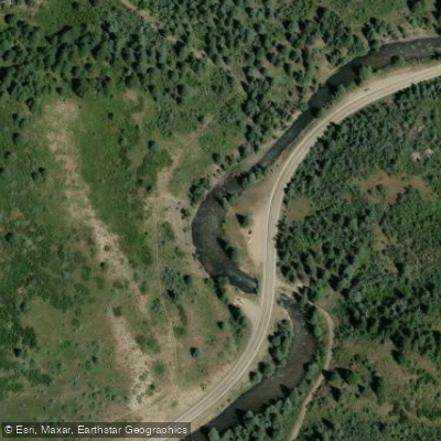
Upper Culverts Access
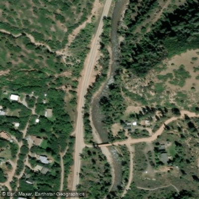
Avalanche Creek Access
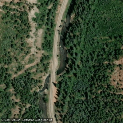
Lower Culverts Access
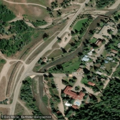
Redstone Area Access
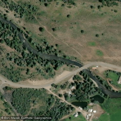
Highway 3 Bridge Access
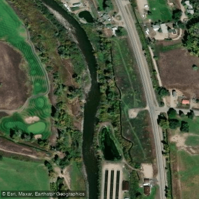
Town of Carbondale Access
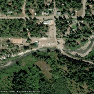
Marble Mill Site Access
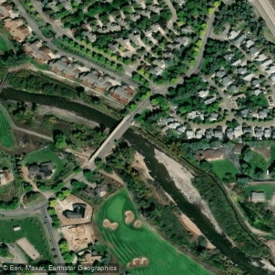
Town of Carbondale Access
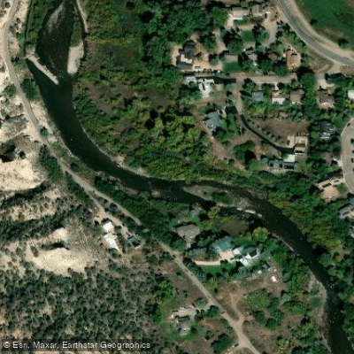
Town of Carbondale Access
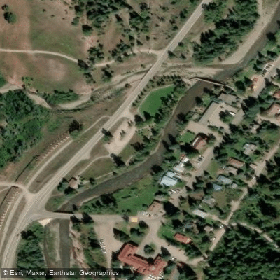
Redstone Park Access
Paddle smarter with real-time insights
Whether you're en route and conditions shift or you're looking for the best spot based on current flows, we enable you to make informed decisions on the fly.








Find Places to Paddle

Over 400,000 Places to Paddle
Every user gets free access to launch points, boat ramps, and public property parcels.


Water and weather conditions (10 day forecast)
See the best times to paddle Crystal River and check the forecast before you go.
CRYSTAL RIVER ABV AVALANCHE CRK, NEAR REDSTONE, CO
All Flow Stations
Paddling near Crystal River
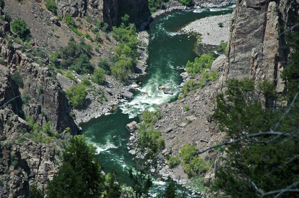
Gunnison River
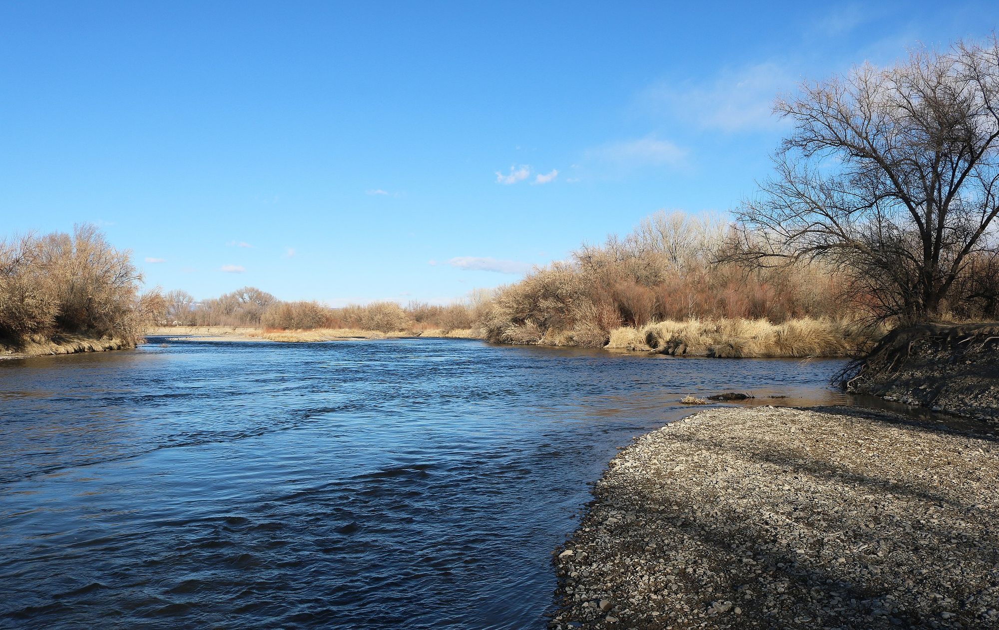
Uncompahgre River
Lake Fork
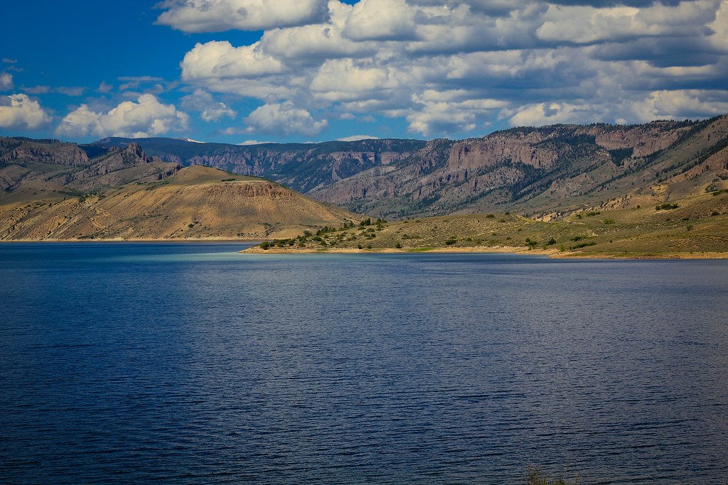
Blue Mesa Reservoir

Colorado River
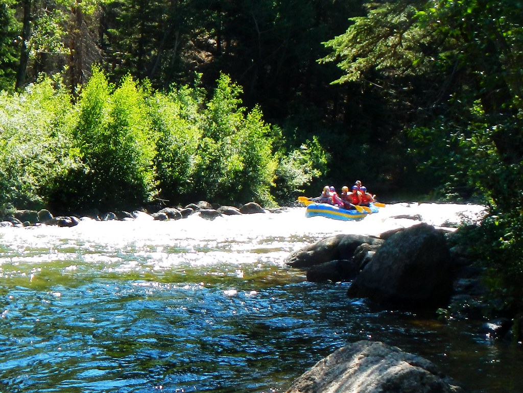
Taylor River
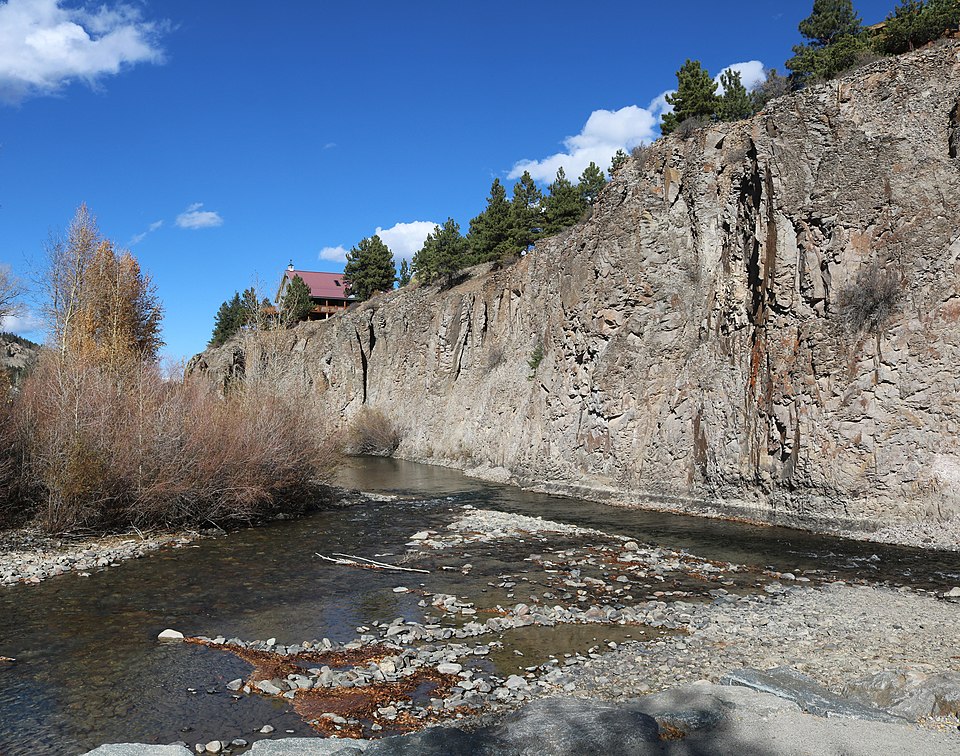
Henson Creek
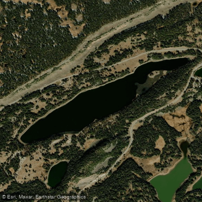
Island Lake
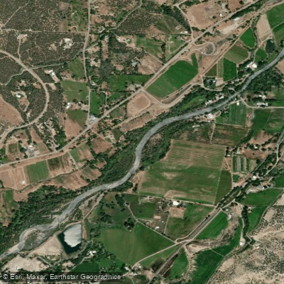
North Fork Gunnison River
Explore Colorado waters
Top paddling waters
Popular Cities
Loading popular cities...
Explore near Crystal River
Access points
- Lower Culverts Portage Boat Ramp
- Avalanche Creek Road Bridge Boat Ramp
- Upper Culverts Boat Ramp
- Highway 3 Bridge Boat Ramp
- Yule Quarry Bridge Boat Ramp
- Meadow Lane boat launch
- Lower Culverts Portage Boat Ramp
- Penny Hot Springs Hand Ramp
- Colorado Rocky Mountain School Boat Ramp
- Upper Culverts boat launch (Take Out)
- Redstone Park Boat Ramp
- Crystal Riiver KOA
- All 49 spots
Nearby waters
More in Colorado

Smarter Paddling Starts in the App.
Paddleways gives you everything you need to plan smarter, paddle better, and own every trip from first launch to takeout.