Conejos River
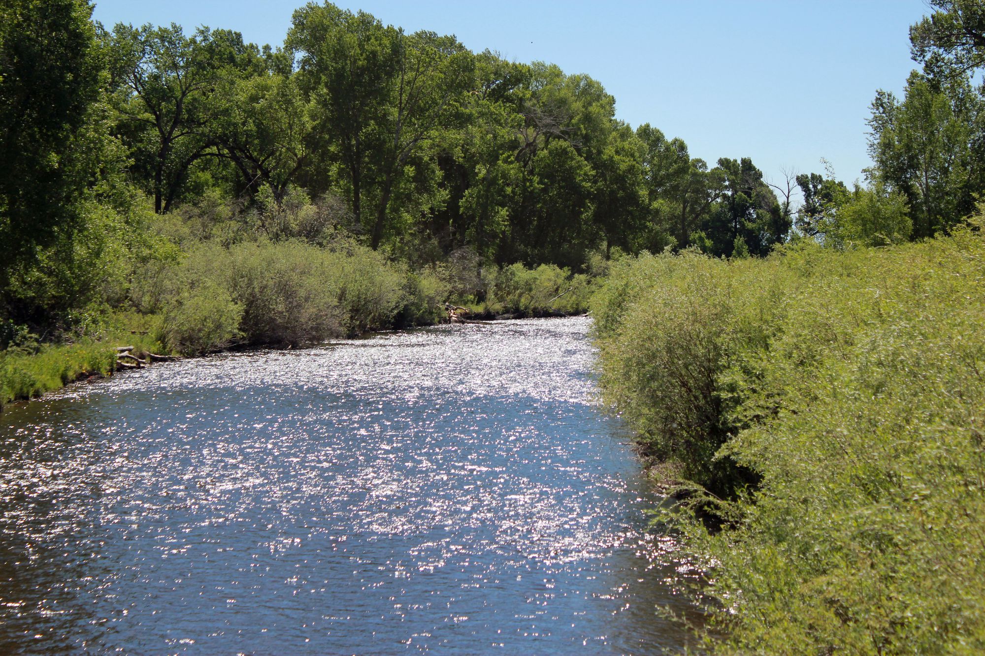
Conejos River
- Boat Ramps
- 1
- Access Points
- 3
- Campsites
- 23
The Conejos River is a scenic and challenging waterway in southern Colorado, originating in the San Juan Mountains near Platoro Reservoir and flowing northeastward for approximately 92.5 miles before joining the Rio Grande about 15 miles southeast of Alamosa. This river system drains a significant portion of the eastern San Juan Mountains and the western San Luis Valley. Paddlers can enjoy several distinct sections on the Conejos, ranging from calm floats to technical whitewater. The upper reaches from Platoro Reservoir to the South Fork confluence offer a 6.4-mile stretch of continuous Class II-IV rapids through a beautiful wilderness setting. Downstream, the Pinnacle Gorge section provides a short but intense Class III-IV run featuring the notable Pinnacle Rapid. Below Highway 17, the river mellows to Class II+ as it flows towards Mogote Campground.
The Conejos caters to intermediate and advanced paddlers, with some sections requiring solid whitewater skills and experience. Seasonal flows are influenced by snowmelt and releases from Platoro Reservoir, with the best paddling typically occurring from late May through July. The river corridor supports diverse wildlife, including trout, elk, and various bird species. Towering pines and aspens line the banks, creating a picturesque Rocky Mountain backdrop. Key landmarks include the dramatic Pinnacle Canyon, the confluence with the South Fork Conejos, and the historic town of Antonito near the lower reaches.
Primary access points include Platoro Reservoir, the South Fork trailhead (requiring a steep hike), Highway 17 crossing, and Mogote Campground. The towns of Antonito and Alamosa serve as the nearest population centers and supply hubs. The Conejos River holds cultural significance for the region's Hispanic and Native American communities, with its waters vital for agriculture in the San Luis Valley. Paddlers should be aware of and respect private property along certain stretches, particularly below Highway 17.
Safety considerations include cold water, remote sections with limited access, and potential wood hazards, especially in Pinnacle Gorge. A river-wide log jam above Pinnacle Rapid requires a portage. Multi-day trips are possible by combining upper and lower sections, with primitive camping available at designated sites along the river. The Conejos River offers a rewarding paddling experience for those seeking a less-crowded alternative to some of Colorado's more famous whitewater destinations, blending exciting rapids with stunning mountain scenery and rich cultural history.
Water access, boat ramps & amenities
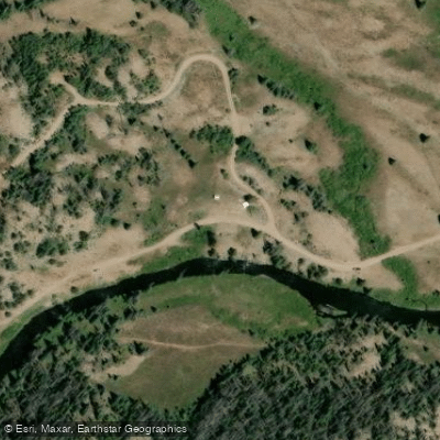
Learn how to get on Conejos River. Uncover great paddling access points, boat ramps, and all the facilities you need for an unforgettable day on the water. Some locations shown may border or include private property. Always check property boundaries and applicable regulations before visiting. PaddleWays's Public & Private Land layer can help you plan your access with confidence.
Paddle smarter with real-time insights
Whether you're en route and conditions shift or you're looking for the best spot based on current flows, we enable you to make informed decisions on the fly.








Find Places to Paddle

Over 400,000 Places to Paddle
Every user gets free access to launch points, boat ramps, and public property parcels.


Water and weather conditions (10 day forecast)
See the best times to paddle Conejos River and check the forecast before you go.
ALAMO D
All Flow Stations
Paddling near Conejos River

Rio Grande
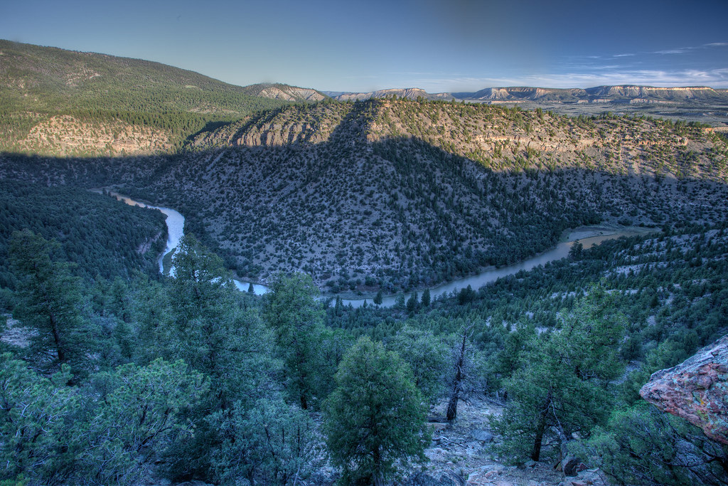
Rio Chama
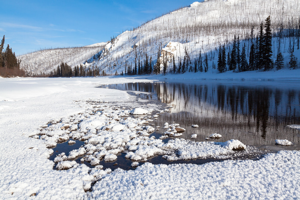
Beaver Creek
La Jara Creek
Rio San Antonio
Grape Creek
South Fork Rock Creek
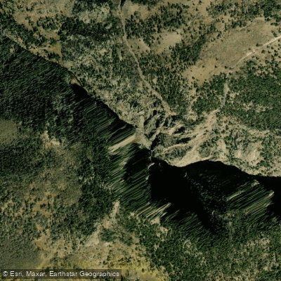
Rio de los Pinos
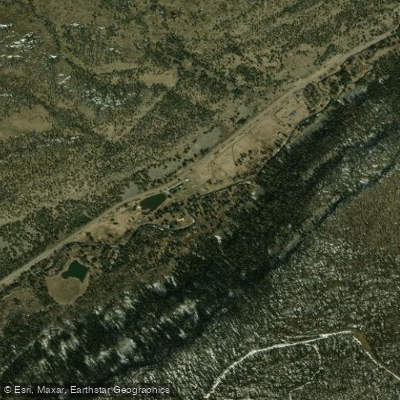
South Fork Rio Grande
Explore Colorado waters
Top paddling waters
Popular Cities
Loading popular cities...
Explore near Conejos River
Access points
Nearby waters
More in Colorado

Smarter Paddling Starts in the App.
Paddleways gives you everything you need to plan smarter, paddle better, and own every trip from first launch to takeout.