Tomichi Creek
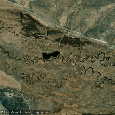
Tomichi Creek
- Boat Ramps
- 0
- Access Points
- 1
- Campsites
- 8
Tomichi Creek is a scenic 71.8-mile long tributary of the Gunnison River in central Colorado. It originates near the Continental Divide at the base of Monarch Pass and flows westward through the Tomichi Valley, roughly paralleling US Highway 50 until it joins the Gunnison River just outside the town of Gunnison. While not known for whitewater paddling, Tomichi Creek is renowned among fly fishing enthusiasts for its population of brown trout.
The creek flows through a mix of public and private lands, with some key public access points providing opportunities for anglers. The Tomichi Creek State Wildlife Area is a popular spot for both fishing and hunting. The creek's flow is typically highest in late spring and early summer due to snowmelt, with levels dropping significantly by mid-June in most years. Late spring through fall offers the best fishing conditions, though low water levels in late summer can impact fishing quality. The surrounding landscape transitions from high alpine meadows near its headwaters to more arid canyon terrain as it approaches Gunnison.
Notable sections include the Lower Canyon stretch below the town of Sargents, which offers about a mile of public access water along US 50. This area is known for its scrappy brown trout and scenic canyon setting. Further upstream, the creek's headwaters provide additional fishing opportunities in a more remote setting.
Access to Tomichi Creek is primarily via US Highway 50, with the towns of Sargents and Gunnison serving as key reference points. The creek passes through a landscape rich in Colorado's mining and ranching history, with the surrounding Gunnison Valley offering a wealth of outdoor recreational opportunities beyond just fishing, including hiking, mountain biking, and skiing at nearby resorts.
While Tomichi Creek itself is not typically used for multi-day paddling trips, its confluence with the Gunnison River opens up possibilities for extended river journeys. Anglers and other visitors should be aware of private property boundaries and respect local access regulations. Additionally, as with many Colorado waterways, Tomichi Creek can be subject to seasonal closures or restrictions during periods of drought or high temperatures to protect the trout population.
The creek plays a vital role in the local ecosystem and is part of ongoing conservation efforts in the Gunnison Valley. Its waters support not only trout but also riparian habitats that are crucial for a variety of wildlife species in this part of Colorado.
Water access, boat ramps & amenities
Learn how to get on Tomichi Creek. Uncover great paddling access points, boat ramps, and all the facilities you need for an unforgettable day on the water. Some locations shown may border or include private property. Always check property boundaries and applicable regulations before visiting. PaddleWays's Public & Private Land layer can help you plan your access with confidence.
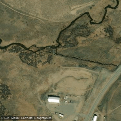
Paddle smarter with real-time insights
Whether you're en route and conditions shift or you're looking for the best spot based on current flows, we enable you to make informed decisions on the fly.








Find Places to Paddle

Over 400,000 Places to Paddle
Every user gets free access to launch points, boat ramps, and public property parcels.


Water and weather conditions (10 day forecast)
See the best times to paddle Tomichi Creek and check the forecast before you go.
TOMICHI CREEK AT SARGENTS, CO
All Flow Stations
Paddling near Tomichi Creek
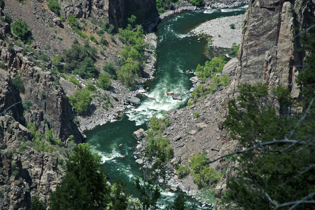
Gunnison River
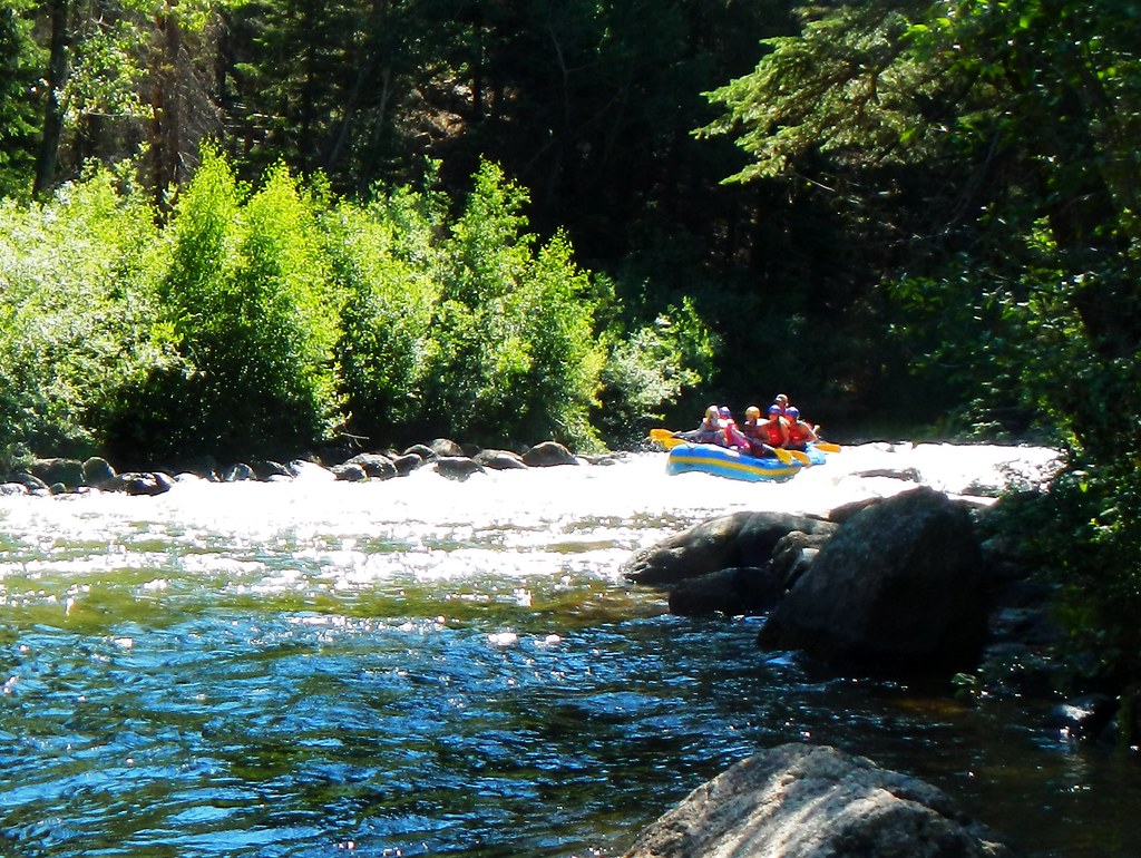
Taylor River
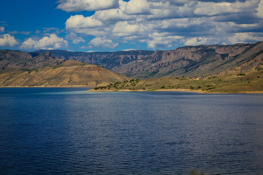
Blue Mesa Reservoir
Lake Fork
Spring Creek

Arkansas River
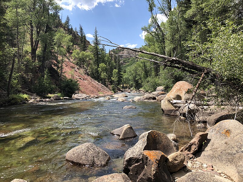
Roaring Fork River

Rio Grande
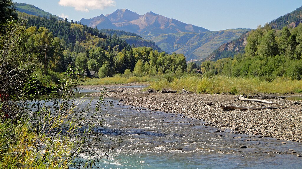
Crystal River
Chalk Creek
Explore Colorado waters
Top paddling waters
Popular Cities
Loading popular cities...
Explore near Tomichi Creek
Access points
Nearby waters
More in Colorado

Smarter Paddling Starts in the App.
Paddleways gives you everything you need to plan smarter, paddle better, and own every trip from first launch to takeout.