Texas Creek
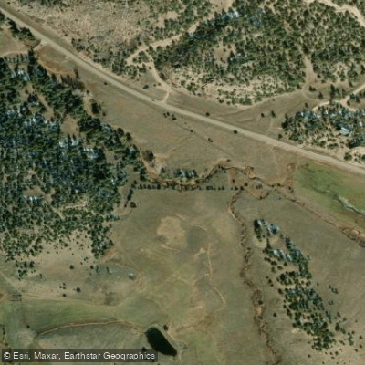
Texas Creek
- Boat Ramps
- 1
- Access Points
- 1
- Campsites
- 4
Texas Creek flows through the rugged terrain of Fremont County, Colorado, carving its path through a remote canyon before joining the Arkansas River near the small settlement of Texas Creek Junction at the intersection of US Highway 50 and Colorado Highway 69. This tributary drains from the Wet Mountains to the east, descending through pinyon-juniper woodlands and eventually entering the Arkansas River corridor in Bighorn Sheep Canyon.
The creek itself offers intimate small-stream fishing opportunities rather than paddling, with populations of brown and rainbow trout inhabiting its waters. Anglers willing to bushwhack through riparian vegetation and navigate rocky terrain can access productive pools and runs, particularly in sections downstream from beaver pond complexes. The creek's modest flow—typically 3 feet wide at its confluence—expands upstream into more substantial water during spring runoff.
Access to Texas Creek requires navigating rough BLM roads south of Highway 50 via County Road 69, with several jeep trails providing entry points into the canyon. High-clearance 4WD vehicles are essential for most approaches. The area features a checkerboard pattern of public BLM land interspersed with private parcels, requiring careful attention to posted boundaries. Designated parking areas exist at various points along the access roads, typically 2-5 miles from the highway junction.
The Texas Creek area holds historical significance dating to the 1880s when Texas cattlemen Joe Lamb and Nat Rich drove longhorn herds through the valley. A mountain lion stampede scattered their cattle up the drainage, leading to the creek's name. The Denver & Rio Grande Railroad later established a station at Texas Creek Junction in 1880, constructing a dramatic 648-foot-long, 95-foot-high bridge in 1900 for a spur line to Westcliffe. Though abandoned by the 1930s, remnants of the old railroad grade remain visible on canyon flanks.
Wildlife includes mule deer, elk, black bears, and the occasional moose in riparian areas. Canada geese frequent beaver ponds, and bighorn sheep inhabit nearby Arkansas River canyon walls. The high desert environment supports sagebrush, juniper, and pinyon pine at lower elevations, transitioning to mixed conifer forests upstream.
Visitors should carry adequate water, as the remote canyon offers limited facilities. The BLM Royal Gorge Field Office in Cañon City provides current information on access conditions and regulations. Summer temperatures can be extreme in the exposed canyon, making spring and fall preferable for exploration. The area sees minimal fishing pressure compared to the adjacent Arkansas River, offering solitude for those willing to work for it.
Water access, boat ramps & amenities
Learn how to get on Texas Creek. Uncover great paddling access points, boat ramps, and all the facilities you need for an unforgettable day on the water. Some locations shown may border or include private property. Always check property boundaries and applicable regulations before visiting. PaddleWays's Public & Private Land layer can help you plan your access with confidence.
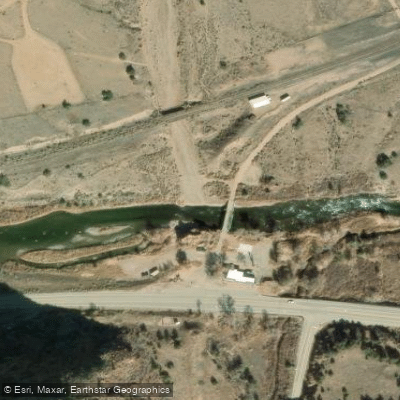
Paddle smarter with real-time insights
Whether you're en route and conditions shift or you're looking for the best spot based on current flows, we enable you to make informed decisions on the fly.








Find Places to Paddle

Over 400,000 Places to Paddle
Every user gets free access to launch points, boat ramps, and public property parcels.


Water and weather conditions (10 day forecast)
See the best times to paddle Texas Creek and check the forecast before you go.
TEXAS CREEK NEAR TEXAS CREEK
Paddling near Texas Creek

Arkansas River

Rio Grande
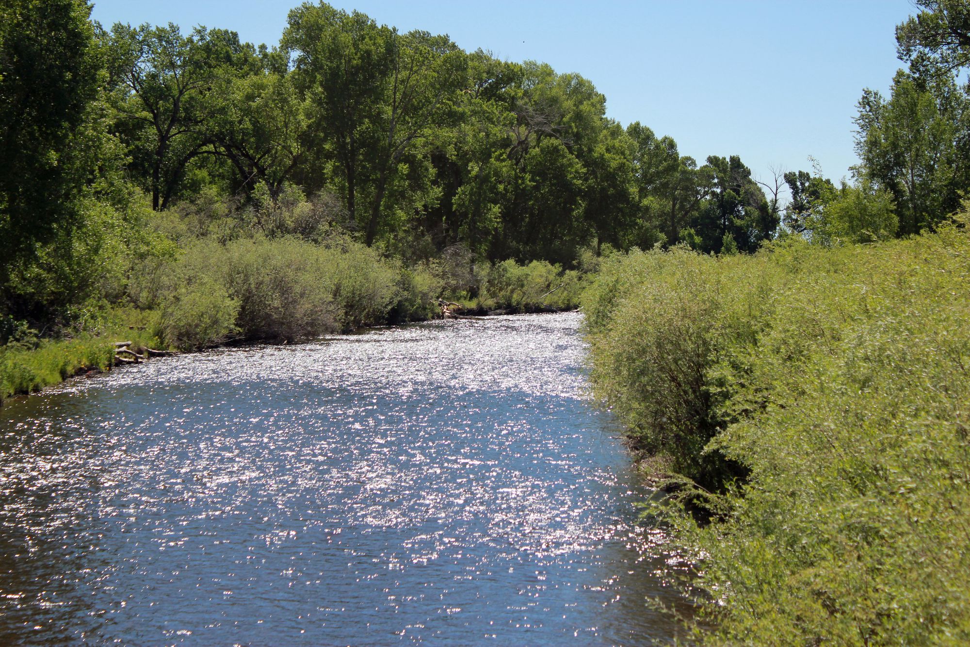
Conejos River
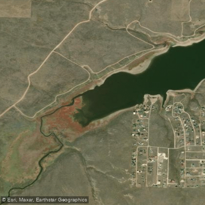
Grape Creek
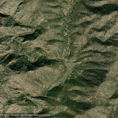
Fourmile Creek
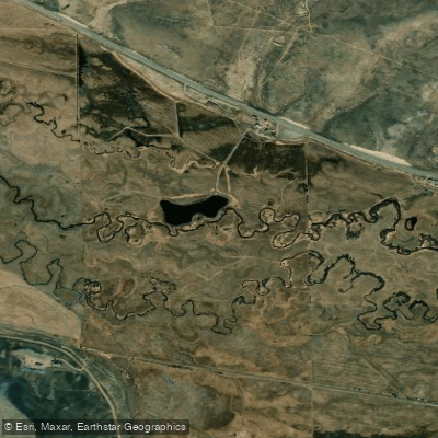
Tomichi Creek
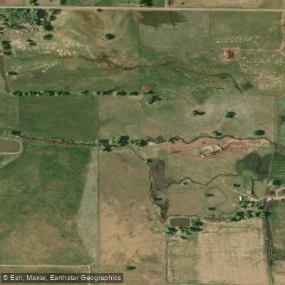
La Jara Creek
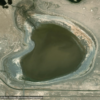
San Luis Lake
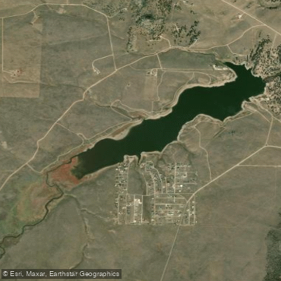
Deweese-Dye Reservoir
Explore Colorado waters
Top paddling waters
Popular Cities
Loading popular cities...
Explore near Texas Creek
Access points
Nearby waters
More in Colorado

Smarter Paddling Starts in the App.
Paddleways gives you everything you need to plan smarter, paddle better, and own every trip from first launch to takeout.