Curated by PaddleWays
RouteClass III–IV
- Distance
- 0.3 mi
- Paddle time
- ~0.5 hrs
- Best for
- Kayak
- Put-in → take-out
- Boulder Whitewater Course Put-in → Boulder Whitewater Course Takeout
Strainers once past the park
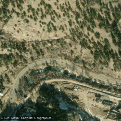
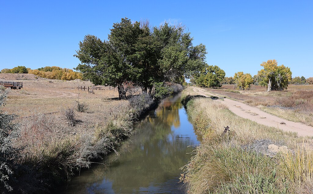
The Farmers Ditch is not a traditional river, but rather an important irrigation system in Boulder County, Colorado. This man-made waterway begins at the mouth of Boulder Creek Canyon, near Eben G. Fine Park in Boulder, where it diverts water from Boulder Creek. The ditch system extends approximately 7 miles through agricultural areas north of Boulder, providing essential water for farming operations. While not designed for recreational paddling, the Farmers Ditch plays a crucial role in the local agricultural ecosystem.
The North Boulder Farmer's Ditch, a key component of this system, distributes water to various farms and properties along its course. The Farmers Ditch Company manages the water flow, which can be monitored in real-time through their website. The ditch typically operates during the growing season, with flow levels varying significantly based on irrigation needs and seasonal factors. The company announces when the ditch is turned on or off for maintenance or repairs, which is essential information for local farmers and property owners.
Although some locals may use the ditch for informal recreation during hot summer days, it's important to note that this practice is not officially sanctioned and may be dangerous or illegal. The ditch is primarily designed for irrigation purposes and lacks the safety features of designated recreational waterways.
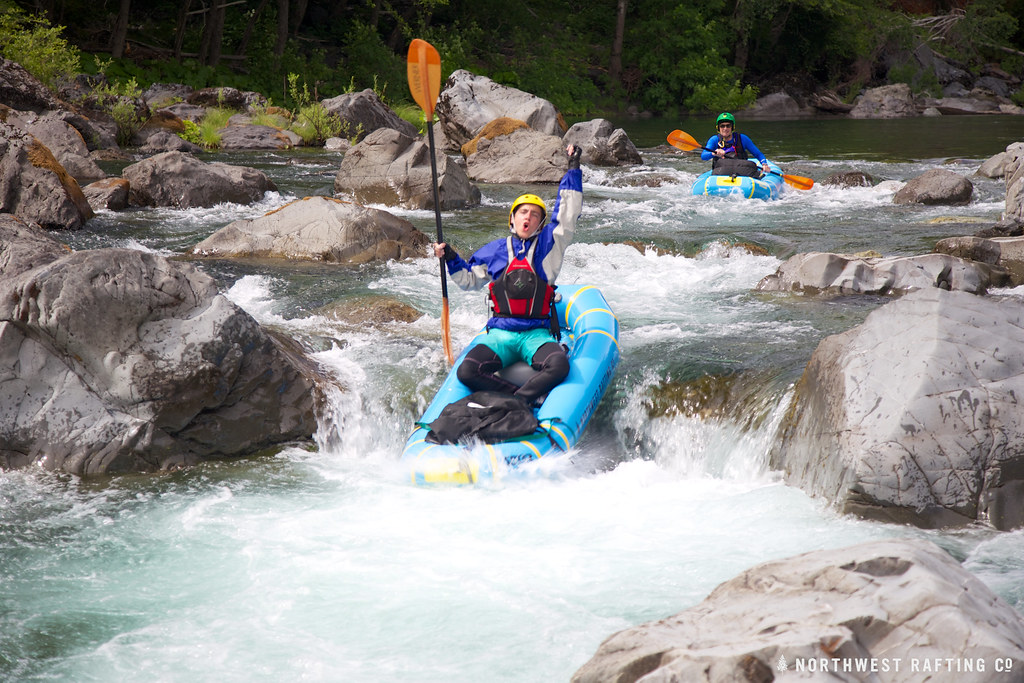
For those seeking whitewater paddling experiences in the area, the nearby Boulder Creek Whitewater Course offers a more suitable option. This 0.5-mile stretch near the origin point of the Farmers Ditch features class III-IV rapids, including the notable Widowmaker hole. The course is typically run during spring and early summer when water levels are highest, with flows around 300 cfs providing a manageable experience for most skilled paddlers.
Access to the Farmers Ditch system is limited, as it primarily runs through private agricultural land. However, the Boulder Creek Whitewater Course is easily accessible from Eben G. Fine Park in Boulder, where kayak rentals are also available.
The Farmers Ditch has significant historical and cultural importance to the Boulder area, having supported local agriculture since the late 19th century. It represents the vital role of water management in Colorado's semi-arid climate and the ongoing balance between urban development and agricultural needs.
Safety considerations for the Farmers Ditch primarily relate to respecting private property and understanding that the system is not designed for recreation. For those paddling the Boulder Creek Whitewater Course, awareness of strainers and varying water levels is crucial for a safe experience.
Curated routes
Hand-picked by the PaddleWays team, with put-ins, take-outs, paddle times and the hazards along the way.
RouteClass III–IV
Hazards
No hazards are marked on Farmers Ditch yet. That is not the same as none being there: if you find one, report it for the next paddler.
From the community
Nobody has shared a trip on Farmers Ditch yet. Paddle it, then tell the next paddler how it went.
See exactly where the public can get on and off the river. Launch points and boat ramps are paired with PaddleWays' public land data so you know where you can legally land.
Public shoreline
61%of the river's shoreline is public
Flows, weather and a route-by-route verdict, so you know which stretch of the Farmers Ditch is worth paddling today.
All Flow Stations
Live flows, marked hazards and fresh trip reports from paddlers who were just on the water, all in one place.





Every user gets free access to launch points, boat ramps, and public property parcels.
Loading popular cities...
PaddleWays gives you everything you need to plan smarter, paddle better, and own every trip from first launch to takeout.