South Clear Creek
South Clear Creek
- Boat Ramps
- 2
- Access Points
- 5
- Campsites
- 12
South Clear Creek originates in the high alpine terrain of the San Juan Mountains near the Continental Divide in Hinsdale County, Colorado. The creek flows generally northeast through a rugged, forested canyon before joining North Clear Creek to form Clear Creek proper. This tributary system drains a remote watershed characterized by steep gradients, mineral-rich geology from historic mining activity, and dense coniferous forests interspersed with aspen groves. The creek flows through some of Colorado's most isolated terrain, with Hinsdale County ranking among the least populated counties in the continental United States. South Clear Creek passes through elevations ranging from approximately 11,000 feet near its headwaters to around 9,500 feet at lower reaches, creating a cold-water environment that remains fishable throughout much of the year.
Paddling opportunities on South Clear Creek are extremely limited due to its small size, steep gradient, and technical nature. The creek typically flows at modest volumes, often between 20-50 cubic feet per second during normal conditions, making it too shallow for conventional kayaking or rafting. During peak spring runoff, flows may increase substantially but remain confined within a narrow, boulder-choked channel that presents significant hazards. The creek is not recommended for paddling and sees virtually no boating traffic.
Anglers find South Clear Creek far more appealing than paddlers. The creek supports populations of brook trout, brown trout, and occasional cutthroat trout. The cold, clear water provides excellent habitat, particularly in the deeper pools formed behind natural boulder dams. Fishing access exists along Forest Road 510 and near the Bristol Head and Silver Thread campgrounds, where the creek flows through more accessible terrain.
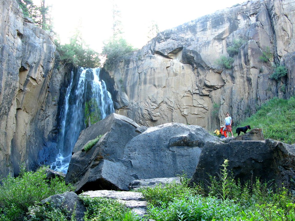
The South Clear Creek watershed lies almost entirely within the Rio Grande National Forest, ensuring public access across most of its length. South Clear Creek Falls, located approximately 23 miles from Creede along Highway 149, serves as a prominent landmark. This dramatic waterfall drops through a narrow gorge and can be accessed via a short trail from the Silver Thread Campground. The falls area offers excellent photography opportunities and interpretive signage about the geology and ecology of the region.
The creek's name reflects its typically transparent water, though historic mining activity in the upper watershed occasionally contributes trace minerals. The surrounding landscape shows evidence of Colorado's silver boom era, with abandoned mine structures visible in some tributary drainages. Wildlife in the corridor includes moose, elk, black bears, and mule deer. Bald eagles and various raptor species hunt along the creek during winter months. The riparian zone supports dense willows and wildflower meadows during summer.
Access points are limited but include pullouts along Highway 149 and Forest Road 510. The town of Creede, approximately 20-25 miles east, serves as the primary supply point for visitors. Lake City lies roughly 30 miles to the northwest. Anglers should note Colorado Parks and Wildlife regulations, including potential artificial fly and lure restrictions. The high elevation means cold water temperatures year-round and the possibility of sudden weather changes, including afternoon thunderstorms during summer months.
Water access, boat ramps & amenities
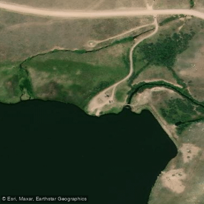
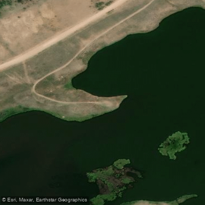
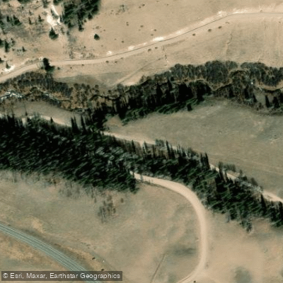
Learn how to get on South Clear Creek. Uncover great paddling access points, boat ramps, and all the facilities you need for an unforgettable day on the water. Some locations shown may border or include private property. Always check property boundaries and applicable regulations before visiting. PaddleWays's Public & Private Land layer can help you plan your access with confidence.
Paddle smarter with real-time insights
Whether you're en route and conditions shift or you're looking for the best spot based on current flows, we enable you to make informed decisions on the fly.








Find Places to Paddle

Over 400,000 Places to Paddle
Every user gets free access to launch points, boat ramps, and public property parcels.


Water and weather conditions (10 day forecast)
See the best times to paddle South Clear Creek and check the forecast before you go.
No forecast data available.
Paddling near South Clear Creek
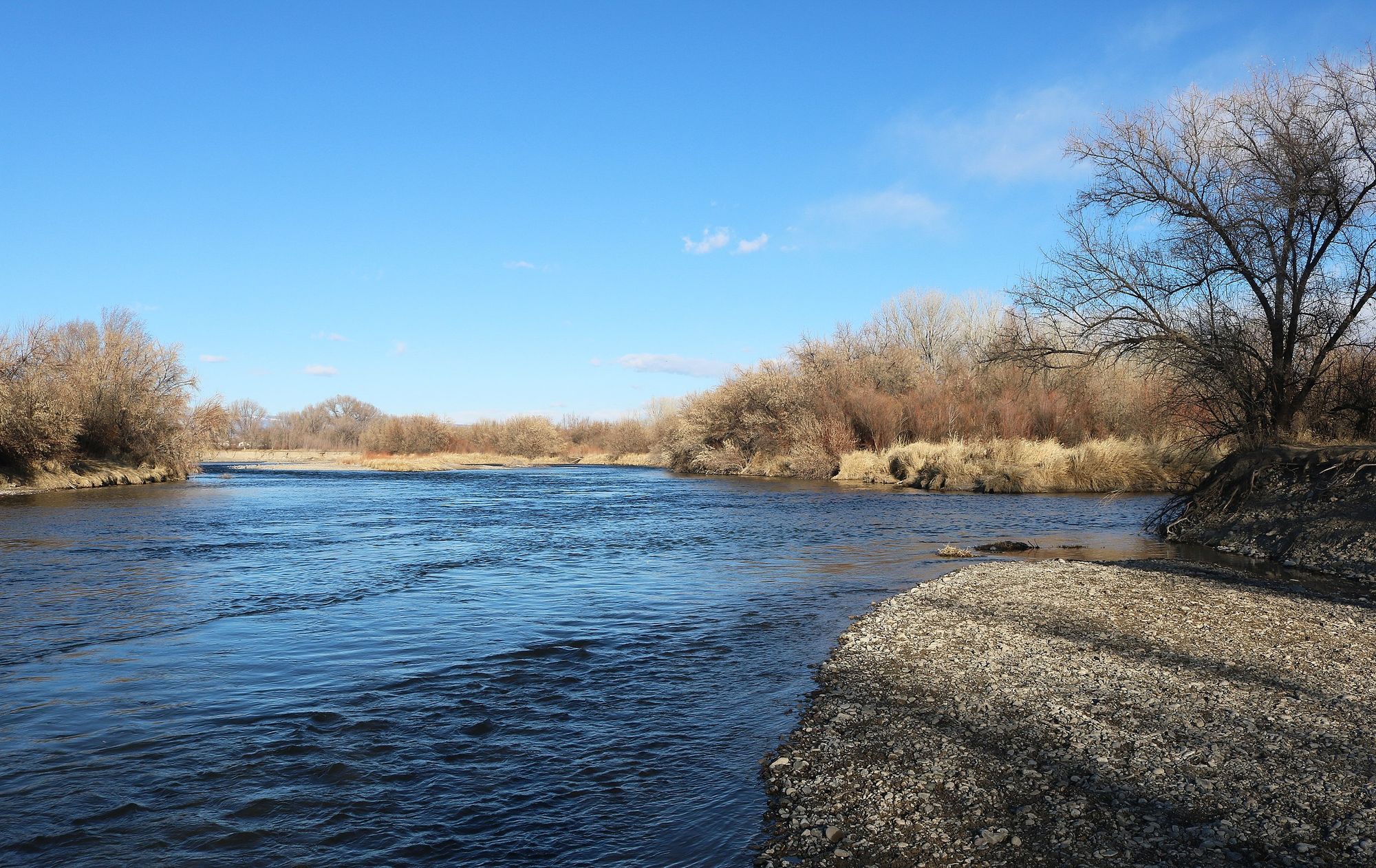
Uncompahgre River
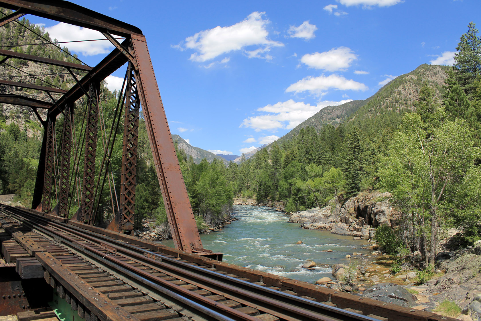
Animas River

Rio Grande
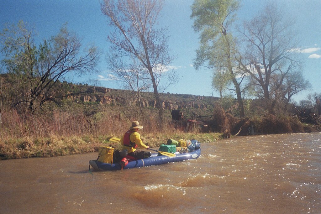
San Miguel River
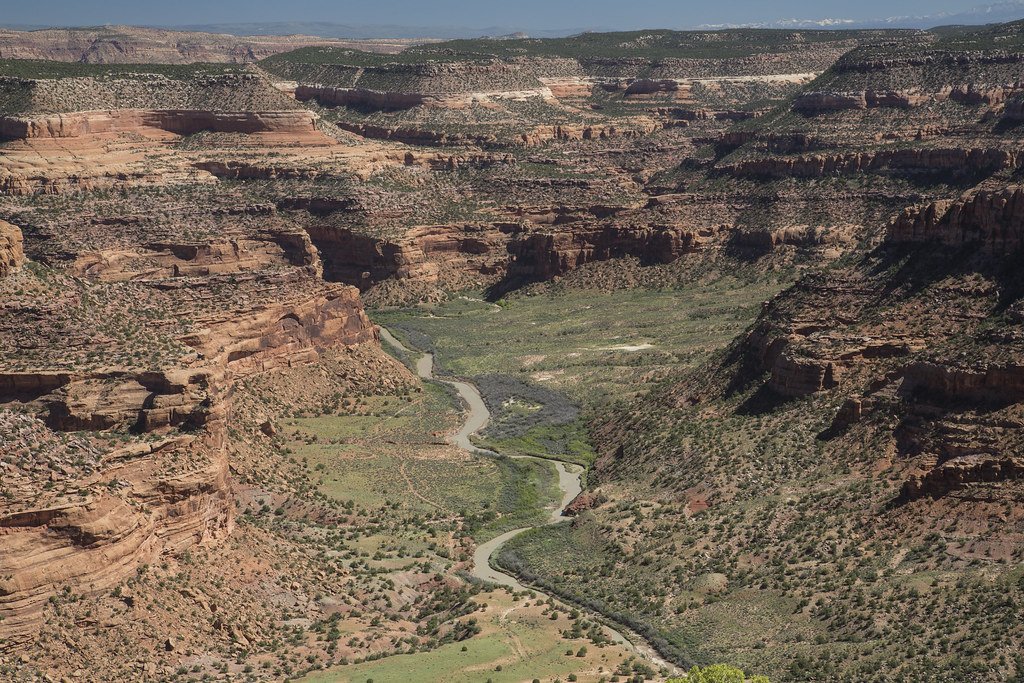
Dolores River
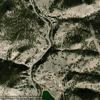
Lake Fork
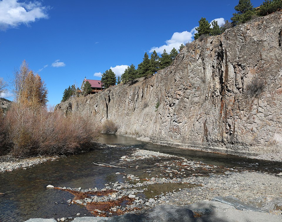
Henson Creek
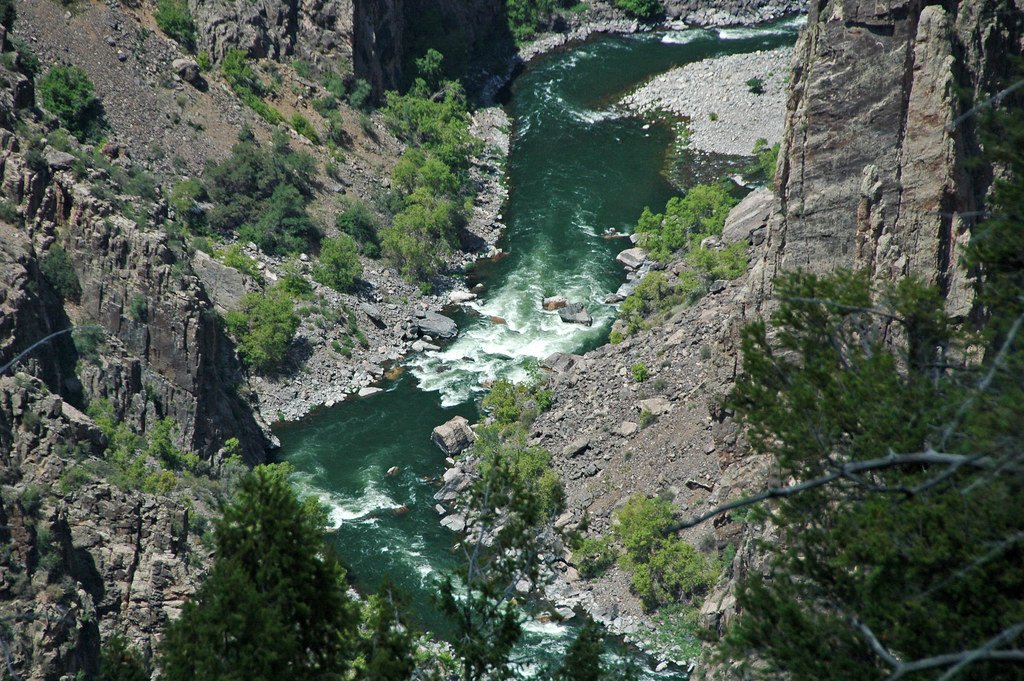
Gunnison River
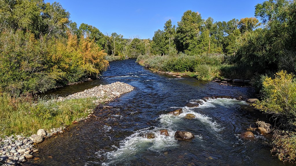
Los Pinos River
Explore Colorado waters
Top paddling waters
Popular Cities
Loading popular cities...
Explore near South Clear Creek
Access points
Nearby waters
More in Colorado

Smarter Paddling Starts in the App.
Paddleways gives you everything you need to plan smarter, paddle better, and own every trip from first launch to takeout.