Curated by PaddleWays
RouteClass IV
- Distance
- 2.9 mi
- Paddle time
- ~0.5 hrs
- Best for
- Kayak
- Put-in → take-out
- James Creek Confluence Hand Launch → Buckingham Park Hand Ramp
Continuous technical whitewater with steep-creek hazards
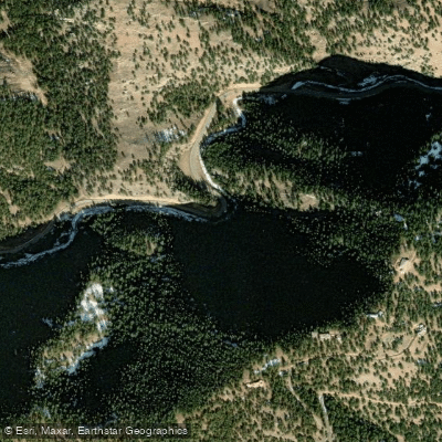
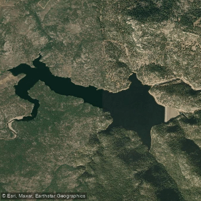
Left Hand Creek carves a dramatic 33.9-mile path through Boulder County, Colorado, descending from the high country of the Front Range to its confluence with Saint Vrain Creek. The creek originates at Left Hand Park Reservoir on the north flank of Niwot Mountain, then plunges eastward through the steep-walled Left Hand Canyon before emerging onto the plains northwest of Boulder.
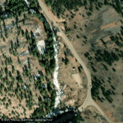
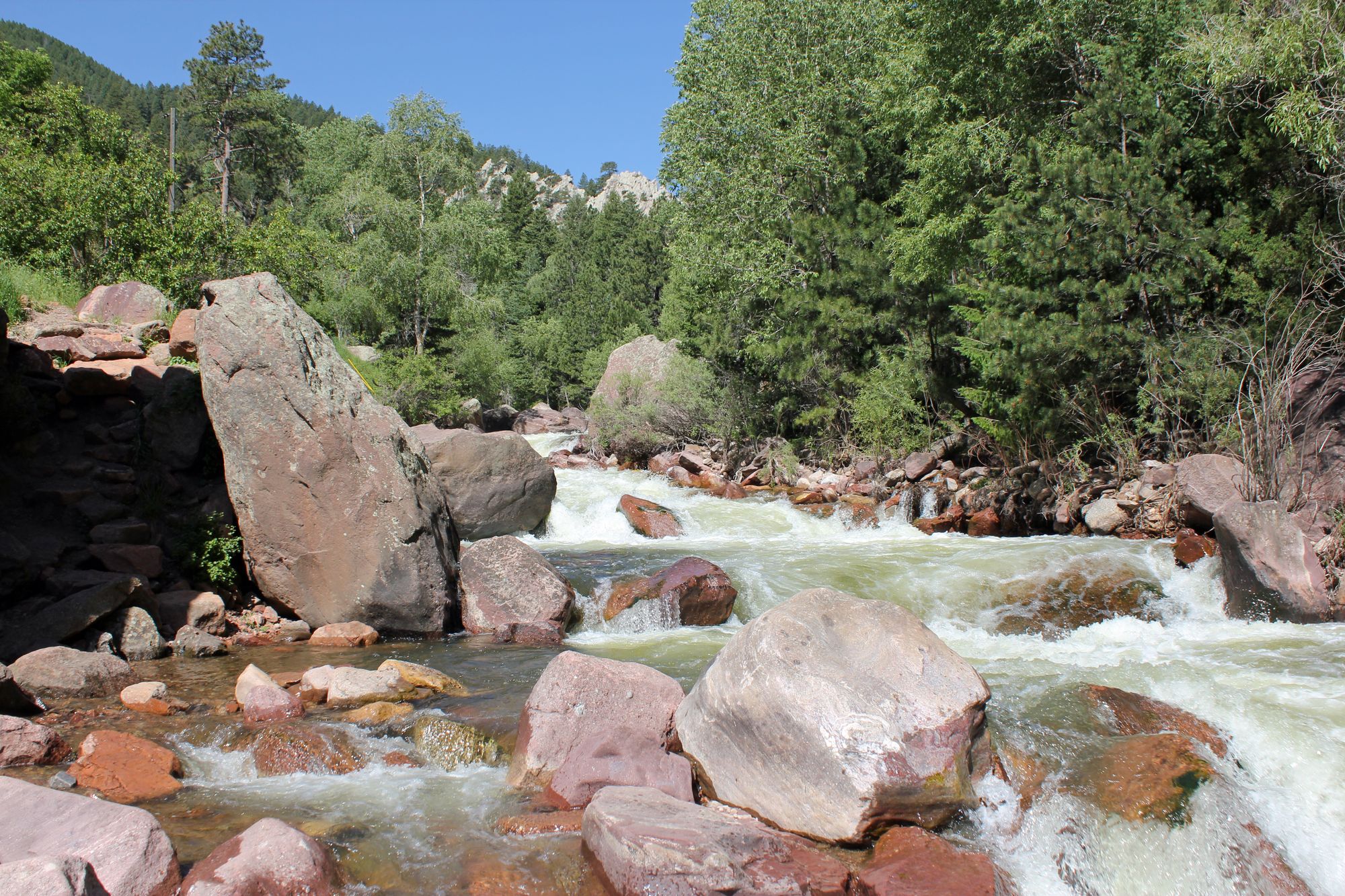
The canyon section represents one of Colorado's most technical and challenging whitewater kayaking runs. The primary paddling segment stretches approximately 1.5 miles from James Canyon Drive to Buckingham Park, featuring continuous Class IV whitewater punctuated by a notorious Class V mini-gorge. First descended in 1998 by Brook Aitken, Chris McEniry, and Craig D. Irwin, this run remained relatively obscure until the early 2000s. The mini-gorge section presents a particularly demanding obstacle, accessed through a small culvert passing under Left Hand Canyon Drive. Paddlers immediately encounter a tight, snaking boulder garden that cascades alongside the roadway. This section frequently collects woody debris, adding unpredictability to an already technical challenge.
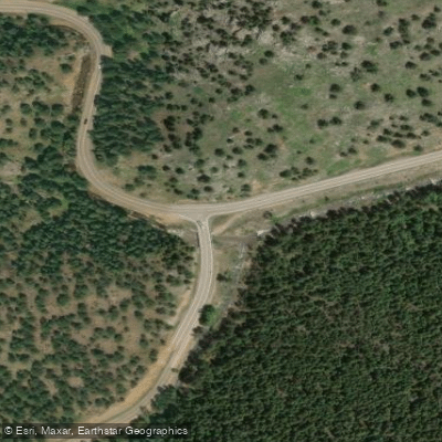
The creek flows through diverse elevation zones, passing near the mountain community of Ward at the canyon's upper reaches before descending through the narrow gorge. Buckingham Park, managed by the City of Boulder Mountain Parks and Open Space, serves as the primary takeout point and provides the only formal parking facility for river access. The park features creek-side picnic areas and wheelchair-accessible facilities, situated at the intersection of Left Hand Canyon Drive and Old Stage Road.
Optimal paddling conditions typically occur during spring runoff when flows range between 100 and 500 cubic feet per second. The CDWR gauge located just below Buckingham Park provides critical flow information for trip planning. At around 270 cfs, the run becomes notably bony, requiring precise line selection and technical boat control. The confined nature of the gorge and presence of undercut rocks demand solid Class V skills and experience reading complex whitewater.
The 2013 Colorado floods significantly impacted Left Hand Canyon, reshaping portions of the creek bed and altering familiar features. Post-flood conditions created new challenges and required paddlers to re-scout previously known sections. The creek's steep gradient and boulder-choked character make this exclusively a day-trip destination for expert kayakers. The combination of difficult access, technical difficulty, and potential hazards ensures Left Hand Canyon remains a serious undertaking reserved for skilled paddlers with appropriate rescue capabilities.
Curated routes
Hand-picked by the PaddleWays team, with put-ins, take-outs, paddle times and the hazards along the way.
RouteClass IV
Hazards
No paddler has reported a hazard here yet, so these are the dams, falls and big rapids on our map. Hazards change with flows and storms, so check them before you launch.
From the community
Nobody has shared a trip on Left Hand Creek yet. Paddle it, then tell the next paddler how it went.
See exactly where the public can get on and off the river. Launch points and boat ramps are paired with PaddleWays' public land data so you know where you can legally land.
Public shoreline
43%of the river's shoreline is public
Most of the riverbank is private. Launch, land and camp only at public access points.
Flows, weather and a route-by-route verdict, so you know which stretch of the Left Hand Creek is worth paddling today.
All Flow Stations
Live flows, marked hazards and fresh trip reports from paddlers who were just on the water, all in one place.





Every user gets free access to launch points, boat ramps, and public property parcels.
Loading popular cities...
PaddleWays gives you everything you need to plan smarter, paddle better, and own every trip from first launch to takeout.