Long Draw Reservoir
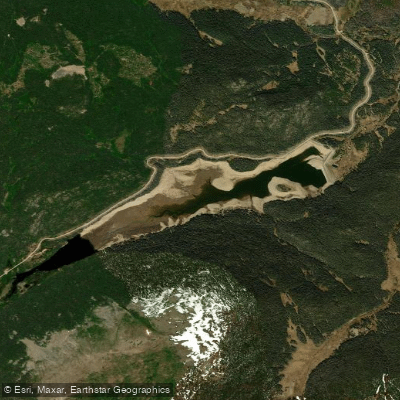
Long Draw Reservoir
- Boat Ramps
- 0
- Access Points
- 3
- Campsites
- 10
Long Draw Reservoir is a high-elevation fishing and paddling destination located in Larimer County, Colorado, within the Roosevelt National Forest west of Fort Collins. Situated near the top of Cameron Pass along the Cache la Poudre River drainage, this remote reservoir sits at approximately 10,030 feet elevation and offers a peaceful mountain paddling experience away from urban crowds.
**Access and Facilities** The reservoir is accessed via Forest Service roads from Colorado Highway 14 (Poudre Canyon). The remote location means facilities are minimal—primarily a boat ramp suitable for smaller watercraft. The area typically becomes accessible from late spring through early fall, with exact dates varying based on snowpack and road conditions. Ice-off generally occurs in June.
**Paddling Character** Long Draw provides excellent opportunities for canoes, kayaks, and stand-up paddleboards seeking calm water paddling. The reservoir covers approximately 180 surface acres when full, though water levels can fluctuate significantly due to irrigation demands. Non-motorized craft and electric motors are permitted, contributing to the tranquil atmosphere. The relatively protected basin offers some shelter from wind, though afternoon breezes are common at this elevation.
**Scenery and Wildlife** Paddlers enjoy stunning views of surrounding peaks and subalpine forest. The shoreline features a mix of open areas and coniferous forest. Wildlife sightings may include moose, elk, mule deer, and various waterfowl. Osprey and bald eagles occasionally hunt over the water.
**Special Regulations** Long Draw Reservoir operates under special fishing regulations—artificial flies and lures only, with a 2-trout bag and possession limit. The reservoir is managed for quality greenback cutthroat trout fishing, which complements the paddling experience for those interested in combining activities.
**Considerations** Elevation means cooler temperatures and potential afternoon thunderstorms. Paddlers should prepare for changing mountain weather and carry appropriate safety gear. The remote setting requires self-sufficiency.
Water access, boat ramps & amenities
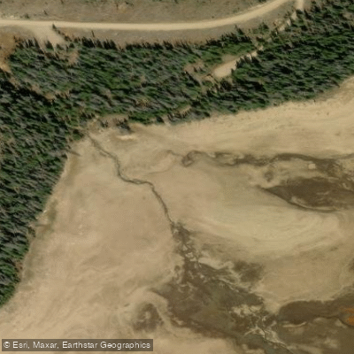
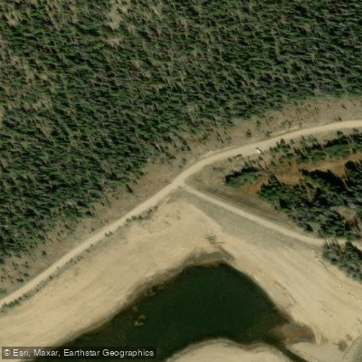
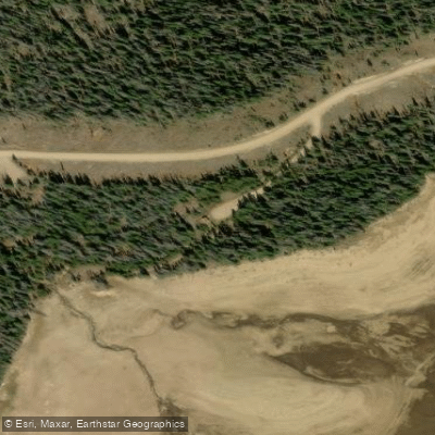
Learn how to get on Long Draw Reservoir. Uncover great paddling access points, boat ramps, and all the facilities you need for an unforgettable day on the water. Some locations shown may border or include private property. Always check property boundaries and applicable regulations before visiting. PaddleWays's Public & Private Land layer can help you plan your access with confidence.
Paddle smarter with real-time insights
Whether you're en route and conditions shift or you're looking for the best spot based on current flows, we enable you to make informed decisions on the fly.








Find Places to Paddle

Over 400,000 Places to Paddle
Every user gets free access to launch points, boat ramps, and public property parcels.


Water and weather conditions (10 day forecast)
See the best times to paddle Long Draw Reservoir and check the forecast before you go.
LA POUDRE PASS CREEK BELOW LONG DRAW RESERVOIR
Paddling near Long Draw Reservoir
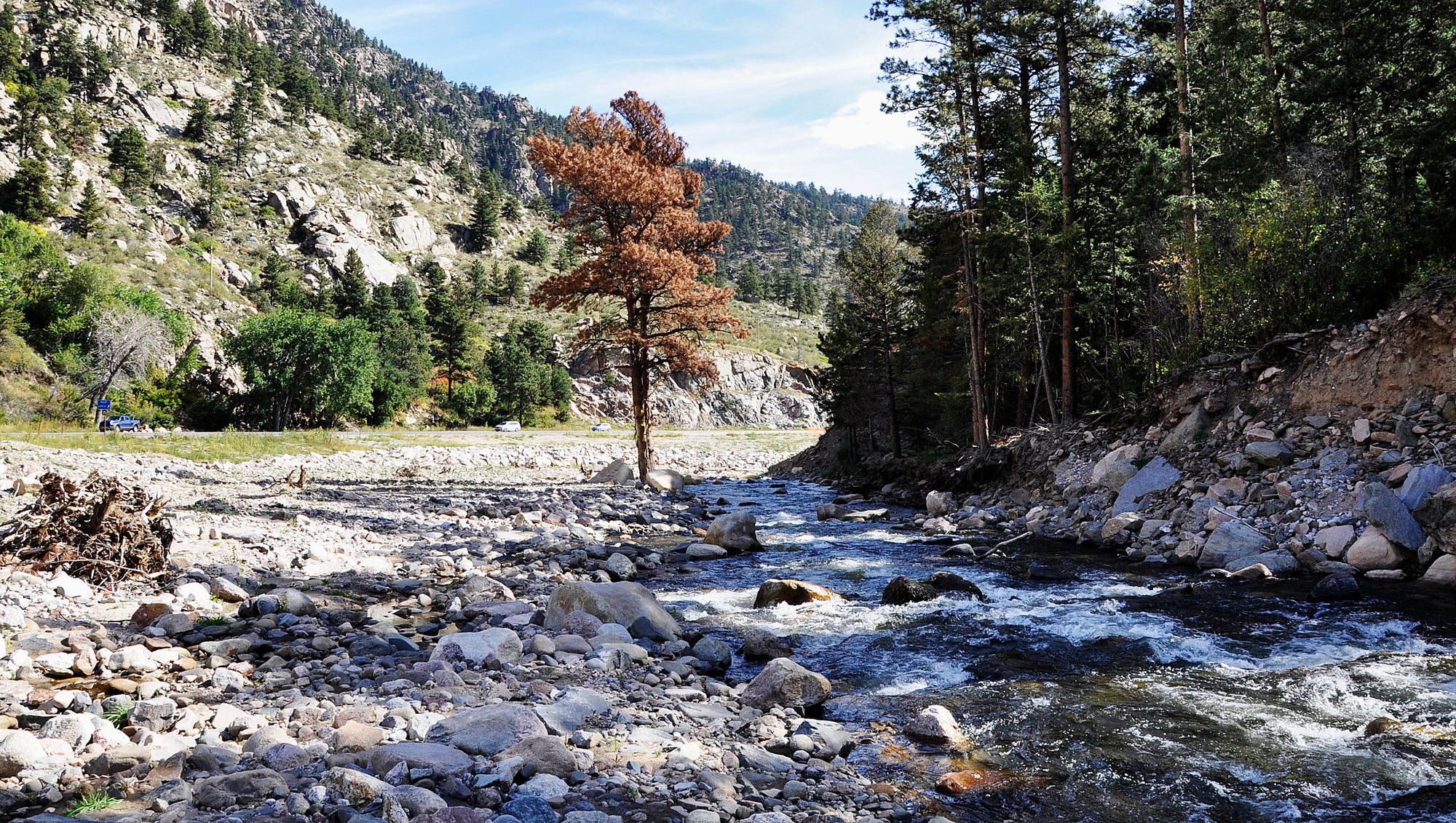
Big Thompson River

Colorado River
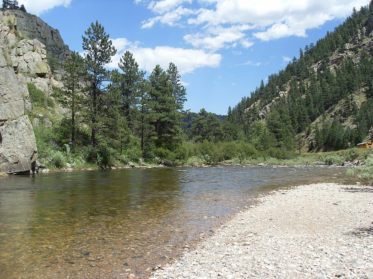
Cache la Poudre River
Laramie River
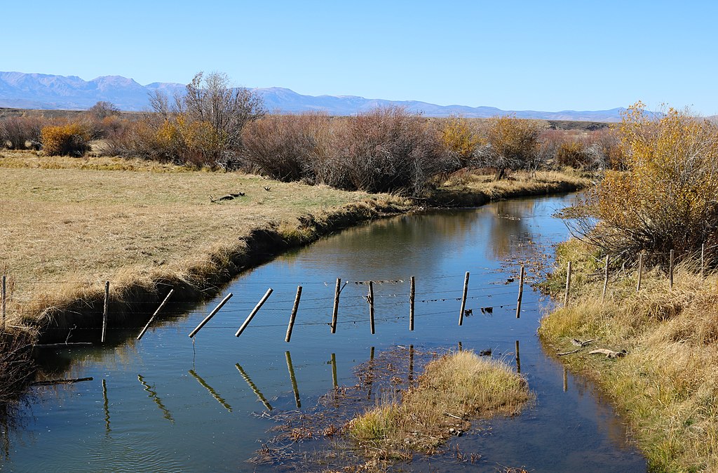
Michigan River
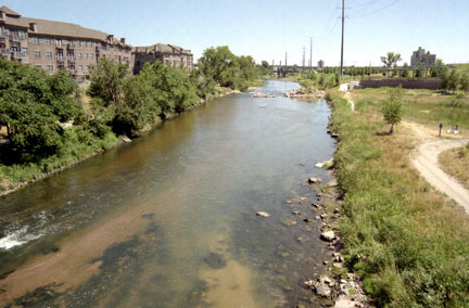
South Platte River
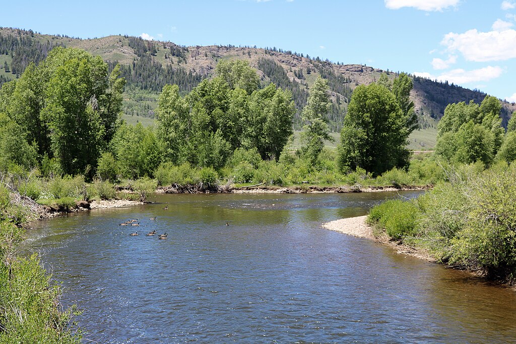
Fraser River
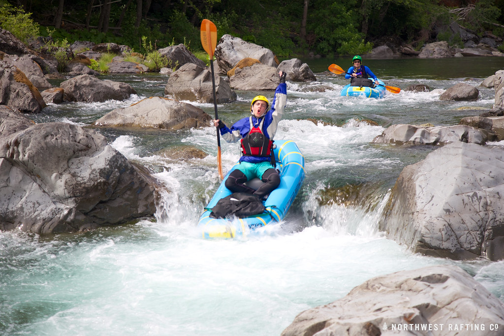
Boulder Creek
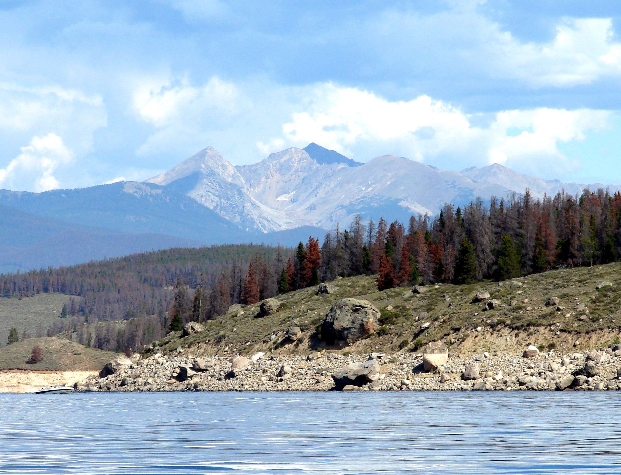
Lake Granby
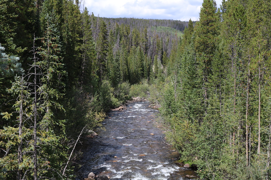
Joe Wright Creek
Explore Colorado waters
Top paddling waters
Popular Cities
Loading popular cities...
Explore near Long Draw Reservoir
Access points
Nearby waters
More in Colorado

Smarter Paddling Starts in the App.
Paddleways gives you everything you need to plan smarter, paddle better, and own every trip from first launch to takeout.