North Saint Vrain Creek
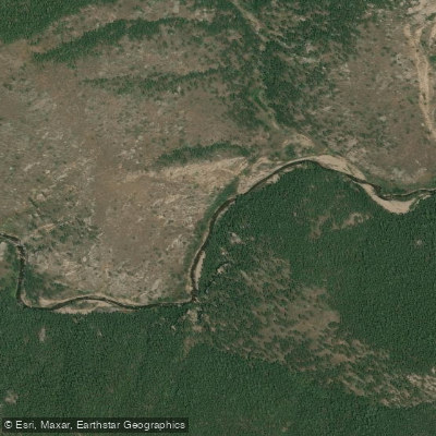
North Saint Vrain Creek
- Boat Ramps
- 2
- Access Points
- 12
- Campsites
- 33
The North Saint Vrain Creek is a scenic and challenging waterway located in north-central Colorado. Originating high in the Indian Peaks Wilderness, it flows eastward through rugged canyons before joining the South Saint Vrain Creek near Lyons to form Saint Vrain Creek, a major tributary of the South Platte River. This creek offers a variety of paddling opportunities, from intense Class V whitewater in its upper reaches to more moderate Class III-IV runs closer to Lyons. The most popular sections include the Class V- Middle Section from Button Rock Preserve to County Road 80, and the Class III+ Shelly's Cottages run from CR 80 to Lyons. Paddlers should have solid whitewater skills, as even the easier sections contain technical rapids and potential hazards like strainers.
The creek is typically run in late spring and early summer when snowmelt provides adequate flows. Water releases from Button Rock Reservoir can extend the season into late summer. The creek flows through scenic Rocky Mountain foothills, with pine and spruce forests lining the banks. Wildlife like mule deer, black bears, and various bird species can often be spotted. Key landmarks include Button Rock Preserve, Apple Valley, and the town of Lyons with its whitewater park. Primary access points are located at Button Rock Preserve gate, County Road 80, and in Lyons. The nearby towns of Boulder, Longmont, and Estes Park provide amenities for paddlers.
Historically, the creek powered mills and supported early settlements. Today it's an important water source for local communities and a popular recreation destination. The 2013 floods dramatically altered some sections of the creek. Safety considerations include wood hazards, difficult rapids, and cold water. Some sections have access restrictions or pass through private property. Paddlers should check current conditions and regulations before trips. While primarily used for day trips, experienced paddlers could potentially link multiple sections for overnight adventures, though camping options are limited.
The North Saint Vrain offers a classic Colorado paddling experience, combining challenging whitewater with stunning Rocky Mountain scenery. Its variety of runs attracts skilled kayakers and canoers from across the Front Range region.
Water access, boat ramps & amenities
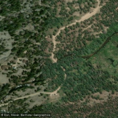
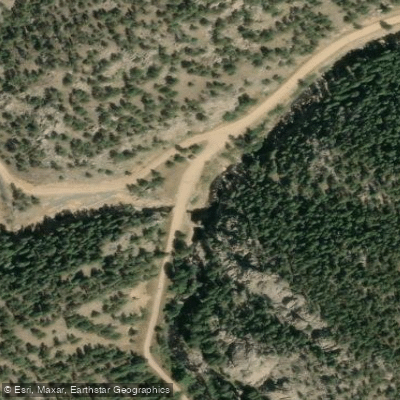
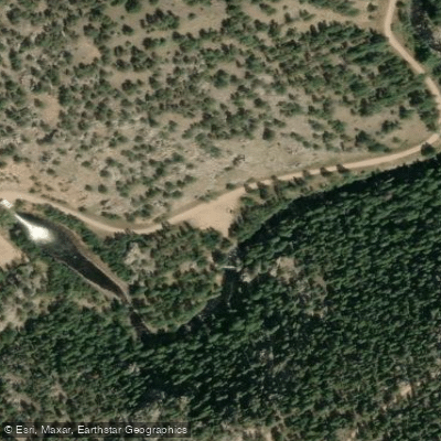
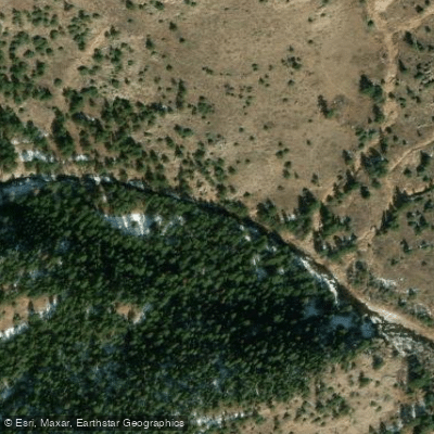
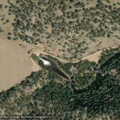
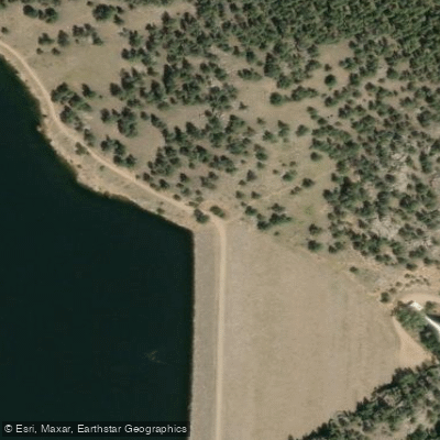
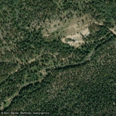
Learn how to get on North Saint Vrain Creek. Uncover great paddling access points, boat ramps, and all the facilities you need for an unforgettable day on the water. Some locations shown may border or include private property. Always check property boundaries and applicable regulations before visiting. PaddleWays's Public & Private Land layer can help you plan your access with confidence.
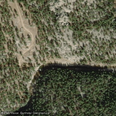
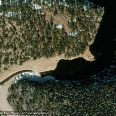
Paddle smarter with real-time insights
Whether you're en route and conditions shift or you're looking for the best spot based on current flows, we enable you to make informed decisions on the fly.








Find Places to Paddle

Over 400,000 Places to Paddle
Every user gets free access to launch points, boat ramps, and public property parcels.


Water and weather conditions (10 day forecast)
See the best times to paddle North Saint Vrain Creek and check the forecast before you go.
LYONS BOHN PARK PUMP STATION
All Flow Stations
Paddling near North Saint Vrain Creek
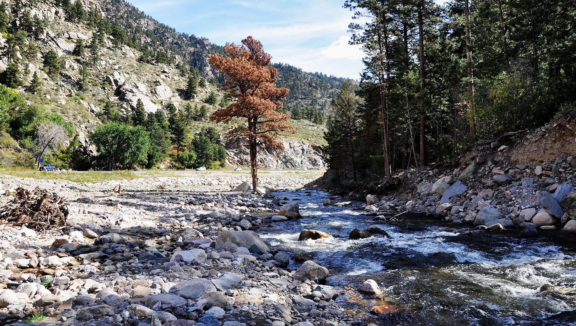
Big Thompson River

Colorado River
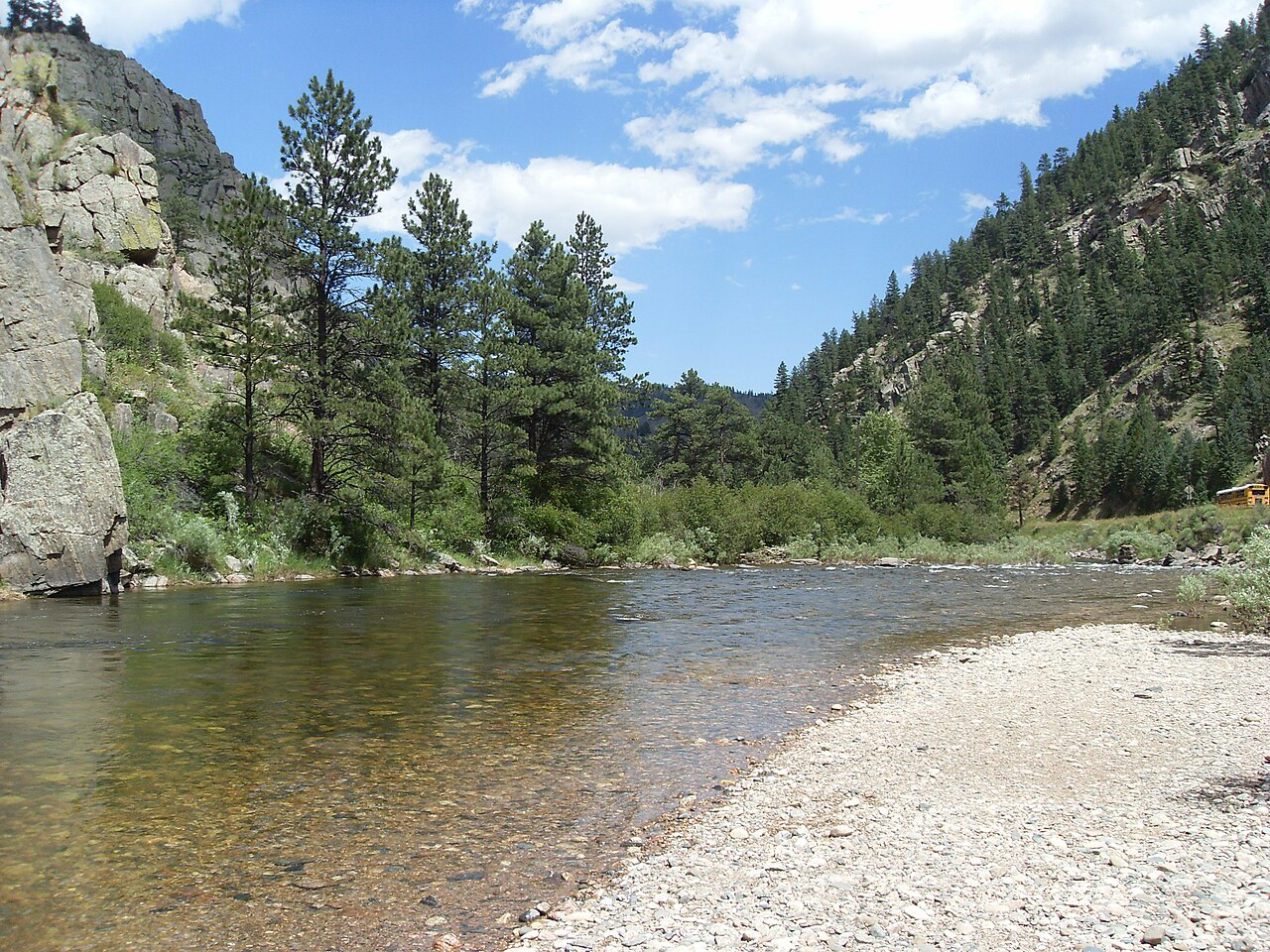
Cache la Poudre River
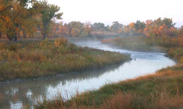
Laramie River
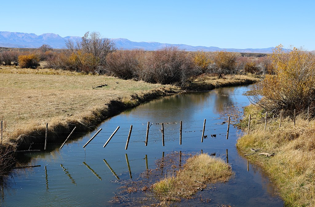
Michigan River
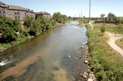
South Platte River
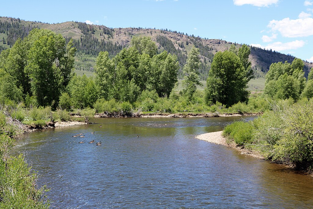
Fraser River
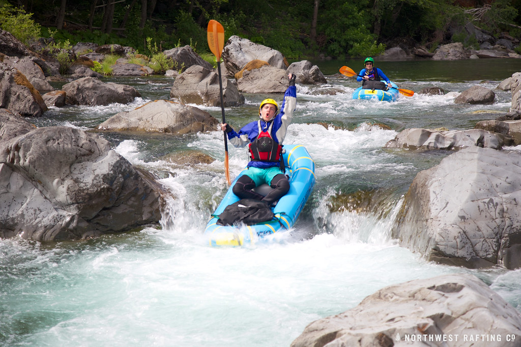
Boulder Creek
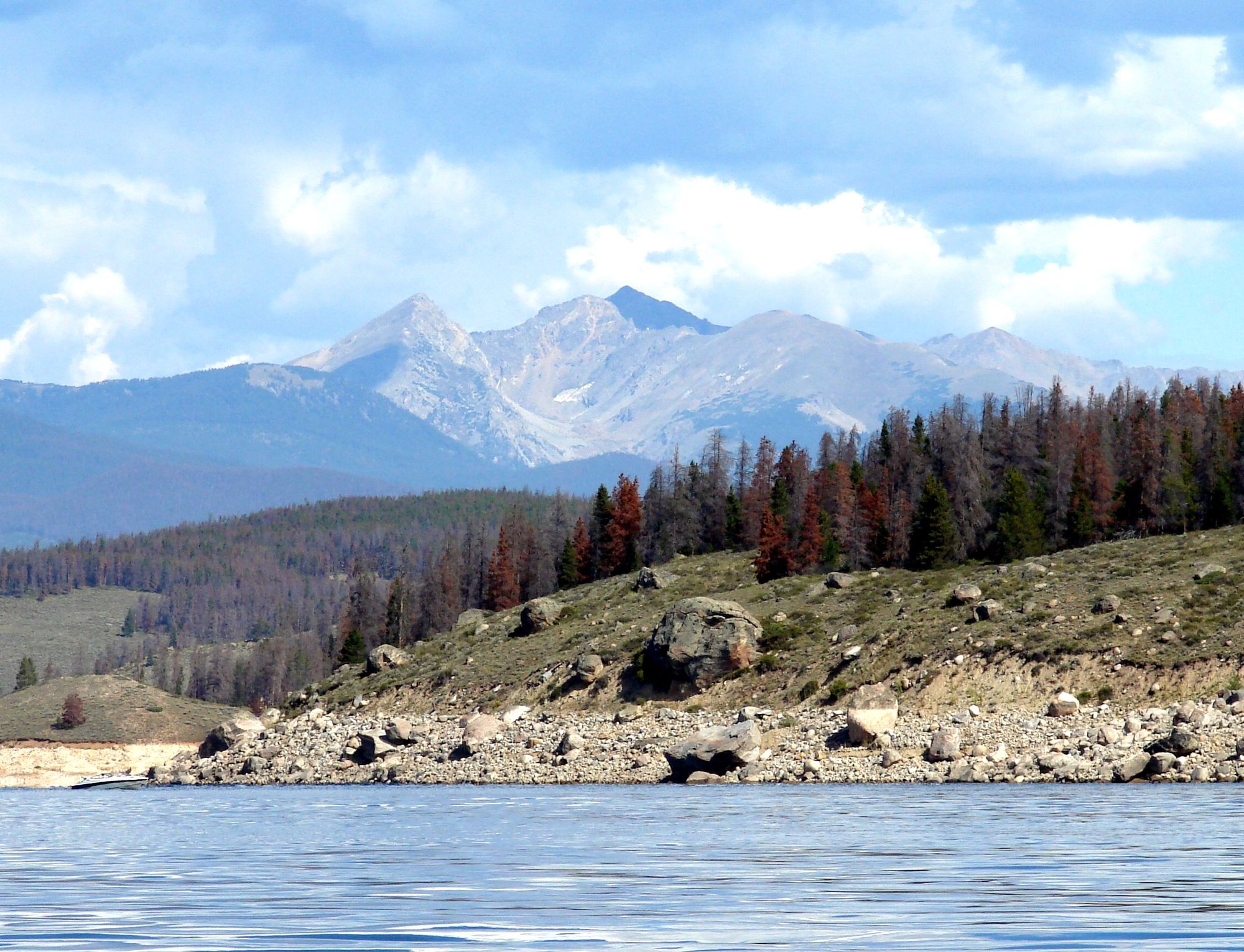
Lake Granby
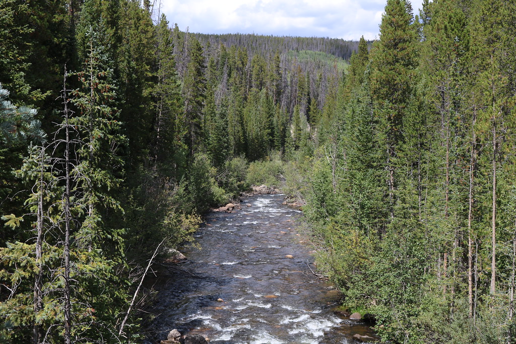
Joe Wright Creek
Explore Colorado waters
Top paddling waters
Popular Cities
Loading popular cities...
Explore near North Saint Vrain Creek
Access points
Nearby waters
More in Colorado

Smarter Paddling Starts in the App.
Paddleways gives you everything you need to plan smarter, paddle better, and own every trip from first launch to takeout.