Curated by PaddleWays
RouteClass IV
- Distance
- 10.3 mi
- Paddle time
- ~2.5 hrs
- Best for
- Experienced paddlers
- Put-in → take-out
- Montezuma Road Hand Launch → Windy Point Group Campground Boat Ramp
Two river-wide logs in the run
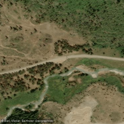
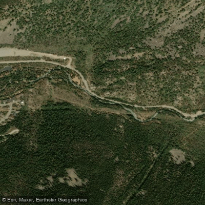
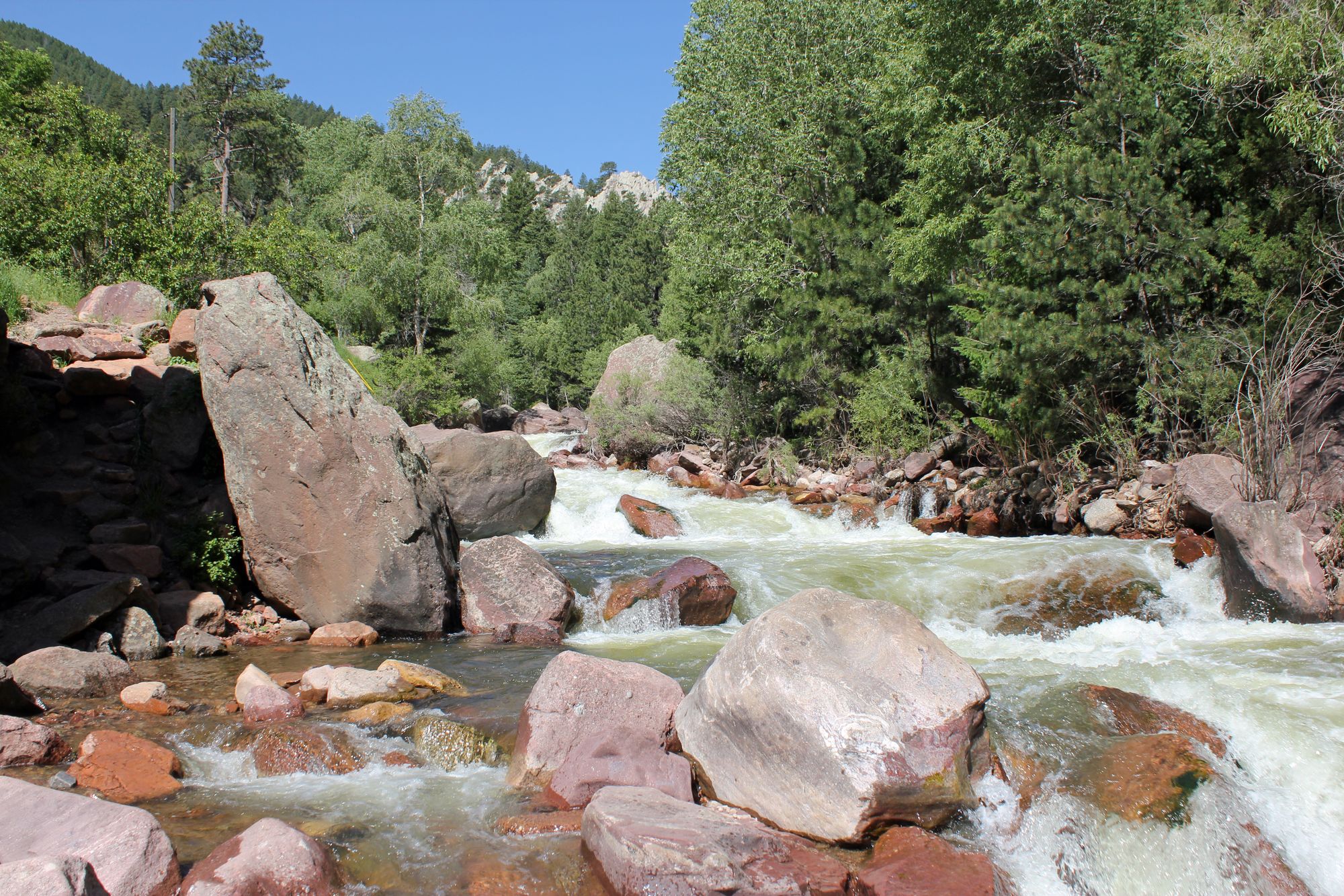
The Snake River in Colorado is a short but exciting tributary of the Blue River, originating high in the Rocky Mountains near Keystone. This 15-mile long stream flows southeast through Summit County before joining the Blue River just above Dillon Reservoir. The Snake offers paddlers a thrilling Class IV whitewater run in its upper section.
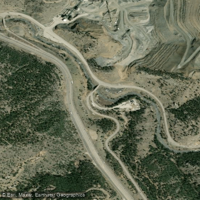
The main whitewater stretch begins about 4 miles up Montezuma Road east of Keystone, where the river flows under the road. This 4-mile section features four significant rapids, making it a challenging run suitable only for expert paddlers with solid whitewater skills. Two river-wide logs create additional hazards, with the first one runnable far river left.
Due to its nature as a short, steep mountain stream, the Snake River's flow is highly dependent on snowmelt and rainfall. The best paddling window is typically in late spring and early summer when snowmelt peaks. By mid-summer, water levels often drop too low for enjoyable paddling. Given its high elevation, ice can persist well into spring, so paddlers should be prepared for cold water conditions.
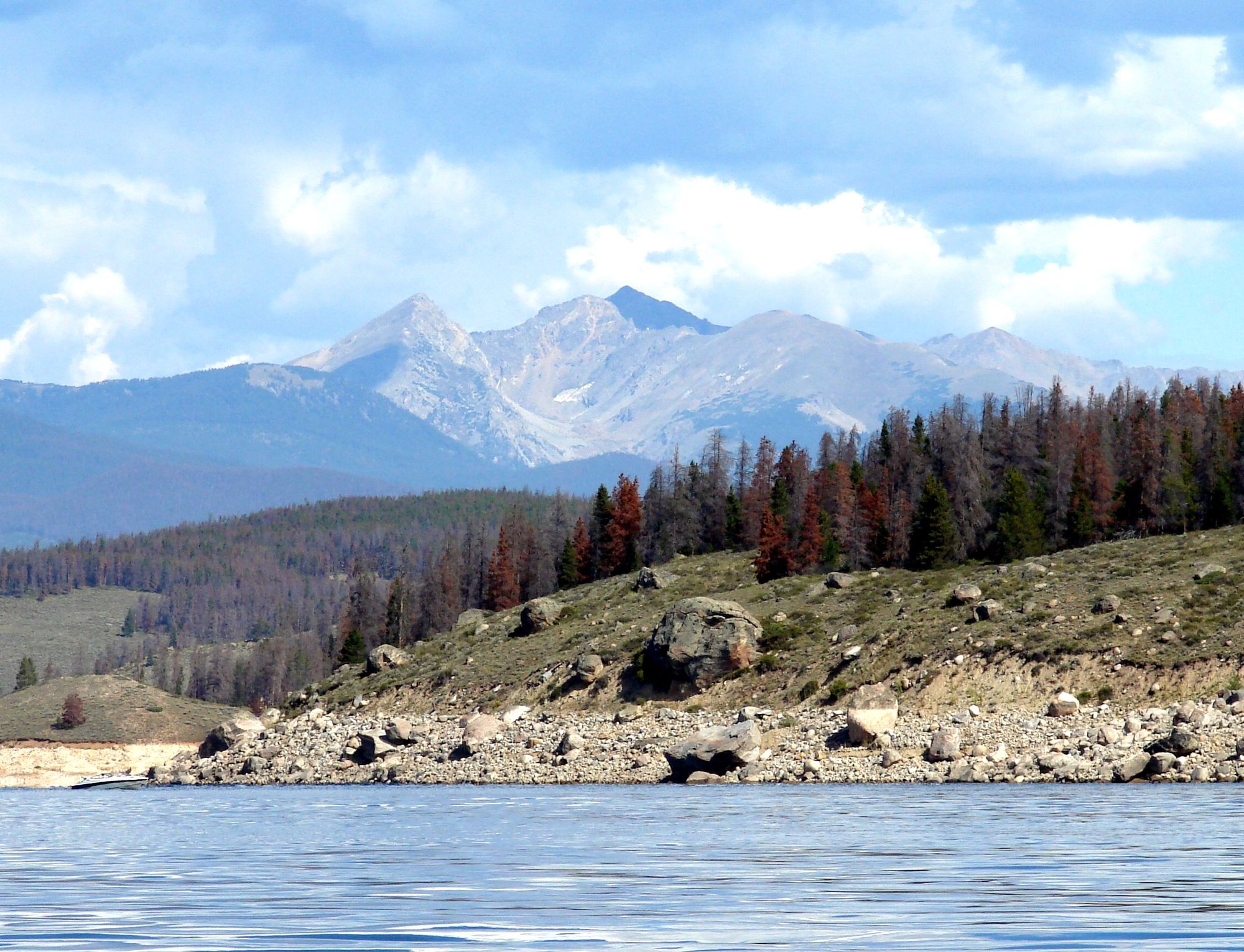
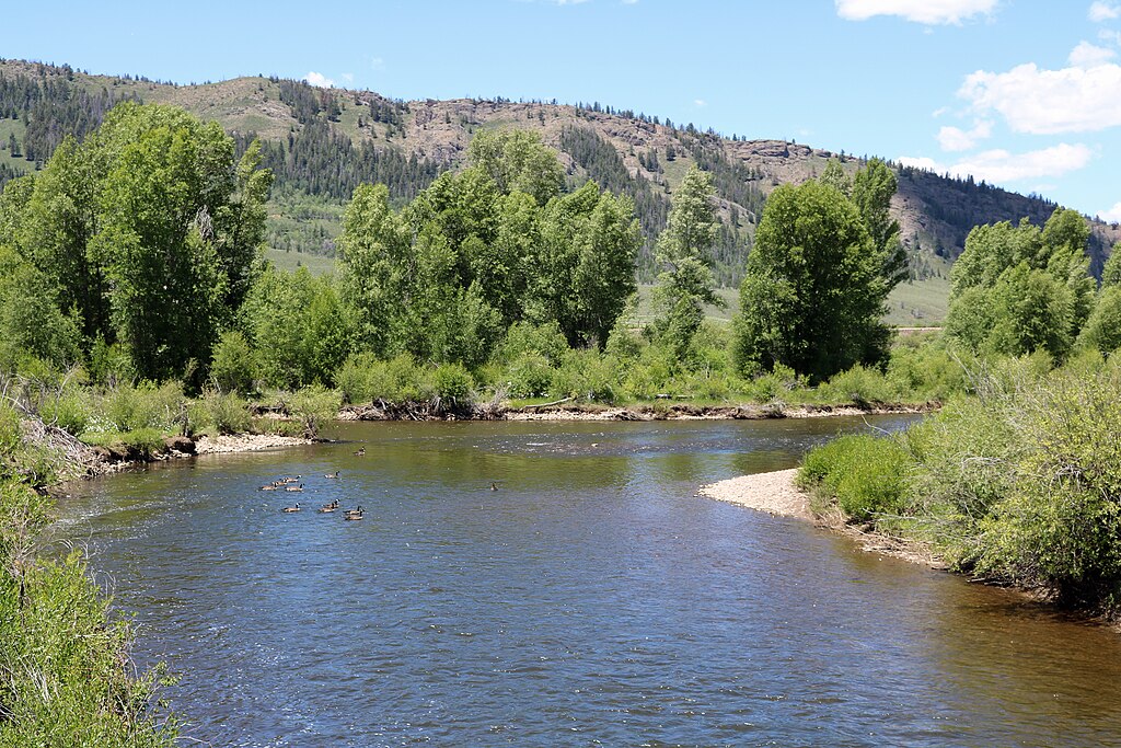
The river corridor supports a variety of Rocky Mountain flora and fauna, including evergreen forests, willows, and the occasional glimpse of deer or elk. The surrounding peaks of the Tenmile Range provide a stunning backdrop.
Key access points include the put-in off Montezuma Road and the take-out at the Snake River inlet to Dillon Reservoir. The nearby town of Keystone serves as the primary gateway for paddlers, offering amenities and accommodations.
Safety is paramount on the Snake River. Its cold, fast-moving water and technical rapids demand respect and proper equipment. Paddlers should scout rapids, especially the two river-wide logs, and be prepared for swift rescue scenarios. Local regulations may require the use of personal flotation devices.
While primarily a day-trip destination, the Snake River's proximity to other Summit County waterways like the Blue River and Ten Mile Creek allows for multi-day paddling adventures in the area for those seeking extended whitewater experiences.
Curated routes
Hand-picked by the PaddleWays team, with put-ins, take-outs, paddle times and the hazards along the way.
RouteClass IV
Hazards
No hazards are marked on Snake River yet. That is not the same as none being there: if you find one, report it for the next paddler.
From the community
Nobody has shared a trip on Snake River yet. Paddle it, then tell the next paddler how it went.
See exactly where the public can get on and off the river. Launch points and boat ramps are paired with PaddleWays' public land data so you know where you can legally land.
Public shoreline
63%of the river's shoreline is public
Flows, weather and a route-by-route verdict, so you know which stretch of the Snake River is worth paddling today.
All Flow Stations
Live flows, marked hazards and fresh trip reports from paddlers who were just on the water, all in one place.





Every user gets free access to launch points, boat ramps, and public property parcels.
Loading popular cities...
PaddleWays gives you everything you need to plan smarter, paddle better, and own every trip from first launch to takeout.