South Fork Cache la Poudre River
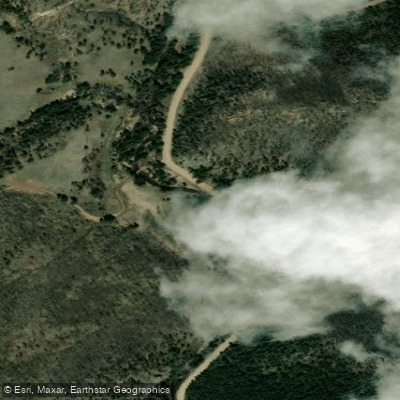
South Fork Cache la Poudre River
- Boat Ramps
- 0
- Access Points
- 0
- Campsites
- 34
The South Fork Cache la Poudre River is a challenging whitewater tributary of the main Cache la Poudre River in northern Colorado. Originating high in the Rocky Mountains near Cameron Pass, it flows northeast for approximately 25 miles before joining the main stem of the Cache la Poudre west of Fort Collins. This river offers some of the most technical paddling in the state, with sections ranging from Class III to V+. The upper reaches, including the notorious Upper Narrows, are extremely hazardous and recommended only for expert kayakers. The Middle and Lower Narrows provide intense Class IV-V rapids, while downstream sections like Fish Creek to Main Fork offer slightly more moderate Class IV paddling.
Key whitewater runs include: - Upper Narrows (Class V+): Extremely dangerous with numerous portages - Middle Narrows (Class IV): Continuous technical rapids - Lower Narrows (Class IV-V): Punchy holes and challenging rapids - Fish Creek to Main Fork (Class IV-V): 12.5 miles of challenging whitewater - Home Moraine to Indian Meadows (Class III-IV): 9.5 miles, good intermediate run
The paddling season typically runs from late May through July, depending on snowmelt. Flows can be intense during peak runoff, making for powerful and dangerous conditions. Late summer often sees lower, more technical water levels.
The river flows through a scenic canyon in Roosevelt National Forest, surrounded by pine and spruce forests home to wildlife like bighorn sheep, black bears, and mule deer. Key landmarks include the Fish Creek Trailhead, Sky Ranch, and various Forest Service campgrounds along the route. Main access points are located off Highway 14 west of Fort Collins. The small community of Rustic provides a midpoint stop.
Paddlers should be aware of wood hazards, especially in the upper sections, and always scout unfamiliar rapids. A whitewater park in Fort Collins offers a more controlled environment for skill-building.
The South Fork played a role in the region's logging history, with remnants of old flumes still visible in places. Today, it's valued for its wild character and challenging paddling, attracting skilled kayakers from around the country to test their mettle on its rapids.
For those seeking multi-day adventures, camping options exist along the river corridor, though most runs are typically done as day trips due to the intensity of the whitewater. Paddlers attempting longer journeys should be well-prepared for self-rescue and wilderness camping.
Water access, boat ramps & amenities
Learn how to get on South Fork Cache la Poudre River. Uncover great paddling access points, boat ramps, and all the facilities you need for an unforgettable day on the water. Some locations shown may border or include private property. Always check property boundaries and applicable regulations before visiting. PaddleWays's Public & Private Land layer can help you plan your access with confidence.
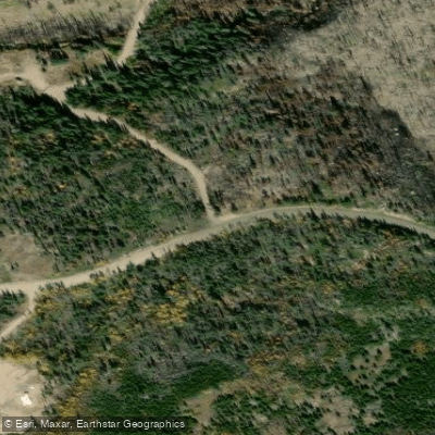
Tom Bennett Campground
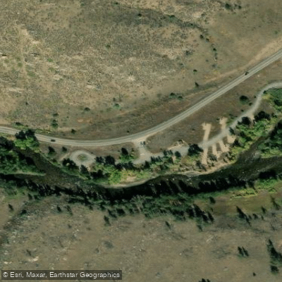
Dutch George Campground
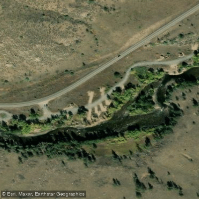
Dutch George National Forest campground
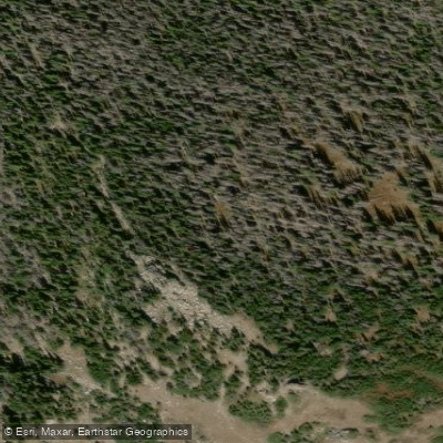
Stormy Peaks North Campground
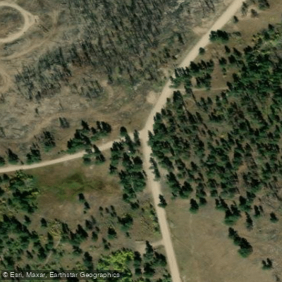
Jacks Gulch Campground
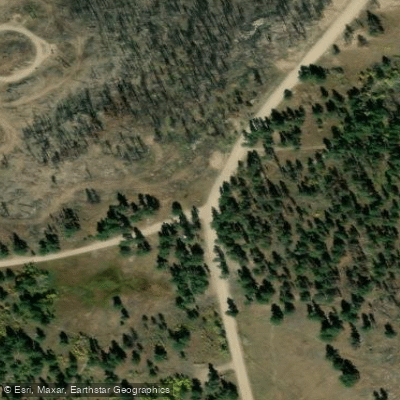
Jacks Gulch Group Campground
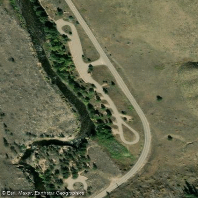
Narrows Campground
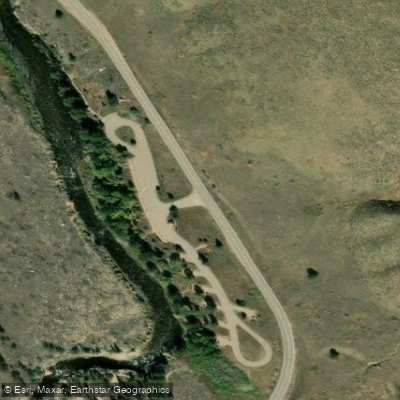
Narrows Campground
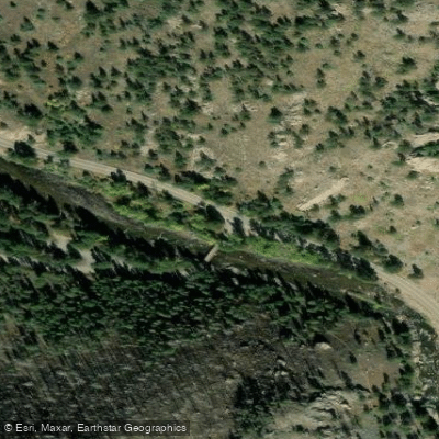
Mountain Park Group Campground
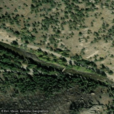
Mountain Park Campground
Paddle smarter with real-time insights
Whether you're en route and conditions shift or you're looking for the best spot based on current flows, we enable you to make informed decisions on the fly.








Find Places to Paddle

Over 400,000 Places to Paddle
Every user gets free access to launch points, boat ramps, and public property parcels.


Water and weather conditions (10 day forecast)
See the best times to paddle South Fork Cache la Poudre River and check the forecast before you go.
SOUTH FORK CACHE LA POUDRE BELOW JACKS GULCH
Paddling near South Fork Cache la Poudre River
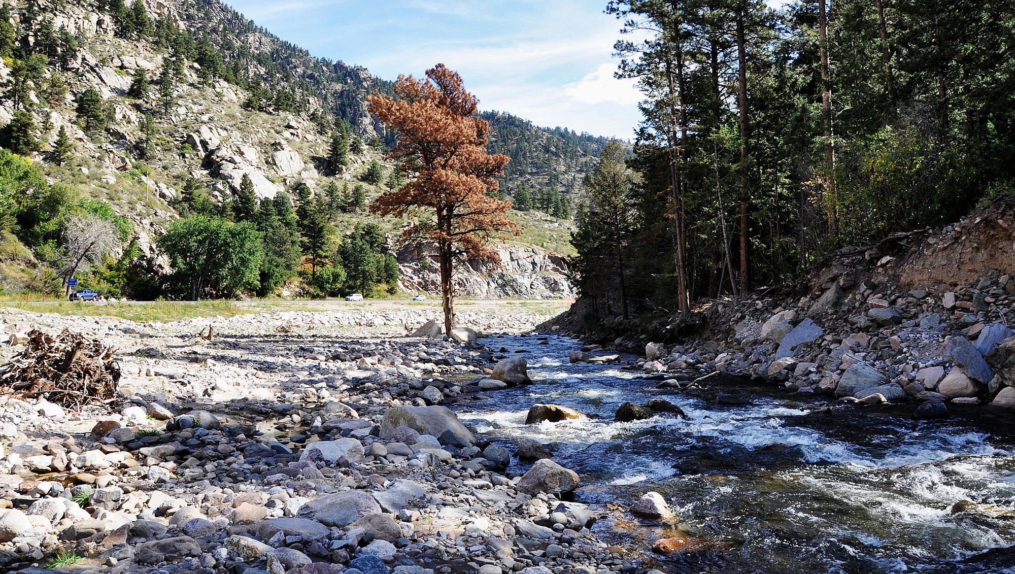
Big Thompson River

Colorado River
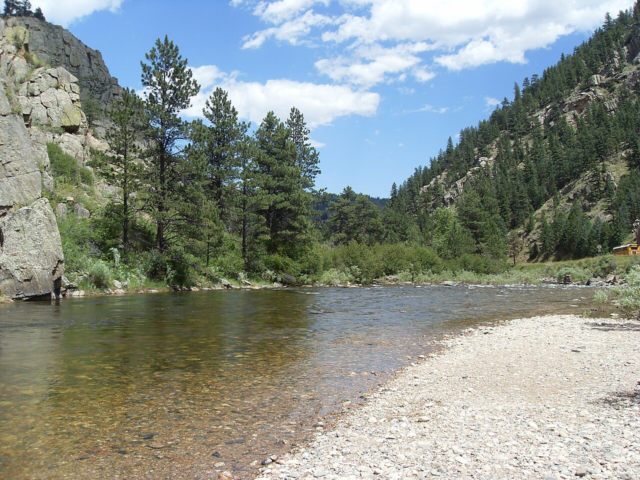
Cache la Poudre River
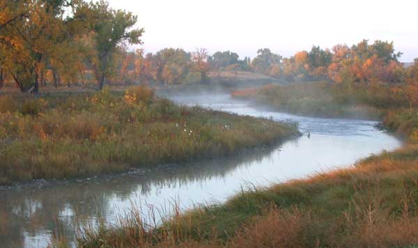
Laramie River
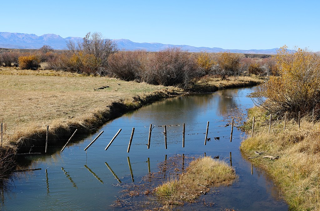
Michigan River
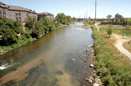
South Platte River
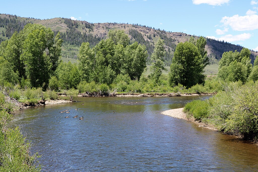
Fraser River
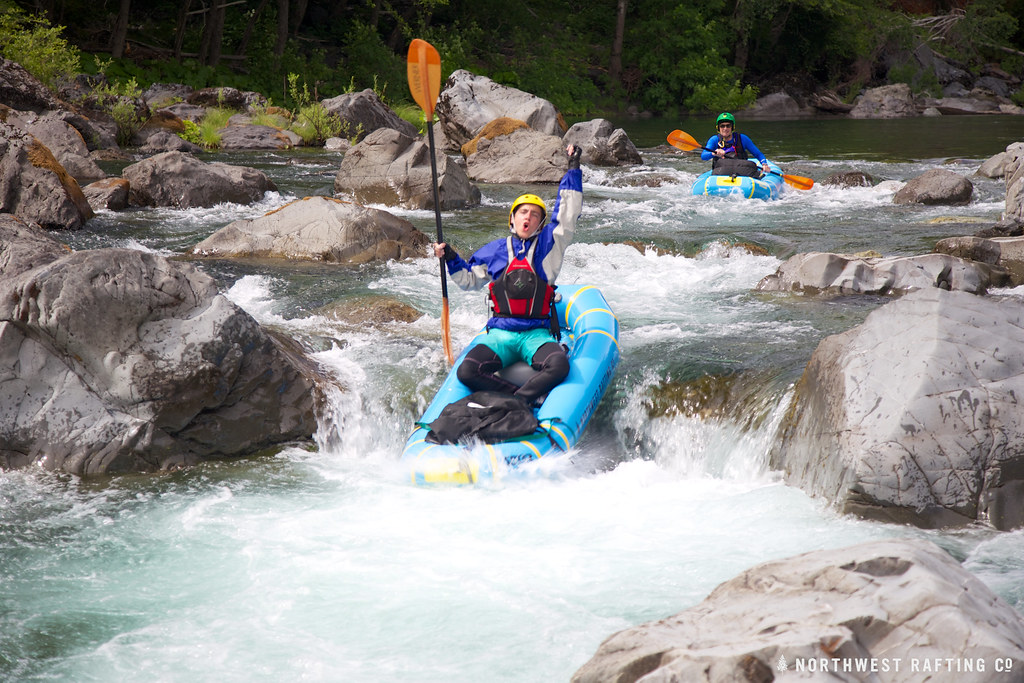
Boulder Creek
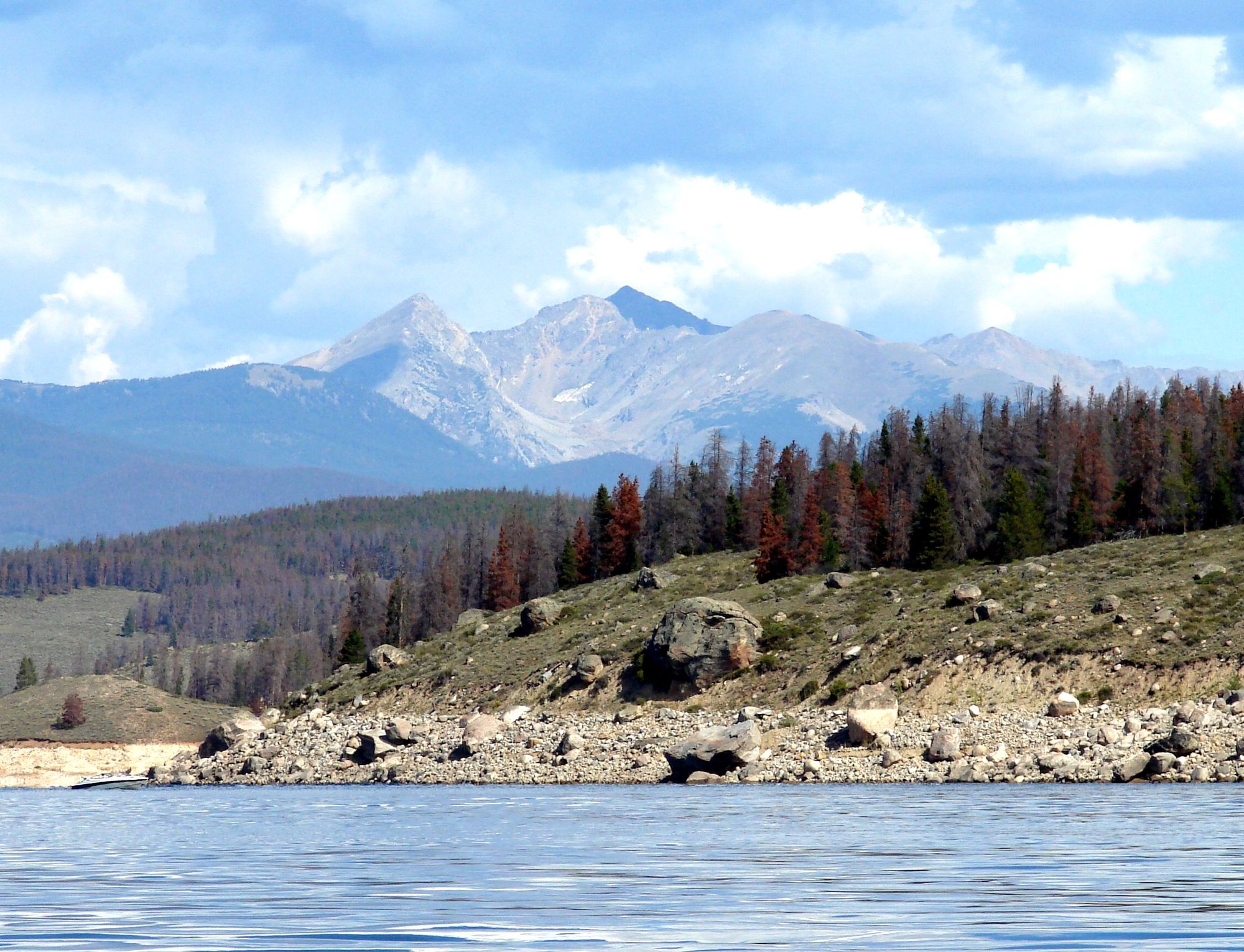
Lake Granby
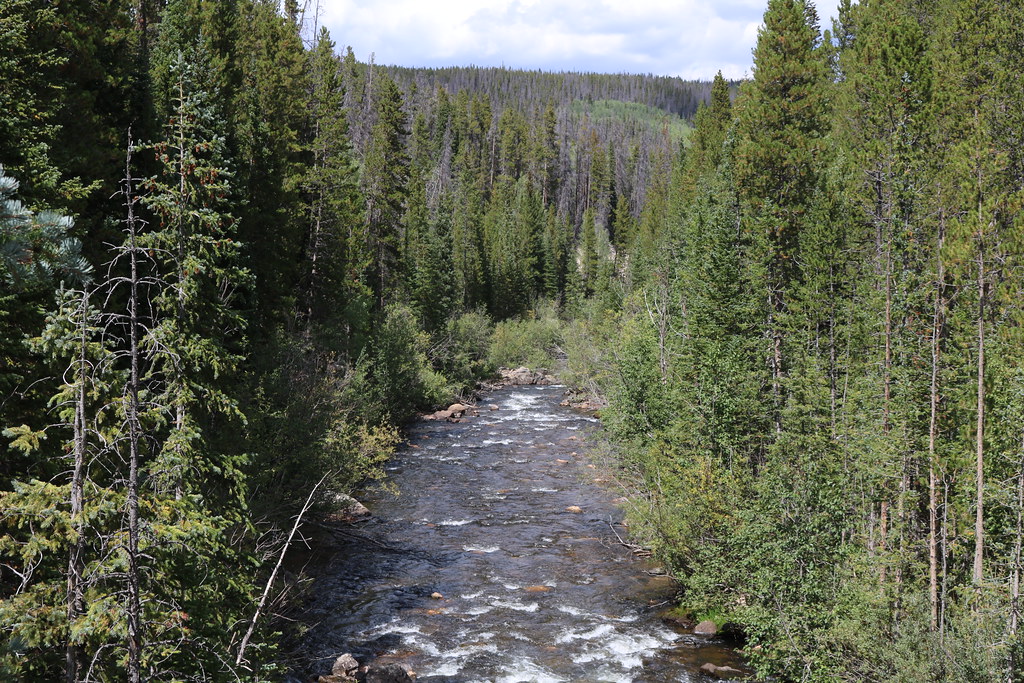
Joe Wright Creek
Explore Colorado waters
Top paddling waters
Popular Cities
Loading popular cities...
Explore near South Fork Cache la Poudre River
Access points
- Tom Bennett Campground
- Dutch George Campground
- Dutch George National Forest campground
- Stormy Peaks North Campground
- Jacks Gulch Campground
- Jacks Gulch Group Campground
- Narrows Campground
- Narrows Campground
- Mountain Park Group Campground
- Mountain Park Campground
- Mountain Park Campground
- Travel Zone 2 Campground
- All 36 spots
Nearby waters
More in Colorado

Smarter Paddling Starts in the App.
Paddleways gives you everything you need to plan smarter, paddle better, and own every trip from first launch to takeout.