Curated by PaddleWays
RouteClass V
- Distance
- 5.9 mi
- Paddle time
- ~1.5 hrs
- Best for
- Experienced paddlers
- Put-in → take-out
- Ceran Saint Vrain Trailhead Access → South Saint Vrain Drive
Class V+ whitewater, expert paddlers only
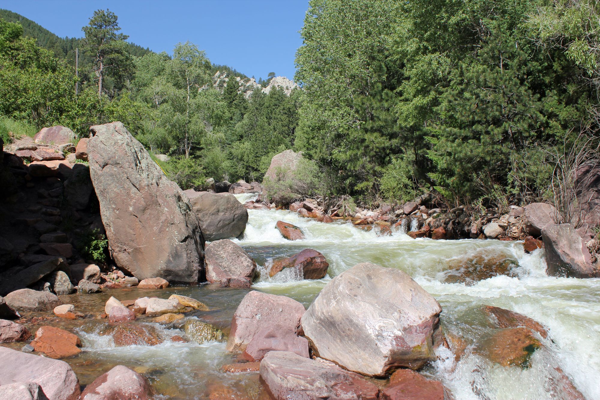
The South Saint Vrain Creek is a scenic and challenging waterway that flows through the Front Range of Colorado. Originating high in the Indian Peaks Wilderness, this creek tumbles eastward through steep canyons before joining with the Middle Saint Vrain Creek near the town of Lyons to form the main stem of Saint Vrain Creek. The South Saint Vrain ultimately contributes to the South Platte River watershed.
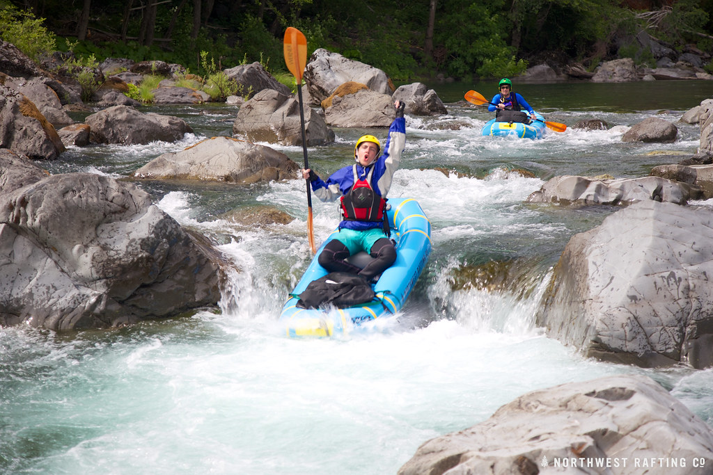
Paddling opportunities on the South Saint Vrain range from extreme whitewater in its upper reaches to more moderate runs closer to Lyons. The upper section, known as the Upper SSV, begins at Ceran St. Vrain Trailhead and offers 5.5 miles of intense Class V+ whitewater suitable only for expert kayakers. This remote run features continuous technical rapids and significant drops through a pristine mountain setting. Downstream, the Narrows to 1 in 5 Rapids section provides another 5 miles of demanding Class V+ paddling. This stretch pushes the limits of even highly skilled kayakers with its relentless series of difficult drops and maneuvers. The run culminates at the notorious 1 in 5 Rapid.
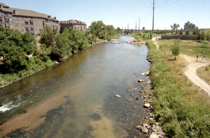
For intermediate paddlers, the South Saint Vrain Narrows offers a unique 1.9-mile section of Class III-IV whitewater. This run features a series of short drops and deep pools through a narrow canyon, creating a distinctive canyoneering-like experience. As the creek approaches Lyons, it becomes more suitable for less experienced paddlers. The popular Apple Valley Run provides a scenic 3-mile Class II+ float from Apple Valley bridge to the Lyons play park, ideal for tubers and beginner kayakers.
The South Saint Vrain's flow is highly seasonal, with the best paddling typically occurring during the spring snowmelt from May to early July. Late summer and fall often see lower water levels more suitable for tubing and easier kayaking near Lyons.
Wildlife along the creek includes deer, elk, and various bird species. The surrounding landscape transitions from alpine forests in the upper reaches to more open foothill terrain near Lyons.
Key access points include the Ceran St. Vrain Trailhead for the upper section, various points along Highway 7 for the middle reaches, and Apple Valley Road for the lower section near Lyons. The town of Lyons serves as the primary gateway for most paddlers accessing the creek.
Safety is paramount on the South Saint Vrain, particularly in the challenging upper sections. Paddlers should be aware of rapidly changing water levels and potential hazards such as strainers and undercut rocks. Local regulations in Lyons include a flag system indicating water conditions and safety for recreational use.
While primarily used for day trips, the variety of sections on the South Saint Vrain Creek allows for the possibility of multi-day adventures for those willing to arrange shuttles and camping logistics.
Curated routes
Hand-picked by the PaddleWays team, with put-ins, take-outs, paddle times and the hazards along the way.
RouteClass V
Hazards
No paddler has reported a hazard here yet, so these are the dams, falls and big rapids on our map. Hazards change with flows and storms, so check them before you launch.
From the community
Nobody has shared a trip on South Saint Vrain Creek yet. Paddle it, then tell the next paddler how it went.
See exactly where the public can get on and off the river. Launch points and boat ramps are paired with PaddleWays' public land data so you know where you can legally land.
Public shoreline
72%of the river's shoreline is public
Flows, weather and a route-by-route verdict, so you know which stretch of the South Saint Vrain Creek is worth paddling today.
All Flow Stations
Live flows, marked hazards and fresh trip reports from paddlers who were just on the water, all in one place.





Every user gets free access to launch points, boat ramps, and public property parcels.
Loading popular cities...
PaddleWays gives you everything you need to plan smarter, paddle better, and own every trip from first launch to takeout.