Tarryall Creek
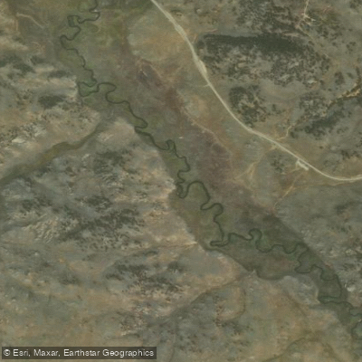
Tarryall Creek
- Boat Ramps
- 0
- Access Points
- 4
- Campsites
- 8
Tarryall Creek is a picturesque mountain stream in central Colorado, originating on the slopes of Mount Silverheels (13,823 ft) in Park County. The creek flows southeast through South Park, a high-altitude grassland basin, before joining the South Platte River. This tributary of the South Platte stretches approximately 20-25 miles, forming an important part of the Upper South Platte watershed.
Paddling opportunities on Tarryall Creek are limited but diverse. The upper sections are primarily known for excellent fly fishing rather than paddling, characterized by small to medium-sized flows and heavy brush. The Middle Boxes section, located above the carry all stretch, offers an exploratory paddling experience with Class III-IV rapids and a short gorge, best attempted by experienced whitewater enthusiasts in early summer when flows are suitable. Tarryall Reservoir, formed by damming the creek, provides a serene flatwater paddling destination. Located about 86 miles southwest of Denver at an elevation of around 9,000 feet, the reservoir offers scenic views of the surrounding Pike National Forest. Canoeing and kayaking are popular here, with multiple easy access points around the shoreline.
The creek's flow is highly seasonal, with peak runoff typically occurring in late spring to early summer. Late summer and early fall offer more stable conditions for fishing and gentler paddling. The area supports diverse wildlife, including brown and rainbow trout in the creek and reservoir, as well as pike in Tarryall Reservoir. Key landmarks include the Tarryall Reservoir State Wildlife Area, which provides camping facilities and fishing access. Below the reservoir, the Tarryall Land and Cattle Ranch section offers some of the best dry fly fishing in Colorado, though access may be restricted.
Access to various sections of Tarryall Creek can be found near the towns of Jefferson and Fairplay. The creek and reservoir are reached via County Road 77 (Tarryall Road) off US Highway 24. Historically, the Tarryall area was part of the gold rush territory in the 1800s. Today, it's valued for its recreational opportunities and as an important water source in the arid Colorado landscape.
Safety considerations include rapidly changing mountain weather, potential for high water during spring runoff, and the remote nature of some sections. Paddlers should be aware of fishing regulations and respect private property boundaries along the creek. While multi-day paddling trips are not common on Tarryall Creek itself, the area offers opportunities for extended stays combining paddling on the reservoir with fishing or hiking in the surrounding national forest.
Water access, boat ramps & amenities
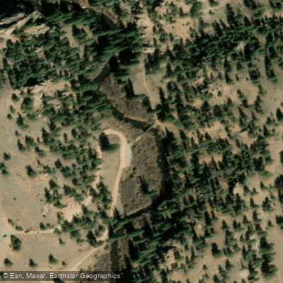
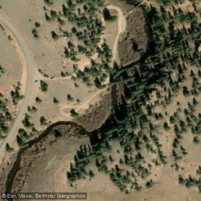
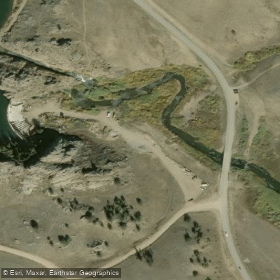
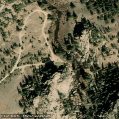
Learn how to get on Tarryall Creek. Uncover great paddling access points, boat ramps, and all the facilities you need for an unforgettable day on the water. Some locations shown may border or include private property. Always check property boundaries and applicable regulations before visiting. PaddleWays's Public & Private Land layer can help you plan your access with confidence.
Paddle smarter with real-time insights
Whether you're en route and conditions shift or you're looking for the best spot based on current flows, we enable you to make informed decisions on the fly.








Find Places to Paddle

Over 400,000 Places to Paddle
Every user gets free access to launch points, boat ramps, and public property parcels.


Water and weather conditions (10 day forecast)
See the best times to paddle Tarryall Creek and check the forecast before you go.
TARRYALL CREEK AT UPPER STATION NEAR COMO, CO
All Flow Stations
Paddling near Tarryall Creek
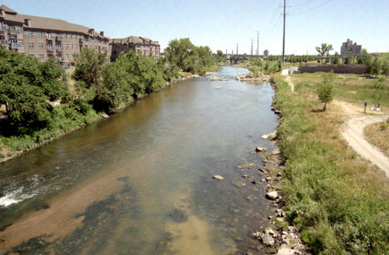
South Platte River
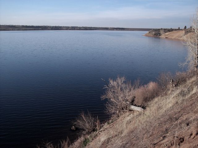
Chatfield Lake
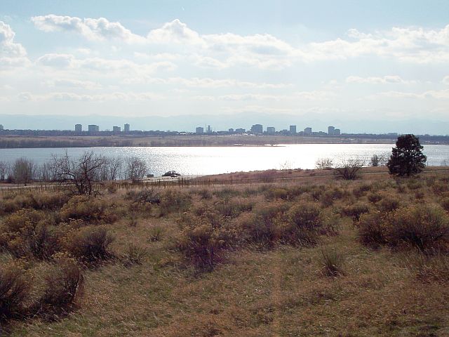
Cherry Creek Lake
Clear Creek
Cherry Creek
Boulder Creek
South Boulder Creek
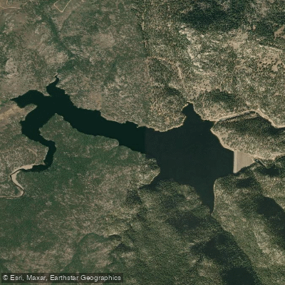
Button Rock Reservoir
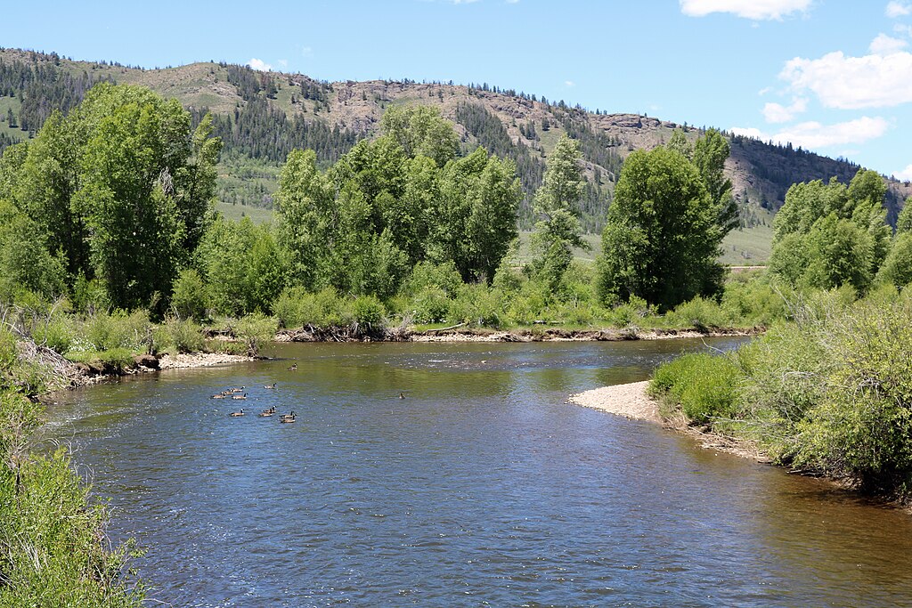
Fraser River
Explore Colorado waters
Top paddling waters
Popular Cities
Loading popular cities...
Explore near Tarryall Creek
Access points
Nearby waters
More in Colorado

Smarter Paddling Starts in the App.
Paddleways gives you everything you need to plan smarter, paddle better, and own every trip from first launch to takeout.