Curated by PaddleWays
RouteClass III–V
- Distance
- 1 mi
- Paddle time
- ~0.5 hrs
- Best for
- Kayak
- Put-in → take-out
- Tenmile Trailhead Frisco Whitewater Park Launch → Walter Byron Memorial Park
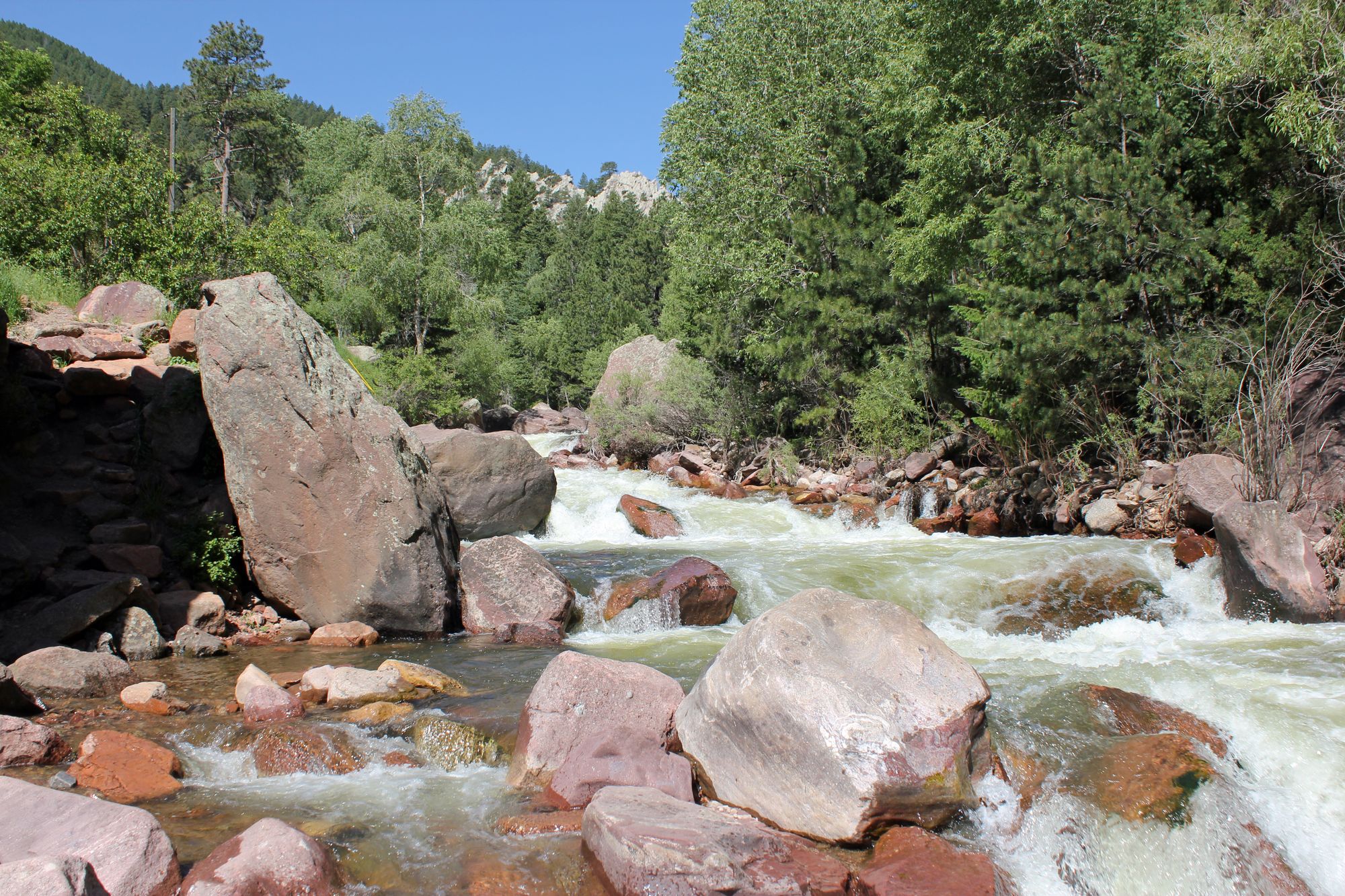
Class IV and V sections above the park
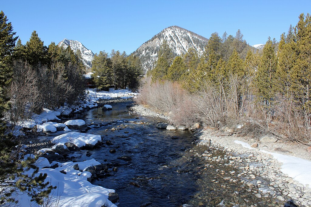
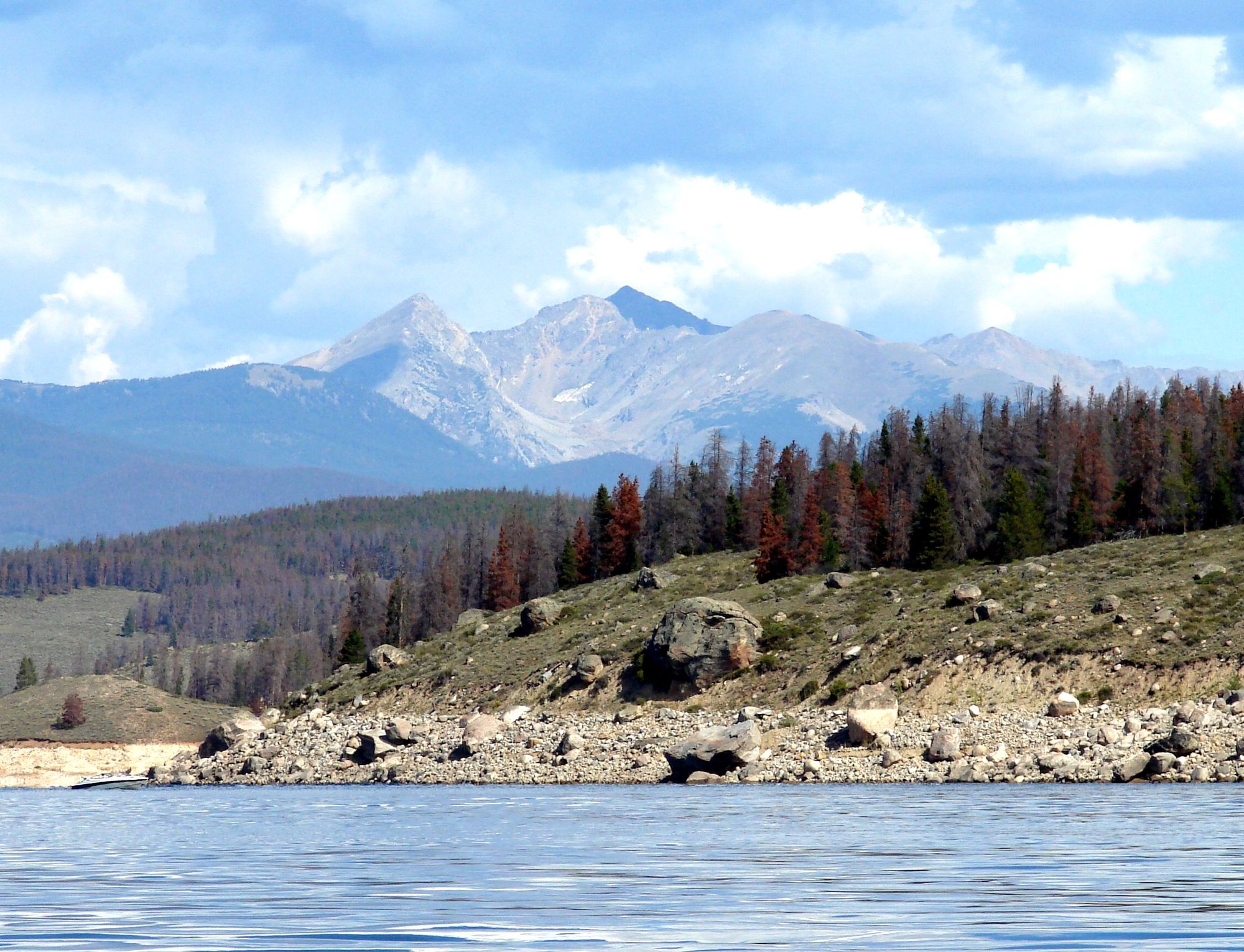
Tenmile Creek originates high in the Tenmile Range near Vail Pass at approximately 10,600 feet elevation, flowing northward through Summit County for roughly 15 miles before emptying into Dillon Reservoir near Frisco. The creek drains a glacially-carved valley between the Tenmile Range to the west and the Continental Divide to the east, creating a narrow corridor that Interstate 70 follows for much of its length.
The creek offers a brief but intense whitewater kayaking season, typically running from late May through early June during peak snowmelt. Flows can reach 1,000 cubic feet per second or higher in exceptional years, though the season rarely extends beyond three to four weeks. The most notable paddling section runs from Officer's Gulch to the Frisco Bay Marina, covering approximately six miles of Class IV rapids characterized by tight channels, technical maneuvering, and numerous obstacles including fallen trees and beaver dams. The creek's shallow, constricted nature demands precise boat control and swift decision-making.
A recreational kayak park in downtown Frisco provides year-round paddling opportunities for freestyle and play boating when flows permit. This engineered feature has become a gathering spot for the local paddling community, offering convenient access just steps from Main Street.
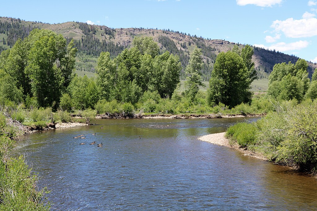
The Tenmile Creek corridor supports typical montane riparian vegetation including narrowleaf cottonwood, thinleaf alder, and extensive willow carrs dominated by planeleaf willow and Drummond's willow. These wetland communities provide critical habitat for the southern Rocky Mountain boreal toad, a globally imperiled species with documented breeding populations along the creek. The waterway also supports populations of brook, brown, rainbow, and Colorado River cutthroat trout, though fish sizes remain modest.
Primary access points include Officer's Gulch along Interstate 70, the Frisco kayak park at Exit 201, and various points along Highway 91 near Copper Mountain. The Tenmile-Vail Pass National Recreation Trail parallels portions of the creek, providing hiking and mountain biking access through the riparian corridor.
Historical mining activity heavily impacted the watershed, with dredging operations and tailings visible throughout the valley. The creek's hydrology has been significantly altered by Clinton Reservoir and various diversions, though natural flow patterns during spring runoff remain dominant.
Paddlers face substantial hazards including cold water temperatures, unpredictable log jams, and rapidly changing flows. The tight, technical nature of the creek leaves little room for error, and rescue options are limited in many sections. Local knowledge is essential, as conditions can shift dramatically from season to season based on snowpack and vegetation changes.
Curated routes
Hand-picked by the PaddleWays team, with put-ins, take-outs, paddle times and the hazards along the way.
RouteClass III–V
RouteClass II–III
Hazards
No hazards are marked on Tenmile Creek yet. That is not the same as none being there: if you find one, report it for the next paddler.
From the community
Nobody has shared a trip on Tenmile Creek yet. Paddle it, then tell the next paddler how it went.
See exactly where the public can get on and off the river. Launch points and boat ramps are paired with PaddleWays' public land data so you know where you can legally land.
Public shoreline
70%of the river's shoreline is public
Flows, weather and a route-by-route verdict, so you know which stretch of the Tenmile Creek is worth paddling today.
All Flow Stations
Live flows, marked hazards and fresh trip reports from paddlers who were just on the water, all in one place.





Every user gets free access to launch points, boat ramps, and public property parcels.
Loading popular cities...
PaddleWays gives you everything you need to plan smarter, paddle better, and own every trip from first launch to takeout.