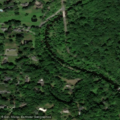
Curated by PaddleWays
RouteClass I–II
- Distance
- 9.3 mi
- Paddle time
- ~3 hrs
- Put-in → take-out
- Auburn State Park Access → Kirkwood Highway Access
Red Clay Creek is a scenic waterway that winds its way through southeastern Pennsylvania and northern Delaware, offering paddlers a pleasant journey through picturesque landscapes. This 12.7-mile-long tributary of White Clay Creek begins near Kennett Square, Pennsylvania, and meanders through the rolling hills and pastoral countryside before joining its larger cousin in Delaware.
The most popular paddling section on Red Clay Creek runs from Marshall Bridge Road to Route 41 in Delaware, covering a distance of 10.5 miles. This stretch is ideal for beginner to intermediate paddlers, featuring Class I-II rapids that provide a mild whitewater experience. The creek's gentle current, punctuated by small waves and riffles, makes it an excellent venue for honing basic paddling skills or enjoying a relaxing day on the water.
For those seeking a longer adventure, the full Red Clay Creek run from near Kennett Square to Route 41 offers an extended paddling experience through varied landscapes. This longer route allows paddlers to witness the transition from Pennsylvania's hilly terrain to Delaware's more gentle topography.
The creek is generally most enjoyable to paddle in spring and early summer when water levels are optimal. However, as with any small waterway, it's crucial to check current conditions before embarking on a trip, as water levels can fluctuate significantly with rainfall.
Red Clay Creek flows through a mix of woodlands, meadows, and agricultural areas, providing habitat for diverse wildlife. Paddlers may spot various bird species, including herons and kingfishers, as well as occasional deer or foxes along the banks. The surrounding vegetation changes with the seasons, offering beautiful spring blooms and vibrant fall foliage.
Several points of interest dot the creek's course. Auburn Valley State Park, located along the creek in Delaware, offers additional recreational opportunities and scenic views. The historic Ashland Covered Bridge, spanning Red Clay Creek since 1860, provides a glimpse into the area's past.
Access points are available at various locations, including Marshall Bridge Road and Route 41 in Delaware. The nearby towns of Kennett Square in Pennsylvania and Hockessin in Delaware serve as convenient bases for paddling trips, offering amenities and accommodations.
The Red Clay Creek watershed holds significant historical and cultural value, having played a role in the region's industrial development. Today, portions of the creek are under wildlife habitat protection, reflecting ongoing conservation efforts.
Safety considerations include being aware of potential strainers or low-hanging branches, especially after heavy rains. Paddlers should also be mindful of the several small dams along the creek, most of which are runnable at proper water levels but require caution.
While multi-day trips are less common due to the creek's relatively short length, ambitious paddlers could potentially combine a Red Clay Creek run with explorations of the nearby White Clay Creek or Brandywine Creek for a more extended adventure.
The Red Clay Creek offers a delightful paddling experience that showcases the natural beauty of the Pennsylvania-Delaware border region. Its accessibility and mild rapids make it an excellent choice for paddlers looking to enjoy a day on the water without venturing too far from the Philadelphia metropolitan area.
Curated routes
Hand-picked by the PaddleWays team, with put-ins, take-outs, paddle times and the hazards along the way.
RouteClass I–II
RouteClass I–II
Hazards
No paddler has reported a hazard here yet, so these are the dams, falls and big rapids on our map. Hazards change with flows and storms, so check them before you launch.
From the community
Nobody has shared a trip on Red Clay Creek yet. Paddle it, then tell the next paddler how it went.
See exactly where the public can get on and off the river. Launch points and boat ramps are paired with PaddleWays' public land data so you know where you can legally land.
Public shoreline
22%of the river's shoreline is public
Most of the riverbank is private. Launch, land and camp only at public access points.
Flows, weather and a route-by-route verdict, so you know which stretch of the Red Clay Creek is worth paddling today.
All Flow Stations
Live flows, marked hazards and fresh trip reports from paddlers who were just on the water, all in one place.





Every user gets free access to launch points, boat ramps, and public property parcels.


Loading popular cities...
PaddleWays gives you everything you need to plan smarter, paddle better, and own every trip from first launch to takeout.