Caitlyn S.
Kings landing
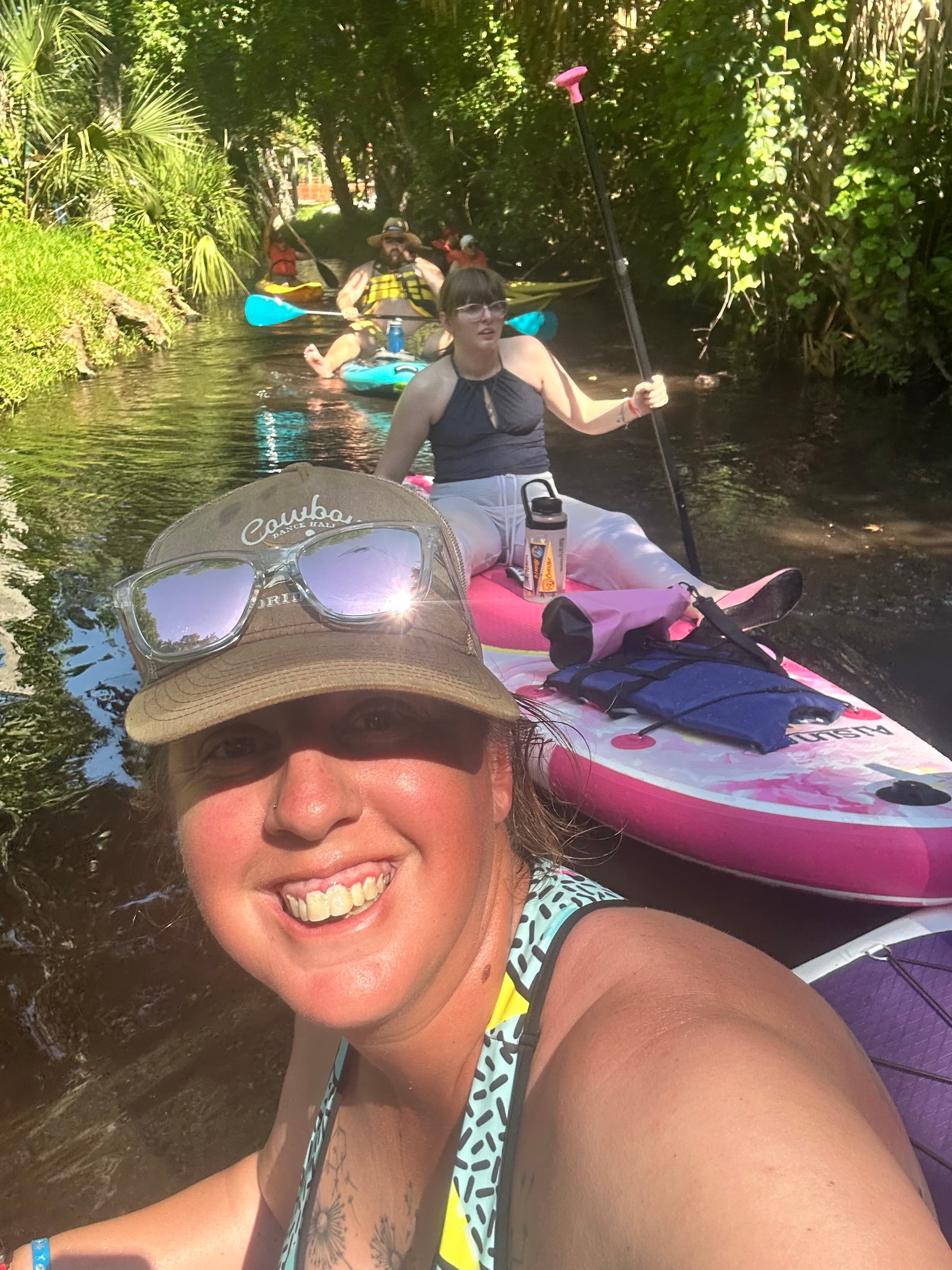
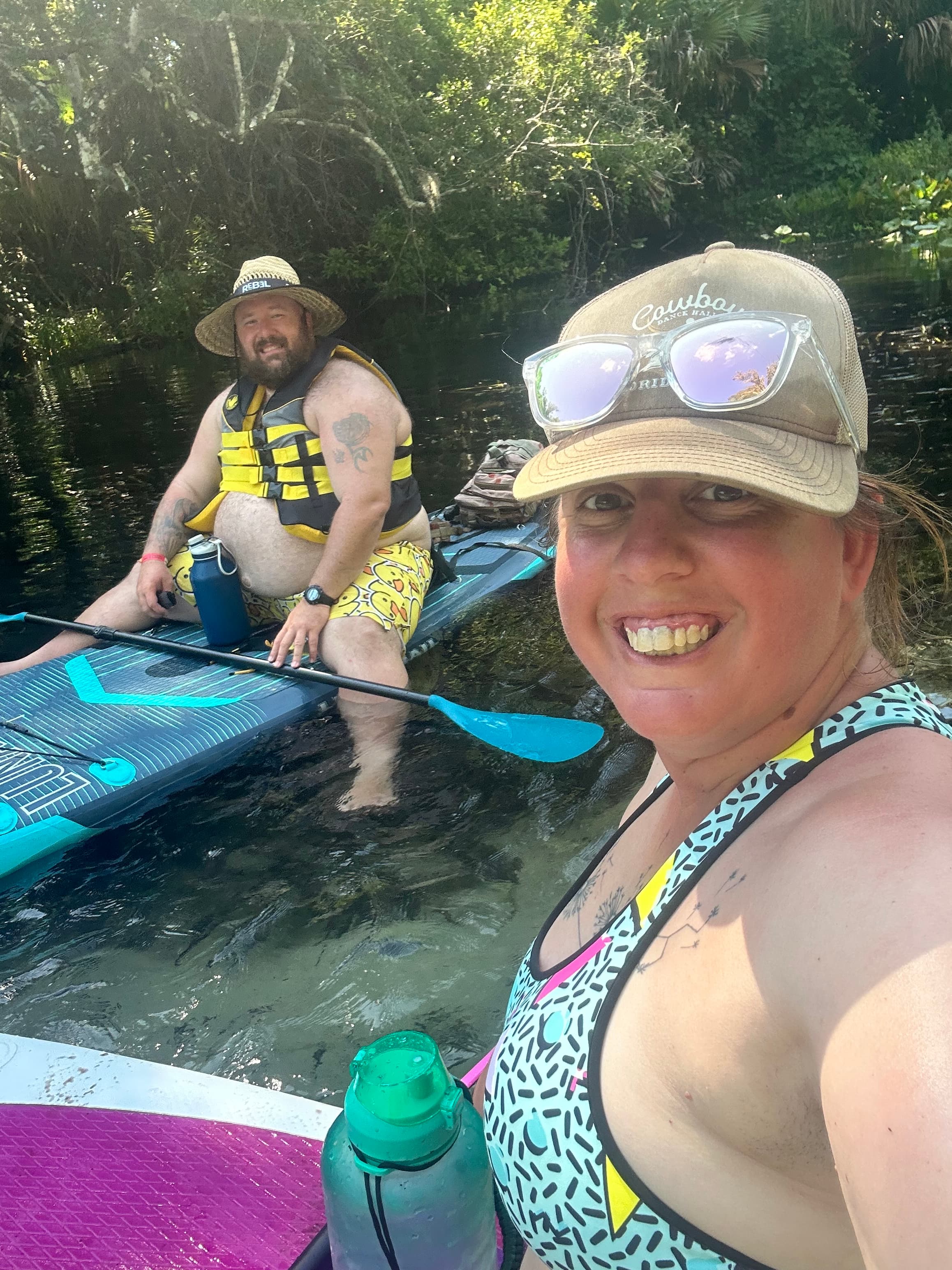
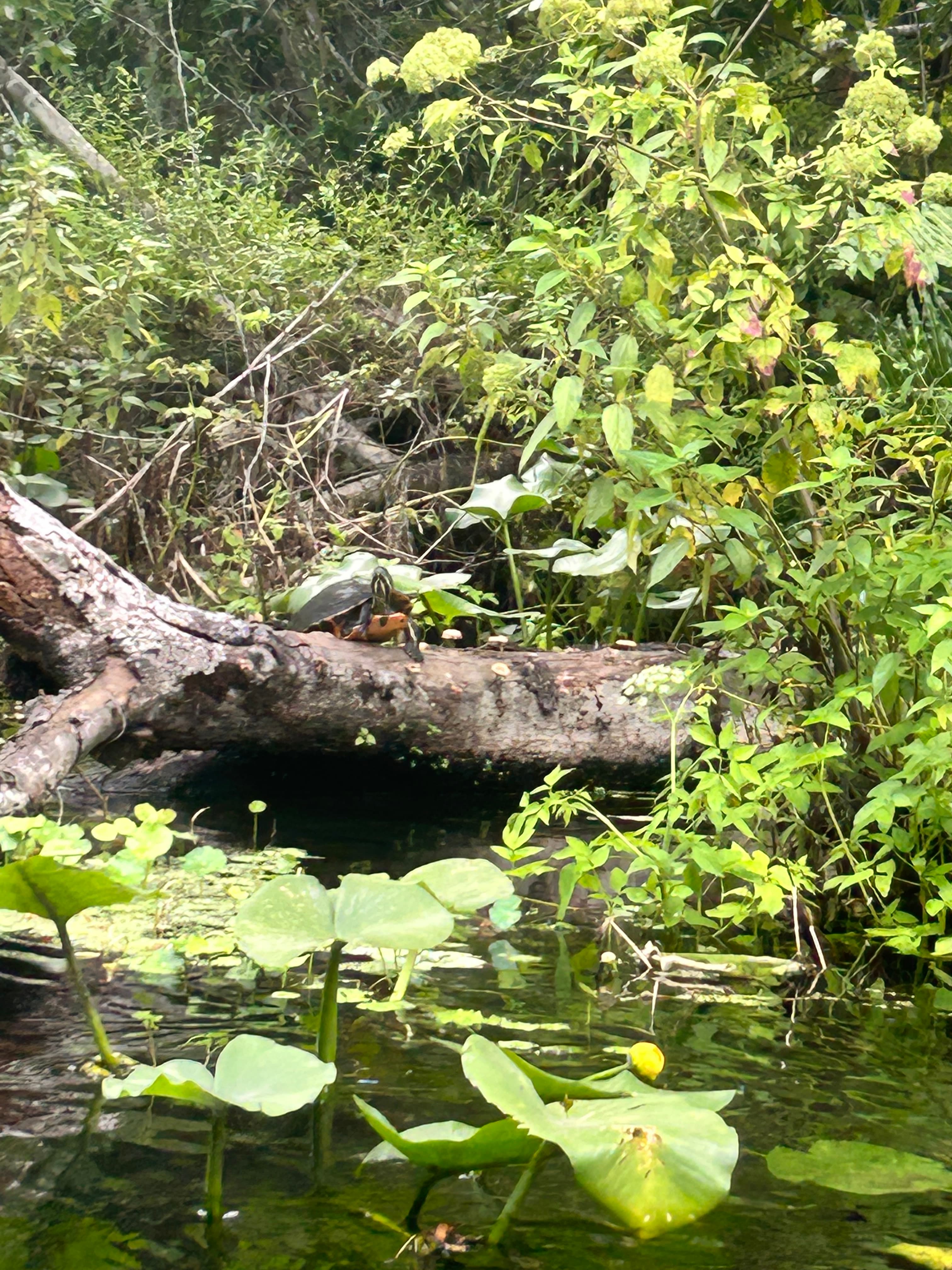 +1
Curated by PaddleWays
7.9 mi flatwater route on Rock Springs Run in Florida
Level right now
Route facts
About this route
Rock Springs Run is a popular paddling destination in central Florida, known for its crystal-clear spring-fed waters and scenic beauty. This 7.9-mile section is part of the Wekiva Paddling Trail and is designated as a National Wild and Scenic River.
The journey begins at King's Landing in Apopka and ends at Wekiva Island. Paddlers will experience pristine waters, lush vegetation, and diverse wildlife. King's Landing offers a shuttle service, arriving at Wekiva Island by 3:30 PM daily.
Note that late arrivals for the shuttle incur a significant fee ($100 per vessel per hour). The full run takes approximately 4.5 hours to complete, making it an excellent day trip for kayakers and canoeists.
Put-in and take-out
Hazards
No hazards are marked on Rock Springs Run yet. That is not the same as none being there: if you find one, report it for the next paddler.
From the community
Real trips from PaddleWays paddlers who ran this route: how the flows were, and what to watch for.
Loading trip reports
Caitlyn S.
Kings landing
+1
Shara & matt M.
1st Shuttle Run
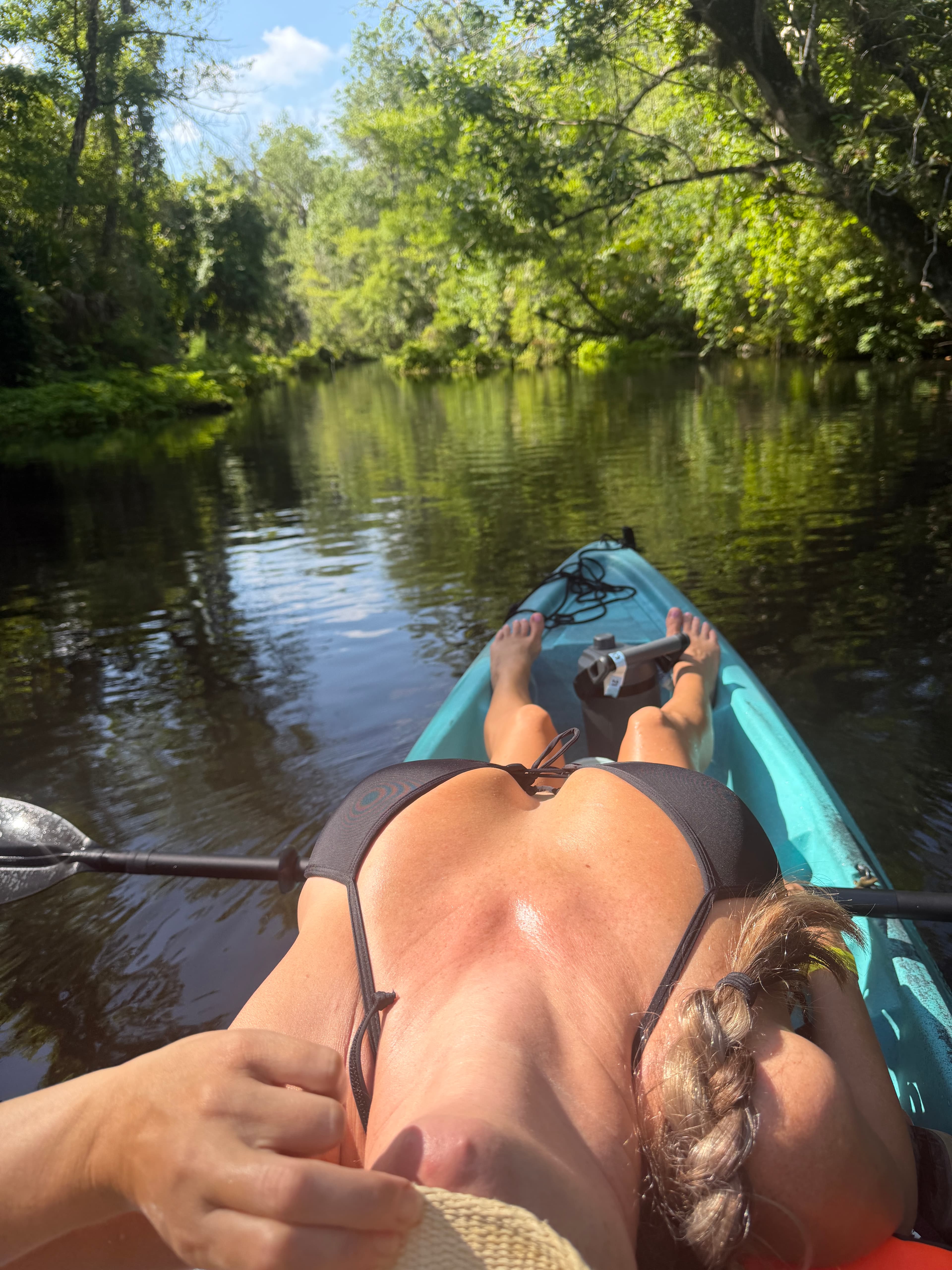
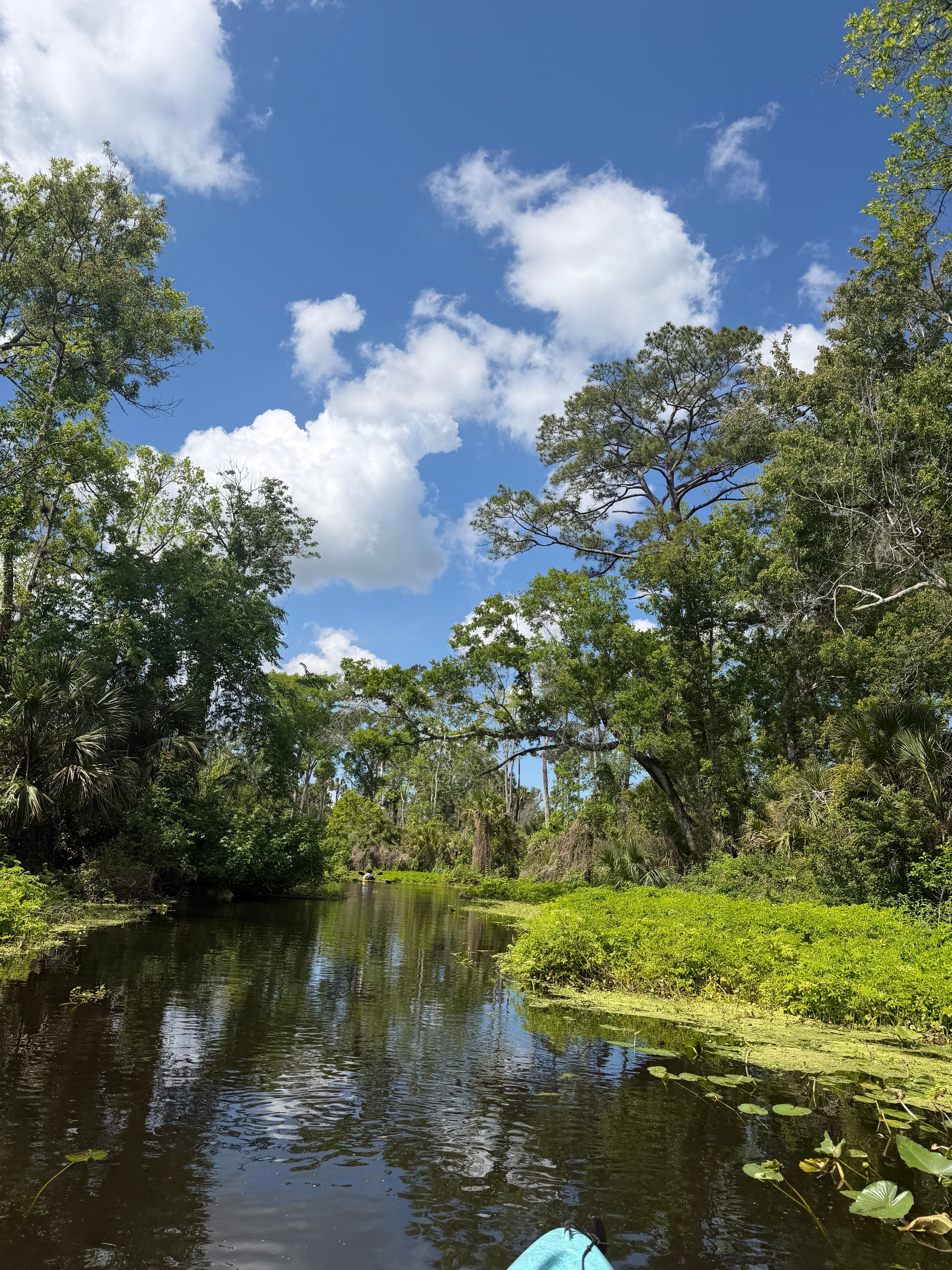
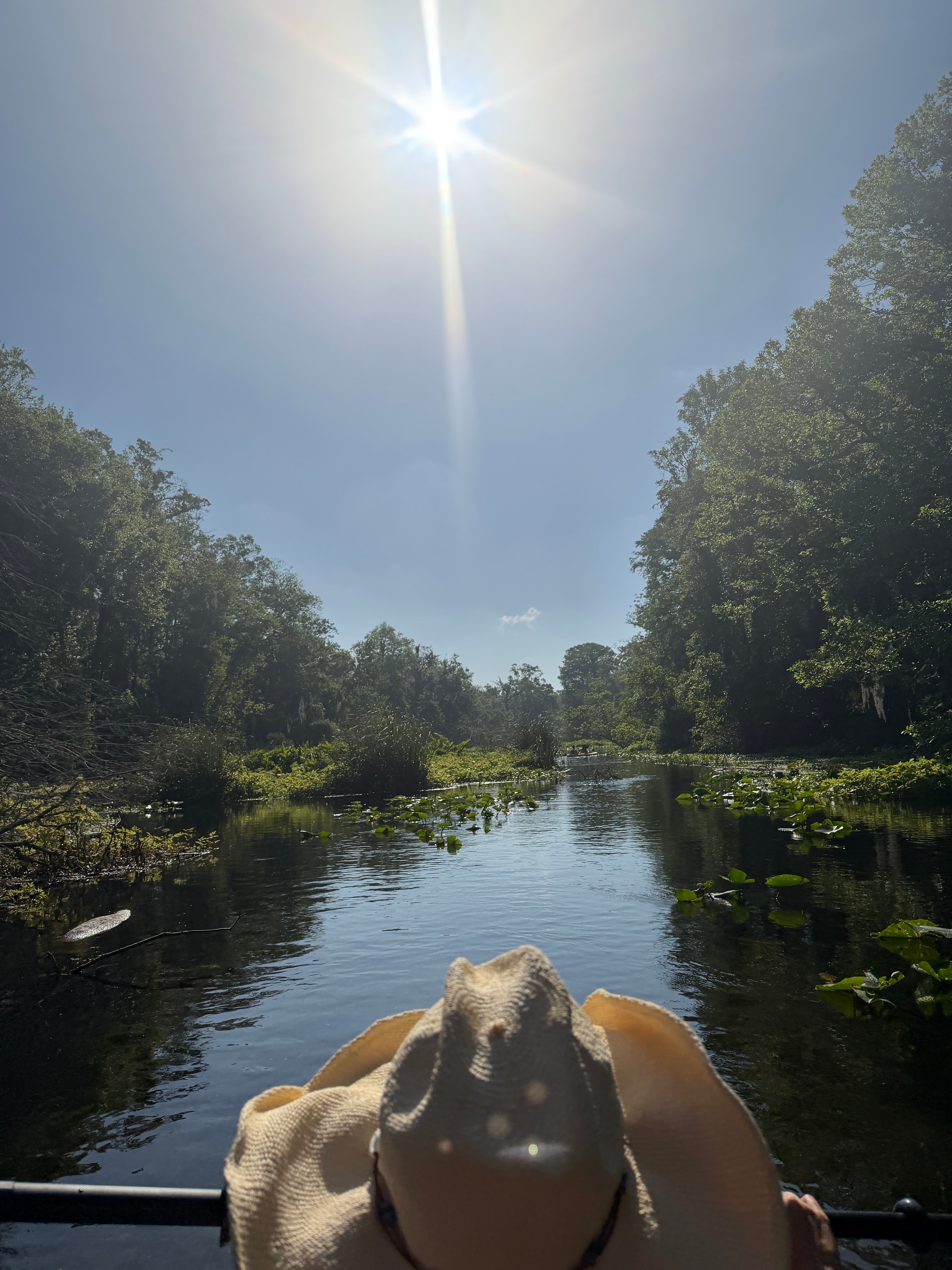 +2
The gauges near Rock Springs Run and the forecast where it starts, so you can pick your day.
No forecast data available.
Close by
Curated routes on other waters within an hour or so, nearest first.
on Wekiva River · 5 mi away
RouteFlatwater
RouteFlatwater
on Alexander Springs Creek · 21 mi away
RouteFlatwater
on Alexander Springs Creek · 21 mi away
RouteFlatwater
on Econlockhatchee River · 23 mi away
RouteFlatwater
on Econlockhatchee River · 25 mi away
RouteFlatwater
PaddleWays gives you everything you need to plan smarter, paddle better, and own every trip from first launch to takeout.
