Curated by PaddleWays
RouteFlatwater
- Distance
- 10.3 mi
- Paddle time
- ~3.5 hrs
- Put-in → take-out
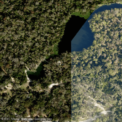
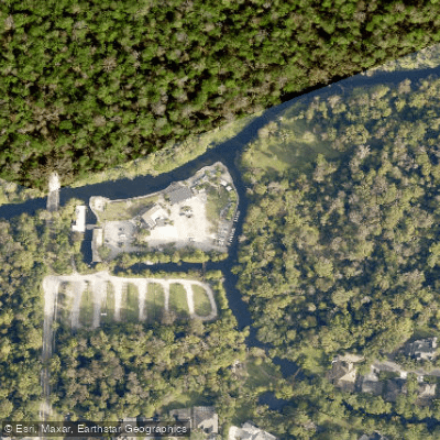
- Indian Mound Campground Access → Wilson's Landing Park - Canoe Landing
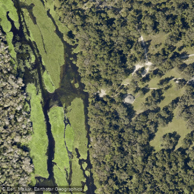
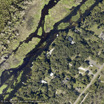
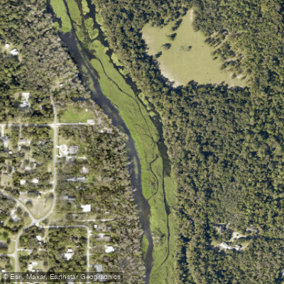
The Wekiva River flows 16 miles through Orange, Seminole, and Lake Counties in Central Florida, originating from the confluence of Wekiwa Springs Run and Rock Springs Run near Apopka before joining the St. Johns River in DeBary. Designated as a National Wild and Scenic River in 2000, this spring-fed system maintains remarkably clear water through most of its course, with approximately 31 named springs contributing to its flow. The river's name derives from the Creek-Seminole word for spring, reflecting its indigenous heritage.
Paddling opportunities span the entire river system, from the crystal-clear spring runs to the main river corridor. Rock Springs Run offers an 8.5-mile journey through undeveloped wilderness from Kings Landing to Wekiva Island, suitable for beginners in normal conditions but requiring experience during high water. Wekiwa Springs Run provides a shorter paddle from Wekiwa Springs State Park to the confluence. The upper Wekiva River from Wekiva Island to destinations like Katie's Landing (9 miles) flows through predominantly forested wetlands with minimal development. The lower river from Katie's Landing to Highbanks Boat Ramp covers approximately 6 miles, with motorboat traffic increasing near the St. Johns River confluence. Black Water Creek, accessible from Seminole State Forest, presents a more challenging primitive experience with potential navigational obstacles. Most sections accommodate beginners during favorable conditions, though Black Water Creek requires moderate to difficult skills due to downed trees and braided channels.
Spring and fall offer ideal paddling conditions with comfortable temperatures and lower water levels revealing sandbars and springs. Summer brings afternoon thunderstorms and heavy recreation use, while winter provides solitude despite occasional cold snaps.
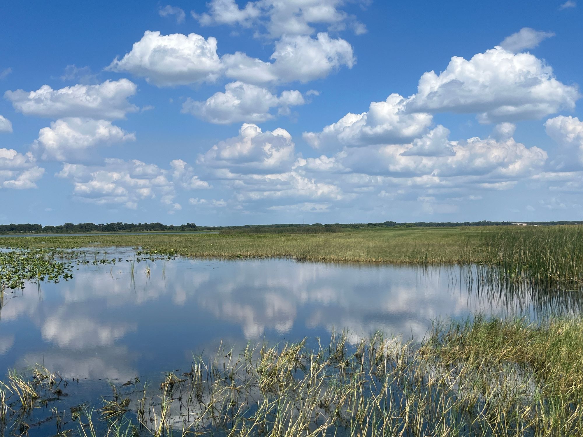
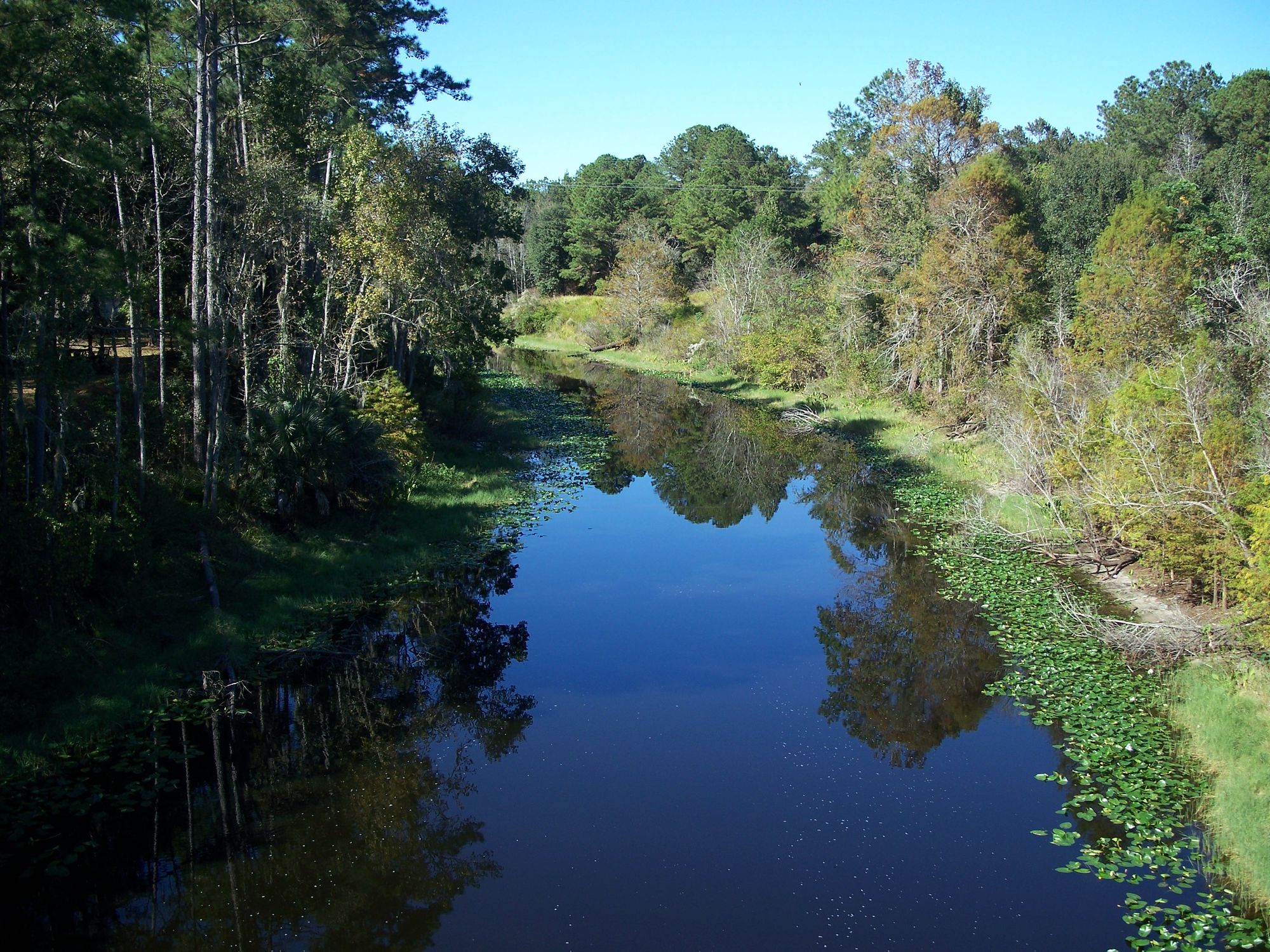
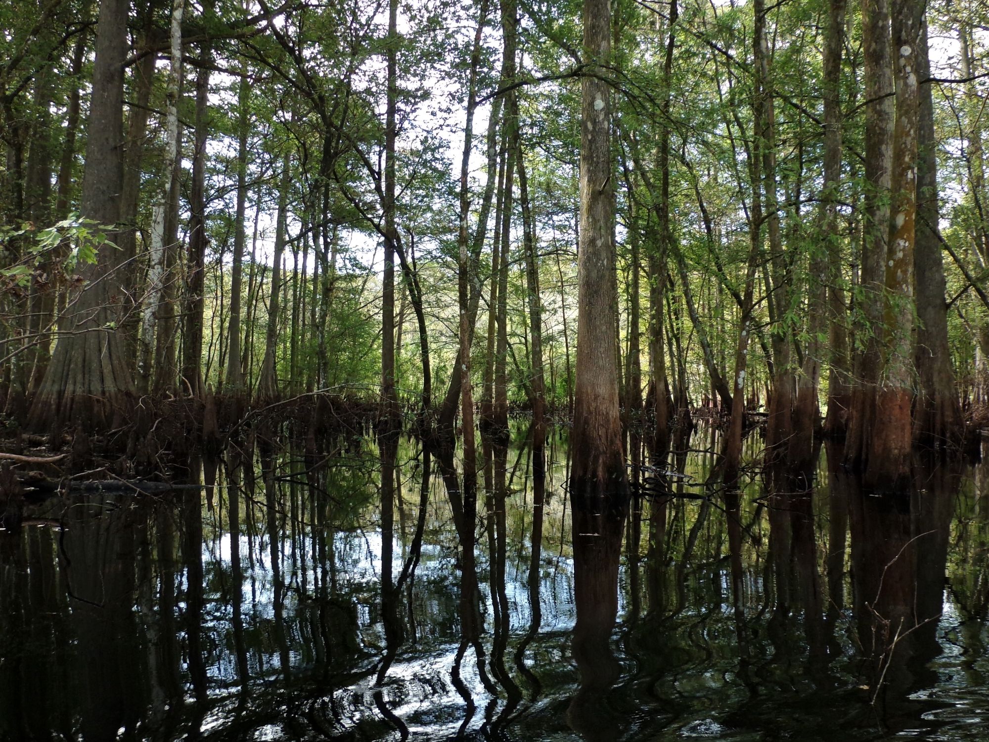
The river corridor supports diverse ecosystems including longleaf pine sandhills, cypress swamps, and hardwood hammocks. Florida black bears, river otters, and alligators inhabit the basin, while West Indian manatees visit seasonally. The state-threatened bluenose shiner thrives in the clear waters, and extensive eelgrass beds provide critical aquatic habitat. Wading birds including little blue herons and wood storks forage along the shoreline.
Major access points include Kelly Park (Rock Springs) near Apopka, Wekiwa Springs State Park, Wekiva Island in Longwood, Wilson's Landing near Sanford, Katie's Landing, and Highbanks Marina in DeBary. Private concessionaires at Kings Landing and Wekiva Falls Resort provide rentals and shuttle services.
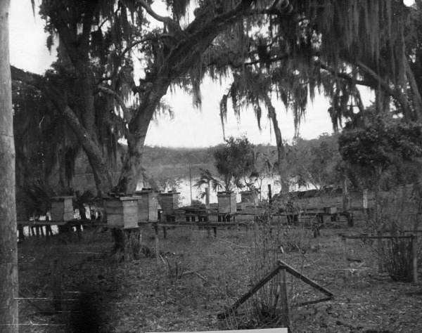
Archaeological sites including shell middens document thousands of years of human occupation. The area supported Timucuan settlements, served as a Seminole hunting ground, and hosted 19th-century steamboat landings at Clay Springs (now Wekiwa Springs). Historic logging operations and turpentine production left remnants visible along the river.
Paddlers must respect Outstanding Florida Waters regulations prohibiting pollution and requiring permits for certain activities. Motorized watercraft face restrictions on Rock Springs Run and Black Water Creek. The Wekiva Parkway bridge crosses the upper river, representing the only major road intrusion. Multi-day trips combining river segments with primitive camping at designated sites offer backcountry experiences within the Wekiva River Basin State Parks system.
Curated routes
Hand-picked by the PaddleWays team, with put-ins, take-outs, paddle times and the hazards along the way.
RouteFlatwater
Hazards
No hazards are marked on Wekiva River yet. That is not the same as none being there: if you find one, report it for the next paddler.
From the community
Real trips from PaddleWays paddlers: which route they ran, how the flows were, and what to watch for.
Loading trip reports
Jason W.
Suzanne S. •
3/10. Brackish water. Not very clear water. long walk to the put in.
See exactly where the public can get on and off the river. Launch points and boat ramps are paired with PaddleWays' public land data so you know where you can legally land.
Public shoreline
86%of the river's shoreline is public
Flows, weather and a route-by-route verdict, so you know which stretch of the Wekiva River is worth paddling today.
All Flow Stations
Live flows, marked hazards and fresh trip reports from paddlers who were just on the water, all in one place.





Every user gets free access to launch points, boat ramps, and public property parcels.
Loading popular cities...
PaddleWays gives you everything you need to plan smarter, paddle better, and own every trip from first launch to takeout.