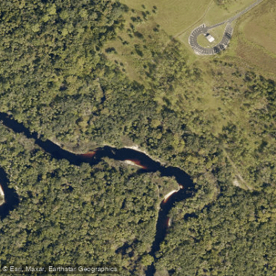
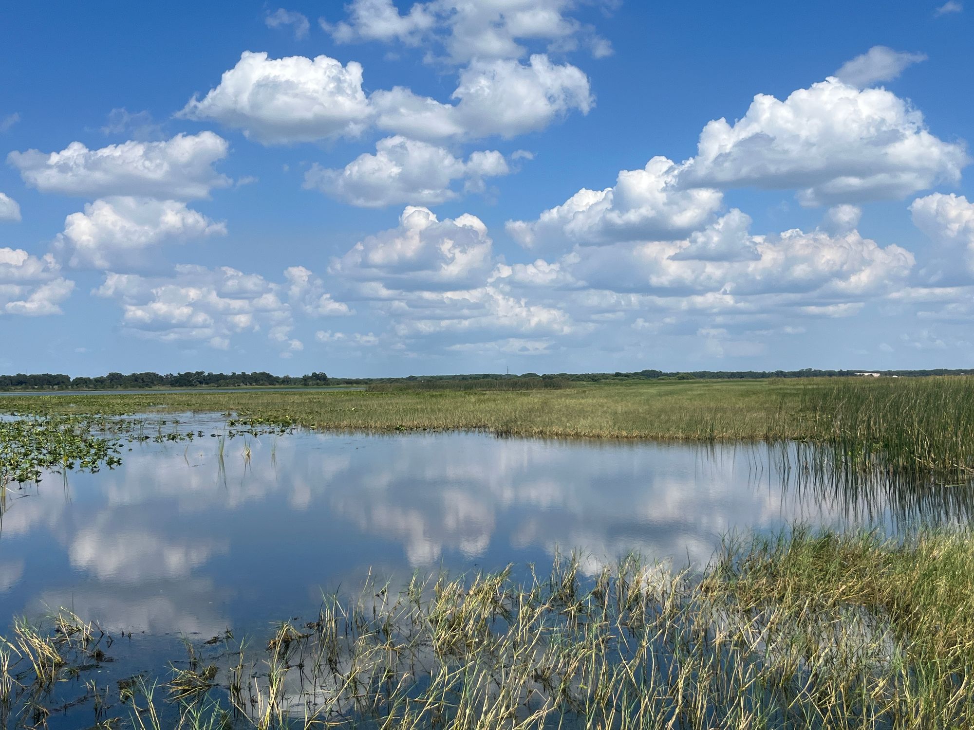
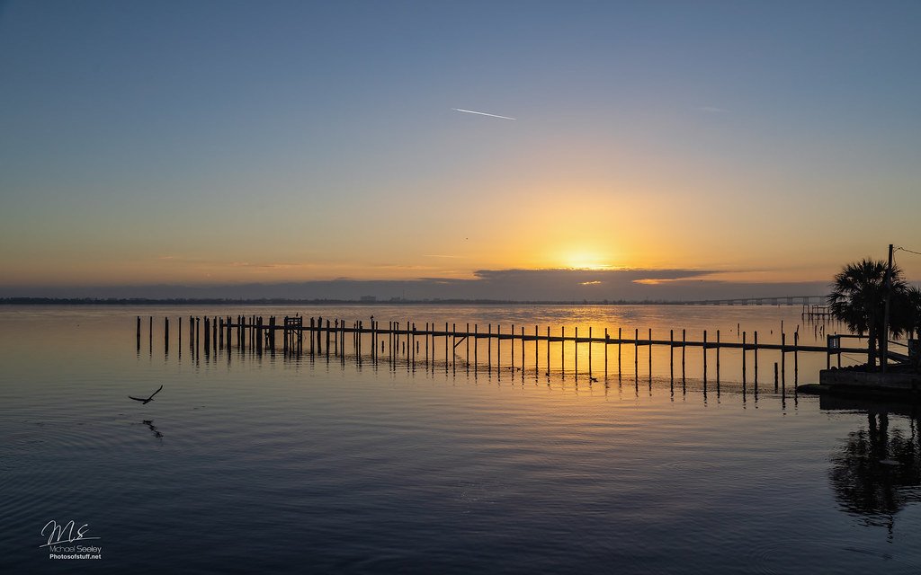
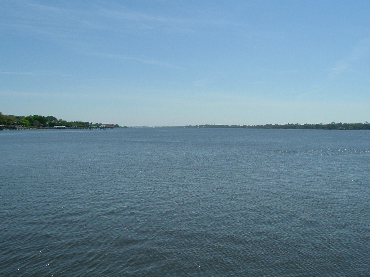
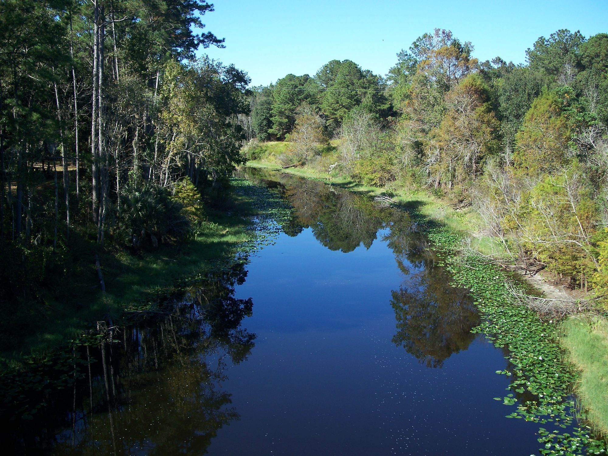
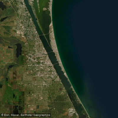
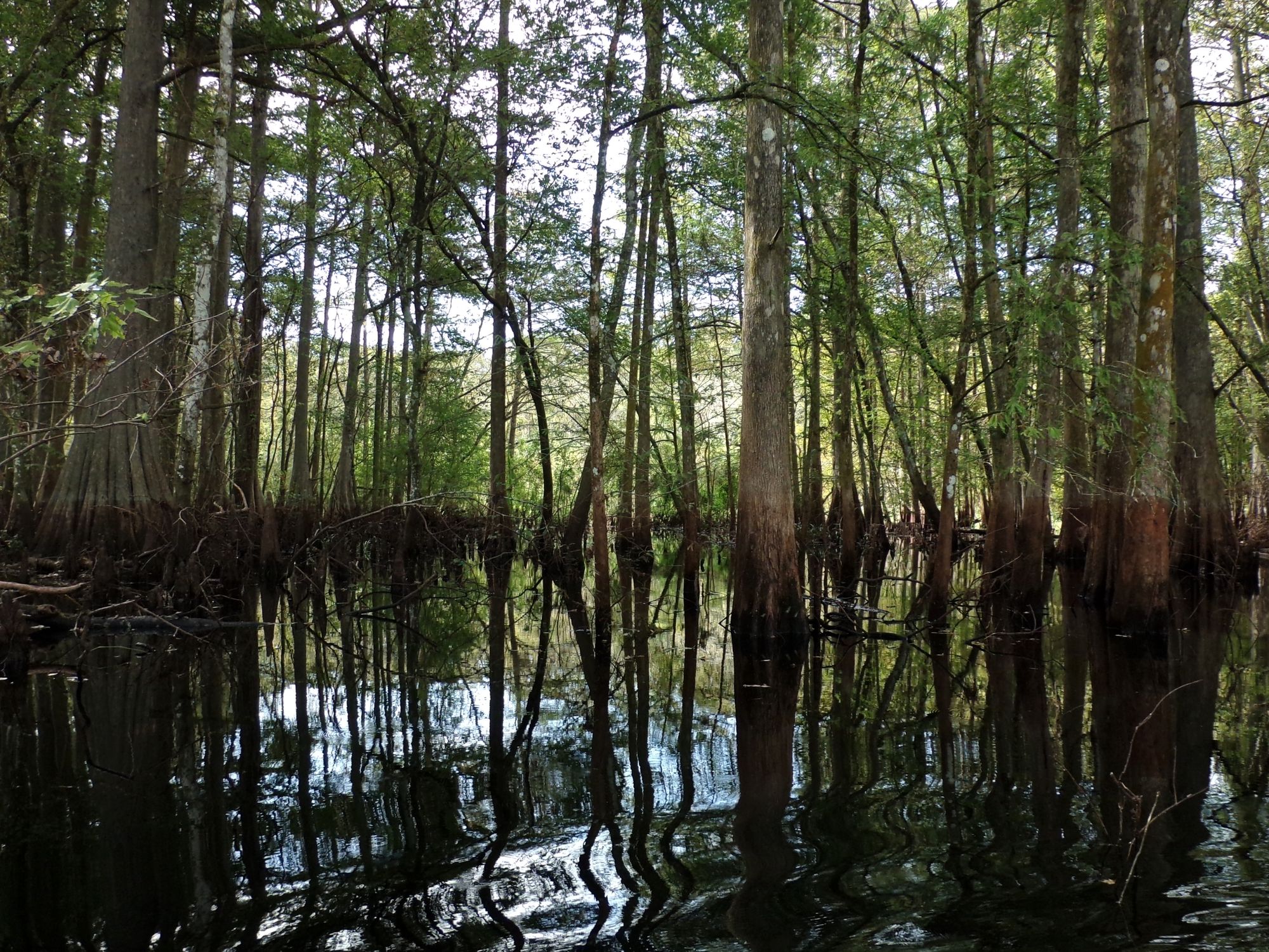
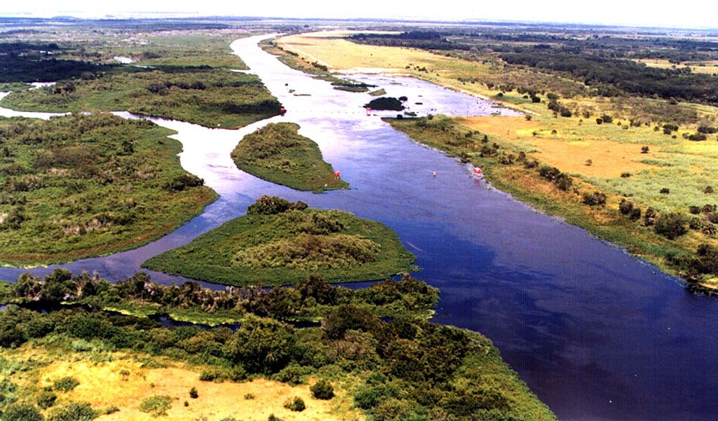
The Econlockhatchee River, affectionately known as the Econ, is a blackwater tributary of the St. Johns River in Central Florida. Originating in swamps near Orlando, it flows northward for approximately 54 miles before joining the St. Johns near Oviedo. The river drains a watershed of about 260 square miles, characterized by subtropical forest and wetlands.
Paddlers can explore three main sections of the Econ. The upper stretch from SR 50 in Bithlo to CR 419 offers a less-traveled, 19-mile route suitable for adventurous beginners when water levels are high. The middle section, designated as the official 19-mile Econlockhatchee River Paddling Trail, runs from CR 419 to the St. Johns River confluence. The lower 11.5-mile segment from Snow Hill Road to SR 46 provides a classic Central Florida paddling experience.
The river's difficulty ranges from flatwater to Class I rapids, depending on water levels. Most sections are appropriate for novice to intermediate paddlers, though navigation skills are essential to maneuver around fallen trees and other obstacles. Spring and fall offer ideal paddling conditions, with moderate temperatures and lower chances of afternoon thunderstorms.
Water levels are crucial - paddlers should check the USGS gauge before embarking, as levels below 11 feet can make portions challenging, while above 18 feet indicates flood stage.
The Econ's ecosystem supports a rich array of wildlife, including alligators, turtles, and various wading birds. Paddlers may spot white-tailed deer, wild turkeys, and even the occasional black bear along the densely forested banks.
Key landmarks include the Florida Trail footbridge, which crosses the river about two miles upstream from Snow Hill Road, and a covered shelter that serves as a convenient rest stop. The Flagler Trail bridge at the 6-mile mark of the paddling trail offers a scenic picnic spot.
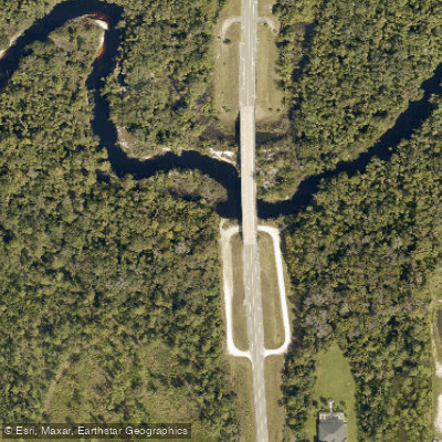
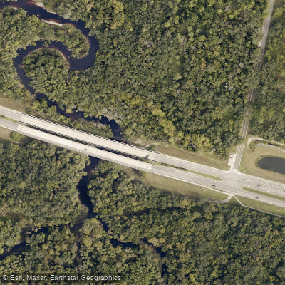
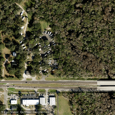
Primary access points include SR 50 in Bithlo, CR 419 bridge, Snow Hill Road near Chuluota, and SR 46 bridge at C.S. Lee Park. These put-ins and take-outs connect paddlers to nearby communities like Orlando, Oviedo, and Geneva.
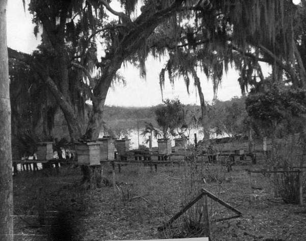
Historically, the Econlockhatchee served as an important transportation route for Native Americans and early settlers. Today, it plays a crucial role in Central Florida's ecology and offers a window into the region's natural heritage.
Safety considerations include being prepared for sudden weather changes, watching for submerged obstacles, and respecting wildlife. Paddlers should be aware that the take-out at C.S. Lee Park requires a fee and has gates that close at sunset.
While most trips on the Econ are day paddles, ambitious paddlers can string together multi-day adventures by combining sections or continuing onto the St. Johns River. However, camping options along the river are limited, so careful planning is essential.