
Curated by PaddleWays
RouteFlatwater
- Distance
- 7.9 mi
- Paddle time
- 4.5 hrs
- Best for
- Kayak, canoe
- Put-in → take-out
- Kings Landing Canoe Outfitters → Wekiva Island Canoe/Kayak Rentals & Launch
Rock Springs Run is a pristine spring-fed waterway in central Florida, originating from the headsprings at Kelly Park in Apopka and flowing north for approximately 8.5 miles before joining the Wekiva River. This crystal-clear stream is part of the larger Wekiva River system and has been designated as a National Wild and Scenic River, highlighting its ecological importance and natural beauty. The run offers paddlers a range of experiences, from short out-and-back trips to full-day adventures. The most popular paddling sections include the Emerald Cut near the headsprings, known for its stunning emerald-green waters and sandy bottom, and the full 8.5-mile journey from King's Landing to Wekiva Island.
Rock Springs Run is primarily a flatwater paddle, suitable for beginners to intermediate paddlers. However, the narrow, winding nature of the stream and occasional fallen trees require basic maneuvering skills. The consistent spring flow means the run can be paddled year-round, though summer weekends can be crowded. Fall and winter offer cooler temperatures and increased wildlife viewing opportunities.
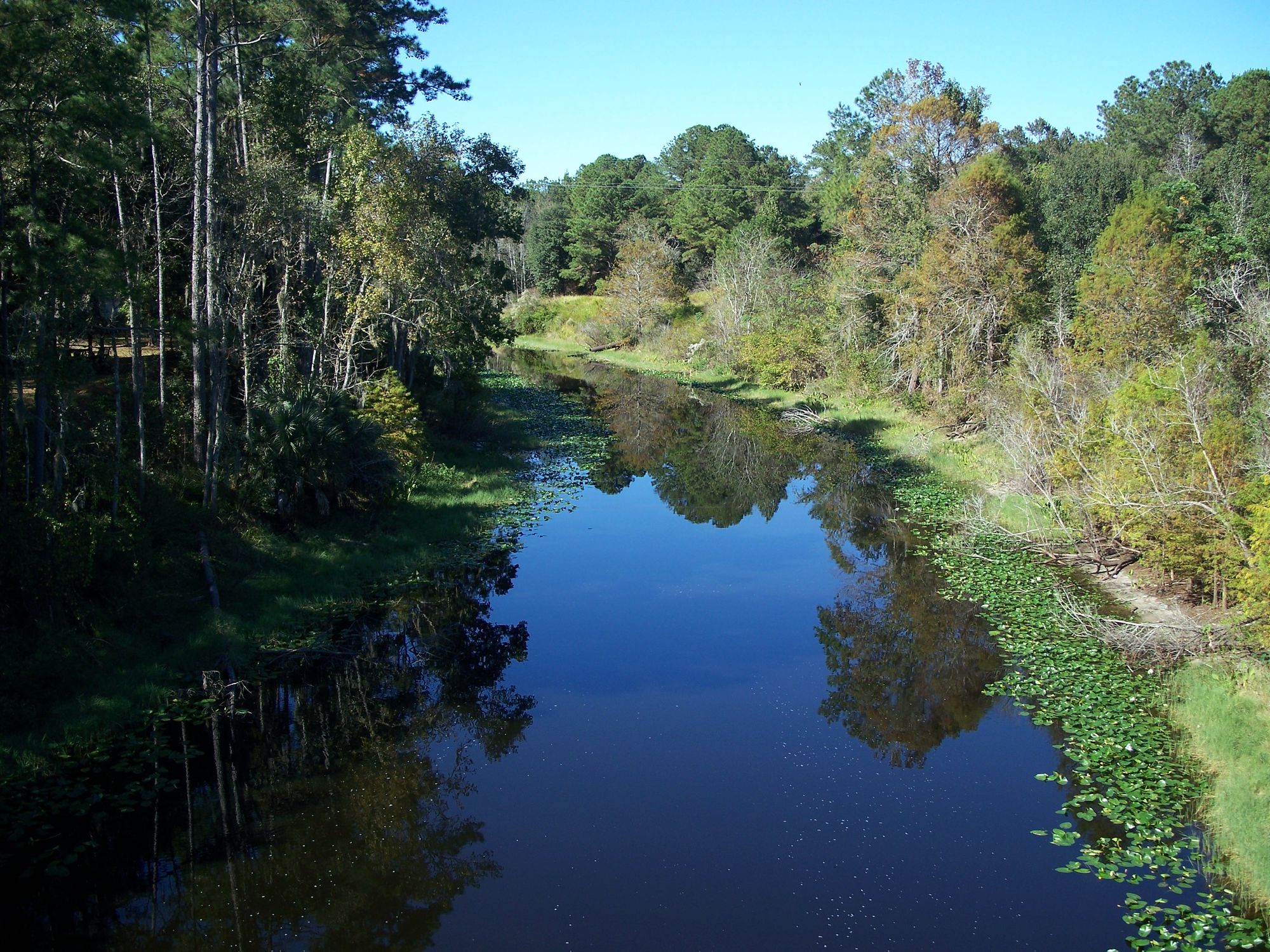
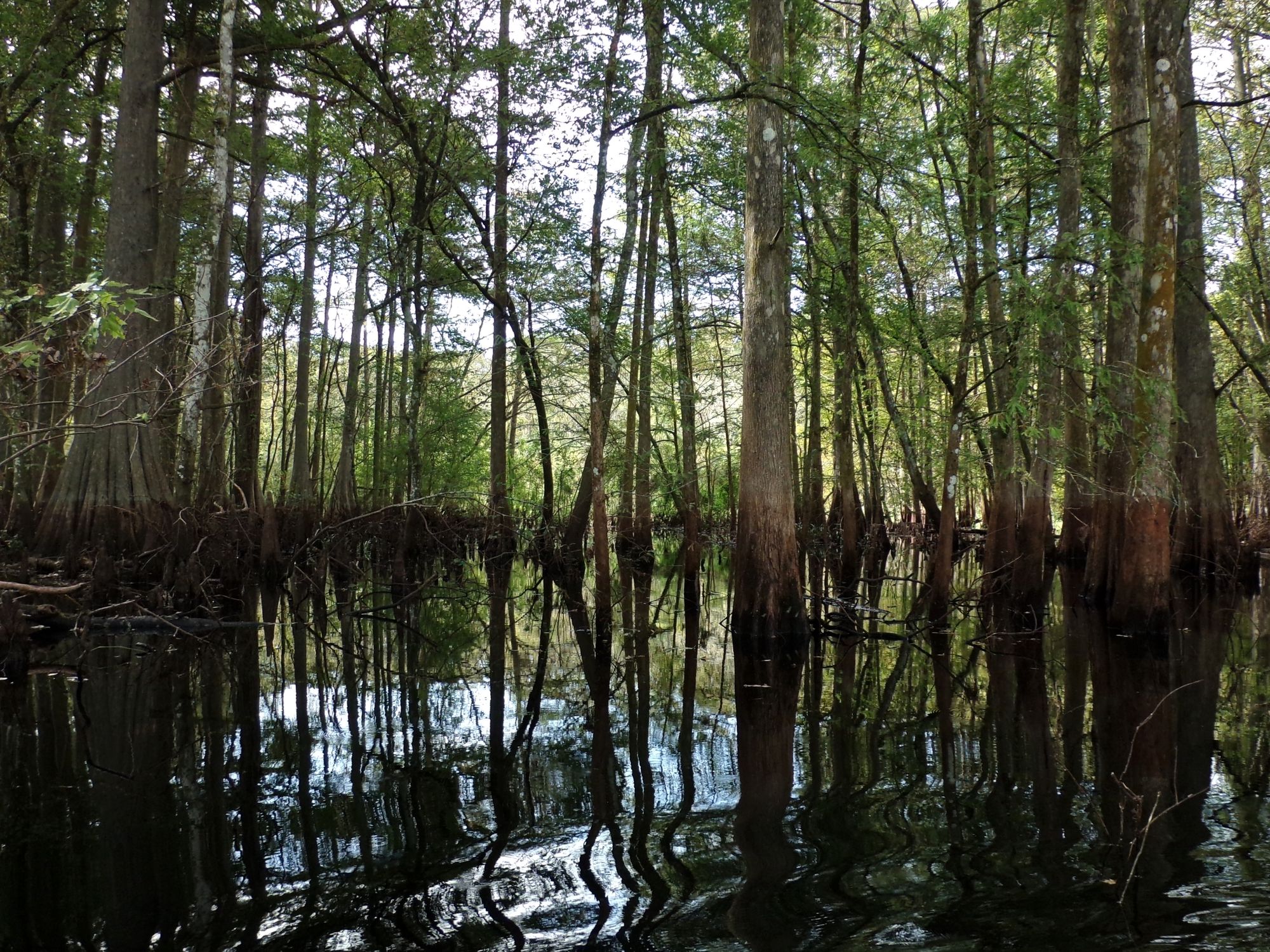
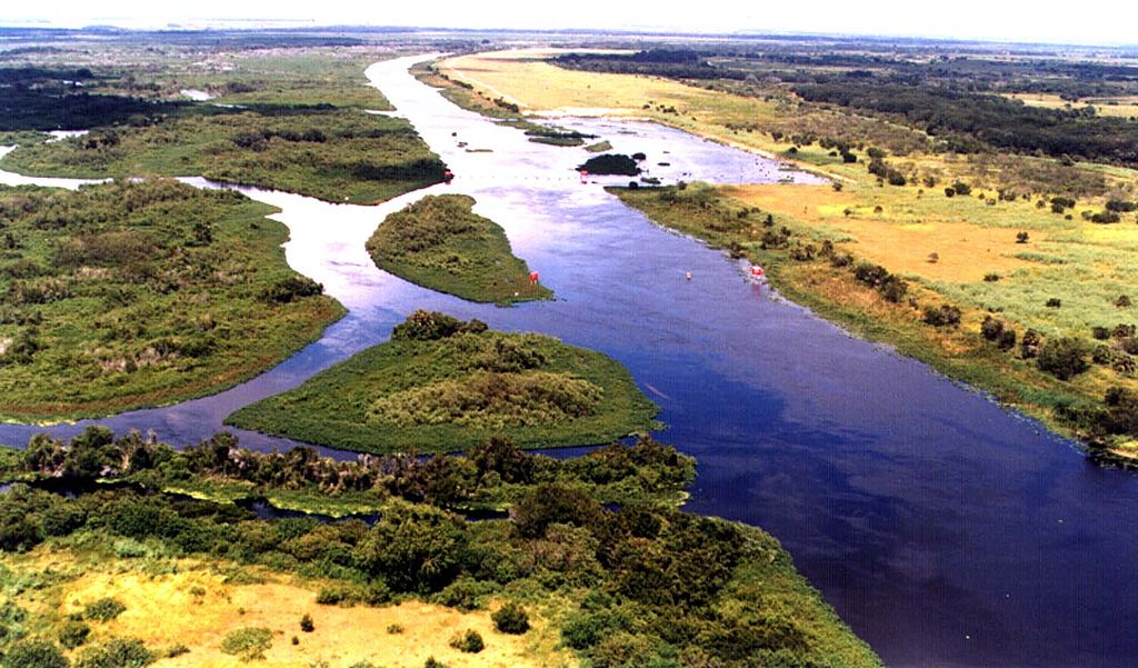
The ecosystem surrounding Rock Springs Run is a lush, subtropical paradise. Paddlers will glide through corridors of overhanging trees draped with Spanish moss, spotting wildlife such as turtles, alligators, otters, and a variety of wading birds. The clear waters also allow for excellent underwater viewing of fish and aquatic plants.
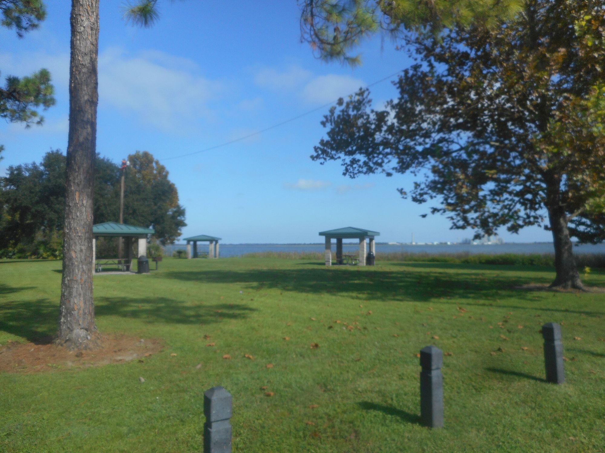
Key access points include Kelly Park (for the short tubing run), King's Landing in Apopka (the primary put-in for longer paddles), and Wekiva Island (the typical take-out point). The nearby town of Apopka provides amenities and accommodations for visitors. The area holds historical significance as a longtime recreation spot for Floridians and as part of the traditional territory of the Timucua people. Today, it serves as an important natural corridor in an increasingly developed region.
Safety considerations include being aware of alligators (though attacks are rare), staying hydrated in the Florida heat, and respecting private property along the banks. Paddlers should also be prepared for limited cell phone reception in some areas. While most trips on Rock Springs Run are day paddles, multi-day adventures are possible by combining it with the connected Wekiva River system, allowing paddlers to explore more of this unique Florida waterway.
Curated routes
Hand-picked by the PaddleWays team, with put-ins, take-outs, paddle times and the hazards along the way.
RouteFlatwater
Hazards
No hazards are marked on Rock Springs Run yet. That is not the same as none being there: if you find one, report it for the next paddler.
From the community
Real trips from PaddleWays paddlers: which route they ran, how the flows were, and what to watch for.
Loading trip reports
Caitlyn S.
Kings landing
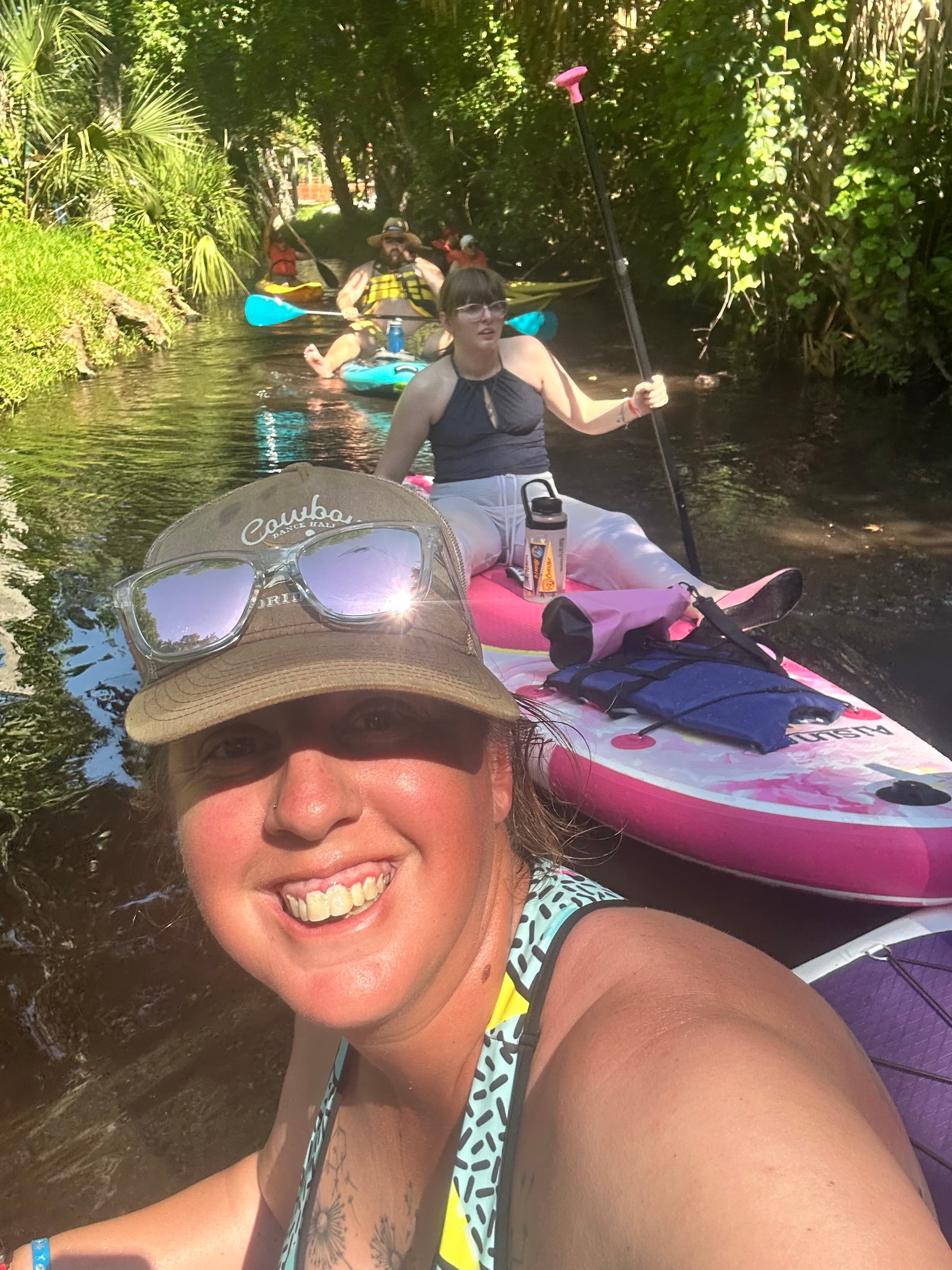
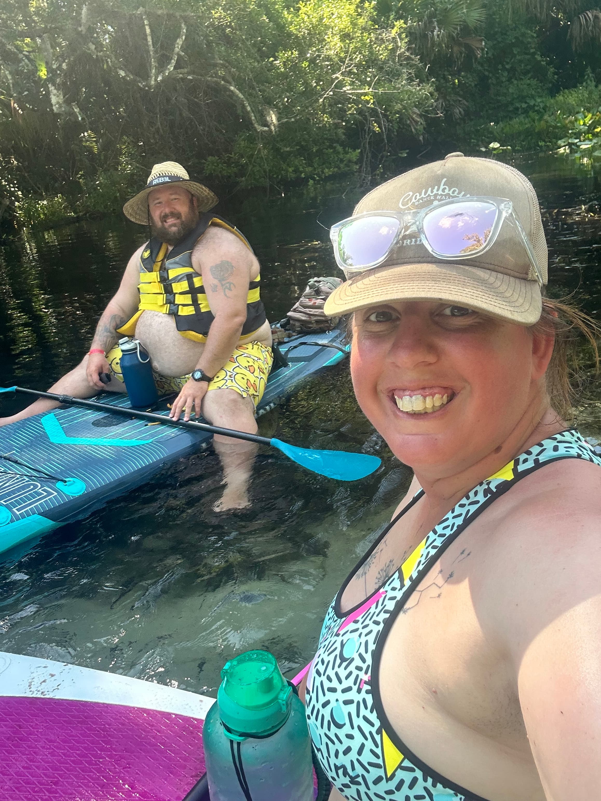
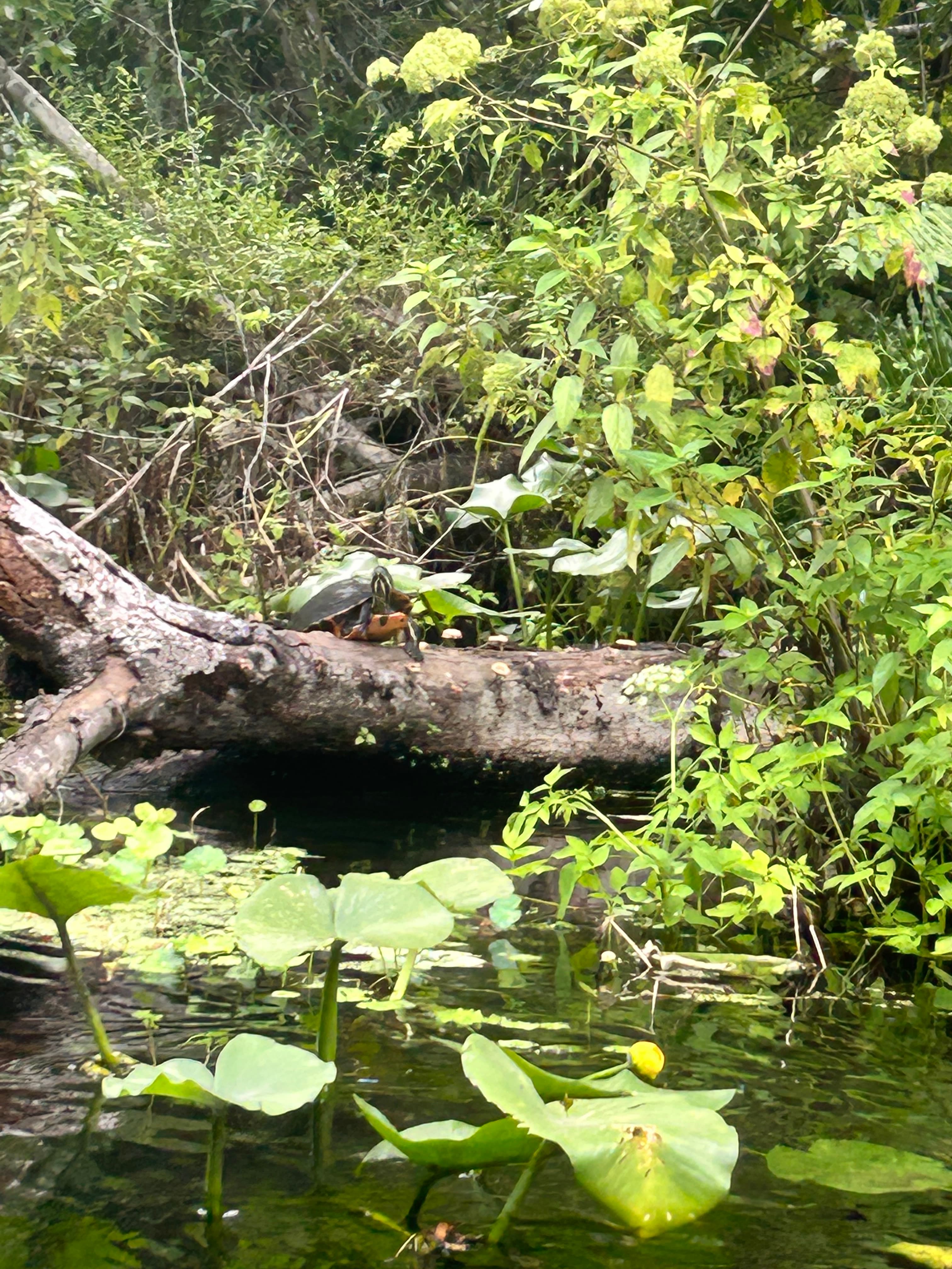 +1
Desiree L.
Rock Springs Run Start to End of Route
Jason W.
Fun kings landing
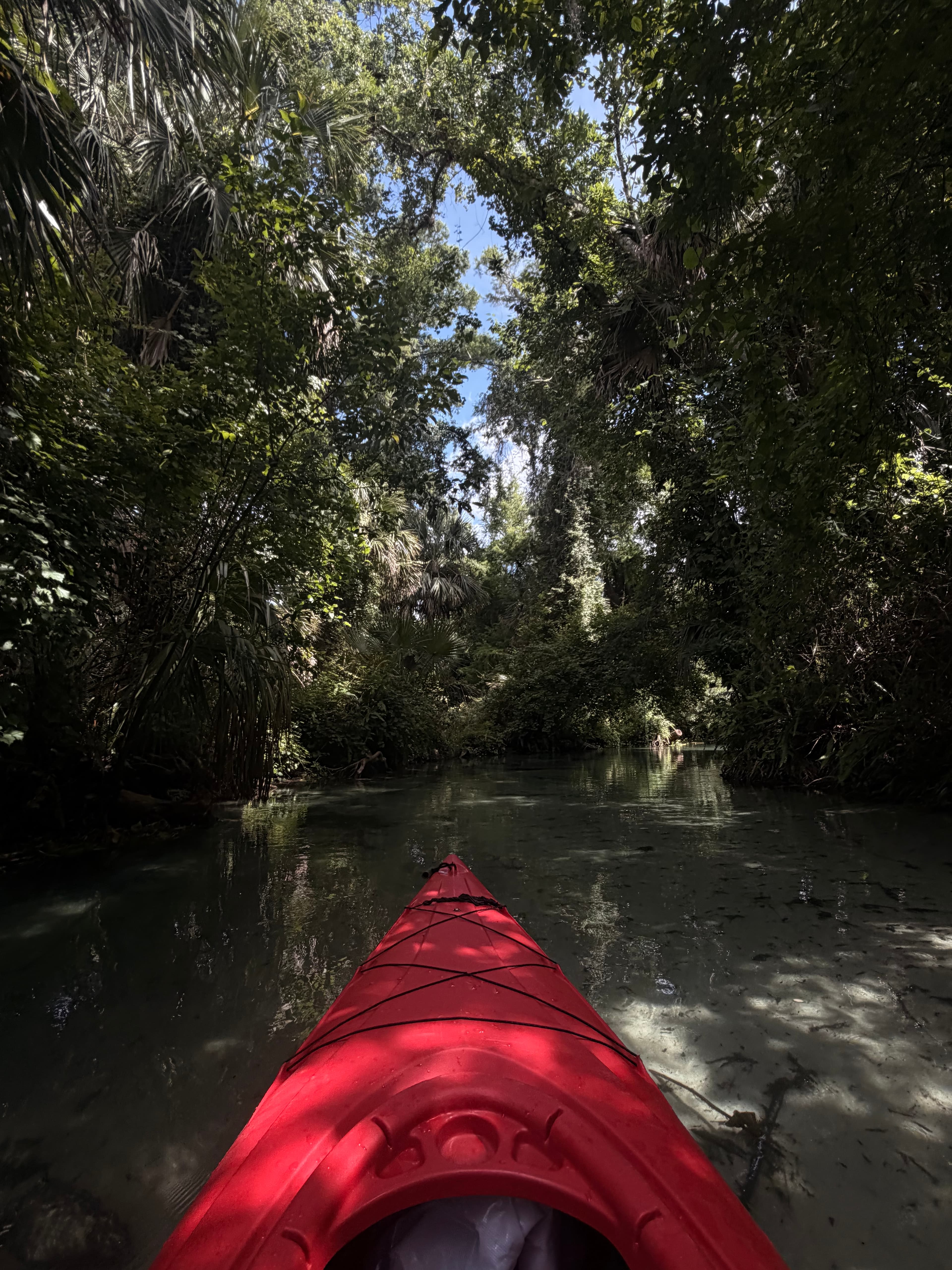
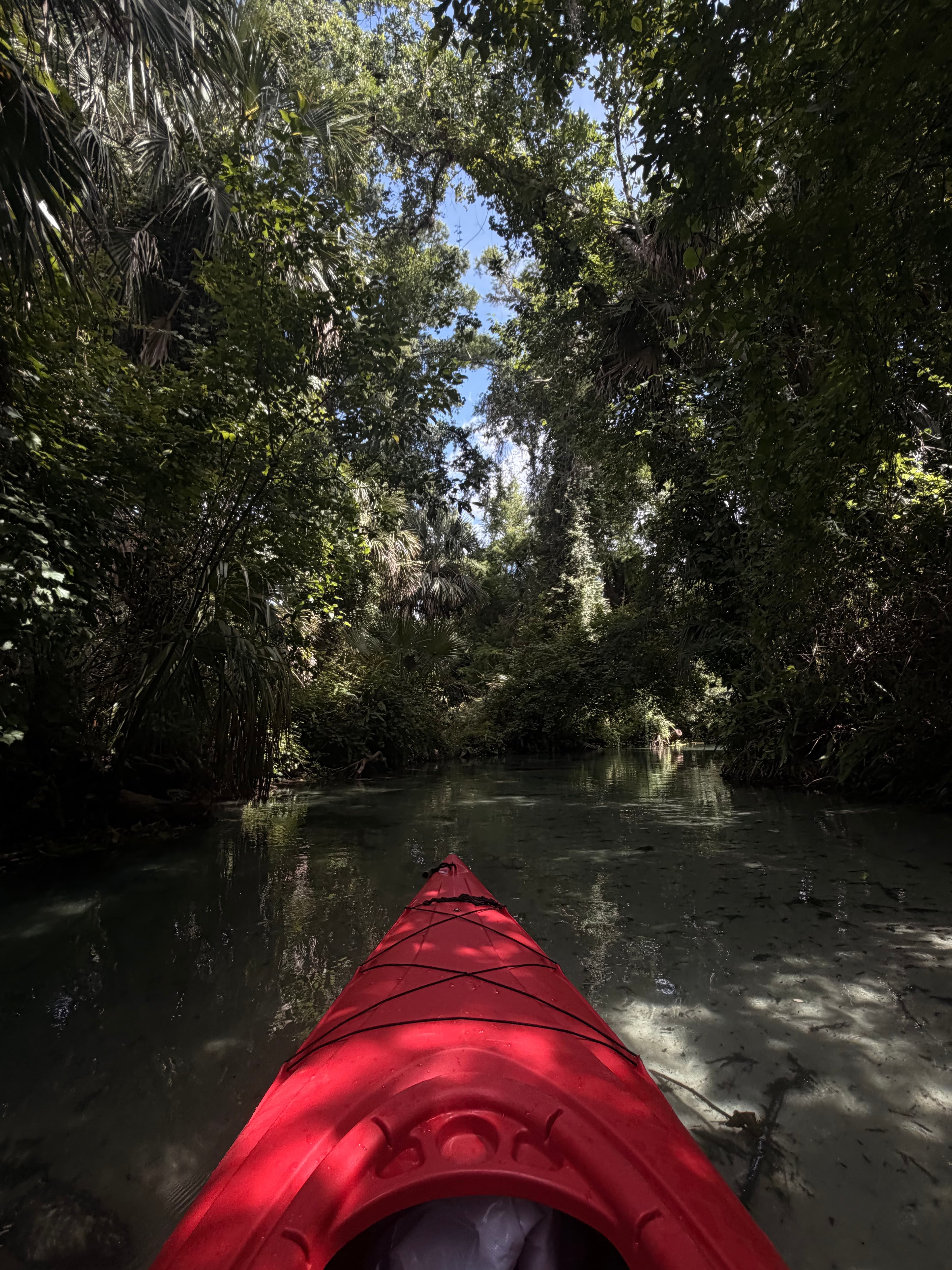
Shara & matt M.
1st Shuttle Run
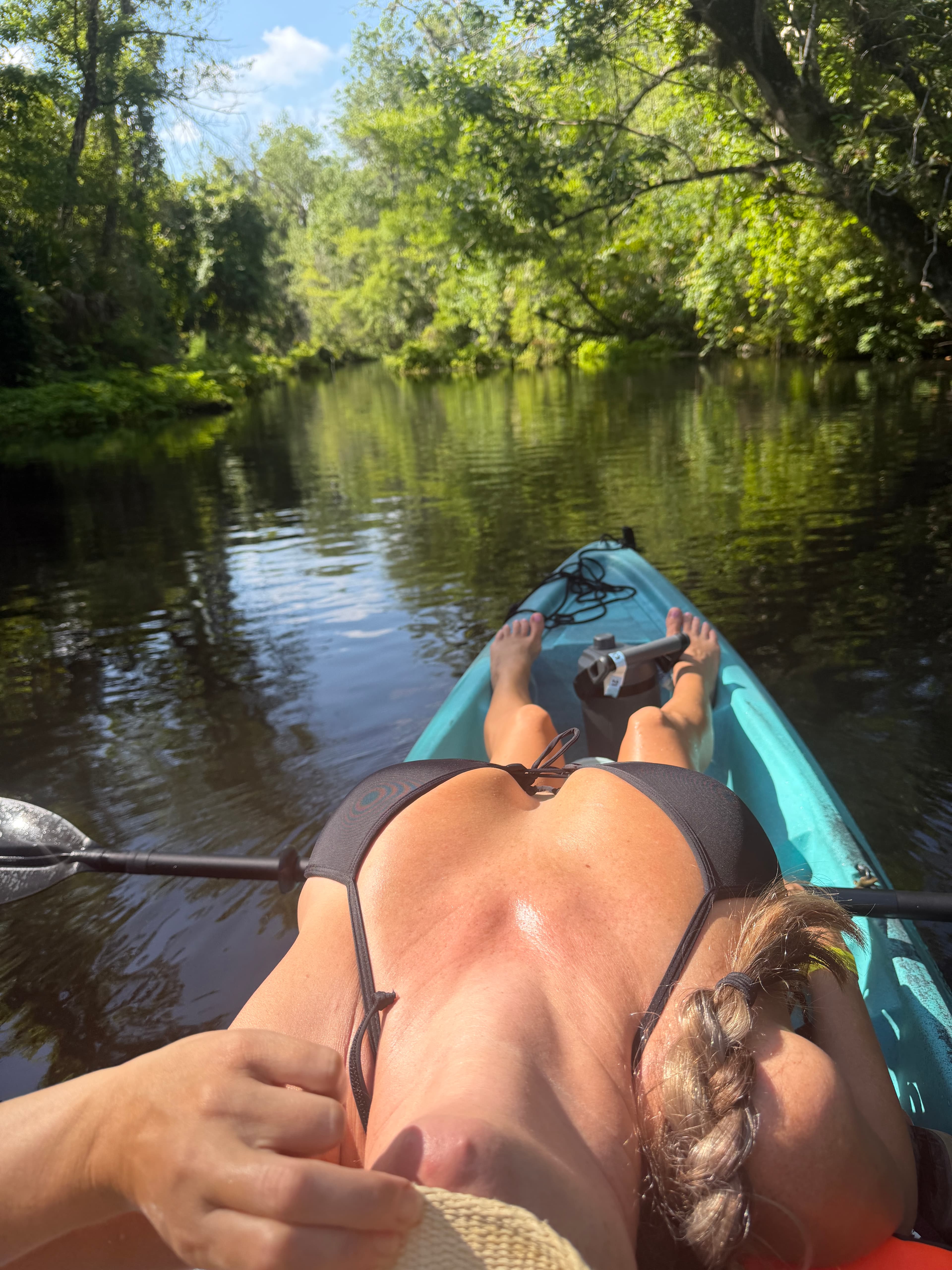
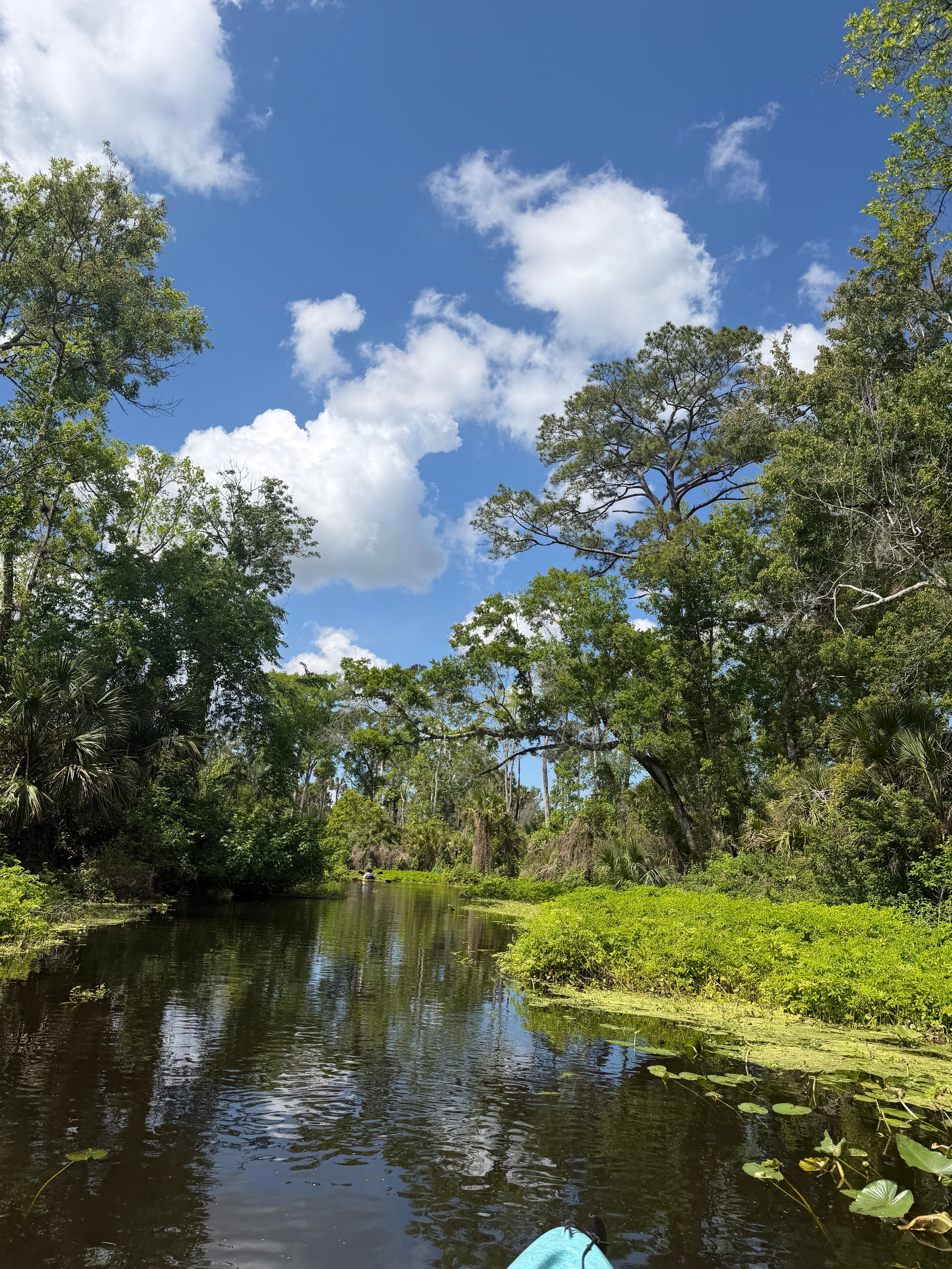
 +2
Shara & matt M. •
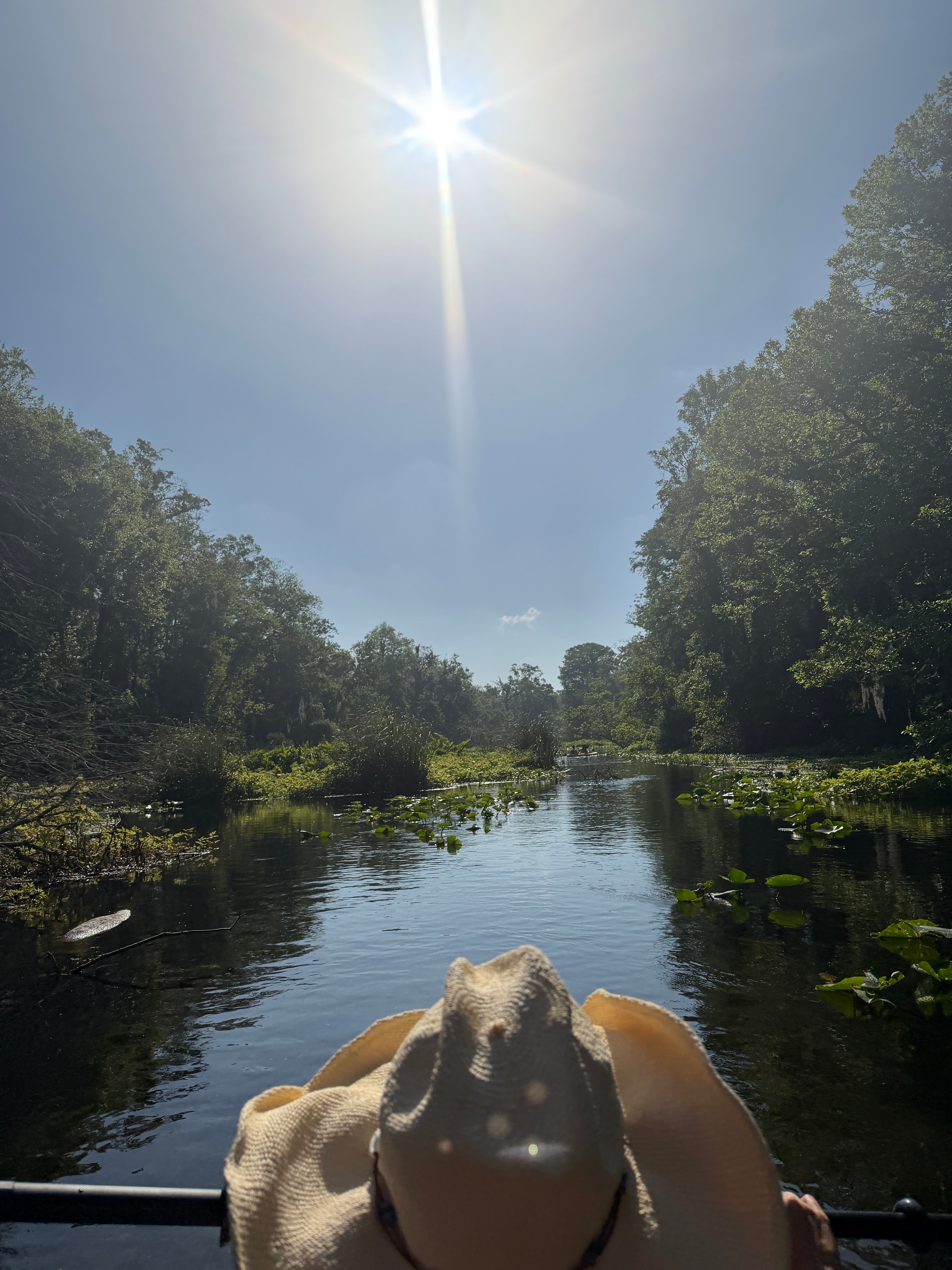
Launching from Kings Landing, keep right for Emerald Cut. It might be the most beautiful place on earth. Clear water, peaceful for the most part. We’ve only seen a handful of baby gators, several otters, and some curious raccoons that will climb onto yoyr kayak and try stealing your food if you stop. Keep left to paddle 8.5+ miles to Wekiva Island. Water isn’t as clear but a fun 5 hour trip. Lots of gators, although they weren’t interested in us.
Suzanne S. •
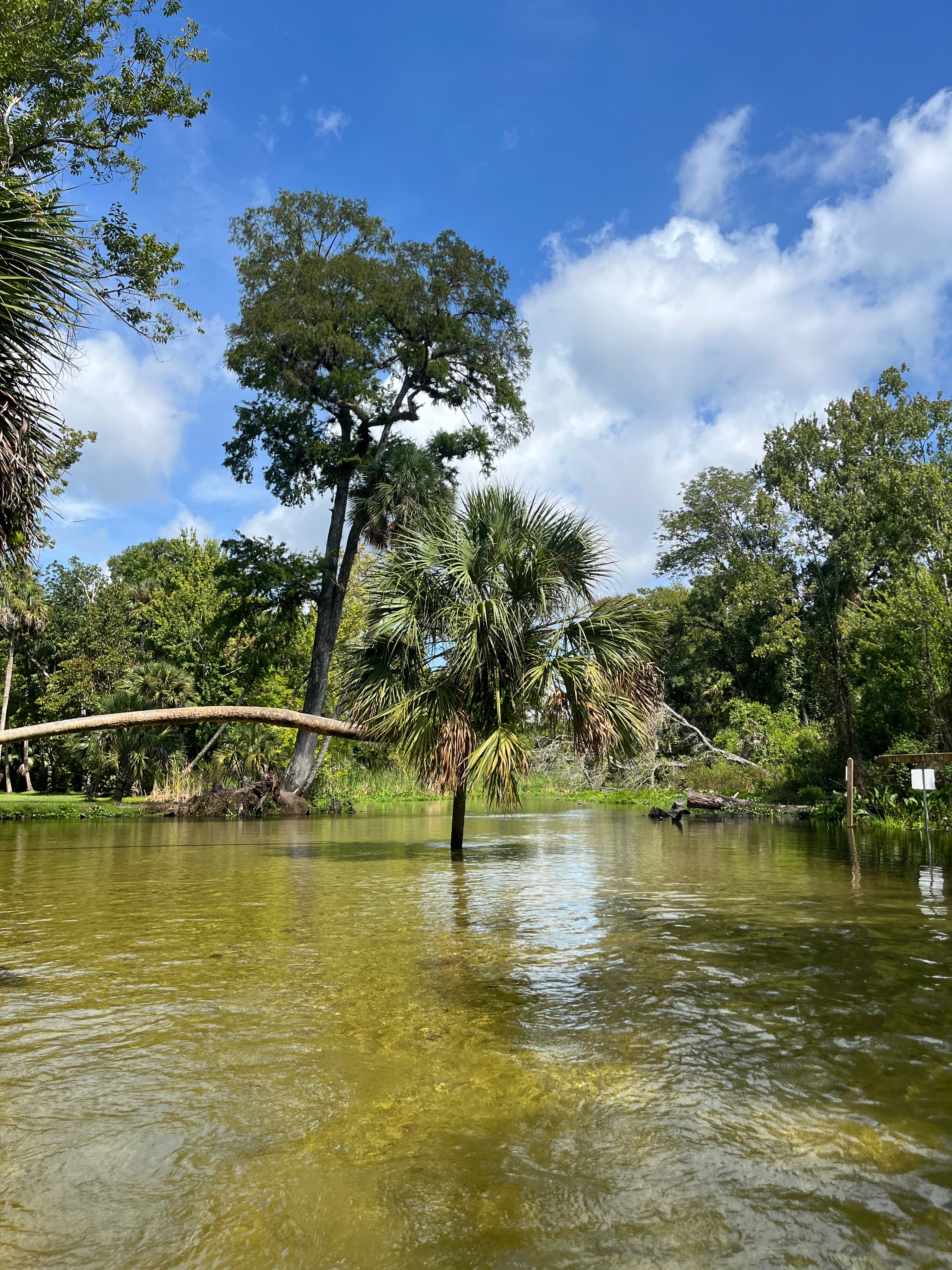
8/10. Super clear water if you head right out of the put in. More brackish if you head left. Very pretty.
See exactly where the public can get on and off the river. Launch points and boat ramps are paired with PaddleWays' public land data so you know where you can legally land.
Public shoreline
93%of the river's shoreline is public
Boat Ramp

Boat Ramp
Flows, weather and a route-by-route verdict, so you know which stretch of the Rock Springs Run is worth paddling today.
Live flows, marked hazards and fresh trip reports from paddlers who were just on the water, all in one place.





Every user gets free access to launch points, boat ramps, and public property parcels.
Loading popular cities...
PaddleWays gives you everything you need to plan smarter, paddle better, and own every trip from first launch to takeout.





