Curated by PaddleWays
RouteFlatwater
- Distance
- 5.5 mi
- Paddle time
- ~2 hrs
- Put-in → take-out
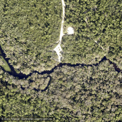
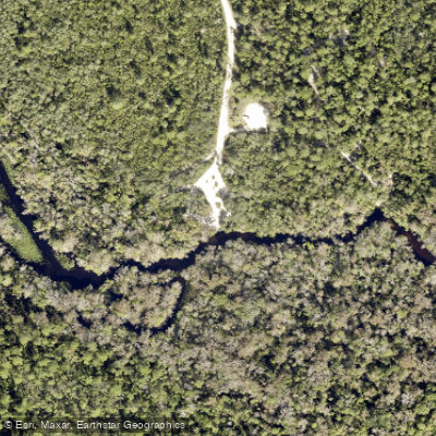
- Alexander Springs Creek Forest Road 552 Boat Ramp → Lower Alexander Spring Creek Access
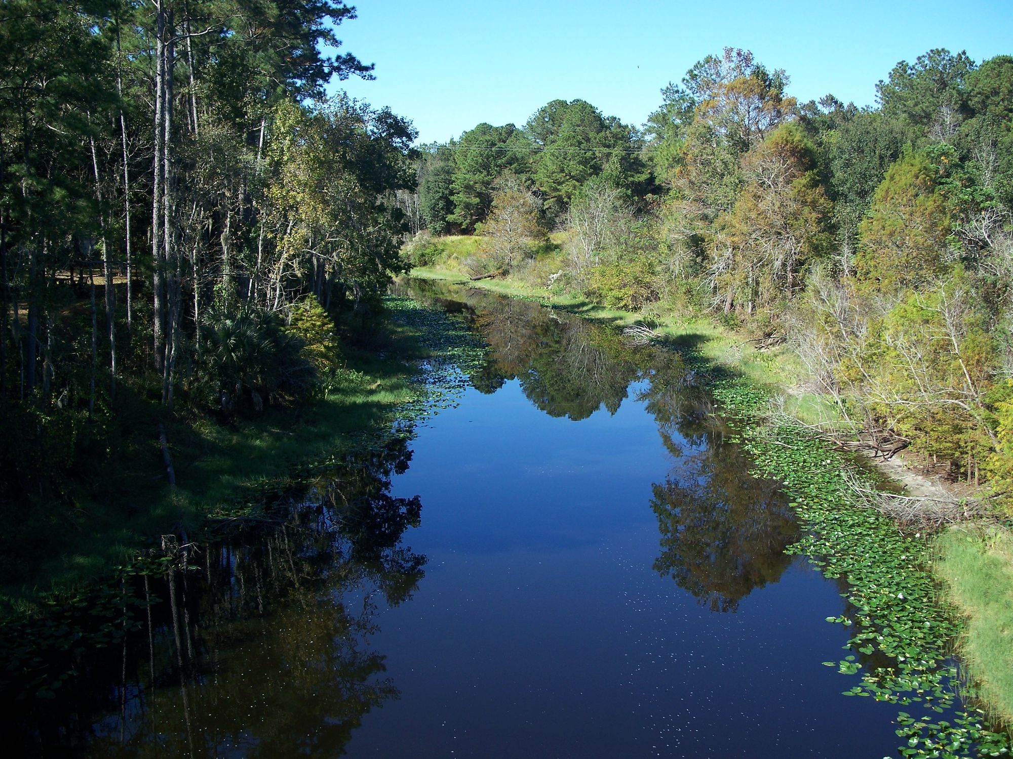
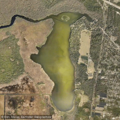
Alexander Springs Creek is a pristine waterway originating from Alexander Springs in the Ocala National Forest of central Florida. The crystal-clear spring water bubbles forth to create a 6.5-mile run that meanders eastward through a diverse subtropical ecosystem before joining the St. Johns River. The creek offers paddlers a range of experiences, from short out-and-back trips near the spring head to longer downstream journeys.
The most popular paddling route runs from Alexander Springs Recreation Area to FR52 Landing. This 6.5-mile stretch is entirely flatwater, making it suitable for beginners and families. More experienced paddlers can extend their trip by continuing downstream towards the St. Johns River confluence. While the upper sections near the spring remain clear year-round, the lower portions may become choked with aquatic vegetation in warmer months, particularly in late summer. Spring and fall offer ideal paddling conditions with comfortable temperatures and reduced plant growth.
The creek's ecosystem supports a rich array of wildlife. Paddlers commonly encounter wading birds like herons and egrets, as well as turtles basking on logs. The clear spring waters allow excellent visibility of fish and underwater features, especially in the upper reaches.
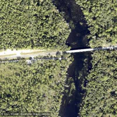
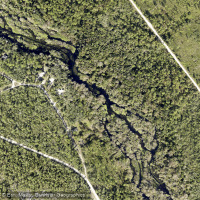
Key landmarks include the expansive spring basin at Alexander Springs Recreation Area, which serves as the primary put-in point. The CR 445 bridge marks a convenient take-out for shorter trips, while the 552 Landing offers access to the lower sections. The nearest town is Astor, located about 15 miles east where the creek meets the St. Johns River.
The springs and surrounding forest have been used by humans for thousands of years, with evidence of Native American settlements dating back millennia.
Safety considerations include being aware of submerged logs and shallow areas, especially in the lower sections where vegetation can be dense. All boaters must follow Florida boating regulations and Ocala National Forest rules.
For those seeking a multi-day adventure, primitive camping is available at designated sites along the creek, allowing paddlers to fully immerse themselves in the serene Florida wilderness. However, most visitors opt for day trips, enjoying the crystal-clear waters and lush surroundings of this remarkable spring-fed creek.
Curated routes
Hand-picked by the PaddleWays team, with put-ins, take-outs, paddle times and the hazards along the way.
RouteFlatwater
RouteFlatwater
Hazards
No hazards are marked on Alexander Springs Creek yet. That is not the same as none being there: if you find one, report it for the next paddler.
From the community
Nobody has shared a trip on Alexander Springs Creek yet. Paddle it, then tell the next paddler how it went.
See exactly where the public can get on and off the river. Launch points and boat ramps are paired with PaddleWays' public land data so you know where you can legally land.
Public shoreline
98%of the river's shoreline is public
Flows, weather and a route-by-route verdict, so you know which stretch of the Alexander Springs Creek is worth paddling today.
No forecast data available.
Live flows, marked hazards and fresh trip reports from paddlers who were just on the water, all in one place.





Every user gets free access to launch points, boat ramps, and public property parcels.
Loading popular cities...
PaddleWays gives you everything you need to plan smarter, paddle better, and own every trip from first launch to takeout.