Card Sound
- Saltwater
- Sound
Card Sound
- Saltwater
- Sound
- Sq. miles
- 16
- Boat Ramps
- 0
- Access Points
- 0
- Campsites
- 0
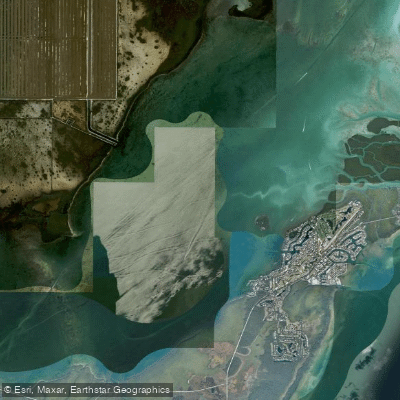
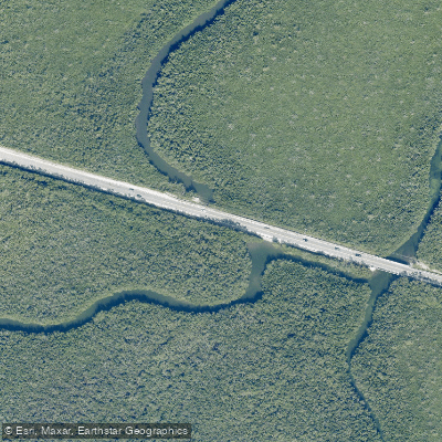
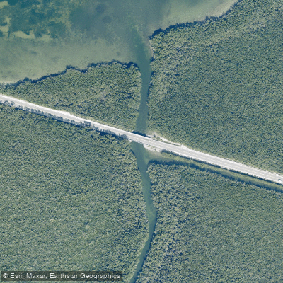
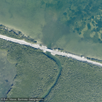
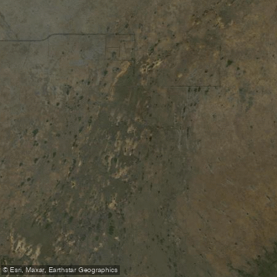
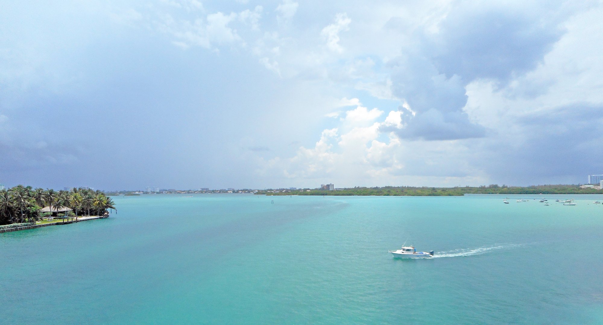
Card Sound is a coastal saltwater sound located just east of Key Largo in the Florida Keys. It is characterized by extensive mangrove shorelines and interconnected tidal creeks, offering a sheltered, winding paddling environment away from open ocean conditions. The sound is a designated segment of the Florida Circumnavigational Saltwater Paddling Trail, indicating its established use for kayaking and canoeing. Primary public launch sites for paddlers are concentrated along Card Sound Road. The Card Sound Bridge, East ramp is a 24-hour access point with parking, suitable for small boats, kayaks, and canoes, though the ramp surface is unpaved and was reported as being in fair condition. Other potential launch points referenced in the area include sites at Mosquito Creek, Steamboat Creek, and Tubby's Creek, but several specific canoe/kayak access sites, such as the Mosquito Creek site and the Steamboat Creek site, have been reported as permanently closed to public use. Paddlers must verify current public access status before planning a trip. The paddling experience involves navigating through mangrove tunnels and creeks, such as Saunders Creek and Tubby's Creek, with one documented route covering 6.6 miles and rated for intermediate skill levels. A key safety consideration for paddlers is the presence of boat traffic, particularly near the Card Sound Bridge and where creeks meet the main sound, requiring careful navigation. The area is part of the Crocodile Lake National Wildlife Refuge, which underscores the presence of significant wildlife and natural habitats. The water is marine and tidal, so paddlers must plan for tidal currents. The aesthetic is defined by dense, overhanging mangroves creating narrow passages, with open water views in the broader sound.
Water access, boat ramps & amenities
Learn how to get on Card Sound. Uncover great paddling access points, boat ramps, and all the facilities you need for an unforgettable day on the water. Some locations shown may border or include private property. Always check property boundaries and applicable regulations before visiting. PaddleWays's Public & Private Land layer can help you plan your access with confidence.
Paddle smarter with real-time insights
Whether you're en route and conditions shift or you're looking for the best spot based on current flows, we enable you to make informed decisions on the fly.








Find Places to Paddle

Over 400,000 Places to Paddle
Every user gets free access to launch points, boat ramps, and public property parcels.


Tides, wind & water conditions (10 day forecast)
On open water, wind and tide matter as much as the weather. See the best times to paddle Card Sound and check the marine forecast before you launch.
Loading tide predictions…
Explore Florida waters
Top paddling waters
Popular Cities
Loading popular cities...
Explore near Card Sound

Smarter Paddling Starts in the App.
Paddleways gives you everything you need to plan smarter, paddle better, and own every trip from first launch to takeout.