Chassahowitzka Bay
- Saltwater
- Bay
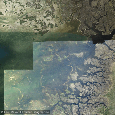
Chassahowitzka Bay
- Saltwater
- Bay
- Sq. miles
- 4.2
- Boat Ramps
- 0
- Access Points
- 0
- Campsites
- 2
Chassahowitzka Bay is a broad, shallow saltwater bay on Florida's Gulf Coast, forming the terminus of the spring-fed Chassahowitzka River before it meets the Gulf of Mexico. The bay is part of the expansive Chassahowitzka National Wildlife Refuge, offering a remote and natural paddling environment. The primary access for paddlers is via the Chassahowitzka River, launched from the Chassahowitzka River Campground. This facility provides a sandy beach launch, kayak and paddleboard rentals, parking, restrooms, and a boat ramp, though parking can fill quickly, making weekdays and early mornings advisable. The bay itself is also accessible from other points used by the Florida Circumnavigational Saltwater Paddling Trail, including Mason Creek and routes from the south via Seven Cabbage Cutoff. The entire area is tidally influenced, with tides significantly affecting water levels, clarity, and flow rates in the river leading to the bay. Water in the bay and connecting creeks is generally shallow, with depths frequently dropping to one foot or less in large areas, requiring paddlers to sometimes push through thick sea grass and muck, especially at low tide. This shallowness restricts larger motorboat traffic, but boat traffic does increase in the main river channel near the campground. The bay is exposed to wind and weather from the Gulf of Mexico, and paddlers must be prepared for open water crossings. A notable hazard is that the bay can become very rough, as evidenced by a fatal canoe overturning incident. The area is rich in wildlife, including manatees, alligators, otters, dolphins, and over 250 species of birds such as bald eagles. The aesthetic is largely undeveloped, with landscapes of coastal marshes, hardwood hammocks, and shell mounds of historical significance. Water clarity varies with tide and rainfall but is often clear at low tide. There are no specific paddling restrictions mentioned beyond the need to recreate responsibly to protect the sensitive environment.
Water access, boat ramps & amenities
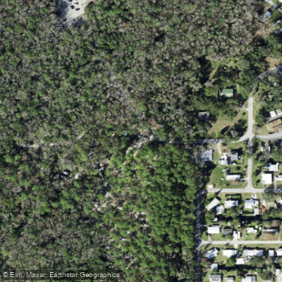
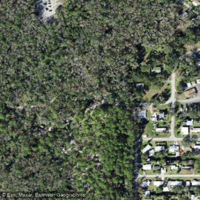
Learn how to get on Chassahowitzka Bay. Uncover great paddling access points, boat ramps, and all the facilities you need for an unforgettable day on the water. Some locations shown may border or include private property. Always check property boundaries and applicable regulations before visiting. PaddleWays's Public & Private Land layer can help you plan your access with confidence.
Paddle smarter with real-time insights
Whether you're en route and conditions shift or you're looking for the best spot based on current flows, we enable you to make informed decisions on the fly.








Find Places to Paddle

Over 400,000 Places to Paddle
Every user gets free access to launch points, boat ramps, and public property parcels.


Tides, wind & water conditions (10 day forecast)
On open water, wind and tide matter as much as the weather. See the best times to paddle Chassahowitzka Bay and check the marine forecast before you launch.
Loading tide predictions…
Paddling near Chassahowitzka Bay
Pithlachascotee River
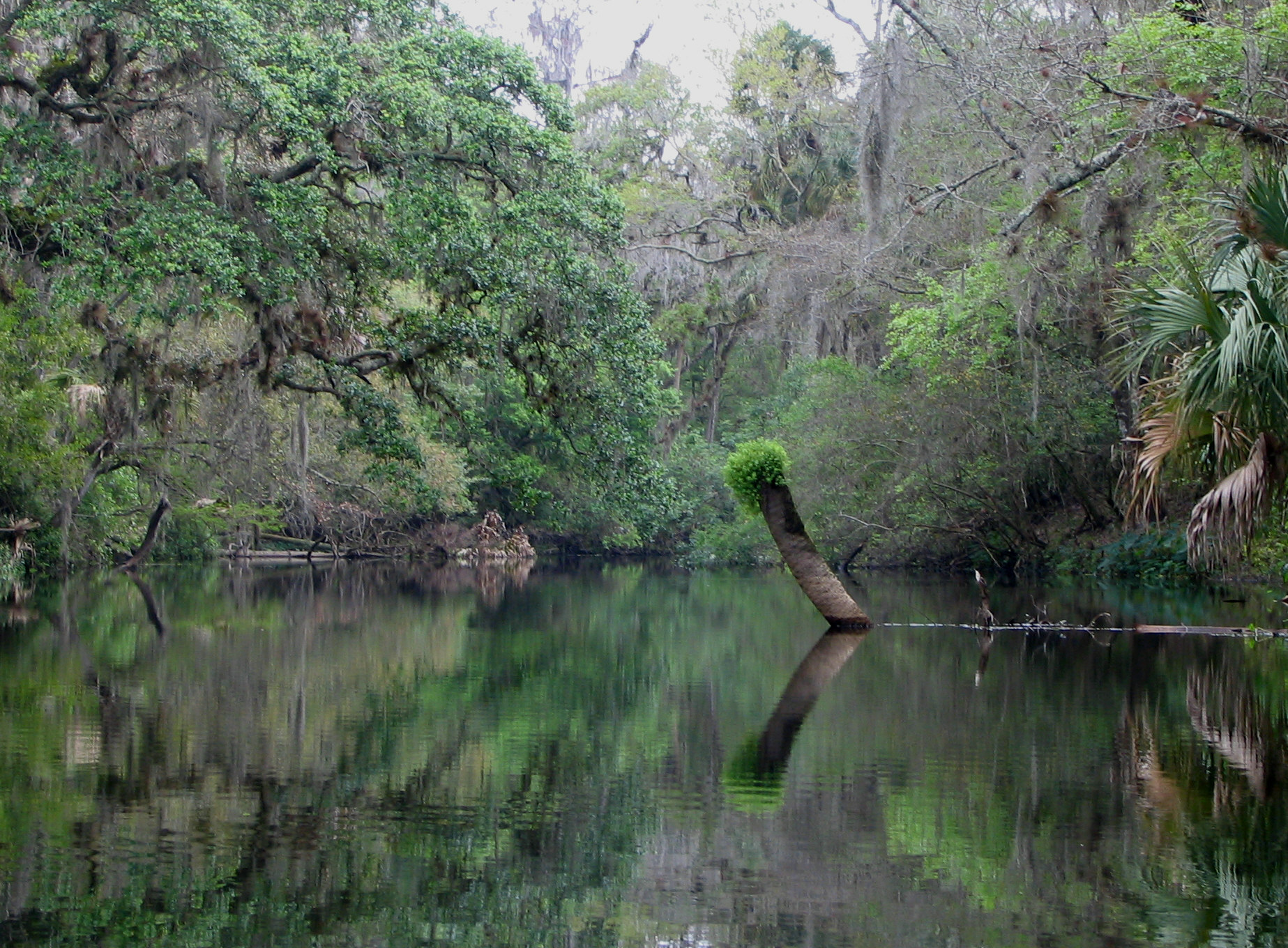
Hillsborough River
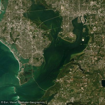
Tampa Bay
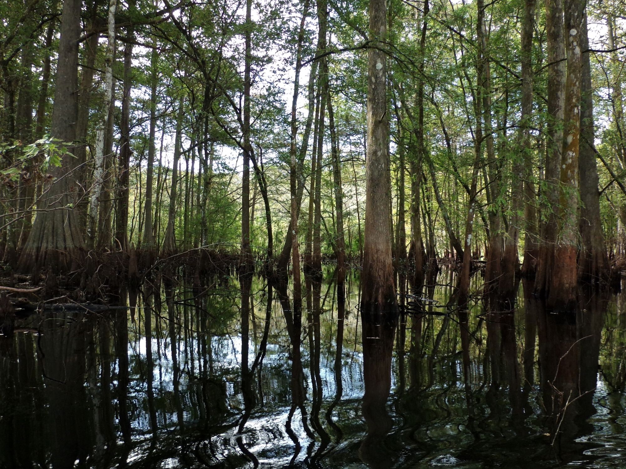
Withlacoochee River
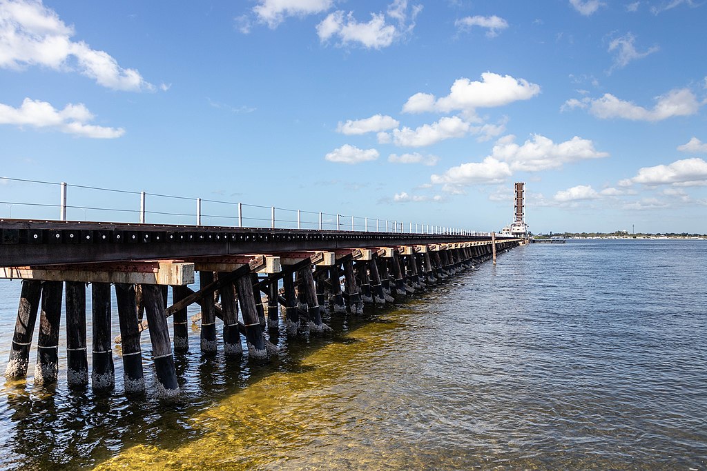
Manatee River
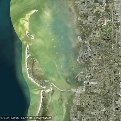
Saint Joseph Sound
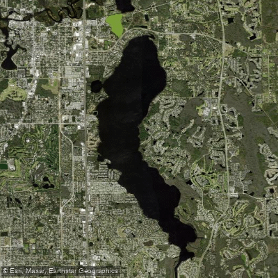
Lake Tarpon
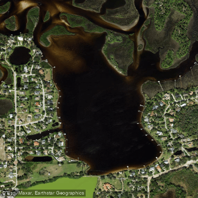
Salt Lake
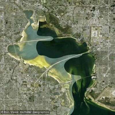
Old Tampa Bay
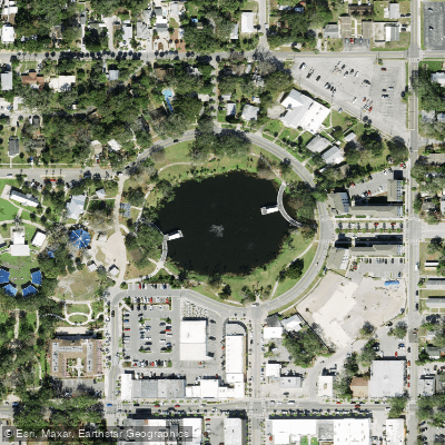
Orange Lake
Explore Florida waters
Top paddling waters
Popular Cities
Loading popular cities...
Explore near Chassahowitzka Bay

Smarter Paddling Starts in the App.
Paddleways gives you everything you need to plan smarter, paddle better, and own every trip from first launch to takeout.