Hillsboro Inlet
- Saltwater
- Inlet
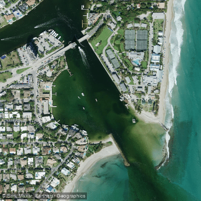
Hillsboro Inlet
- Saltwater
- Inlet
- Sq. miles
- 0
- Boat Ramps
- 0
- Access Points
- 0
- Campsites
- 1
Hillsboro Inlet is a coastal saltwater inlet connecting the Intracoastal Waterway to the Atlantic Ocean near Pompano Beach and Lighthouse Point. The primary paddling route involves traveling north along the Intracoastal Waterway from launch points like the Alsdorf Park/14th Street Boat Ramp. This concrete ramp offers hourly or daily paid parking, trailer spaces, and public restrooms, though no on-site kayak rentals. Another public access is the Hillsboro Inlet Boat Ramp on the canal, a free, single-lane facility with roughly eight trailer parking spaces, restrooms, and a picnic area, operating from dawn to dusk. Paddlers often make the trip to the historic Hillsboro Lighthouse, located at the inlet's ocean entrance, where kayaks can be beached for a rest.
The inlet itself presents significant considerations for paddlers. The channel is narrow and sees considerable commercial boat traffic, requiring constant vigilance and comfort sharing the waterway with larger vessels. Tidal currents are a major factor, with the inlet flowing strongly either in or out depending on the tide stage; paddlers must plan to either fight or utilize this current. The tidal range in the area is approximately 2.5 to 3 feet. Crossing the active inlet to reach the ocean side involves navigating a defined channel with depths around 7 feet at mean low tide, surrounded by shallower, shoaling areas that can create erratic wave patterns. The ocean entrance can frequently be too rough for safe passage, and a surf zone is often present. Local advice strongly recommends checking wind and tide conditions via NOAA resources before attempting to navigate the inlet or venture outside. A specific regulation prohibits the operation or launching of any boat within the designated public swim area of Hillsboro Inlet Park. The surrounding area is developed, with industrial views noted near some launch sites, but the lighthouse serves as a prominent landmark. On calm ocean days, the north side of the inlet's ocean jetties is noted for snorkeling access.
Water access, boat ramps & amenities
Learn how to get on Hillsboro Inlet. Uncover great paddling access points, boat ramps, and all the facilities you need for an unforgettable day on the water. Some locations shown may border or include private property. Always check property boundaries and applicable regulations before visiting. PaddleWays's Public & Private Land layer can help you plan your access with confidence.
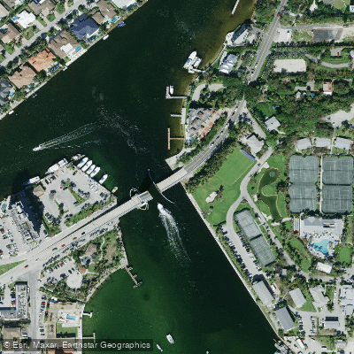
Hillsboro Inlet Bridge
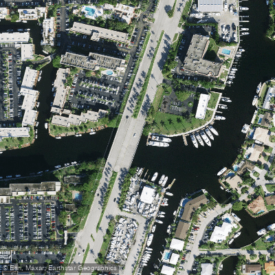
Cypress Creek Canal C-14 Bridge
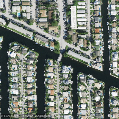
Old Pompano Canal G-16 Bridge
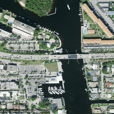
Intracoastal Waterway Bridge

I-95sr-9 Bridge
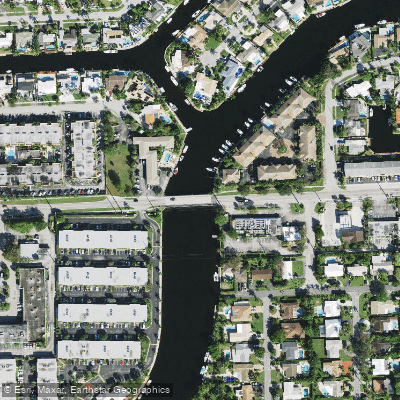
Cypress Ck C-14 Canal Bridge
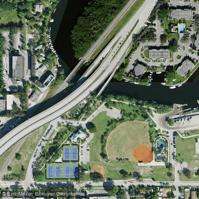
Fec R/r & Hillsboro Cana Bridge
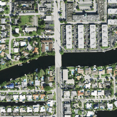
Cypress Creek Canal C-14 Bridge
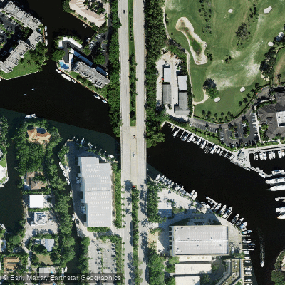
Hillsboro Canal Bridge
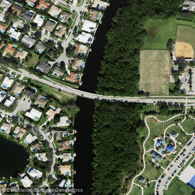
El Rio Canal Bridge
Paddle smarter with real-time insights
Whether you're en route and conditions shift or you're looking for the best spot based on current flows, we enable you to make informed decisions on the fly.








Find Places to Paddle

Over 400,000 Places to Paddle
Every user gets free access to launch points, boat ramps, and public property parcels.


Tides, wind & water conditions (10 day forecast)
On open water, wind and tide matter as much as the weather. See the best times to paddle Hillsboro Inlet and check the marine forecast before you launch.
Loading tide predictions…
Explore Florida waters
Top paddling waters
Popular Cities
Loading popular cities...
Explore near Hillsboro Inlet
Access points
- Hillsboro Inlet Bridge
- Cypress Creek Canal C-14 Bridge
- Old Pompano Canal G-16 Bridge
- Intracoastal Waterway Bridge
- I-95sr-9 Bridge
- Cypress Ck C-14 Canal Bridge
- Fec R/r & Hillsboro Cana Bridge
- Cypress Creek Canal C-14 Bridge
- Hillsboro Canal Bridge
- El Rio Canal Bridge
- Cypress Creek Canal Bridge
- Canal C-14 Bridge
- All 15 spots
More in Florida

Smarter Paddling Starts in the App.
Paddleways gives you everything you need to plan smarter, paddle better, and own every trip from first launch to takeout.