Hillsborough Bay
- Saltwater
- Bay
Hillsborough Bay
- Saltwater
- Bay
- Sq. miles
- 33
- Boat Ramps
- 5
- Access Points
- 0
- Campsites
- 0
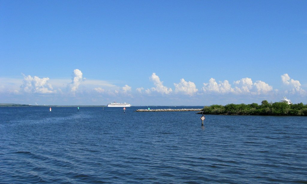
Hillsborough Bay is a saltwater bay forming the northeastern lobe of Tampa Bay on Florida's central Gulf Coast. It is a broad, open bay with a primarily urbanized shoreline, characterized by fixed docks, seawalls, and some floating docks along its edges. The bay is the terminus for the 54-mile Hillsborough River, which flows into its upper reaches. The entire Tampa Bay system, including Hillsborough Bay, experiences a tidal variance of approximately 1 to 2 feet. This tidal movement influences currents, and paddlers should account for this variance when launching from fixed structures. The bay's open nature means it can be exposed to wind and wave action, particularly during inclement weather. Cypress Point Park is located on the bay's western end offering beach access. Other potential access points include parks and marinas along the shoreline, such as those for the adjacent Upper Tampa Bay area, like Coopers Bayou or Philippe Park, which involve a fee for ramp use. The water is saltwater, and the environment is mostly urban, though paddlers can explore mangrove islands in the adjacent Upper Tampa Bay. Wildlife viewing opportunities are present, particularly where the freshwater Hillsborough River meets the bay. Due to the urban setting, paddlers should be prepared for boat traffic, especially near channels and marinas. The best times for paddling are typically during the cooler months from late fall to early spring, offering milder weather and fewer insects.
Water access, boat ramps & amenities
Learn how to get on Hillsborough Bay. Uncover great paddling access points, boat ramps, and all the facilities you need for an unforgettable day on the water. Some locations shown may border or include private property. Always check property boundaries and applicable regulations before visiting. PaddleWays's Public & Private Land layer can help you plan your access with confidence.
Paddle smarter with real-time insights
Whether you're en route and conditions shift or you're looking for the best spot based on current flows, we enable you to make informed decisions on the fly.








Find Places to Paddle

Over 400,000 Places to Paddle
Every user gets free access to launch points, boat ramps, and public property parcels.


Tides, wind & water conditions (10 day forecast)
On open water, wind and tide matter as much as the weather. See the best times to paddle Hillsborough Bay and check the marine forecast before you launch.
Loading tide predictions…
Paddling near Hillsborough Bay
Hillsborough River
Lake Parker
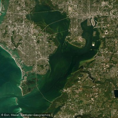
Tampa Bay
Manatee River
Withlacoochee River
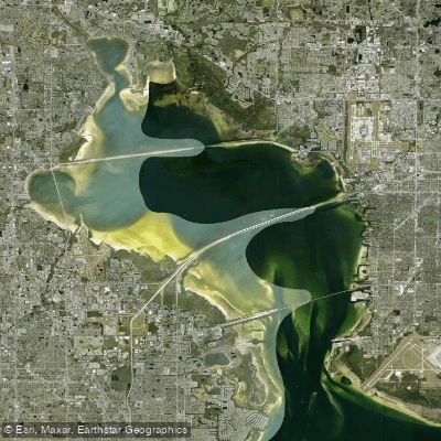
Old Tampa Bay
Pithlachascotee River
Peace River
Myakka River
Explore Florida waters
Top paddling waters
Popular Cities
Loading popular cities...
Explore near Hillsborough Bay
Access points
- Davis Island Boat Ramp
- Ballast Point Park Public Boat Ramp
- Rivercrest Park Paddlecraft Launch Dock
- Davis Island Public Boat Ramp
- Cotanchobee Fort Brooke Park Paddlecraft Launch Dock
- Hillsborough River Bridge
- Alafia River Bridge
- Kitchen Branch Bridge
- Hillsborough River Bridge
- Raceway Canal Bridge
- Hillsborough River Bridge
- Bullfrog Creek Bridge
- All 50 spots
Nearby waters
More in Florida

Smarter Paddling Starts in the App.
Paddleways gives you everything you need to plan smarter, paddle better, and own every trip from first launch to takeout.