Peace River
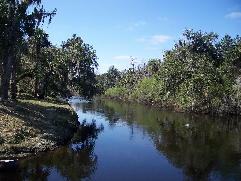
Peace River
- Boat Ramps
- 12
- Access Points
- 12
- Campsites
- 15
The Peace River is a scenic 106-mile waterway in west-central Florida, flowing south from its origin at Lake Hancock near Bartow to Charlotte Harbor on the Gulf of Mexico. This subtropical river system drains a watershed of approximately 2,350 square miles across Polk, Hardee, DeSoto, and Charlotte counties. The river offers excellent paddling opportunities along its entire length, with a designated 67-mile Peace River Paddling Trail from Fort Meade to Arcadia. This trail is divided into upper, middle, and lower sections, each with its own character.
The upper section from Bartow to Fort Meade can be shallow and challenging during low water periods. The middle and lower sections become progressively wider and more navigable. Overall, the Peace River is a flatwater paddling experience suitable for beginners to intermediate paddlers. However, water levels can significantly impact difficulty, especially in the upper reaches. The best paddling times are typically from late fall through spring when water levels are higher and temperatures more moderate.
The river's ecosystem is rich with diverse flora and fauna. Paddlers can expect to see cypress swamps, hardwood forests, and Spanish moss-draped oaks lining the banks. Wildlife sightings may include alligators, turtles, and a variety of wading birds and waterfowl.
One of the Peace River's most unique features is its reputation for fossil hunting. The riverbed contains traces of prehistoric life dating back millions of years, making it a popular destination for amateur paleontologists.
Key access points include Bartow, Fort Meade, Bowling Green, Zolfo Springs, Gardner, and Arcadia. These towns provide convenient put-in and take-out locations for day trips or multi-day adventures.
Historically, the Peace River played a crucial role in Florida's development, serving as a transportation route and supporting early settlements. Today, it remains an important ecological and recreational resource.
Safety considerations include monitoring water levels, being aware of alligators, and checking weather forecasts before trips. Paddlers should also be mindful of private property along the banks and camp only in designated areas.
For those seeking a multi-day experience, the full 67-mile paddling trail can be completed in 3-5 days, with primitive camping available at several locations along the route. This extended trip offers a comprehensive immersion into the natural beauty and prehistoric legacy of Florida's Peace River.
Water access, boat ramps & amenities
Learn how to get on Peace River. Uncover great paddling access points, boat ramps, and all the facilities you need for an unforgettable day on the water. Some locations shown may border or include private property. Always check property boundaries and applicable regulations before visiting. PaddleWays's Public & Private Land layer can help you plan your access with confidence.
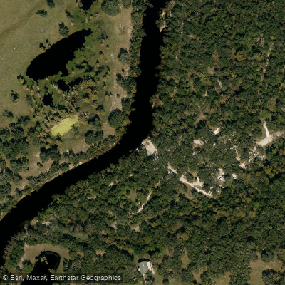
Brownville Park Boat Ramp
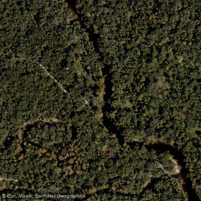
Paynes Creek Historic State Park Boat Ramp
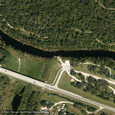
DeSoto Veterans Park Boat Ramp
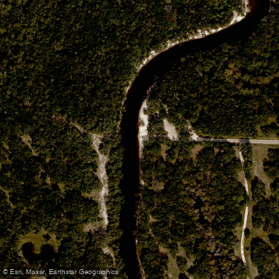
Gardner Boat Ramp
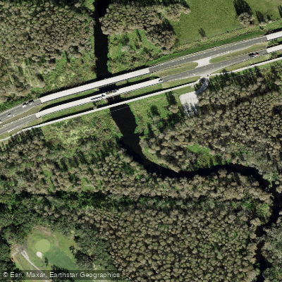
Peace River Boat Ramp
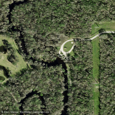
Fort Meade Outdoor Recreation Area Boat Ramp
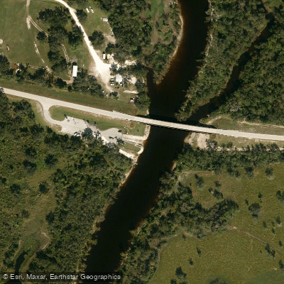
Nocatee Boat Ramp
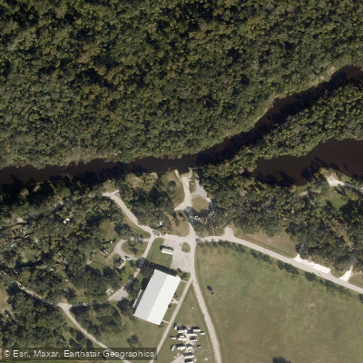
Pioneer Park Boat Ramp
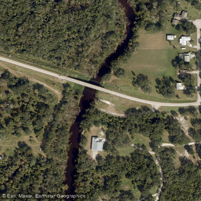
Griffin Road Bridge Boat Ramp
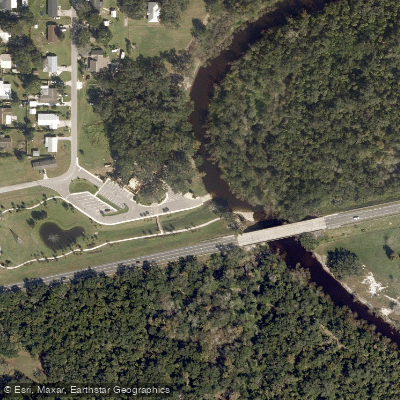
Wauchula Crews Riverside Park Boat Ramp
Paddle smarter with real-time insights
Whether you're en route and conditions shift or you're looking for the best spot based on current flows, we enable you to make informed decisions on the fly.








Find Places to Paddle

Over 400,000 Places to Paddle
Every user gets free access to launch points, boat ramps, and public property parcels.


Water and weather conditions (10 day forecast)
See the best times to paddle Peace River and check the forecast before you go.
BARBER BRANCH NEAR HOMELAND FL
All Flow Stations
Paddling near Peace River
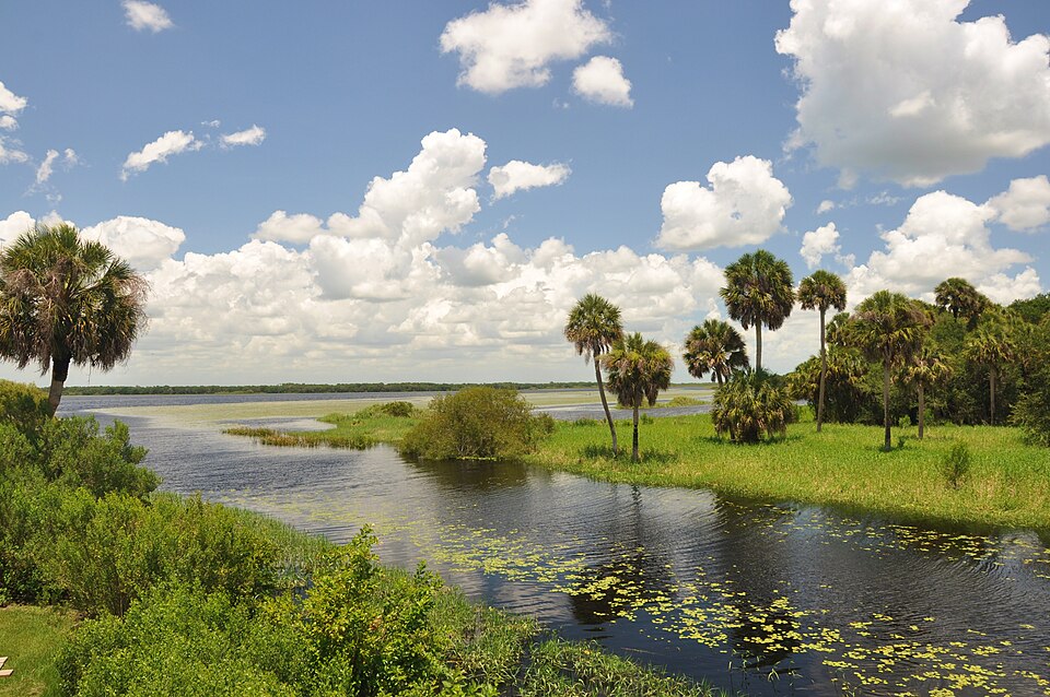
Myakka River
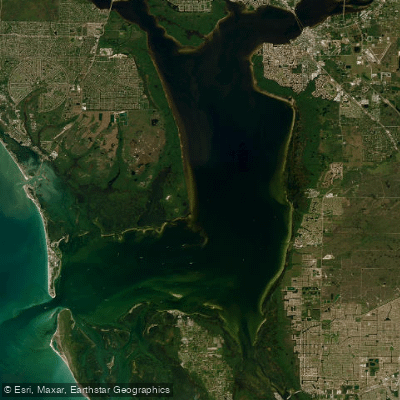
Charlotte Harbor
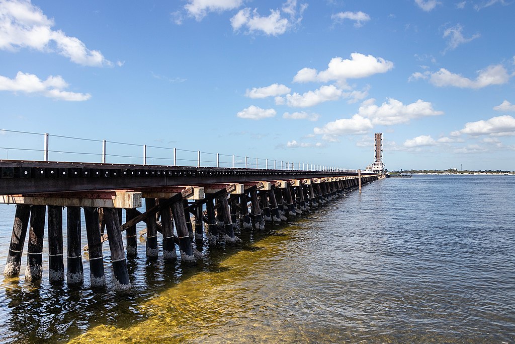
Manatee River
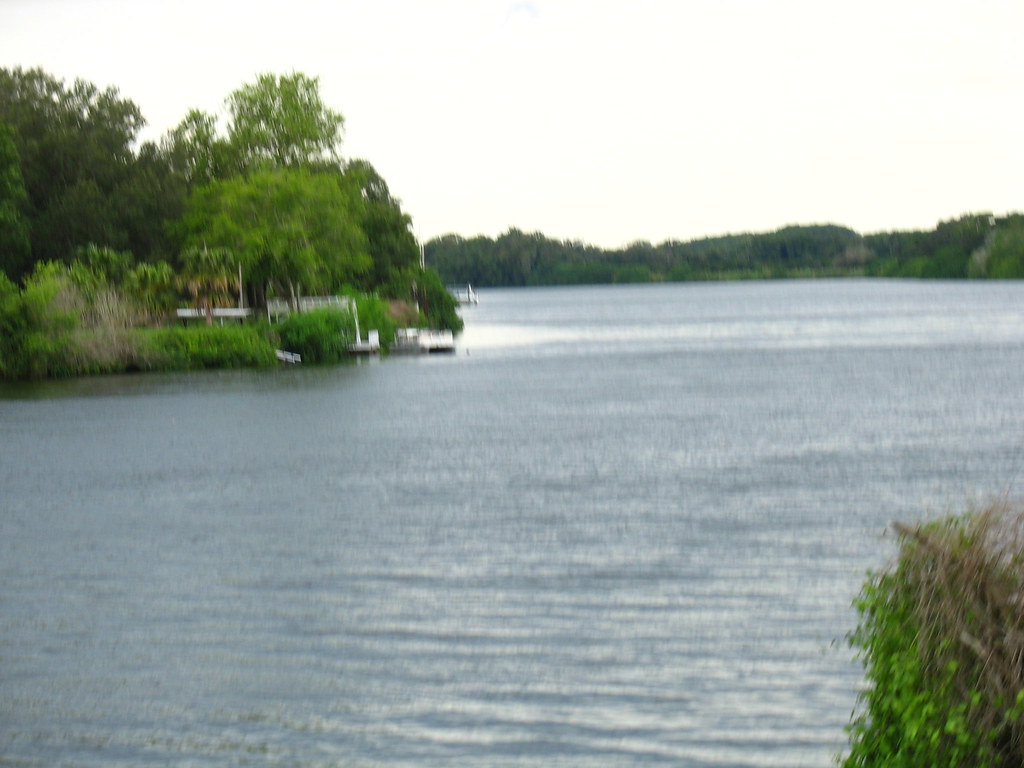
Caloosahatchee River
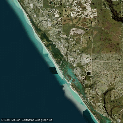
Lemon Bay
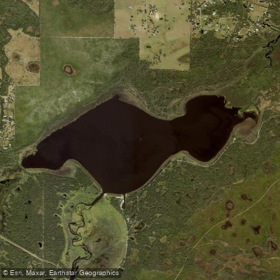
Lake Myakka
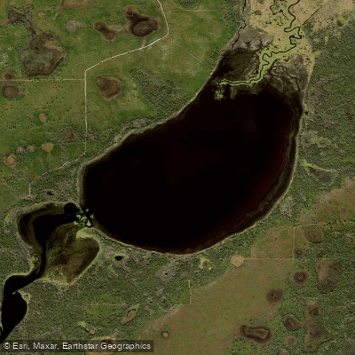
Lower Myakka Lake
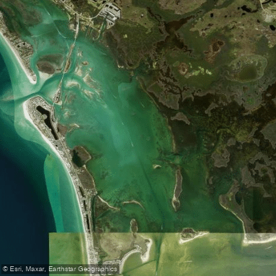
Gasparilla Sound
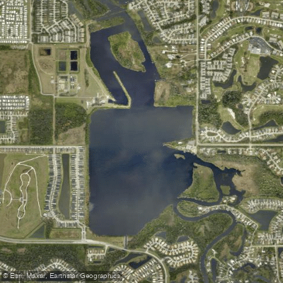
Ward Lake
Explore Florida waters
Top paddling waters
Popular Cities
Loading popular cities...
Explore near Peace River
Access points
- Brownville Park Boat Ramp
- Paynes Creek Historic State Park Boat Ramp
- DeSoto Veterans Park Boat Ramp
- Gardner Boat Ramp
- Peace River Boat Ramp
- Fort Meade Outdoor Recreation Area Boat Ramp
- Nocatee Boat Ramp
- Pioneer Park Boat Ramp
- Griffin Road Bridge Boat Ramp
- Wauchula Crews Riverside Park Boat Ramp
- Heritage Peace River Landing Boat Ramp
- Peace River Boat Ramp
- All 117 spots
Nearby waters
More in Florida

Smarter Paddling Starts in the App.
Paddleways gives you everything you need to plan smarter, paddle better, and own every trip from first launch to takeout.