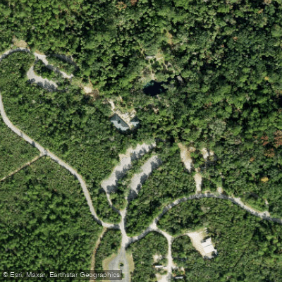
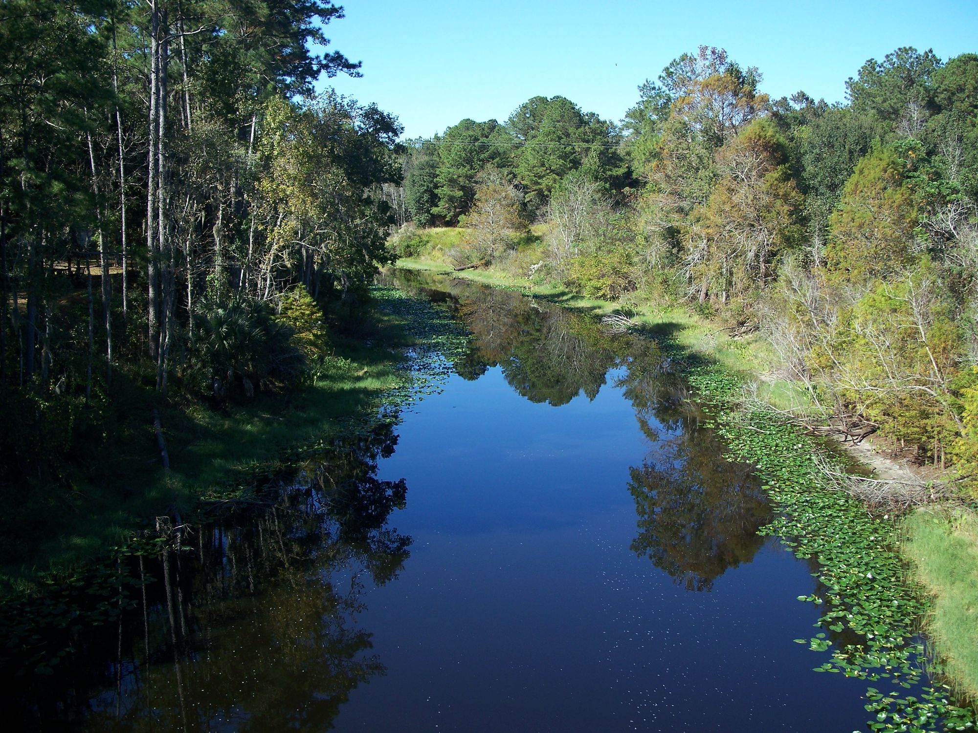
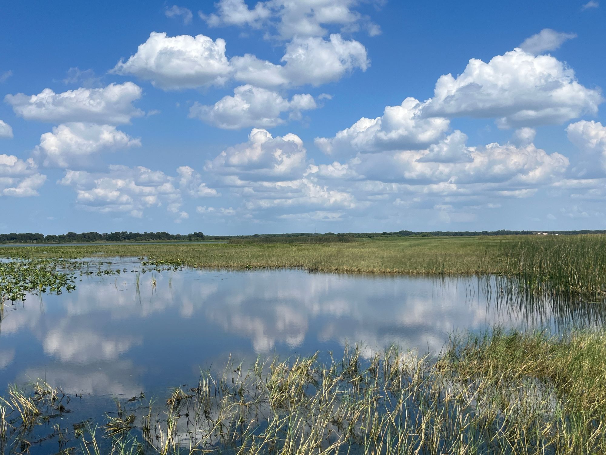
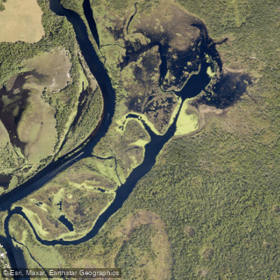
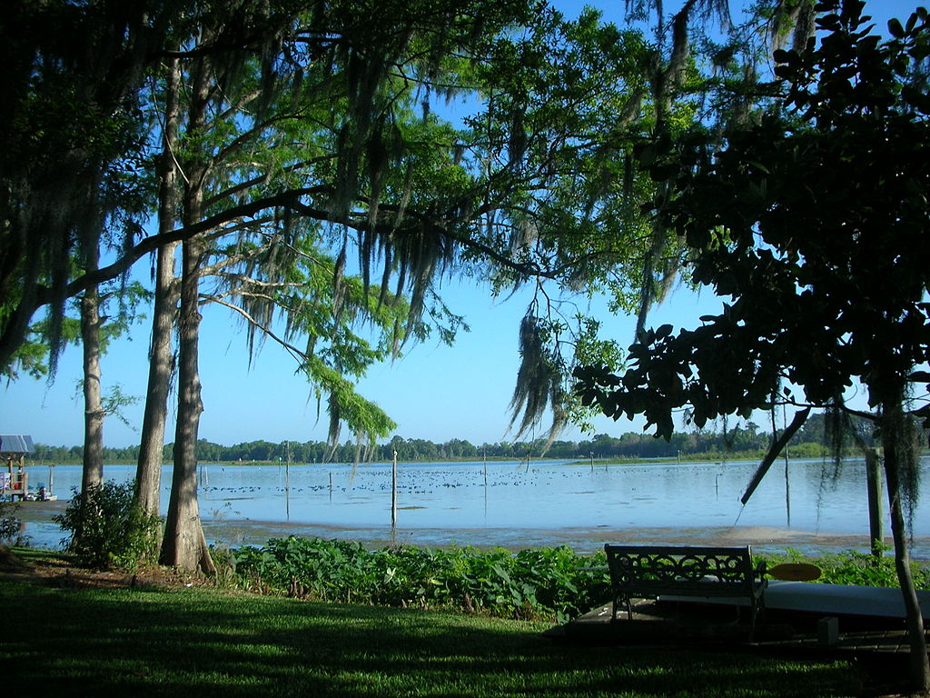
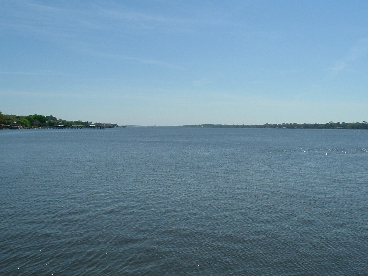
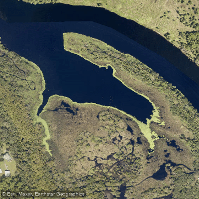
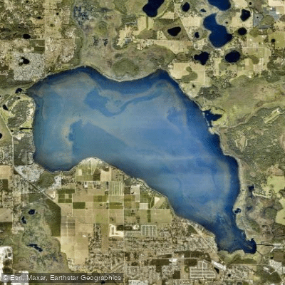
Juniper Creek originates from Juniper Springs, a third-magnitude spring within the Juniper Springs Recreation Area in the Ocala National Forest, Marion County. The creek flows approximately 10 miles northward then eastward through the Juniper Prairie Wilderness before reaching Lake George and ultimately the St. Johns River. The waterway maintains crystal-clear water for over 9 miles before darkening and widening as it approaches the lake, with numerous sandy shallows, narrow channels featuring eelgrass and lime rock bottoms characterizing its course.
The paddling experience divides into two distinct sections. The Upper Juniper Creek run, from Juniper Springs Recreation Area to Juniper Wayside at Highway 19, covers 7 miles and ranks among the top 25 canoe runs in America. This section features a swift current, especially in the upper reaches, with water depths ranging from under a foot to 2.5 feet in the main channel. The creek width varies from 15 to 25 feet, requiring constant maneuvering under overhanging trees and around submerged logs. The Lower Juniper Creek continues from Juniper Wayside for approximately 3 miles, eventually connecting to Lake George via Little Juniper Creek. This section widens to 50-200 feet with slower current and darker water.
Difficulty ranges from moderate to difficult on the upper section, demanding solid paddling skills, the ability to navigate tight spaces, and stamina for 3.5 to 5 hours of active paddling. The lower section presents easier conditions but challenges paddlers with shallow water requiring portages during low flows, plus the need to paddle against current on return trips. High winds on Lake George can complicate lower section paddling.
The creek flows year-round with spring-fed consistency, though water levels fluctuate seasonally. During rainy periods, side creek inflow creates stronger currents throughout. Summer heat necessitates early starts and ample hydration.
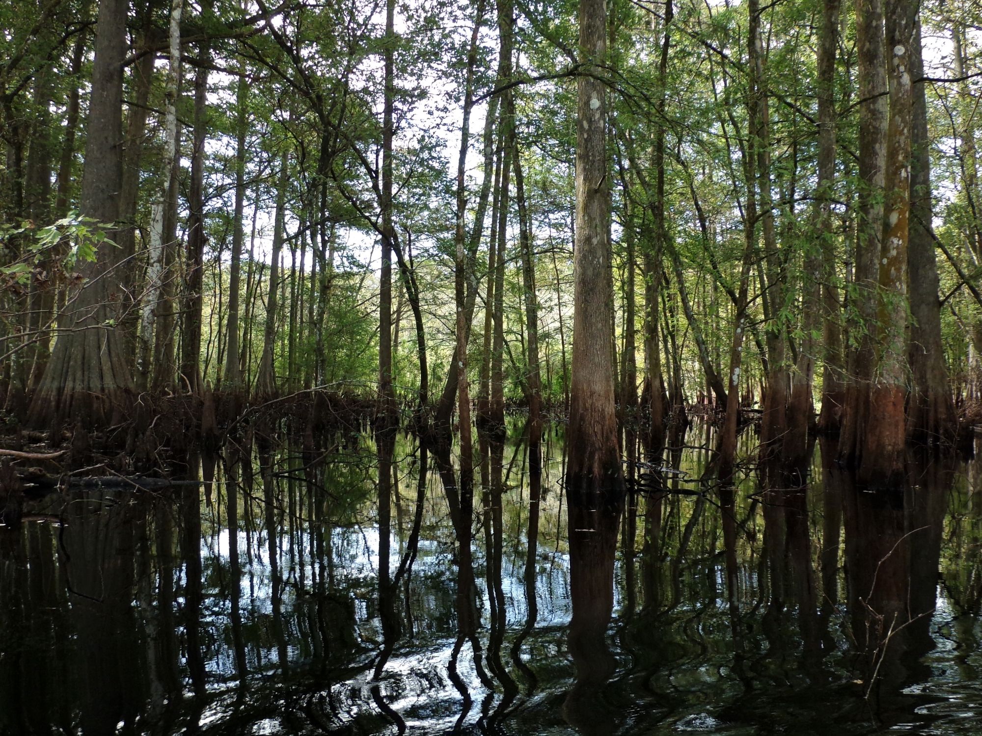
Vegetation transitions from tropical jungle-like palm groves in the headwaters to riverine swamp with cabbage palms, wax myrtle, dahoon holly, and bald cypress through the Juniper Prairie Wilderness. Scarlet rose mallows, swamp lilies, and salt marsh mallows bloom throughout the paddling season. Wildlife includes alligators, soft-shell turtles, otters, ospreys, and schools of mullet.
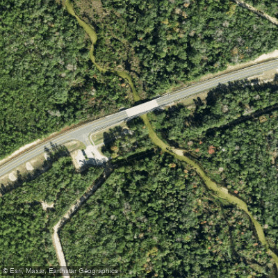
Notable features include a brief rapid section approximately 5 miles downstream from Juniper Springs, created by a submerged log and underground spring. Sweetwater Spring Run enters from the left near the Highway 19 bridge. Multiple sandbars with firm sandy bottoms provide rest opportunities, particularly in the middle sections.
Access points include Juniper Springs Recreation Area (requiring $5 entry fee plus rental/shuttle fees), Juniper Wayside at Highway 19 (free access with paved parking and concrete ramp), and Lake George Public Boat Ramp for lower section paddlers. The nearest towns are Silver Springs and Astor. No disposable or inflatable watercraft are permitted on the creek, and coolers are inspected at launch. The waterbody is impaired for mercury in fish tissue, with consumption advisories in effect.
Extended trips can combine paddling with hiking the Florida National Scenic Trail, which parallels portions of the creek.