Lake Rousseau
Lake Rousseau
- Boat Ramps
- 4
- Access Points
- 7
- Campsites
- 9
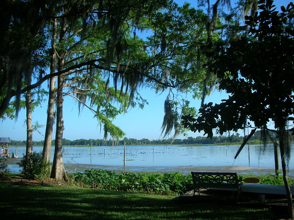
Lake Rousseau is a 3,657-acre man-made lake in west central Florida, bordered by Levy, Citrus, and Marion counties. The lake is fed by the Rainbow and Withlacoochee Rivers, providing millions of gallons of fresh water daily. Paddlers can access the lake from the Inglis Dam Recreation Area, which offers a paved boat ramp and parking area on the western end.
The lake is known for its abundance of vegetation and natural cover, making it popular for bass fishing. Paddlers will encounter a stumpy environment with numerous palms, oaks, and ferns lining the shoreline. The old Withlacoochee River channel cuts through the lake, leading to the Inglis Dam and Cross Florida Barge Canal.
From the dam, paddlers can explore a 1.6-mile scenic stretch of the Withlacoochee River before reaching the Cross Florida Barge Canal. This river section features a pleasant canopy overhead and averages 75-125 feet wide. The barge canal itself is a wider 250-foot channel leading toward the Gulf of Mexico, offering a different paddling experience with shrubs and scrub trees along the banks.
Paddlers should be aware that water levels and flow can vary based on dam releases and tidal influences. The area is subject to occasional breezy conditions. Multi-use platforms along the lakeshore provide spots for resting or wildlife viewing. Restroom facilities are available at the main launch area and at various points along the canal.
Lake Rousseau is part of the Marjorie Harris Carr Cross Florida Greenway, connecting it to a broader network of recreational opportunities. The lake's creation dates back to the early 1900s when it was originally dammed for hydroelectric power to support the phosphate mining industry.
Water access, boat ramps & amenities
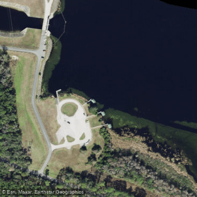
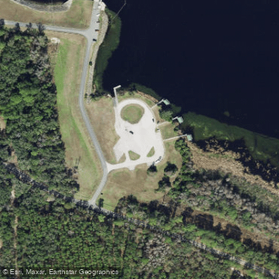
Learn how to get on Lake Rousseau. Uncover great paddling access points, boat ramps, and all the facilities you need for an unforgettable day on the water. Some locations shown may border or include private property. Always check property boundaries and applicable regulations before visiting. PaddleWays's Public & Private Land layer can help you plan your access with confidence.
Paddle smarter with real-time insights
Whether you're en route and conditions shift or you're looking for the best spot based on current flows, we enable you to make informed decisions on the fly.








Find Places to Paddle

Over 400,000 Places to Paddle
Every user gets free access to launch points, boat ramps, and public property parcels.


Water and weather conditions (10 day forecast)
See the best times to paddle Lake Rousseau and check the forecast before you go.
WITHLACOOCHEE R AT INGLIS DAM NEAR DUNNELLON, FL
All Flow Stations
Paddling near Lake Rousseau
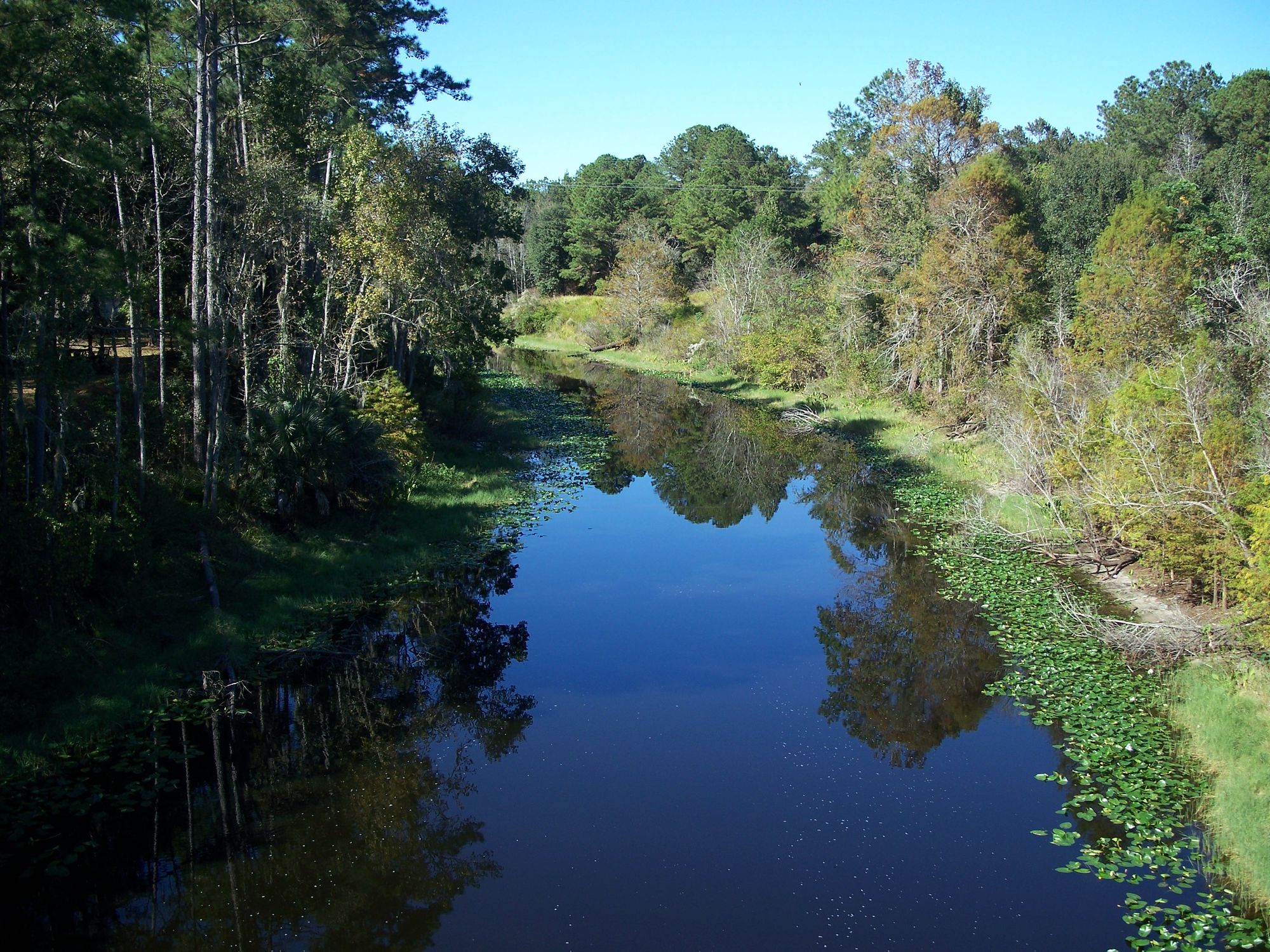
Ocklawaha River
Saint Martins Reefs
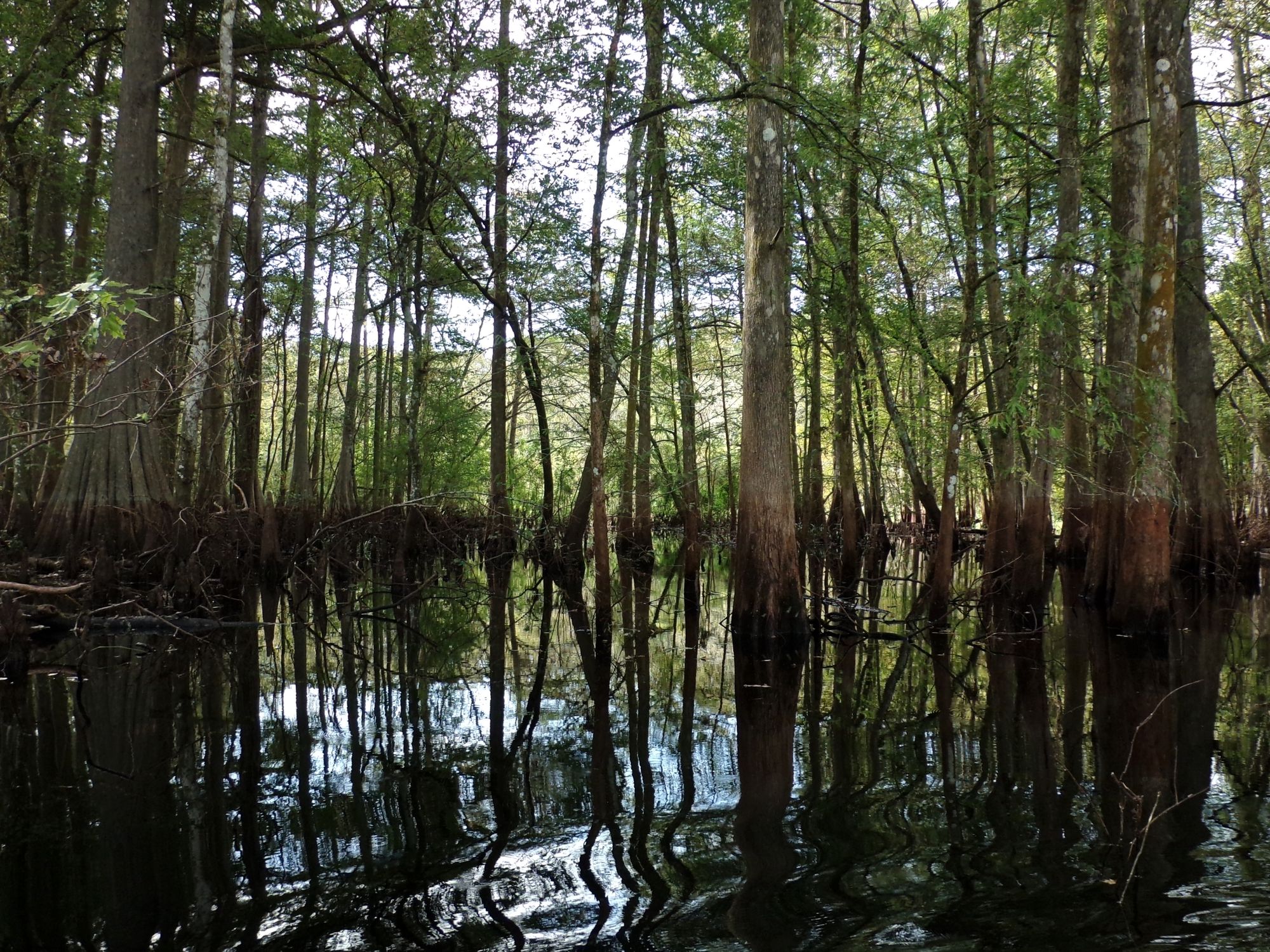
Withlacoochee River

Saint Johns River
Withlacoochee Bay
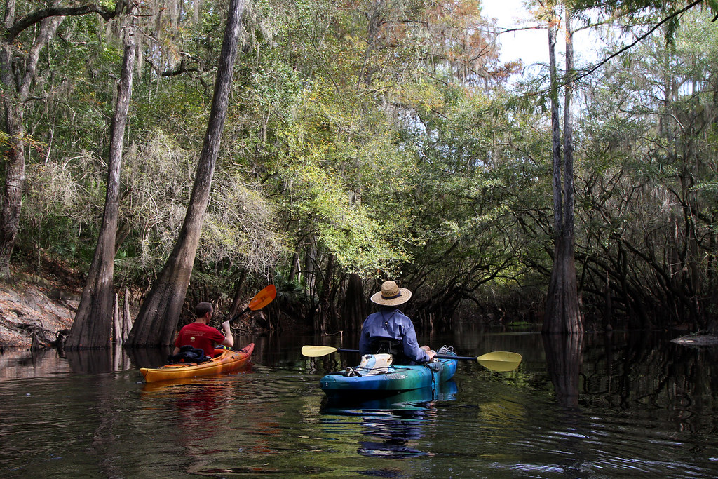
Santa Fe River
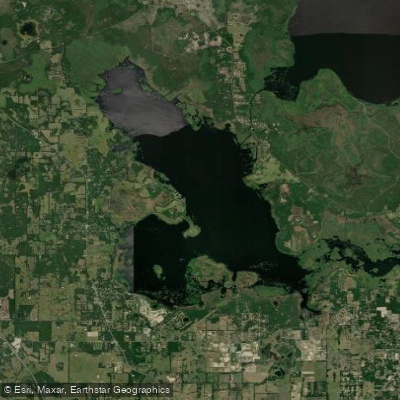
Orange Lake
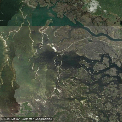
Crystal Bay
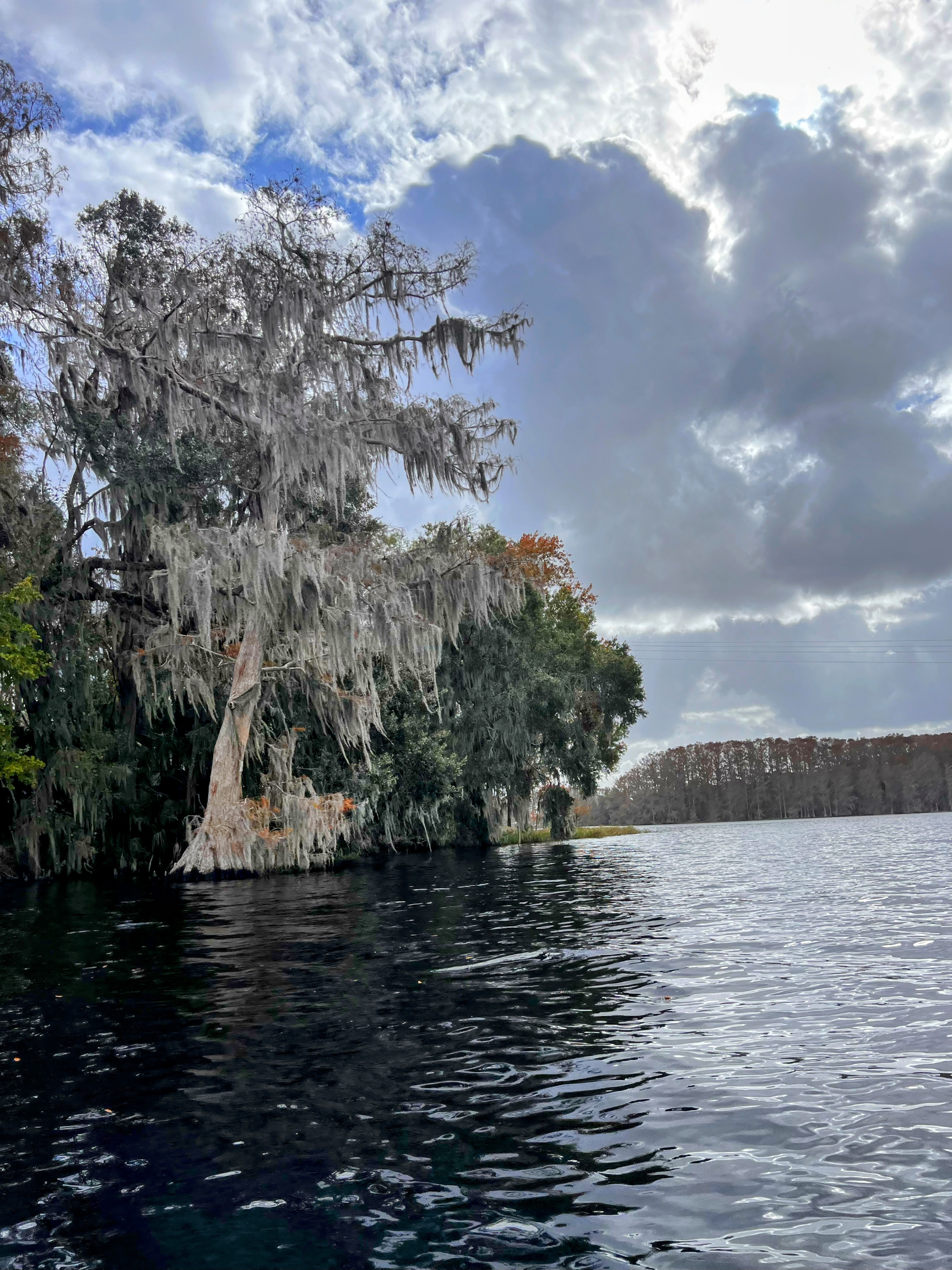
Tsala Apopka Lake
Explore Florida waters
Top paddling waters
Popular Cities
Loading popular cities...
Explore near Lake Rousseau
Access points
- Goldendale Public Boat Ramp
- Buddy's Lakeside Park Boat Ramp
- Kitty Lane Public Boat Ramp
- Lake Rousseau Boat Ramp
- Marjorie Harris Carr Cross Florida Greenways Access
- Marjorie Harris Carr Cross Florida Greenways Access
- Marjorie Harris Carr Cross Florida Greenways Access
- Withlacoochee River Bridge
- Rainbow River Bridge
- Blue Cove Run Bridge
- Cross Fla Barge Canal Bridge
- Withlacoochee River Bridge
- All 24 spots
Nearby waters
More in Florida

Smarter Paddling Starts in the App.
Paddleways gives you everything you need to plan smarter, paddle better, and own every trip from first launch to takeout.