Ocklawaha River
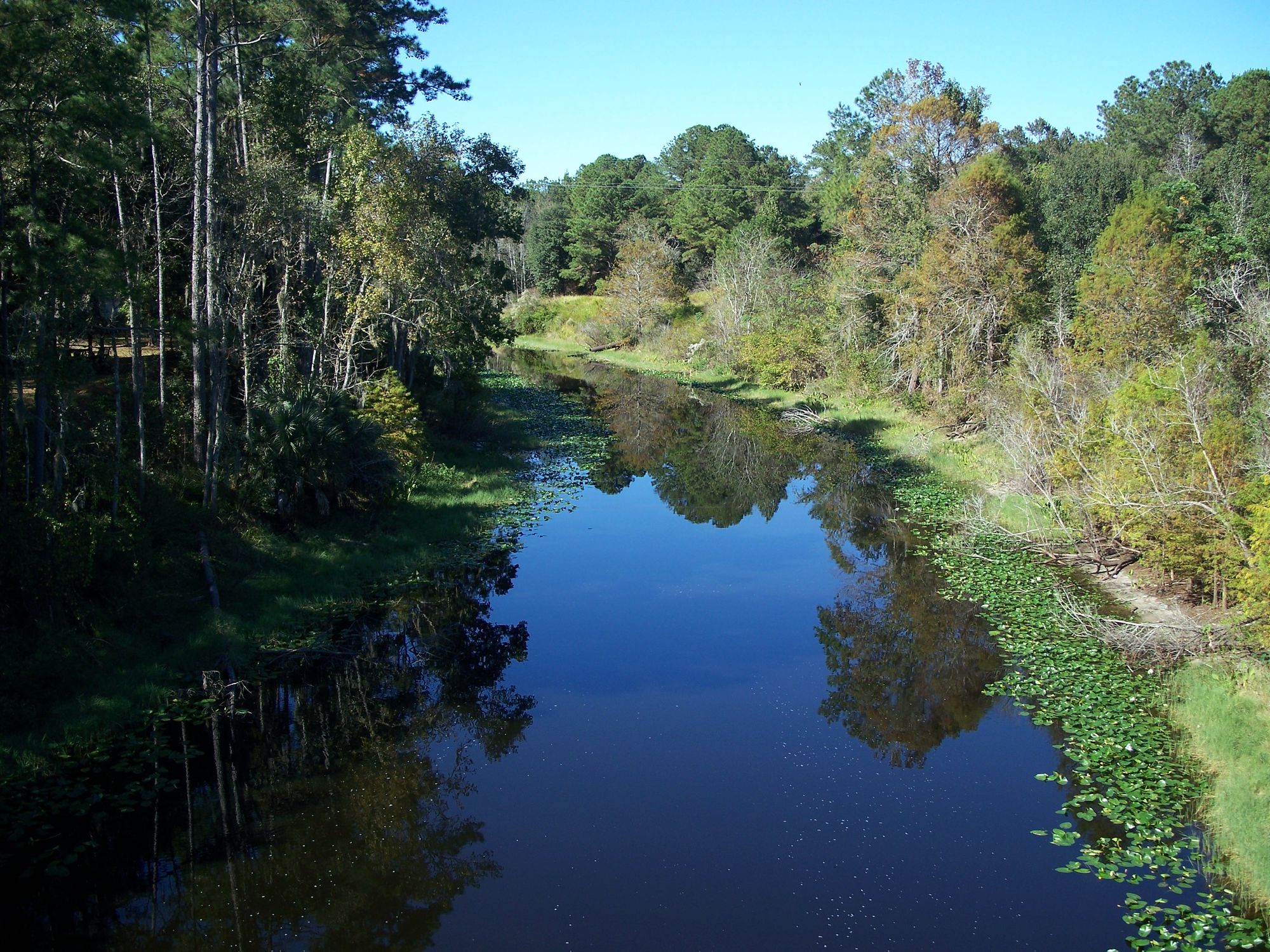
Ocklawaha River
- Boat Ramps
- 6
- Access Points
- 9
- Campsites
- 28
The Ocklawaha River is a stunning waterway that flows for 74 miles through central Florida, from Lake Griffin to the St. Johns River. As one of the few rivers in the United States that flows south to north, the Ocklawaha offers paddlers a unique and scenic journey through the heart of the Sunshine State.
The river is divided into several distinct sections, each offering its own charm and paddling experience. The upper section, from Moss Bluff to Ray Wayside, winds through a landscape of bald cypress trees and diverse wildlife. The middle section, which forms the western and northern boundaries of the Ocala National Forest, is known for its pristine, wild character and excellent tree canopy. The lower section, from Rodman Dam to Highway 19, provides glimpses into Florida's natural beauty and rich history.
Paddlers of all skill levels will find suitable stretches along the Ocklawaha. Most sections are classified as flatwater, making them ideal for beginners and families. However, more experienced paddlers will appreciate the river's twists, turns, and occasional obstacles, which add interest to the journey.
Spring and fall are generally the best times to paddle the Ocklawaha, offering comfortable temperatures and lower chances of afternoon thunderstorms. Summer trips are possible but require early starts to avoid the heat of the day.
The river teems with wildlife, including alligators, turtles, herons, and ibises. Lucky paddlers might spot otters or even the occasional manatee in some sections. The shoreline is adorned with a variety of flora, including scarlet rose mallow, swamp lilies, and the iconic Spanish moss draped from overhanging trees.
Notable landmarks along the river include the historic Davenport Landing, once a steamboat stop and the site of an Indian burial mound. The junction of the Silver River, which flows from the famous Silver Springs, is another highlight. Paddlers can also explore side creeks like Bear Creek for a change of scenery.
Popular access points include Ray Wayside Park, Gores Landing, and the Kirkpatrick Dam (also known as Rodman Dam). The nearby towns of Fort McCoy and Eureka provide additional amenities for paddlers.
The Ocklawaha holds significant historical importance as a major transportation route in the 19th and early 20th centuries. Today, it remains a subject of environmental interest, with ongoing discussions about river restoration and dam removal.
Safety considerations include being aware of alligators and snakes, especially during warmer months. Paddlers should also watch for submerged logs and overhanging branches, particularly after storms. It's advisable to check water levels and weather forecasts before embarking on a trip.
For those seeking a multi-day adventure, the Ocklawaha offers excellent opportunities. A popular option is to combine the Silver River to Gores Landing section (10 miles) with the Gores Landing to Eureka section (8.5 miles), creating a scenic two-day journey through some of the river's most beautiful stretches.
Whether you're looking for a short day trip or an extended wilderness experience, the Ocklawaha River provides a perfect blend of natural beauty, wildlife encounters, and paddling enjoyment for all who venture onto its waters.
Water access, boat ramps & amenities
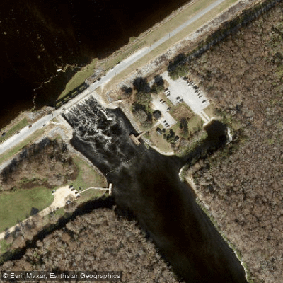
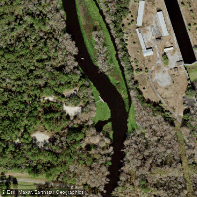
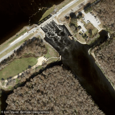
Learn how to get on Ocklawaha River. Uncover great paddling access points, boat ramps, and all the facilities you need for an unforgettable day on the water. Some locations shown may border or include private property. Always check property boundaries and applicable regulations before visiting. PaddleWays's Public & Private Land layer can help you plan your access with confidence.
Paddle smarter with real-time insights
Whether you're en route and conditions shift or you're looking for the best spot based on current flows, we enable you to make informed decisions on the fly.








Find Places to Paddle

Over 400,000 Places to Paddle
Every user gets free access to launch points, boat ramps, and public property parcels.


Water and weather conditions (10 day forecast)
See the best times to paddle Ocklawaha River and check the forecast before you go.
OCKLAWAHA RIVER AT MOSS BLUFF, FL
All Flow Stations
Paddling near Ocklawaha River
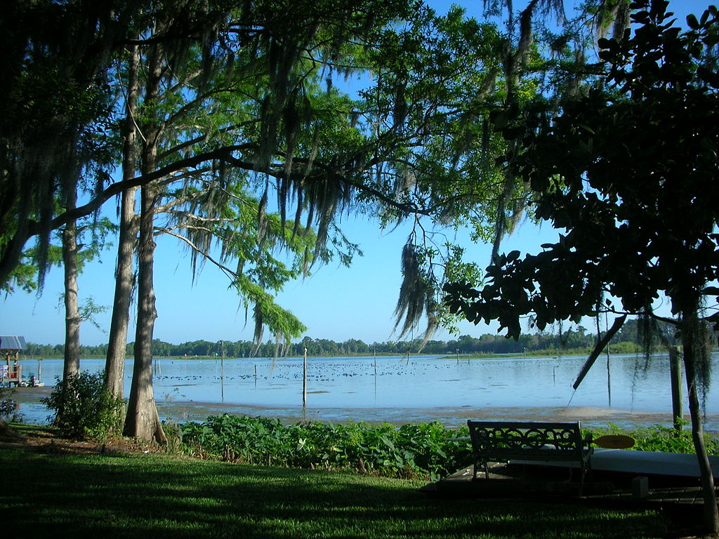
Lake Rousseau
Saint Martins Reefs
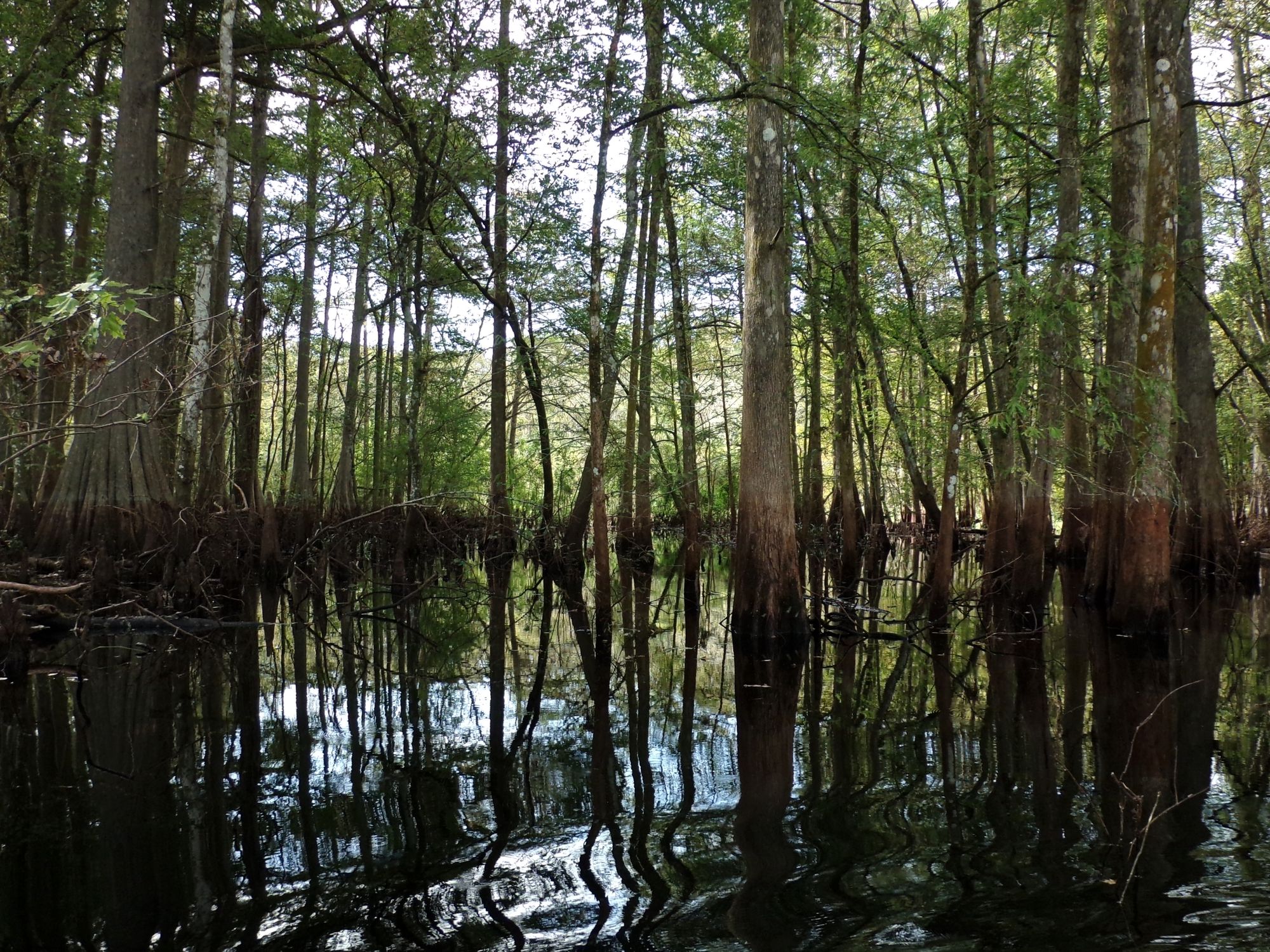
Withlacoochee River

Saint Johns River
Withlacoochee Bay
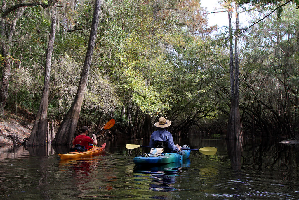
Santa Fe River
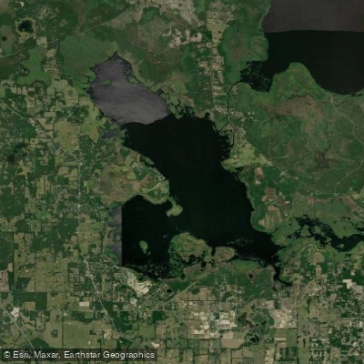
Orange Lake
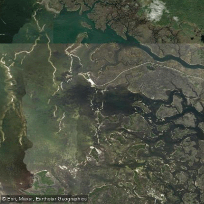
Crystal Bay
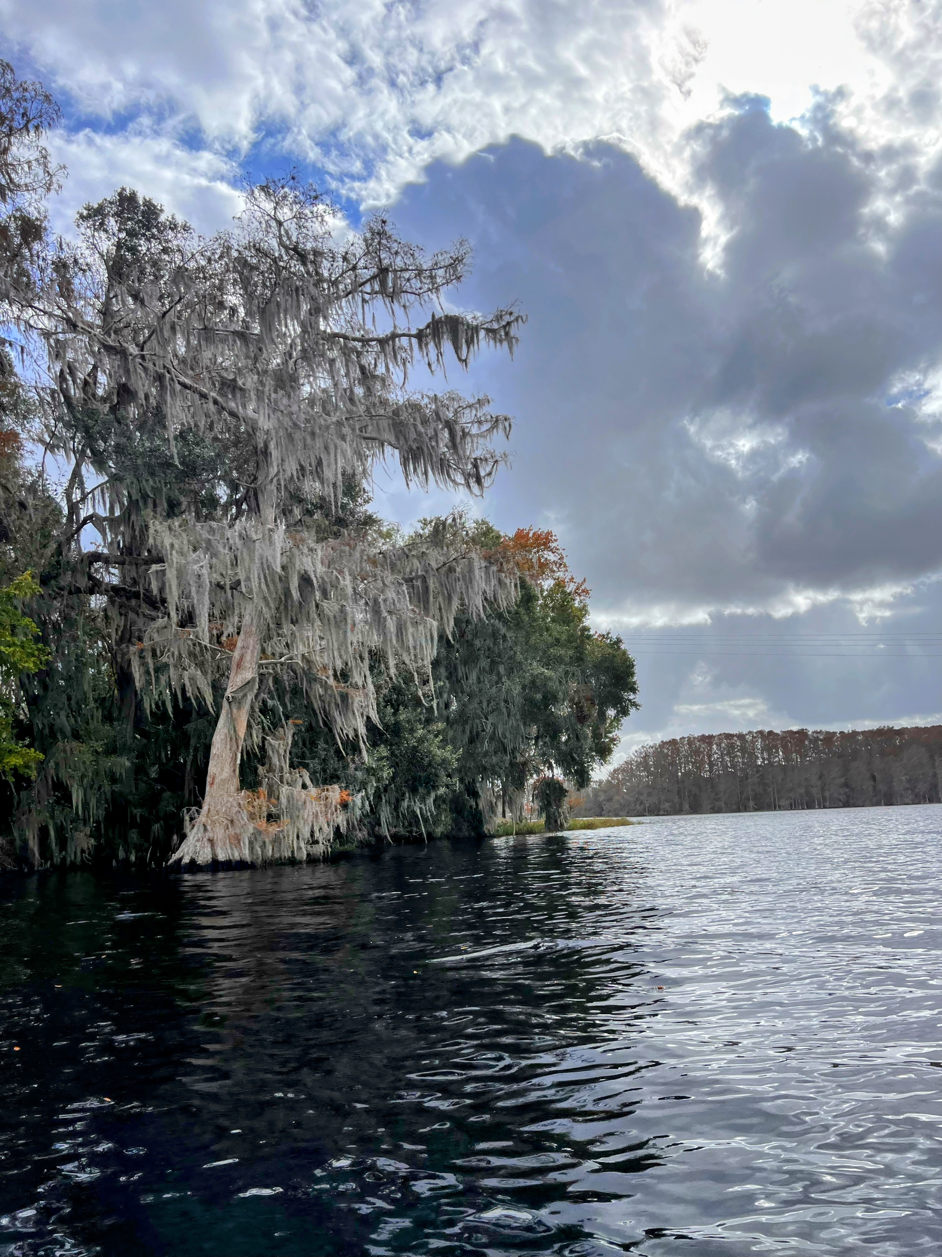
Tsala Apopka Lake
Explore Florida waters
Top paddling waters
Popular Cities
Loading popular cities...
Explore near Ocklawaha River
Access points
- Eureka East Recreation Area Boat Ramp
- Moss Bluff South Boat Ramp
- Nelsons Outdoor Resort Boat Ramp
- Gores Landing Campground Boat Ramp
- Moss Bluff North Boat Ramp
- Eureka West Recreation Area Boat Ramp
- Marjorie Harris Carr Cross Florida Greenways Access
- Marjorie Harris Carr Cross Florida Greenways Access
- Florida Greenways State Recreation Area Access
- Oklawaha River Bridge
- Ocklawaha River Bridge
- Ocklawaha River Bridge
- All 56 spots
Nearby waters
More in Florida

Smarter Paddling Starts in the App.
Paddleways gives you everything you need to plan smarter, paddle better, and own every trip from first launch to takeout.