Lake Placid
- Saltwater
- Sea area
Lake Placid
- Saltwater
- Sea area
- Sq. miles
- 0
- Boat Ramps
- 0
- Access Points
- 0
- Campsites
- 1
Lake Placid is a freshwater lake located in the High Peaks region of the Adirondack Park in New York, USA. It is a large, scenic lake surrounded by mountains, including Moose, McKenzie, and Whiteface Mountain to the northeast, offering dramatic views. The lake can be accessed via two primary public boat launches. The main Lake Placid Public Boat Launch, managed by the DEC, is a hard surface ramp off Mirror Lake Drive suitable for trailered boats, with parking for approximately 25 cars and trailers. A second, village-owned launch is located in Paradox Bay, 0.1 miles down Victor Herbert Road. Paddlers should be aware that Lake Placid can experience significant wind, creating fetch and choppy conditions, and it sees activity from motorboats. Mornings and evenings are often recommended for calmer water and less boat traffic. The lake is connected to the smaller Mirror Lake, which is located directly in the village and is a popular, protected alternative. Mirror Lake is a 128-acre, one-mile long lake where gas-powered motors are prohibited, allowing only electric motors, canoes, kayaks, and paddleboards. It has two hand-launch sites requiring a 50-yard carry: one at the park near the town beach on the southern shore and a DEC boat dock on the northern shore. Parking at the town beach park can be challenging. Mirror Lake is used for the Ironman Triathlon swim portion and is closed to recreational use on race day. Numerous local outfitters, such as Mirror Lake Boat Rental and Placid Boat Rentals, offer canoe, kayak, and stand-up paddleboard rentals from locations convenient to both lakes, typically operating from ice-out until mid-October. The surrounding area offers extensive paddling opportunities across the Adirondacks' many lakes and rivers.
Water access, boat ramps & amenities
Learn how to get on Lake Placid. Uncover great paddling access points, boat ramps, and all the facilities you need for an unforgettable day on the water. Some locations shown may border or include private property. Always check property boundaries and applicable regulations before visiting. PaddleWays's Public & Private Land layer can help you plan your access with confidence.
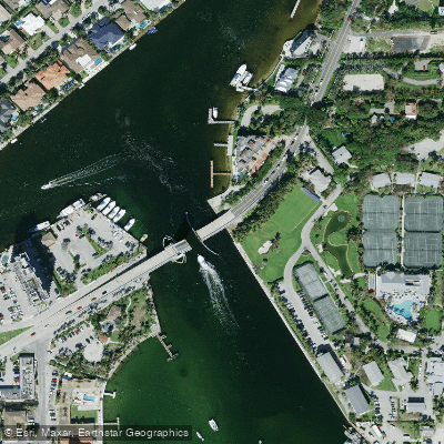
Hillsboro Inlet Bridge
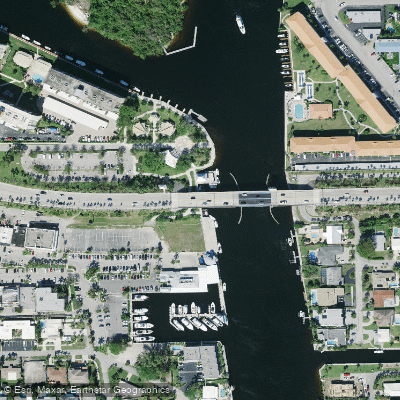
Intracoastal Waterway Bridge
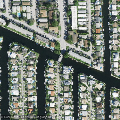
Old Pompano Canal G-16 Bridge
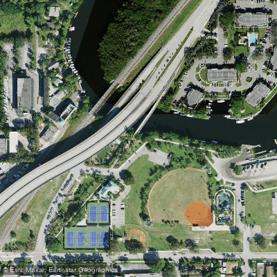
Fec R/r & Hillsboro Cana Bridge
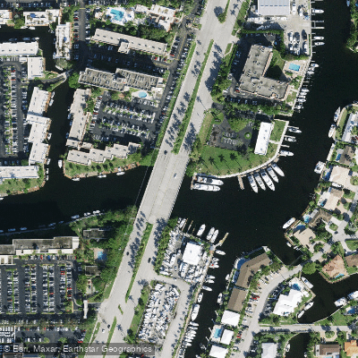
Cypress Creek Canal C-14 Bridge
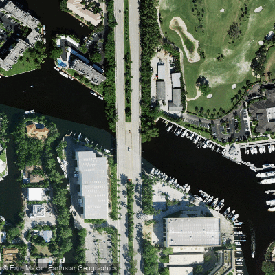
Hillsboro Canal Bridge
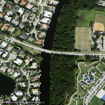
El Rio Canal Bridge
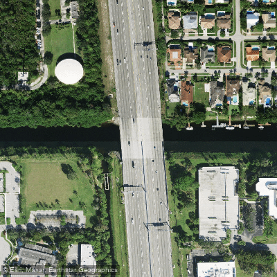
Hillsboro Canal Bridge
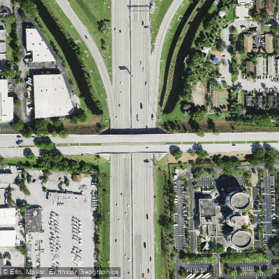
I-95sr-9 Bridge
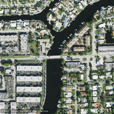
Cypress Ck C-14 Canal Bridge
Paddle smarter with real-time insights
Whether you're en route and conditions shift or you're looking for the best spot based on current flows, we enable you to make informed decisions on the fly.








Find Places to Paddle

Over 400,000 Places to Paddle
Every user gets free access to launch points, boat ramps, and public property parcels.


Tides, wind & water conditions (10 day forecast)
On open water, wind and tide matter as much as the weather. See the best times to paddle Lake Placid and check the marine forecast before you launch.
Loading tide predictions…
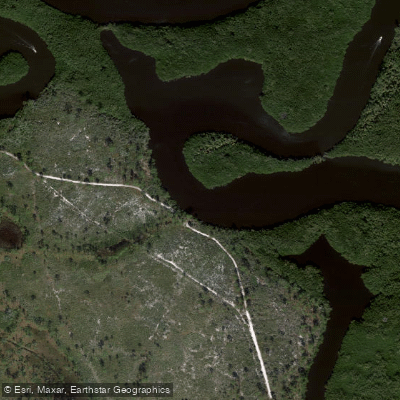
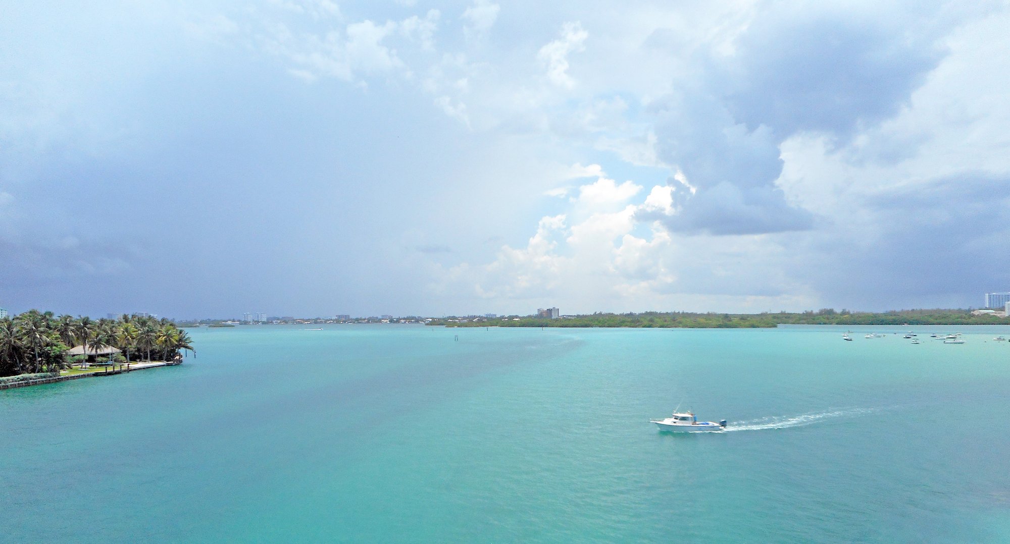
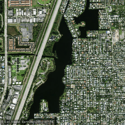
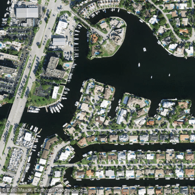
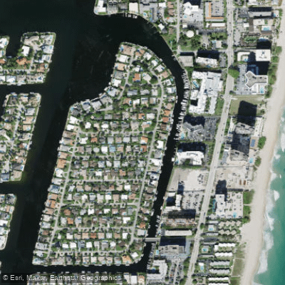
Explore Florida waters
Top paddling waters
Popular Cities
Loading popular cities...
Explore near Lake Placid
Access points
- Hillsboro Inlet Bridge
- Intracoastal Waterway Bridge
- Old Pompano Canal G-16 Bridge
- Fec R/r & Hillsboro Cana Bridge
- Cypress Creek Canal C-14 Bridge
- Hillsboro Canal Bridge
- El Rio Canal Bridge
- Hillsboro Canal Bridge
- I-95sr-9 Bridge
- Cypress Ck C-14 Canal Bridge
- Hillsboro Canal g-08 Bridge
- El Rio Canal Bridge
- All 15 spots
More in Florida

Smarter Paddling Starts in the App.
Paddleways gives you everything you need to plan smarter, paddle better, and own every trip from first launch to takeout.