Miami Canal
- Saltwater
- Sea area
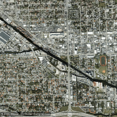
Miami Canal
- Saltwater
- Sea area
- Sq. miles
- 0
- Boat Ramps
- 2
- Access Points
- 0
- Campsites
- 1
The Miami Canal is a long, engineered freshwater canal that forms the headwaters of the Miami River, flowing approximately 55 miles from Lake Okeechobee southeast towards downtown Miami. Its character is linear and can be monotonous for paddlers attempting the entire length, with much of its course running through agricultural and industrial landscapes. A notable public access point for paddlers is the Miami Canal South of S-8, a free 24-hour boat ramp facility near South Bay, Florida, which offers a concrete launch, parking, a dock, and restrooms. This location provides calm, sheltered water suitable for beginners, with no significant current or wave hazards expected. Further downstream, the canal transitions into a busy industrial and commercial waterway as it approaches the Miami River, where paddlers must contend with significant motorboat and large ship traffic, including freighters assisted by tugboats. There is no public access to launch at the S-26 lock structure. Paddlers should be prepared to give wide berth to all commercial vessels, as they have substantial inertia and cannot stop quickly. The canal banks are often steep, so using designated launch points is advised. While the upper canal sections offer a glimpse into South Florida's extensive water management system and agricultural areas, the lower industrial zone near downtown Miami passes recycling plants, salvage yards, and shipping docks, an area historically featured in media. Wildlife encounters, including alligators, are possible, especially in the canal's upper reaches near Lake Okeechobee. The water is generally calm and flat, making it suitable for kayaking, canoeing, and stand-up paddleboarding year-round, though paddlers should be vigilant for wake from passing boats in the narrower sections.
Water access, boat ramps & amenities
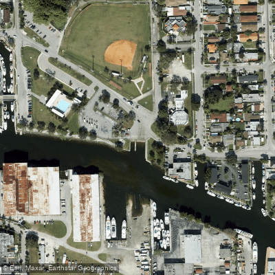
Learn how to get on Miami Canal. Uncover great paddling access points, boat ramps, and all the facilities you need for an unforgettable day on the water. Some locations shown may border or include private property. Always check property boundaries and applicable regulations before visiting. PaddleWays's Public & Private Land layer can help you plan your access with confidence.
Paddle smarter with real-time insights
Whether you're en route and conditions shift or you're looking for the best spot based on current flows, we enable you to make informed decisions on the fly.








Find Places to Paddle

Over 400,000 Places to Paddle
Every user gets free access to launch points, boat ramps, and public property parcels.


Tides, wind & water conditions (10 day forecast)
On open water, wind and tide matter as much as the weather. See the best times to paddle Miami Canal and check the marine forecast before you launch.
Loading tide predictions…
Explore Florida waters
Top paddling waters
Popular Cities
Loading popular cities...
Explore near Miami Canal
Access points
More in Florida

Smarter Paddling Starts in the App.
Paddleways gives you everything you need to plan smarter, paddle better, and own every trip from first launch to takeout.