Pensacola Bay
- Saltwater
- Bay
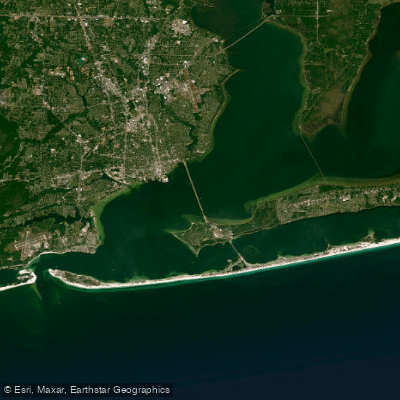
Pensacola Bay
- Saltwater
- Bay
- Sq. miles
- 62
- Boat Ramps
- 15
- Access Points
- 0
- Campsites
- 2
Pensacola Bay is a large, 150-square-mile coastal bay in northwest Florida, protected from the open Gulf of Mexico by Santa Rosa Island. The bay's connection to the Gulf is through a narrow, half-mile-wide pass near Fort Pickens, where tidal currents can be considerable, with one account noting an eight-knot flow during peak tide. This makes timing critical for paddlers transiting this inlet; planning for slack tide or paddling with the tidal flow is essential for safety. Within the sheltered bays and sounds behind the barrier islands, conditions are generally calmer and more suitable for beginners, though paddlers should always be vigilant for pleasure boat traffic, which is present year-round and increases in the summer. Access points are numerous. On the bay itself, public boat ramps like Navy Point Public Boat Ramp on Bayou Grande and Gulf Breeze Wayside Park offer 24-hour, fee-based access with amenities like parking, docks, and restrooms. In downtown Pensacola, Sanders Beach Park is undergoing revitalization to include an accessible floating kayak launch. Other nearby launch options include the 17th Avenue Boat Launch on Bayou Texar. For those seeking more natural, marshy environments, adjacent areas like Big Lagoon State Park, which features a designated kayak launch and is the start of the Florida Circumnavigational Saltwater Paddling Trail, and Big Sabine Bay on Santa Rosa Sound offer extensive salt marsh networks with shallow creeks to explore. Paddling here provides views of historical sites like Fort Pickens and the Pensacola Naval Air Station, and frequent wildlife sightings are common, including dolphins, manatees, sea turtles, and a variety of shorebirds and wading birds. The area is paddled year-round, though weather can be variable in the cooler months, with potential for wind and cold fronts. Road closures on Santa Rosa Island from past hurricane damage may affect land-based access to some areas like Fort Pickens, but these locations remain reachable by water.
Water access, boat ramps & amenities
Learn how to get on Pensacola Bay. Uncover great paddling access points, boat ramps, and all the facilities you need for an unforgettable day on the water. Some locations shown may border or include private property. Always check property boundaries and applicable regulations before visiting. PaddleWays's Public & Private Land layer can help you plan your access with confidence.
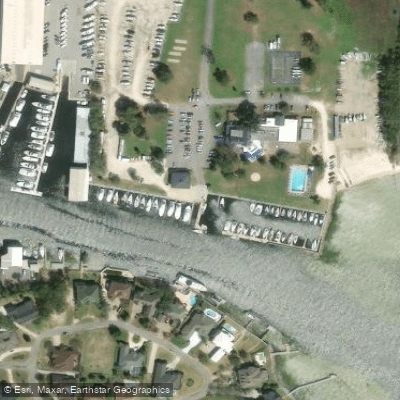
Pensacola Yacht Club Boat Ramp
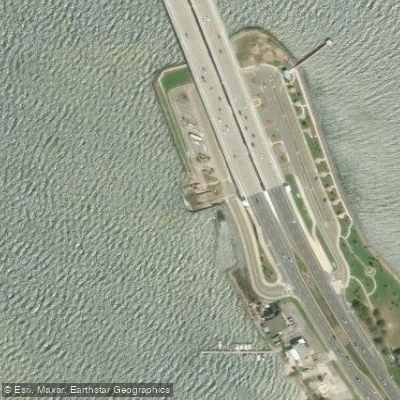
Gulf Breeze Wayside Park Boat Ramp
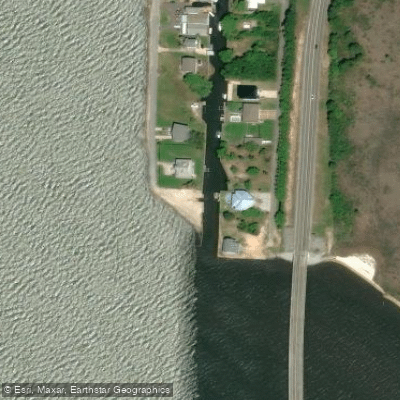
Garcon Point Boat Ramp
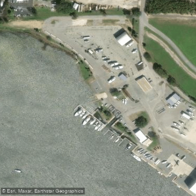
Pensacola Shipyard Marine Complex
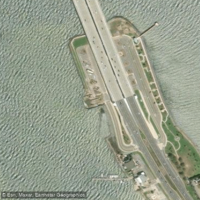
Gulf Breeze Wayside Park West (CLOSED DURING BRIDGE CONSTRUCTION)
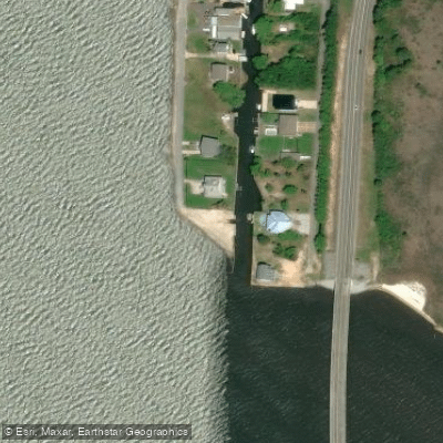
Garcon Point Public Boat Ramp
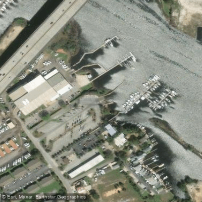
Mahogany Mill Boat Ramp
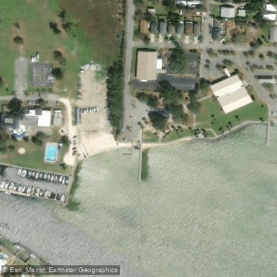
Sanders Beach Recreation Complex
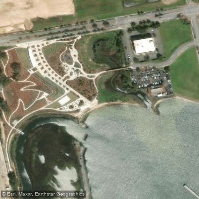
Bruce Beach Natural Area Kayak Launch
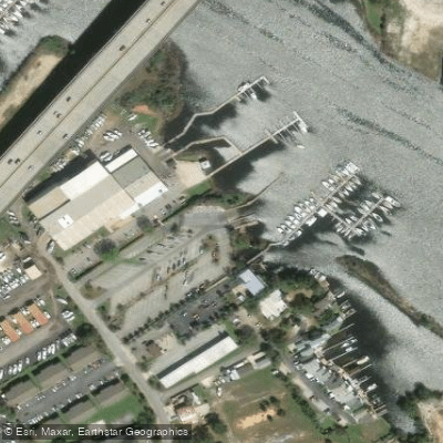
Mahogany Mill Public Boat Ramp
Paddle smarter with real-time insights
Whether you're en route and conditions shift or you're looking for the best spot based on current flows, we enable you to make informed decisions on the fly.








Find Places to Paddle

Over 400,000 Places to Paddle
Every user gets free access to launch points, boat ramps, and public property parcels.


Tides, wind & water conditions (10 day forecast)
On open water, wind and tide matter as much as the weather. See the best times to paddle Pensacola Bay and check the marine forecast before you launch.
Loading tide predictions…
Paddling near Pensacola Bay
Escambia River
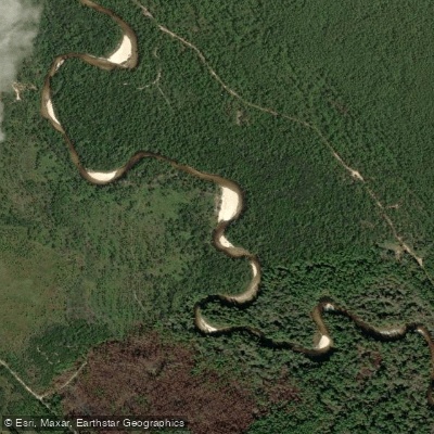
Perdido River
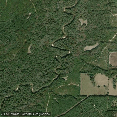
Yellow River
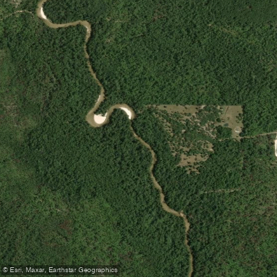
Blackwater River
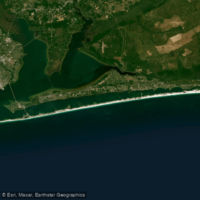
Santa Rosa Sound
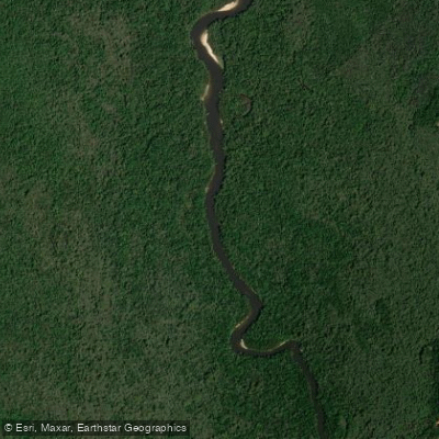
Delaney River
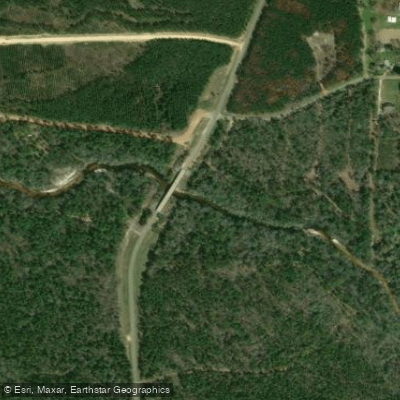
Styx River
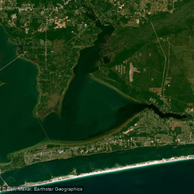
East Bay
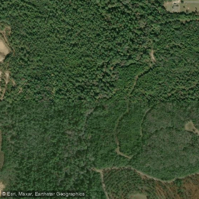
Pond Creek
Explore Florida waters
Top paddling waters
Popular Cities
Loading popular cities...
Explore near Pensacola Bay
Access points
- Pensacola Yacht Club Boat Ramp
- Gulf Breeze Wayside Park Boat Ramp
- Garcon Point Boat Ramp
- Pensacola Shipyard Marine Complex
- Gulf Breeze Wayside Park West (CLOSED DURING BRIDGE CONSTRUCTION)
- Garcon Point Public Boat Ramp
- Mahogany Mill Boat Ramp
- Sanders Beach Recreation Complex
- Bruce Beach Natural Area Kayak Launch
- Mahogany Mill Public Boat Ramp
- Jaunita Williams Park Kayak Launch Dock
- Navy Point Boat Ramp
- All 37 spots
Nearby waters
More in Florida

Smarter Paddling Starts in the App.
Paddleways gives you everything you need to plan smarter, paddle better, and own every trip from first launch to takeout.