Saint Martins Reefs
- Saltwater
- Bay
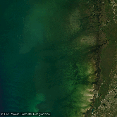
Saint Martins Reefs
- Saltwater
- Bay
- Sq. miles
- 698
- Boat Ramps
- 2
- Access Points
- 0
- Campsites
- 11
Saint Martins Reefs is part of the larger St. Martins Marsh Aquatic Preserve, a coastal estuarine system along the coast of Citrus County, Florida, situated between Crystal River to the north and Homosassa to the south. The preserve extends westward from the shoreline, encompassing a chain of islands known as the St. Martins Keys and featuring salt marshes, tidal creeks, seagrass beds, hardbottom habitat, and mangroves. This creates a complex and protected network of waterways ideal for kayaking and canoeing. The area is open 24/7, though access is dependent on public boat ramps managed by other entities. Key public access points for paddlers include Fort Island Gulf Beach, Fort Island Trail Park, Ozello Community Park, Crystal River Preserve State Park, the Duncan J. MacRae Public Boat Ramp at MacRae's of Homosassa, Ozello Fishing Pier and Park, the Crystal River City Boat Ramp, and Pete's Pier Boat Ramp. The aquatic preserve program itself offers no on-site facilities, so paddlers must check each specific launch location for available amenities like parking. The rich coastal ecosystems provide critical habitat for manatees, fish, and migratory birds, making wildlife viewing a significant part of the paddling experience. The preserve staff conducts long-term water quality monitoring in the area, including continuous monitoring off the Homosassa River, which suggests an active management focus on environmental health. The overall character is that of a shallow, biologically diverse estuary where paddlers can explore sheltered mangrove islands and extensive seagrass flats.
Water access, boat ramps & amenities
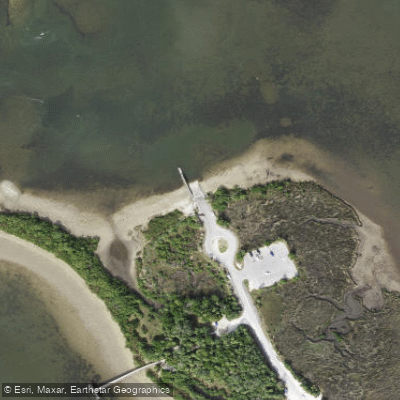
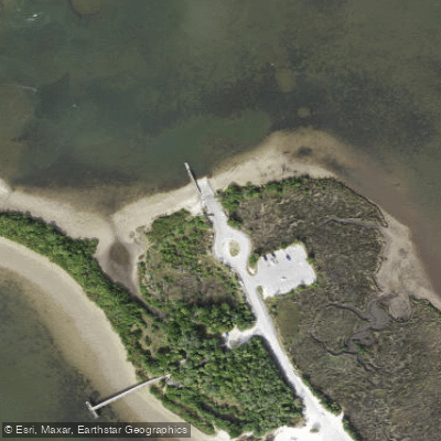
Learn how to get on Saint Martins Reefs. Uncover great paddling access points, boat ramps, and all the facilities you need for an unforgettable day on the water. Some locations shown may border or include private property. Always check property boundaries and applicable regulations before visiting. PaddleWays's Public & Private Land layer can help you plan your access with confidence.
Paddle smarter with real-time insights
Whether you're en route and conditions shift or you're looking for the best spot based on current flows, we enable you to make informed decisions on the fly.








Find Places to Paddle

Over 400,000 Places to Paddle
Every user gets free access to launch points, boat ramps, and public property parcels.


Tides, wind & water conditions (10 day forecast)
On open water, wind and tide matter as much as the weather. See the best times to paddle Saint Martins Reefs and check the marine forecast before you launch.
Loading tide predictions…
Paddling near Saint Martins Reefs
Pithlachascotee River
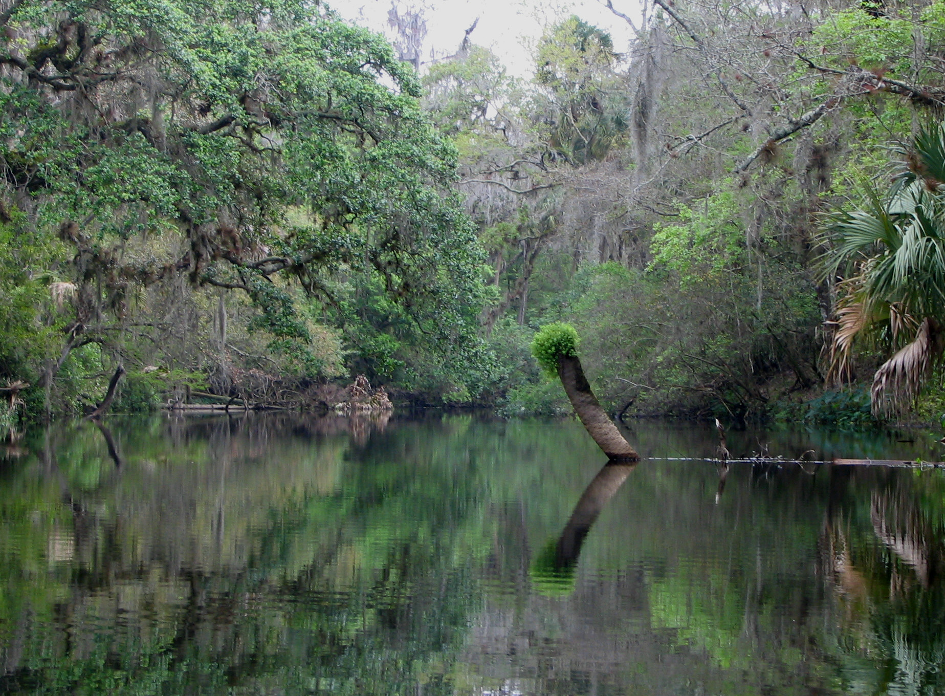
Hillsborough River
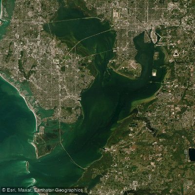
Tampa Bay
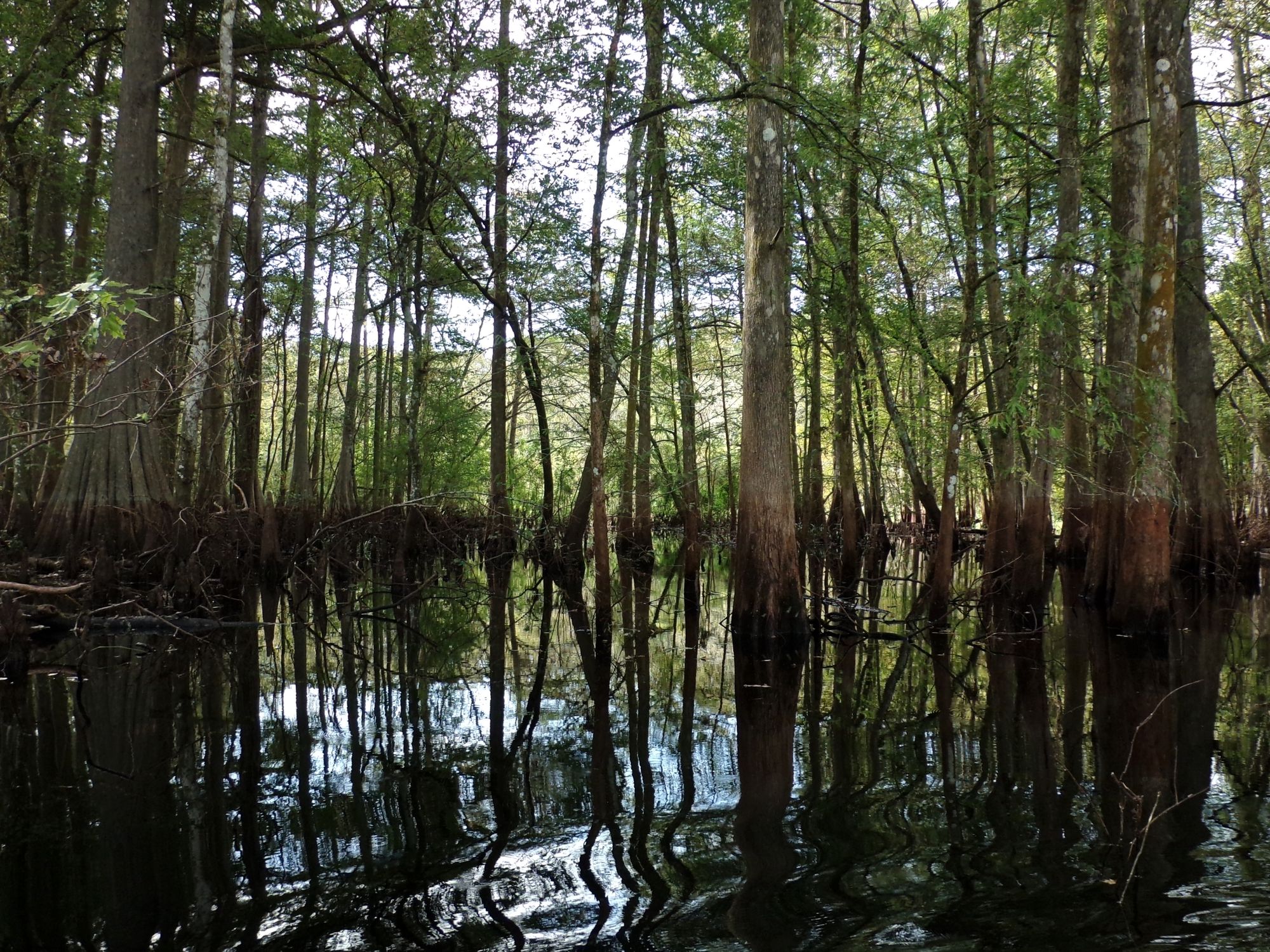
Withlacoochee River
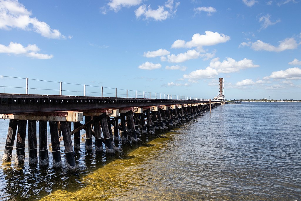
Manatee River
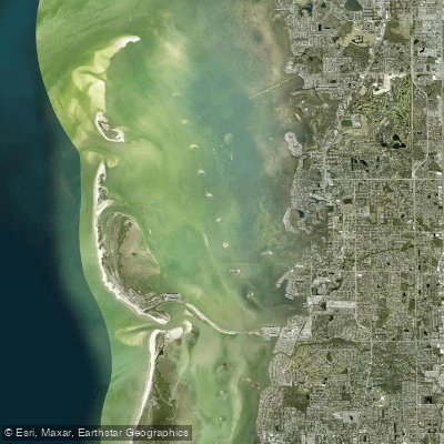
Saint Joseph Sound
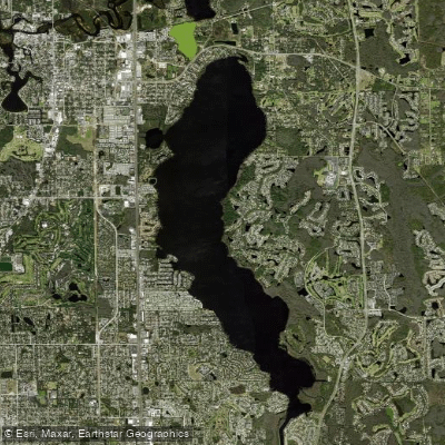
Lake Tarpon
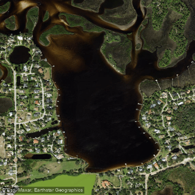
Salt Lake
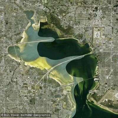
Old Tampa Bay
Orange Lake
Explore Florida waters
Top paddling waters
Popular Cities
Loading popular cities...
Explore near Saint Martins Reefs
Access points
- Fort Island Gulf Beach Park Boat Ramp
- Fort Island Gulf Beach Public Boat Ramp
- Jenkins Creek Bridge
- Weeki Wachee River Bridge
- Ross Canal Bridge
- Pithlachascotee River Bridge
- Bird Creek Bridge
- Halls River Bridge
- Oyster Creek Bridge
- Homosassa River Bridge
- Pithlachascotee River Bridge
- Lantern Travel Park Campground
- All 26 spots
Nearby waters
More in Florida

Smarter Paddling Starts in the App.
Paddleways gives you everything you need to plan smarter, paddle better, and own every trip from first launch to takeout.