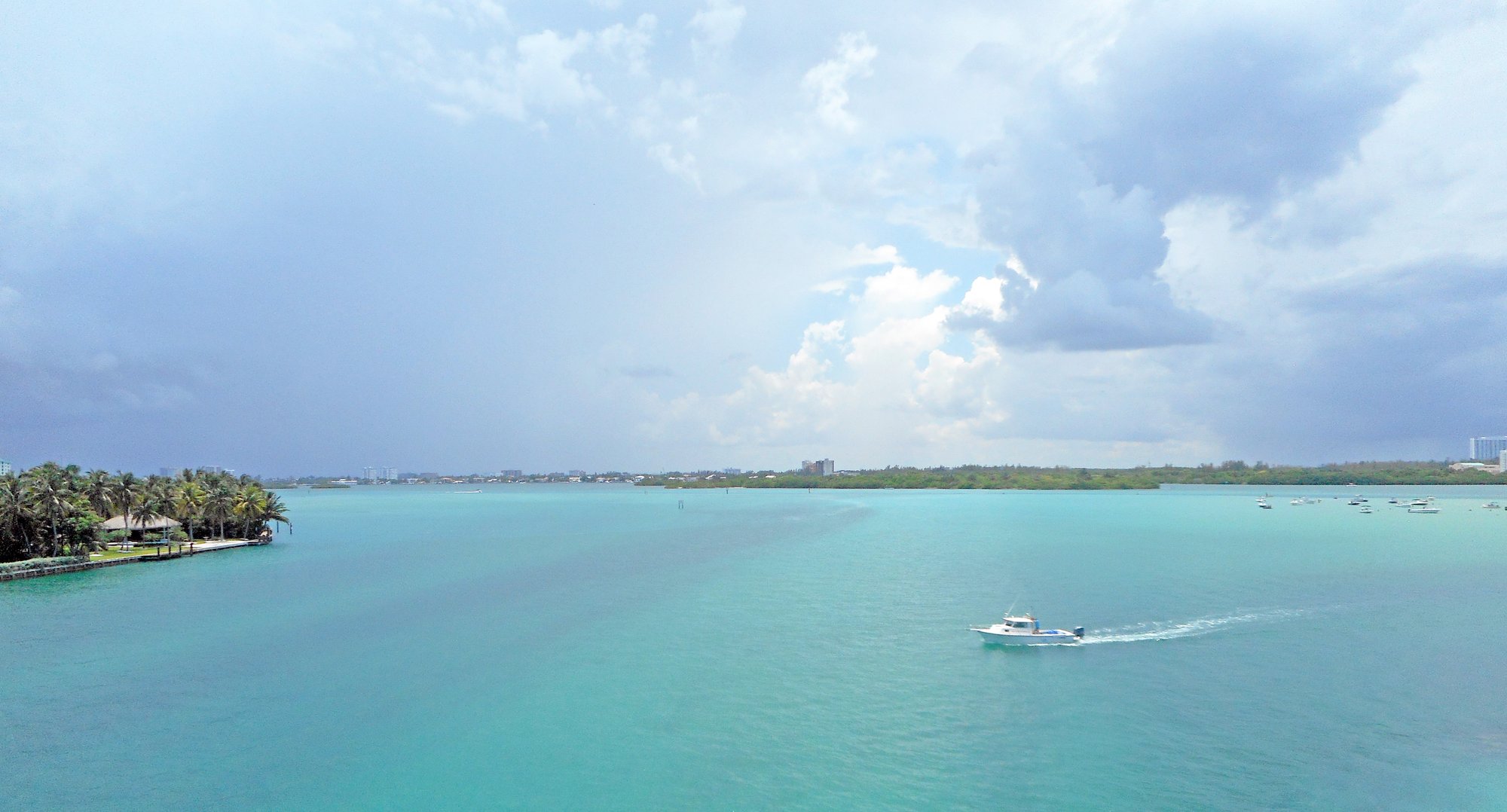
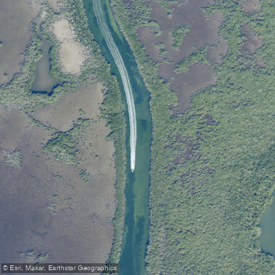
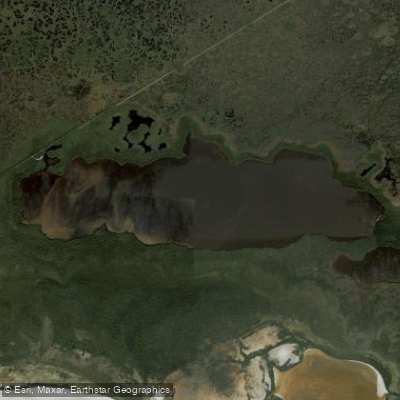
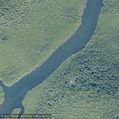
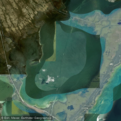
Tarpon Creek in Monroe County, Florida, offers paddlers a winding journey through mangrove-lined waterways in the Lower Florida Keys. Located near Sugarloaf Key between Mile Markers 17-27 on the Overseas Highway, this tidal creek provides access between the Atlantic side and Florida Bay, making it a useful passage for circumnavigational paddlers and casual kayakers alike. The creek features narrow mangrove tunnels that open into broader sections, with typical Keys scenery of shallow water over sandy or grassy bottom. Paddlers navigate through Upper Sugarloaf Sound and connect to Cudjoe Bay, with the waterway serving as a natural corridor through the island chain.
The area is known for harboring tarpon, particularly in spring when these silver kings gather in significant numbers—hence the creek's name.
Access is available from several points including Sugarloaf Creek launch areas and Park Channel. The Sugarloaf Key KOA campground, located along a well-marked channel on the Atlantic side, provides paddler access to this system. Some paddlers utilize an unauthorized primitive campsite near a collapsed bridge along Tarpon Creek, though this is not an official camping location.
Navigation requires attention to tidal flow, as currents can be significant in the narrower sections. The shallow nature of the creek means timing with tides is important to avoid grounding. Water depths vary considerably between high and low tide.
Wildlife viewing opportunities include wading birds in the mangroves, occasional manatees, and various fish species. The creek's protected nature makes it suitable for paddling on windier days when open water would be challenging.
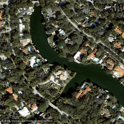
The surrounding area shows typical Lower Keys development, with homes and infrastructure visible in places, though the mangrove channels themselves maintain a more natural character. Mosquitoes can be intense, particularly in warmer months and around dawn or dusk.