Whitewater Bay
- Saltwater
- Bay
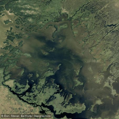
Whitewater Bay
- Saltwater
- Bay
- Sq. miles
- 30
- Boat Ramps
- 0
- Access Points
- 0
- Campsites
- 9
Whitewater Bay is a large, open saltwater bay within Everglades National Park in Florida, USA. It is a major inland body of water, over ten miles long and more than half that wide, with an irregular shape. The primary motorized boat access point is the Flamingo Marina boat ramp, which connects via the Buttonwood Canal to Coot Bay and then into Whitewater Bay. This ramp has dedicated parking. For non-motorized craft, paddlers can also launch from Flamingo and West Lake, though West Lake restricts motors to 6 horsepower or less. The bay is a key segment of the park's Wilderness Waterway, a marked route through the backcountry.
The paddling character is defined by significant exposure and remoteness. It is a challenging environment due to strong winds that can create arduous, choppy conditions across the open water. Navigation is notably tricky because of the monotony of the mangrove shoreline, which offers few distinct landmarks, making it easy to lose one's sense of direction. Paddlers are strongly encouraged to use NOAA Chart #11433 for navigation. The bay's aesthetic is one of vast "liquid land," dotted with mangrove islands and forests. Wildlife sightings can include American crocodiles, an endangered species found in the Flamingo area, manatees, and abundant wading birds like tri-colored herons.
Overnight trips are facilitated by backcountry camping platforms called chickees, which are located in Whitewater Bay and other areas. These are double platforms approximately 15 by 15 feet, equipped with a portable toilet. Accessing the platforms requires hauling gear up a ladder. Campers should be prepared for intense insects, particularly at dusk. The overall experience is one of a remote subtropical wilderness, demanding careful preparation for wind, navigation, self-sufficiency, and wildlife awareness.
Water access, boat ramps & amenities
Learn how to get on Whitewater Bay. Uncover great paddling access points, boat ramps, and all the facilities you need for an unforgettable day on the water. Some locations shown may border or include private property. Always check property boundaries and applicable regulations before visiting. PaddleWays's Public & Private Land layer can help you plan your access with confidence.
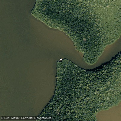
Watson River Chickee Campground
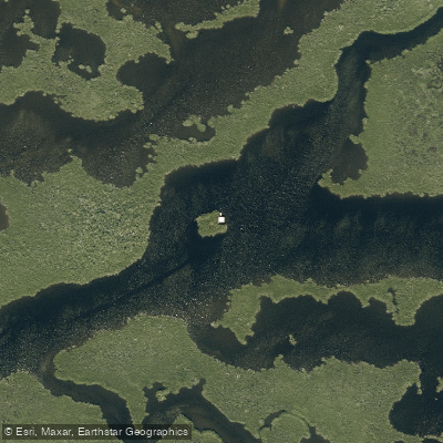
North River Chickee Campground
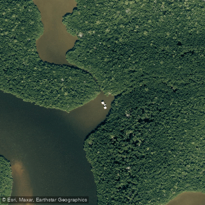
Joe River Chickee Campground
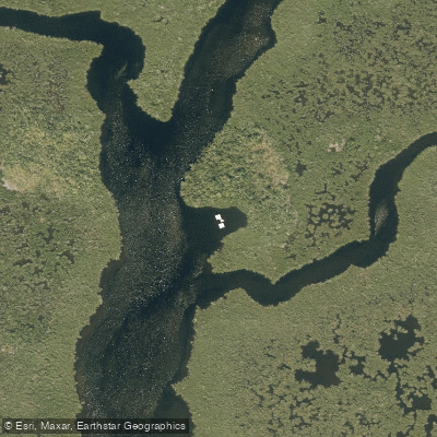
Roberts River Chickee Campground
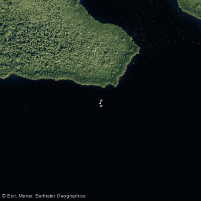
South Joe River Chickee Backcountry Campground
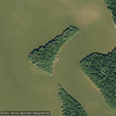
Oyster Bay Chickee Campground
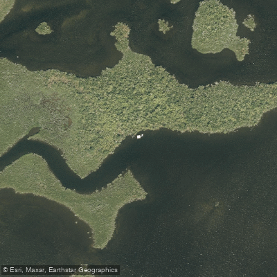
Lane Bay Chickee Campground
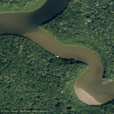
Shark River Chickee Campground
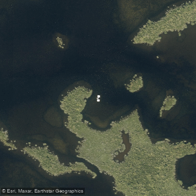
Hells Bay Chickee Campground
Paddle smarter with real-time insights
Whether you're en route and conditions shift or you're looking for the best spot based on current flows, we enable you to make informed decisions on the fly.








Find Places to Paddle

Over 400,000 Places to Paddle
Every user gets free access to launch points, boat ramps, and public property parcels.


Tides, wind & water conditions (10 day forecast)
On open water, wind and tide matter as much as the weather. See the best times to paddle Whitewater Bay and check the marine forecast before you launch.
Loading tide predictions…
Paddling near Whitewater Bay
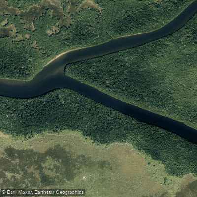
Harney River
Taylor Slough
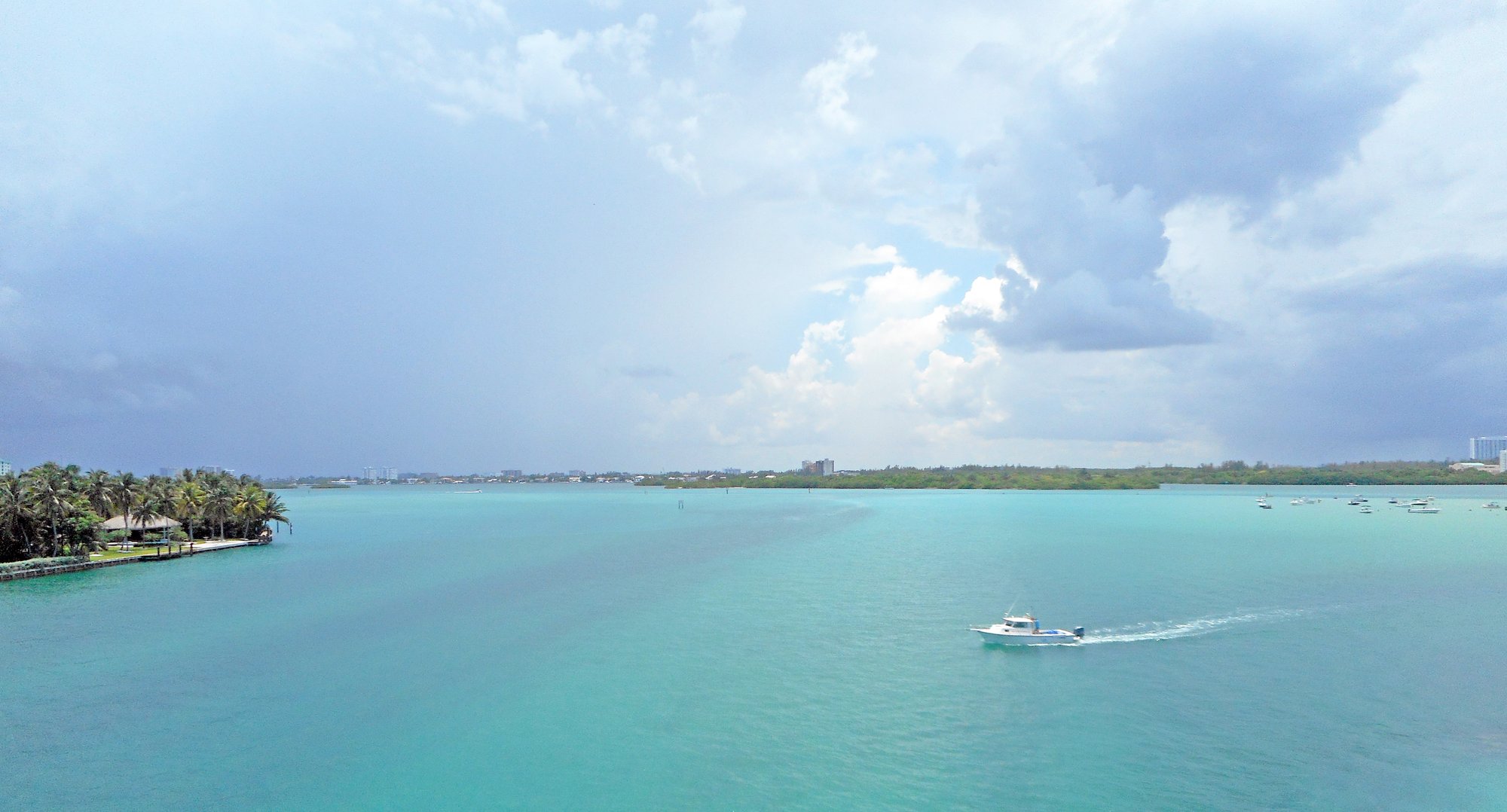
Biscayne Bay
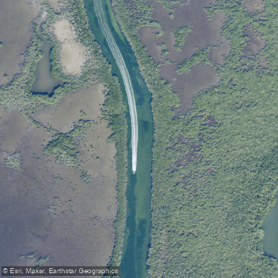
Dusenbury Creek
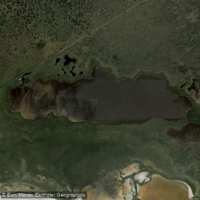
West Lake
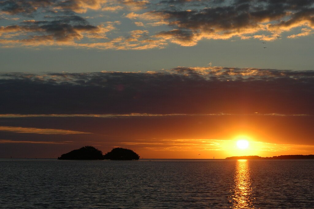
Florida Bay
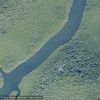
North Sound Creek
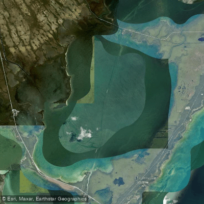
Barnes Sound
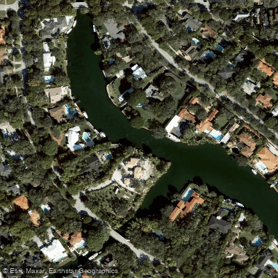
Coral Gables Waterway
Explore Florida waters
Top paddling waters
Popular Cities
Loading popular cities...
Explore near Whitewater Bay
Access points
Nearby waters
More in Florida

Smarter Paddling Starts in the App.
Paddleways gives you everything you need to plan smarter, paddle better, and own every trip from first launch to takeout.