Three Forks Trailhead access
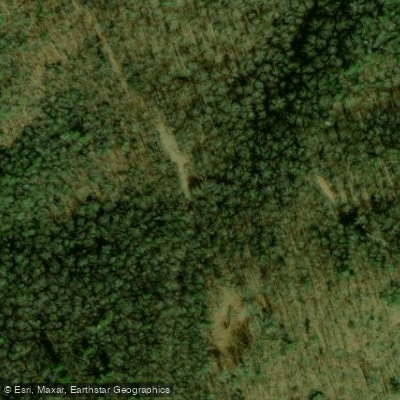
Three Forks Trailhead access
Three Forks is a junction trailhead where the Appalachian Trail and Benton MacKaye Trail meet, offering access to a 3. 7-mile moderate-to-difficult hike to Springer Mountain (the southern terminus of the AT).
The trailhead is located on Forest Service Road 58 near Noontootla Creek with a parking area marked by a "Hikers Crossing" sign; reach it via Aska Road to Newport Road to Doublehead Gap Road, then FS 58 for approximately 5. 3 miles.
Nearby points of interest
Find excellent paddling spots, easy access to boat ramps, and all the amenities you need for a memorable day. Your adventure starts here.
Water and weather conditions (10 day forecast)
Check the forecast at Three Forks Trailhead access before you go paddling.
No forecast data available.
Paddling near Three Forks Trailhead access

Tennessee River
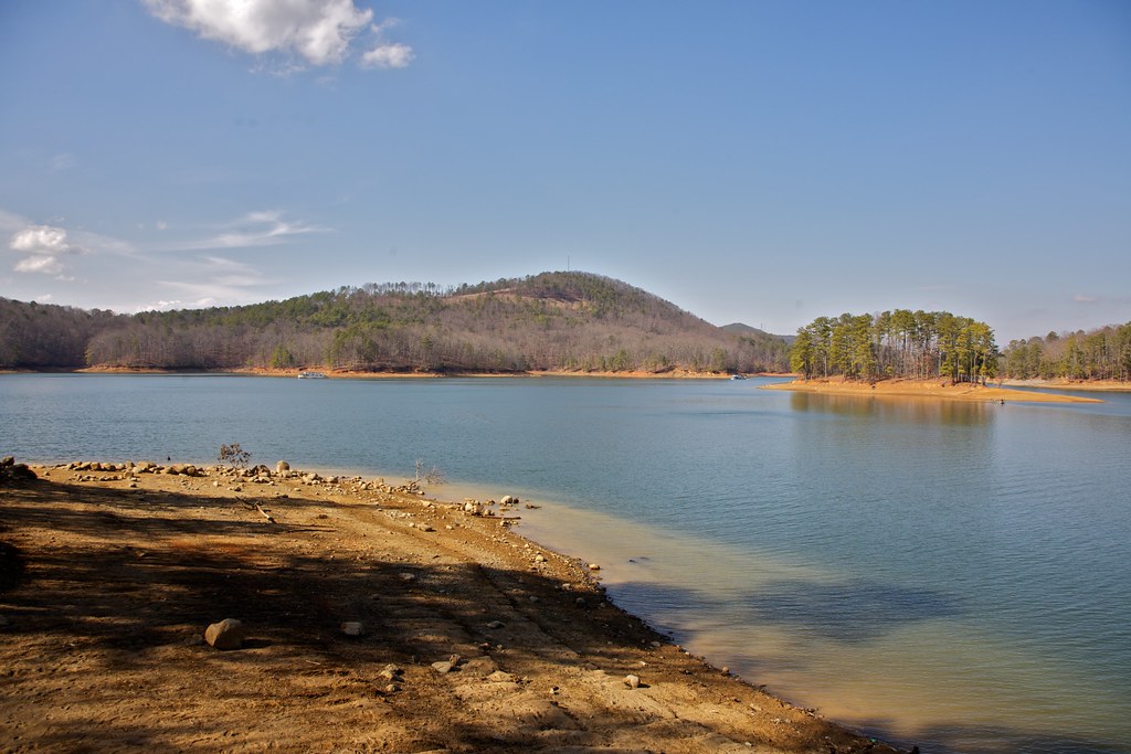
Allatoona Lake
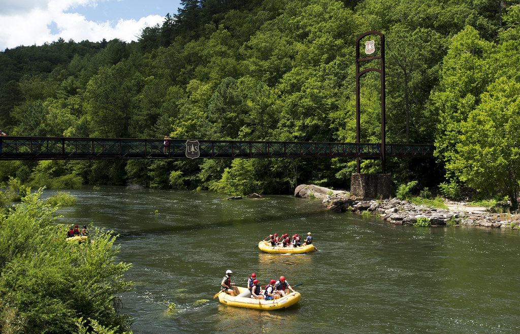
Ocoee River
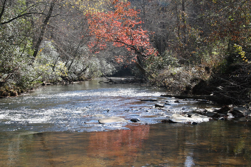
Etowah River
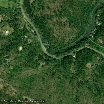
Toccoa River
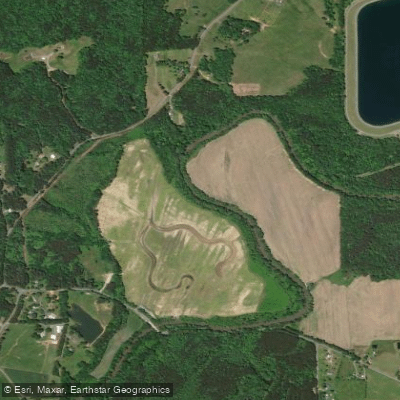
Conasauga River
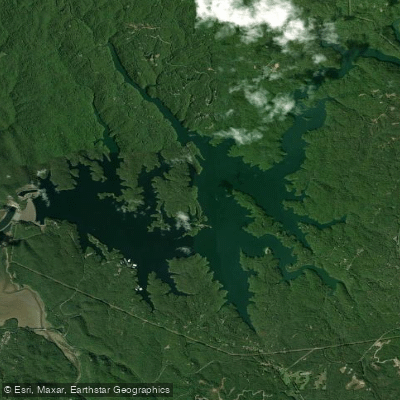
Carters Lake
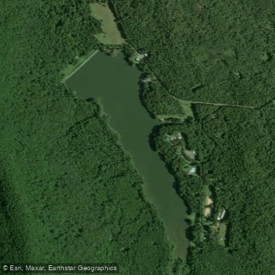
Lake Marvin
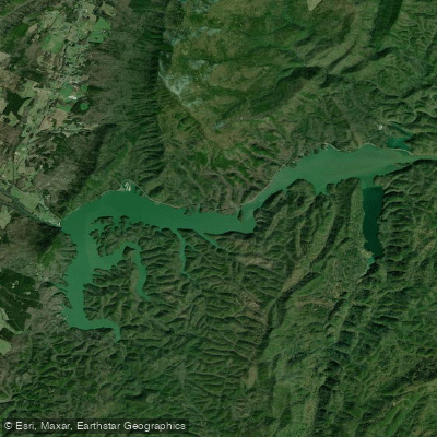
Lake Ocoee
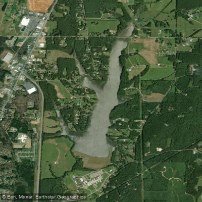
LaFayette City Reservoir
Georgia licenses and regulations
Explore Georgia waters
Top paddling waters
No waters available right now.
Popular Cities
Loading popular cities...
Explore near Three Forks Trailhead access
Nearby spots
Nearby waters
More in Georgia

Smarter Paddling Starts in the App.
Paddleways gives you everything you need to plan smarter, paddle better, and own every trip from first launch to takeout.