Allatoona Lake
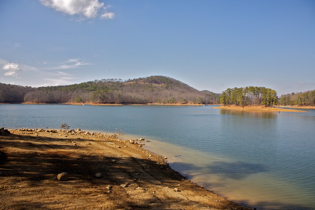
Allatoona Lake
- Boat Ramps
- 32
- Access Points
- 36
- Campsites
- 7
Lake Allatoona, located in Georgia, offers diverse paddling opportunities across its 12,010 acres. The lake features 270 miles of shoreline with numerous access points, including 15 public boat ramps operated by the U.S. Army Corps of Engineers. Popular launch sites include Olde Rope Mill Park and Red Top Mountain State Park.
Paddlers can explore secluded coves, inlets, and even visit small islands. Notable sights include Allatoona Falls (also called Toonigh Creek Falls) and historic train trestles jutting out of the water. The lake's clear waters allow visibility of fish species below the surface. Surrounding the lake are rolling hills covered in hardwood forests, providing scenic views and opportunities for wildlife spotting.
The lake tends to be busiest during summer months, particularly with motorized boat traffic. Early mornings typically offer the calmest water conditions for paddling. Water temperatures vary seasonally but are generally suitable for swimming in summer.
Several campgrounds operated by the Corps of Engineers provide amenities for paddlers, including McKaskey Creek Campground which offers 51 campsites, showers, and a boat ramp. Multiple marinas around the lake offer additional services.
Lake Allatoona has historical significance, with the area being the site of an intense Civil War battle in 1864. The lake itself was created in the 1940s as part of a flood control project, submerging the former town of Allatoona.
Paddlers should be aware of potential motorized boat traffic, especially on weekends and holidays. Life jackets (PFDs) are required by Georgia law. Several outfitters in the area offer kayak and paddleboard rentals for those without their own equipment.
Water access, boat ramps & amenities
Learn how to get on Allatoona Lake. Uncover great paddling access points, boat ramps, and all the facilities you need for an unforgettable day on the water. Some locations shown may border or include private property. Always check property boundaries and applicable regulations before visiting. PaddleWays's Public & Private Land layer can help you plan your access with confidence.
Paddle smarter with real-time insights
Whether you're en route and conditions shift or you're looking for the best spot based on current flows, we enable you to make informed decisions on the fly.








Find Places to Paddle

Over 400,000 Places to Paddle
Every user gets free access to launch points, boat ramps, and public property parcels.


Water and weather conditions (10 day forecast)
See the best times to paddle Allatoona Lake and check the forecast before you go.
ETOWAH RIVER ALLATOONA DAM TW, ABV CARTERSVILLE,GA
Paddling near Allatoona Lake
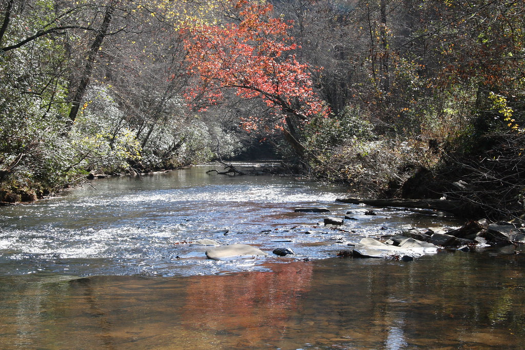
Etowah River

Chattahoochee River
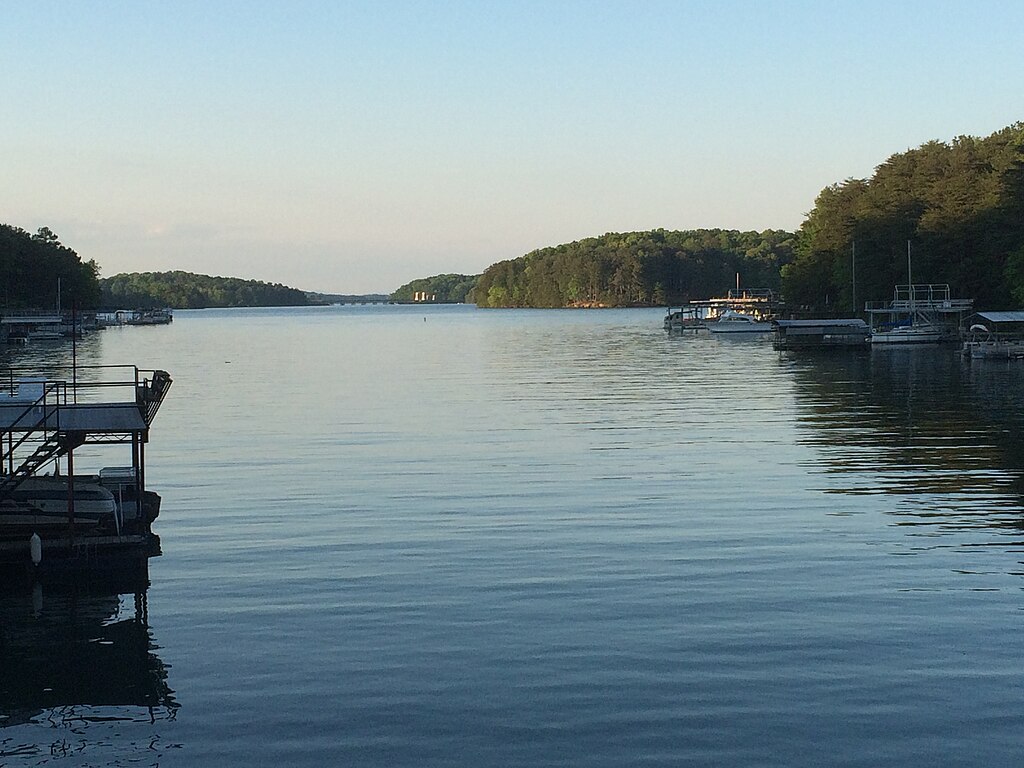
Lake Sidney Lanier

Flint River
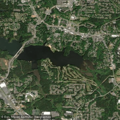
Lake Acworth
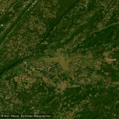
Weiss Lake
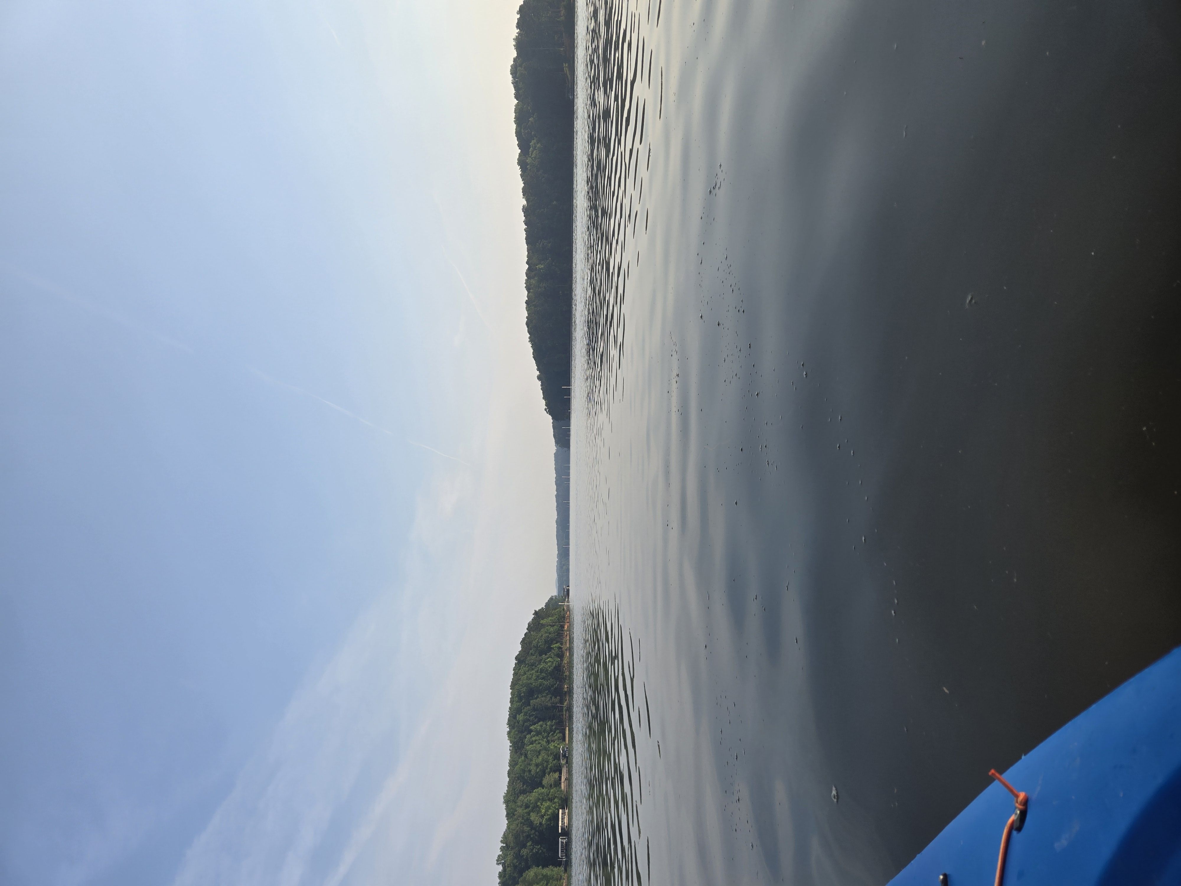
Allatoona Creek
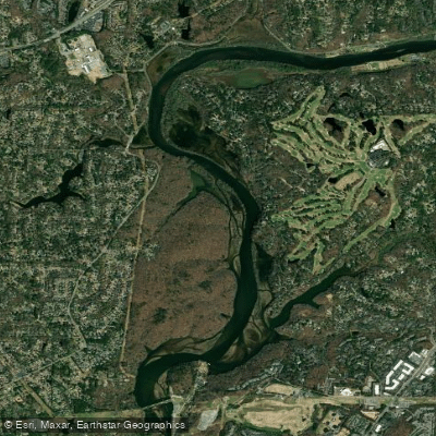
Bull Sluice Lake
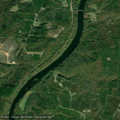
Tallapoosa River
Explore Georgia waters
Top paddling waters
Popular Cities
Loading popular cities...
Explore near Allatoona Lake
Access points
- Bethany Bridge Boat Ramp
- Victoria Day Use Area Boat Ramp
- Cooper Branch Boat Ramp
- Cherokee County Park Boat Ramp
- Victoria Harbor Marina Boat Ramp
- Glade Marina Boat Ramp
- Old Highway 41 Boat Ramp
- Holiday Harbor Marina Boat Ramp
- Webster Ferry Landing Boat Ramp
- McKinney Campground Boat Ramp
- McKaskey Creek Boat Ramp
- Bartow-Carver Park Boat Ramp
- All 125 spots
Nearby waters
More in Georgia

Smarter Paddling Starts in the App.
Paddleways gives you everything you need to plan smarter, paddle better, and own every trip from first launch to takeout.