Conasauga River
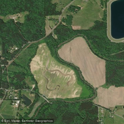
Conasauga River
- Boat Ramps
- 2
- Access Points
- 4
- Campsites
- 9
The Conasauga River is a scenic and ecologically significant waterway that originates in the Cohutta Wilderness of northern Georgia and flows northward into southeastern Tennessee. This 93-mile river is part of the upper Mobile River basin, joining with the Coosawattee River to form the Oostanaula River. The Conasauga offers diverse paddling opportunities across its length.
Its headwaters in Georgia feature challenging Class III-IV+ whitewater runs through the remote Cohutta Wilderness, including the Upper Upper Upper (4.6 miles), Upper Upper (7-8 miles), and Upper (7.4 miles) sections. These wilderness runs require advanced whitewater skills and often a hike to access put-ins. As the river flows north into Tennessee, it transitions to more moderate Class II-III paddling. A popular 10.1-mile section from Jacks River to U.S. 411 Bridge offers scenic views through the Cherokee National Forest. Near Dalton, Georgia, the Lower Conasauga provides easy Class I-II paddling suitable for beginners.
The river is best paddled in fall, winter, and spring when water levels are typically higher. Summer often brings low water conditions. Paddlers should check gauge readings, with 10-24 inches on the bridge gauge considered good levels for the upper sections.
The Conasauga is renowned for its biodiversity, hosting over 90 fish species and numerous rare mussels and plants. Paddlers may spot river otters, mink, and a variety of birds. The surrounding Cohutta Wilderness features diverse Appalachian forest ecosystems.
Key access points include Chestnut Lead Trail and Hickory Creek Trail for wilderness runs, Jacks River confluence for the Tennessee section, and developed launches near Dalton. Nearby towns include Chatsworth, Georgia and Ducktown, Tennessee.
Historically, the river was central to Cherokee settlements before European arrival. Today, it remains culturally significant to local communities and is an important water source for the region.
Safety considerations include remote wilderness settings on upper sections, potential strainers, and variable water levels. Paddlers should be prepared for self-rescue and carry appropriate safety gear. Multi-day trips are possible by combining sections, though camping options are limited in some areas.
The Conasauga River offers a remarkable range of paddling experiences, from challenging whitewater to peaceful floats, set against the backdrop of the southern Appalachians' natural beauty.
Water access, boat ramps & amenities
Learn how to get on Conasauga River. Uncover great paddling access points, boat ramps, and all the facilities you need for an unforgettable day on the water. Some locations shown may border or include private property. Always check property boundaries and applicable regulations before visiting. PaddleWays's Public & Private Land layer can help you plan your access with confidence.
Paddle smarter with real-time insights
Whether you're en route and conditions shift or you're looking for the best spot based on current flows, we enable you to make informed decisions on the fly.








Find Places to Paddle

Over 400,000 Places to Paddle
Every user gets free access to launch points, boat ramps, and public property parcels.


Water and weather conditions (10 day forecast)
See the best times to paddle Conasauga River and check the forecast before you go.
CONASAUGA RIVER AT GA 286, NEAR ETON, GA
All Flow Stations
Paddling near Conasauga River

Tennessee River
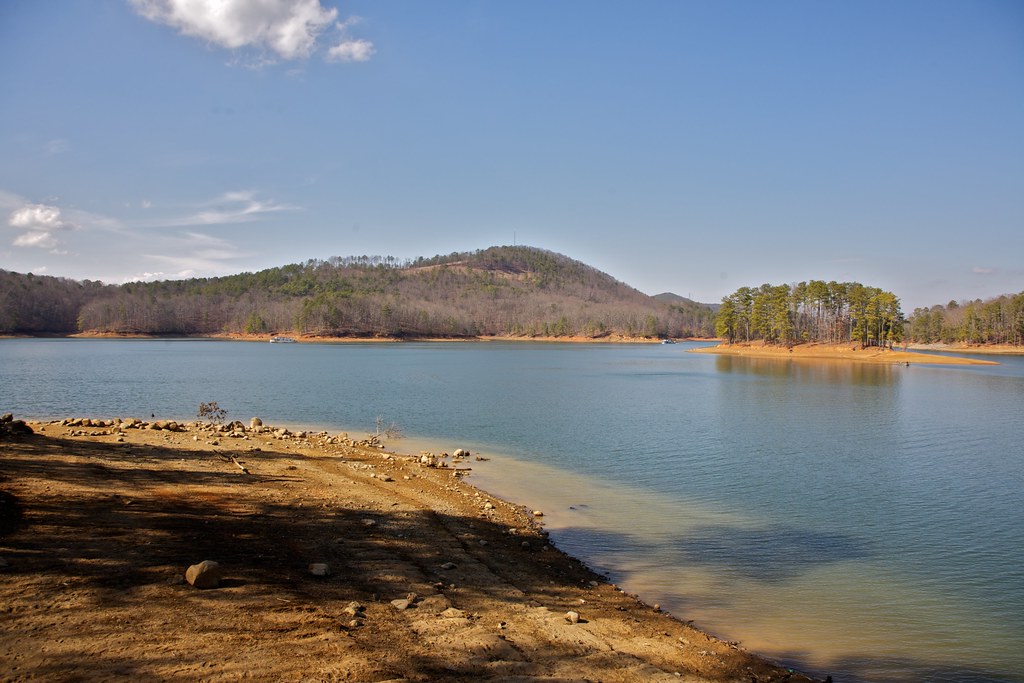
Allatoona Lake
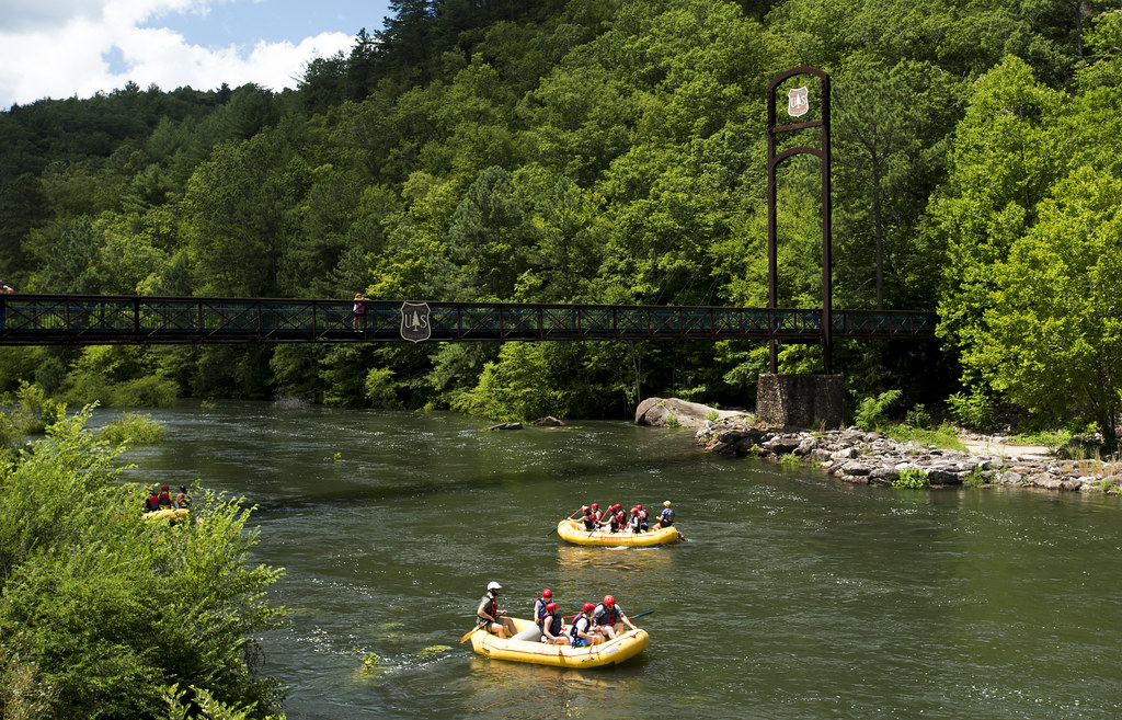
Ocoee River
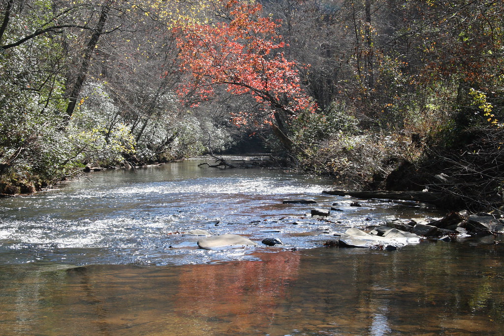
Etowah River
Toccoa River
Carters Lake
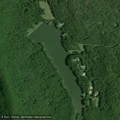
Lake Marvin
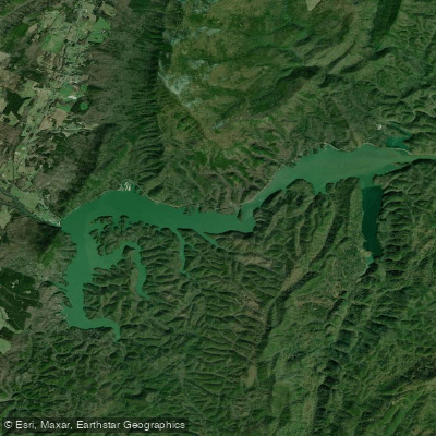
Lake Ocoee
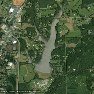
LaFayette City Reservoir
Explore Georgia waters
Top paddling waters
Popular Cities
Loading popular cities...
Explore near Conasauga River
Access points
Nearby waters
More in Georgia

Smarter Paddling Starts in the App.
Paddleways gives you everything you need to plan smarter, paddle better, and own every trip from first launch to takeout.