Toccoa River
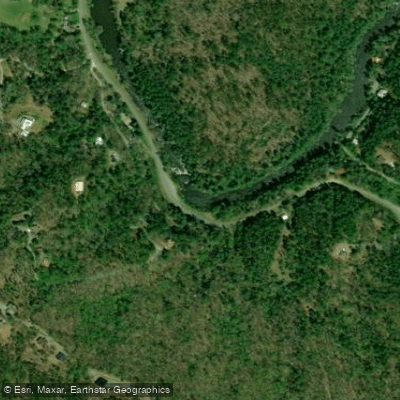
Toccoa River
- Boat Ramps
- 5
- Access Points
- 13
- Campsites
- 11
The Toccoa River is a scenic waterway flowing through the Blue Ridge Mountains of North Georgia, offering paddlers a diverse range of experiences from gentle flatwater to exciting rapids. This beautiful river begins in Union County and flows westward before turning north towards McCaysville, Georgia, where it crosses into Tennessee and becomes the Ocoee River.
The river is divided into two main sections by Lake Blue Ridge. The upper Toccoa, above the lake, features the popular Toccoa River Canoe Trail - a 13.8-mile stretch from Deep Hole Recreation Area to Sandy Bottoms. This section is ideal for beginners and families, with mostly Class I-II rapids interspersed with calm pools.
The lower Toccoa, below Lake Blue Ridge Dam, offers a wider, dam-controlled flow suitable for tubing, kayaking, and fishing. Paddlers of all skill levels can find suitable sections on the Toccoa. The upper river is best for those seeking a wilderness experience, while the lower sections near Blue Ridge and McCaysville cater to recreational paddlers and families.
Water levels on the lower river are influenced by dam releases, so checking the schedule is crucial for a safe and enjoyable trip. Spring and fall are ideal seasons for paddling the Toccoa, offering comfortable temperatures and beautiful scenery. Summer is popular for tubing and family outings on the lower river, while winter paddling is possible for experienced kayakers with proper cold-water gear.
The river corridor is home to diverse flora and fauna. Paddlers may spot various fish species, including trout, as well as river otters, deer, and a variety of birds. The banks are lined with towering trees, laurel thickets, and impressive rock outcroppings, giving sections of the river a Pacific Northwest feel.
Notable landmarks include Deep Hole Recreation Area, Sandy Bottoms, Blue Ridge Dam, Horseshoe Bend Park, and the twin cities of McCaysville, Georgia, and Copperhill, Tennessee. These access points provide amenities for paddlers and serve as popular put-in and take-out locations.
The Toccoa River holds cultural significance as a long-standing destination for recreation and fishing. It played a role in the region's mining history and continues to be an important economic driver through tourism.
Safety considerations include checking dam release schedules, being aware of strainers and log jams, and respecting private property along the banks. Life jackets are essential, and paddlers should be prepared for limited cell phone coverage in some areas.
For those seeking a multi-day adventure, it's possible to combine the upper Toccoa Canoe Trail with the section from Sandy Bottoms to Tilley Bend, creating a roughly 20-mile journey through some of North Georgia's most pristine wilderness.
The Toccoa River offers a perfect blend of natural beauty, accessible paddling, and rich local culture, making it a must-visit destination for outdoor enthusiasts in the Southeast.
Water access, boat ramps & amenities
Learn how to get on Toccoa River. Uncover great paddling access points, boat ramps, and all the facilities you need for an unforgettable day on the water. Some locations shown may border or include private property. Always check property boundaries and applicable regulations before visiting. PaddleWays's Public & Private Land layer can help you plan your access with confidence.
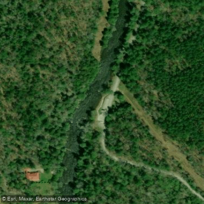
Toccoa River Sandy Bottoms Recreation Area Access
Deep Hole Recreation Area Access
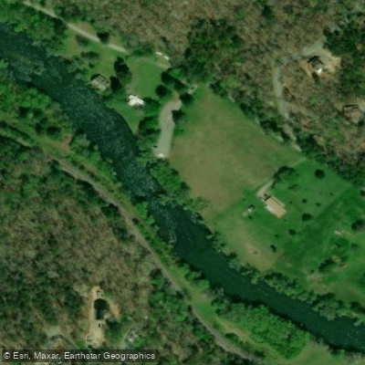
Curtis Switch Park Access
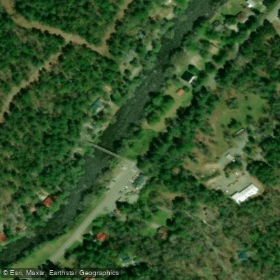
Shallowford Bridge Access
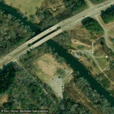
Tammen Park Access
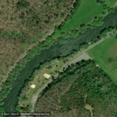
Horseshoe Bend River Park Access
Dial Rd Access
Tilley Bend Access
Paddle smarter with real-time insights
Whether you're en route and conditions shift or you're looking for the best spot based on current flows, we enable you to make informed decisions on the fly.








Find Places to Paddle

Over 400,000 Places to Paddle
Every user gets free access to launch points, boat ramps, and public property parcels.


Water and weather conditions (10 day forecast)
See the best times to paddle Toccoa River and check the forecast before you go.
OCOEE RIVER AT COPPERHILL, TN
All Flow Stations
Paddling near Toccoa River

Tennessee River
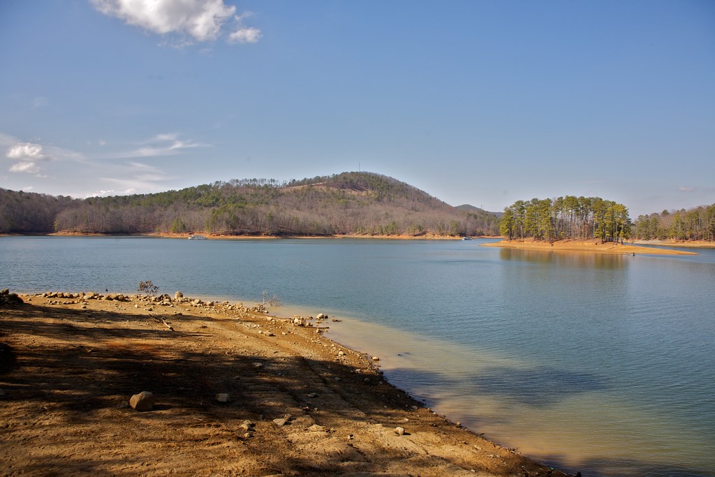
Allatoona Lake
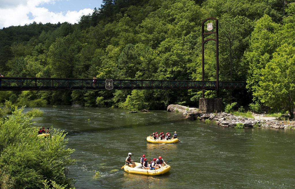
Ocoee River
Etowah River
Conasauga River
Carters Lake
Lake Marvin
Lake Ocoee
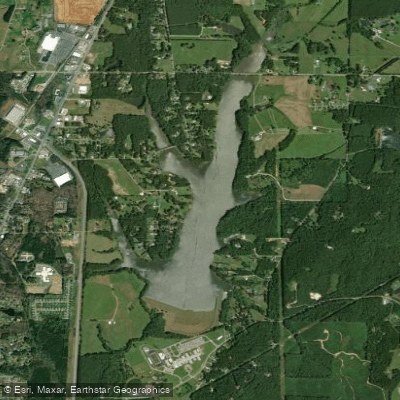
LaFayette City Reservoir
Explore Georgia waters
Top paddling waters
Popular Cities
Loading popular cities...
Explore near Toccoa River
Access points
- Sandy Bottom Boat Ramp
- Horseshoe Bend Park Boat Ramp
- Toccoa River Park Boat Ramp
- Curtis Switch Boat Ramp
- Tammen Park Boat Ramp
- Toccoa River Sandy Bottoms Recreation Area Access
- Deep Hole Recreation Area Access
- Curtis Switch Park Access
- Shallowford Bridge Access
- Tammen Park Access
- Horseshoe Bend River Park Access
- Dial Rd Access
- All 94 spots
Nearby waters
More in Georgia

Smarter Paddling Starts in the App.
Paddleways gives you everything you need to plan smarter, paddle better, and own every trip from first launch to takeout.