Curated by PaddleWays
RouteClass I–III
- Distance
- 3 mi
- Paddle time
- ~1 hr
- Put-in → take-out
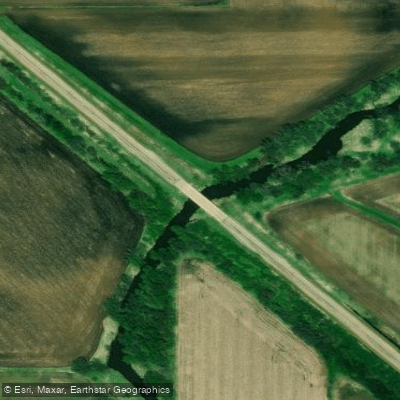
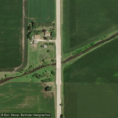
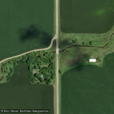
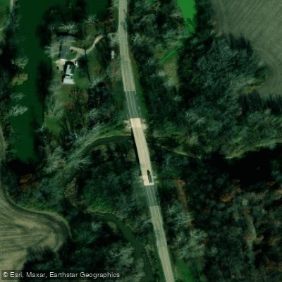
- Highway 80 twin bridges → Highway 34
Big Bureau Creek is a 73-mile tributary of the Illinois River flowing through north central Illinois. The creek originates near Compton in Lee County, approximately 10 miles north of Mendota, and follows a distinctive course southwest into Bureau County. At Princeton, it makes a southward turn before flowing east into the Illinois River floodplain, eventually joining the Illinois River south of Bureau. The watershed encompasses 498 square miles and features a gradient of approximately 5.5 feet per mile through the paddleable sections.
The creek offers exceptional paddling opportunities through heavily wooded terrain and open farmlands, with the most popular run starting at the historic Red Covered Bridge north of Princeton. This 13-mile section to County Road 1150 near Tiskilwa stands out as a bucket list-worthy paddle for intermediate paddlers. The creek can also be broken into shorter segments, including a delightful 3-4 mile upper section from Red Covered Bridge to Highway 80, and a middle section continuing to Highway 34. The river maintains Class I-II difficulty throughout most sections, with potential for Class II-III conditions during high water events, particularly near the former Hennepin Canal siphon where larger waves may require portaging for less experienced paddlers.
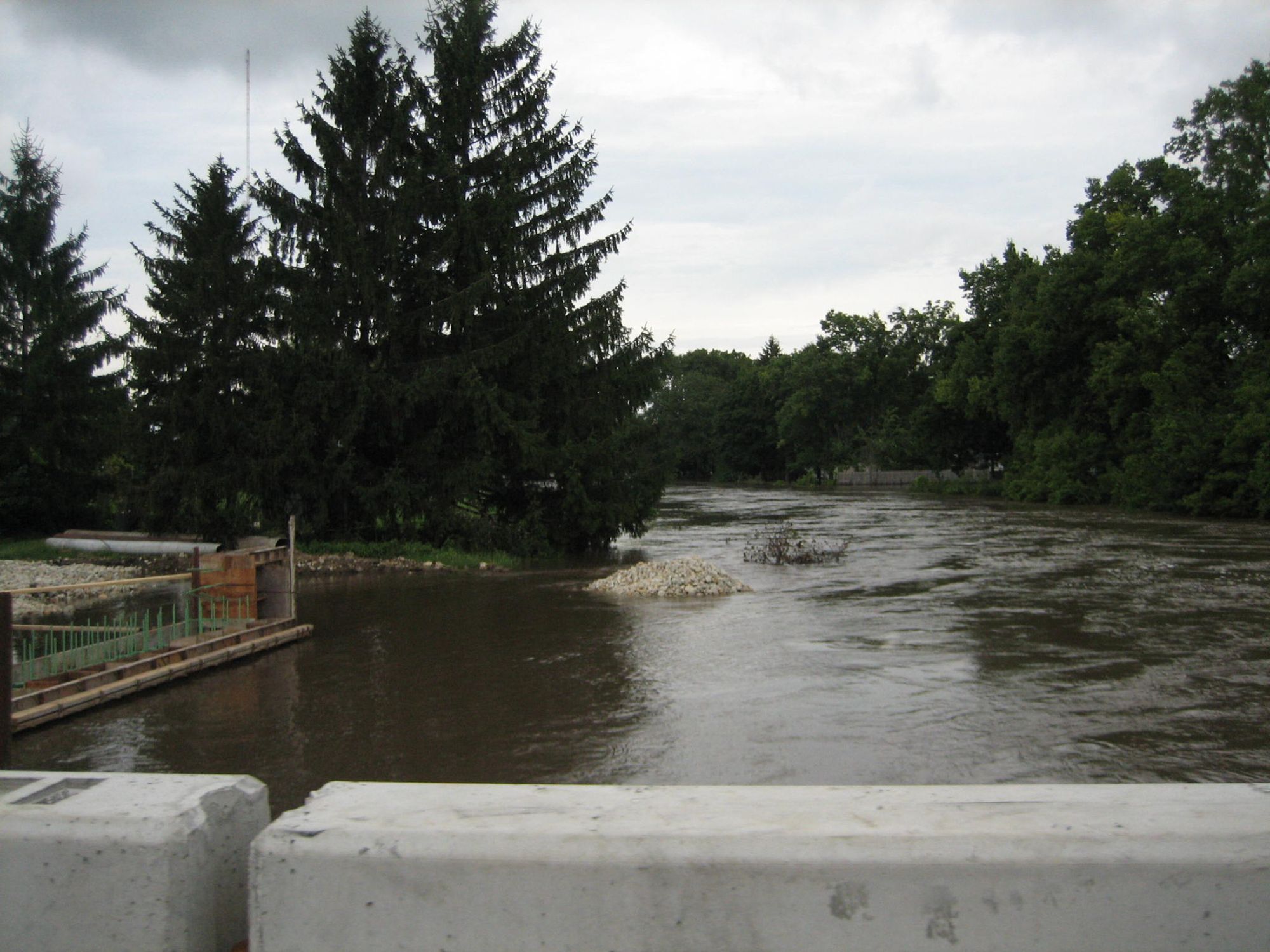
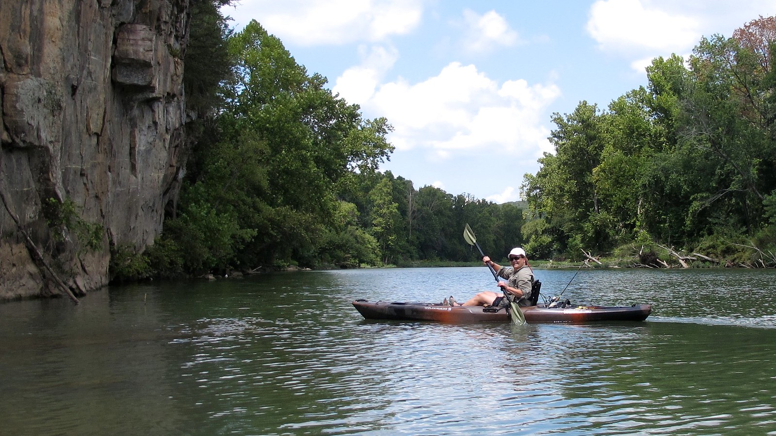
Water levels prove critical for Big Bureau Creek, with 350 cfs considered absolute minimum and 450 cfs ideal for paddling. The creek runs best during spring runoff and after significant rainfall, requiring paddlers to time their trips carefully. The riffly character dominates most of the run, with numerous standing waves, gravel bars, and sporadic rapids providing continuous engagement. High clay and sand bluffs create dramatic scenery, alternating with low-cut mud banks and occasional wooded passages.
Notable landmarks include the Red Covered Bridge, a 149-foot wooden span built in 1863 for $3,148.57, listed on the National Register of Historic Places. This historic structure once served as part of the Peoria-Galena Trail. Downstream, paddlers encounter the Captain Swift Bridge, an all-wood covered bridge offering a second covered bridge experience in a single trip. The creek also passes under or near the Hennepin Canal, creating interesting hydraulic features.
Access points center around Princeton and Tiskilwa in Bureau County, with the Red Covered Bridge Park serving as the primary put-in. Most land surrounding the creek remains privately owned, limiting camping opportunities and requiring respect for property boundaries. Paddlers should remain alert for brush buildup, beaver dams, and submerged rocks throughout the run. The creek continues to support large blocks of intact wildlife habitat amid agricultural lands, providing fishing opportunities for smallmouth bass, bluegill, and other species.
Curated routes
Hand-picked by the PaddleWays team, with put-ins, take-outs, paddle times and the hazards along the way.
RouteClass I–III
RouteClass I–II
RouteClass I–II
Hazards
No hazards are marked on Big Bureau Creek yet. That is not the same as none being there: if you find one, report it for the next paddler.
From the community
Nobody has shared a trip on Big Bureau Creek yet. Paddle it, then tell the next paddler how it went.
See exactly where the public can get on and off the river. Launch points and boat ramps are paired with PaddleWays' public land data so you know where you can legally land.
Public shoreline
3%of the river's shoreline is public
Most of the riverbank is private. Launch, land and camp only at public access points.
Flows, weather and a route-by-route verdict, so you know which stretch of the Big Bureau Creek is worth paddling today.
Live flows, marked hazards and fresh trip reports from paddlers who were just on the water, all in one place.





Every user gets free access to launch points, boat ramps, and public property parcels.
Loading popular cities...
PaddleWays gives you everything you need to plan smarter, paddle better, and own every trip from first launch to takeout.